California


Sep 12-18 2021
Sunday, Sep 12th
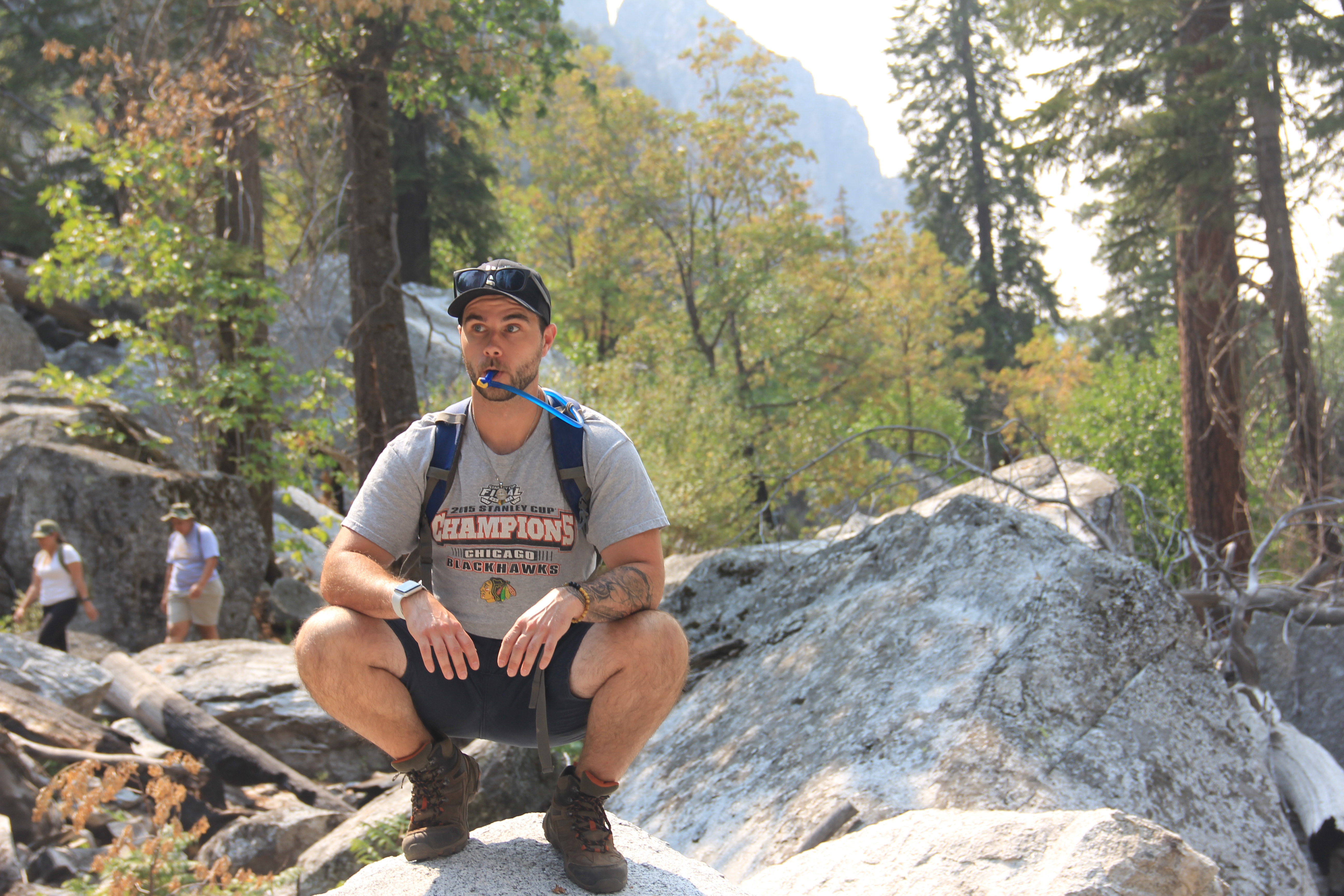
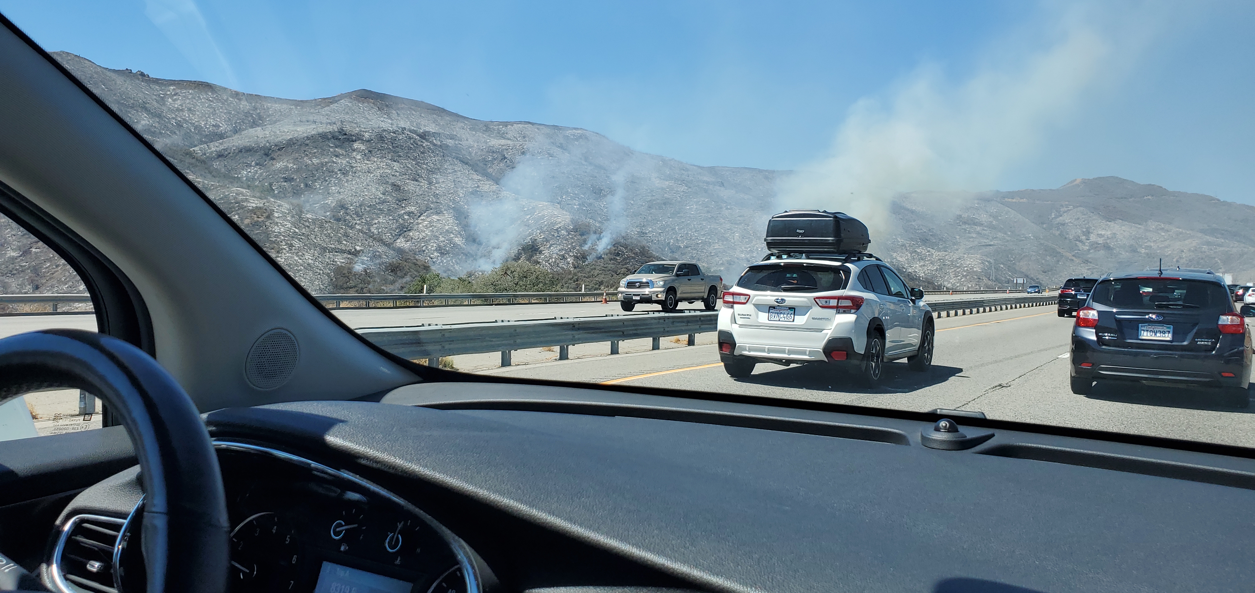
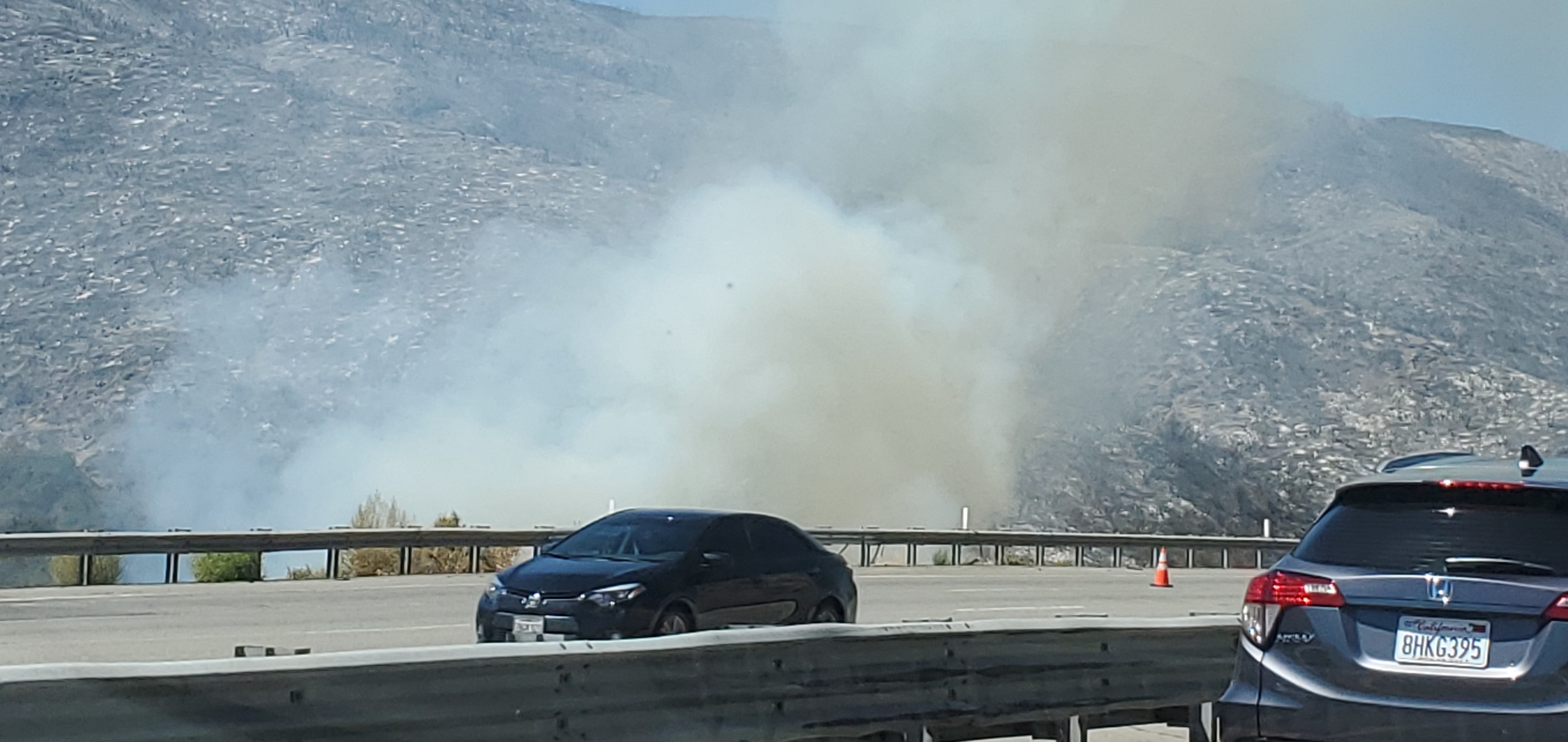
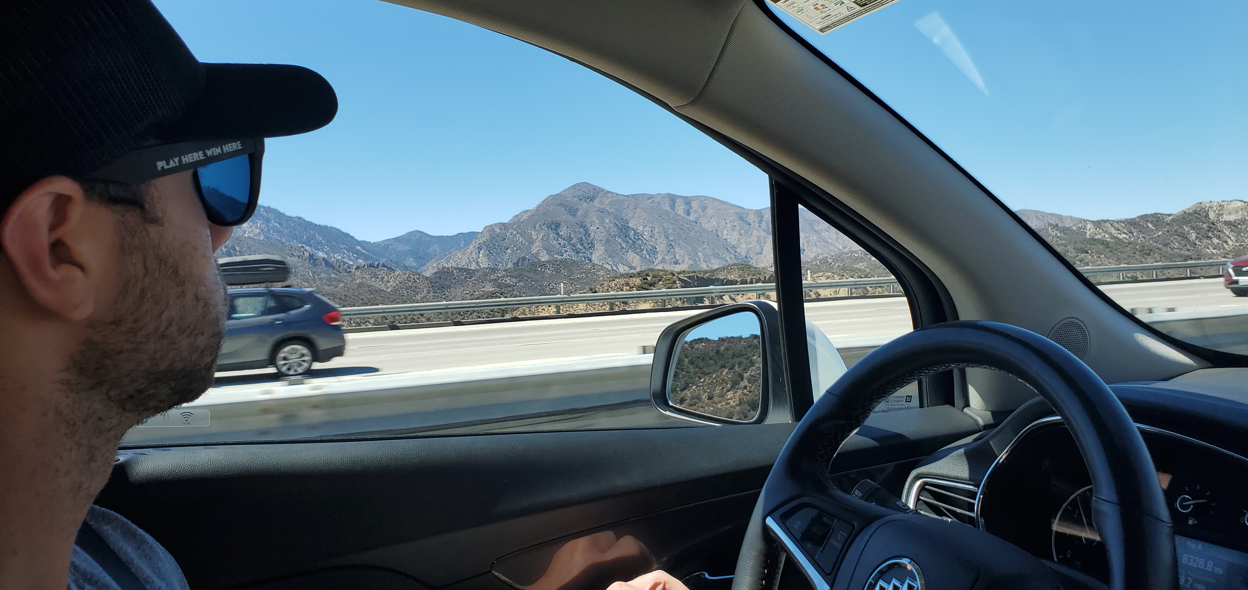
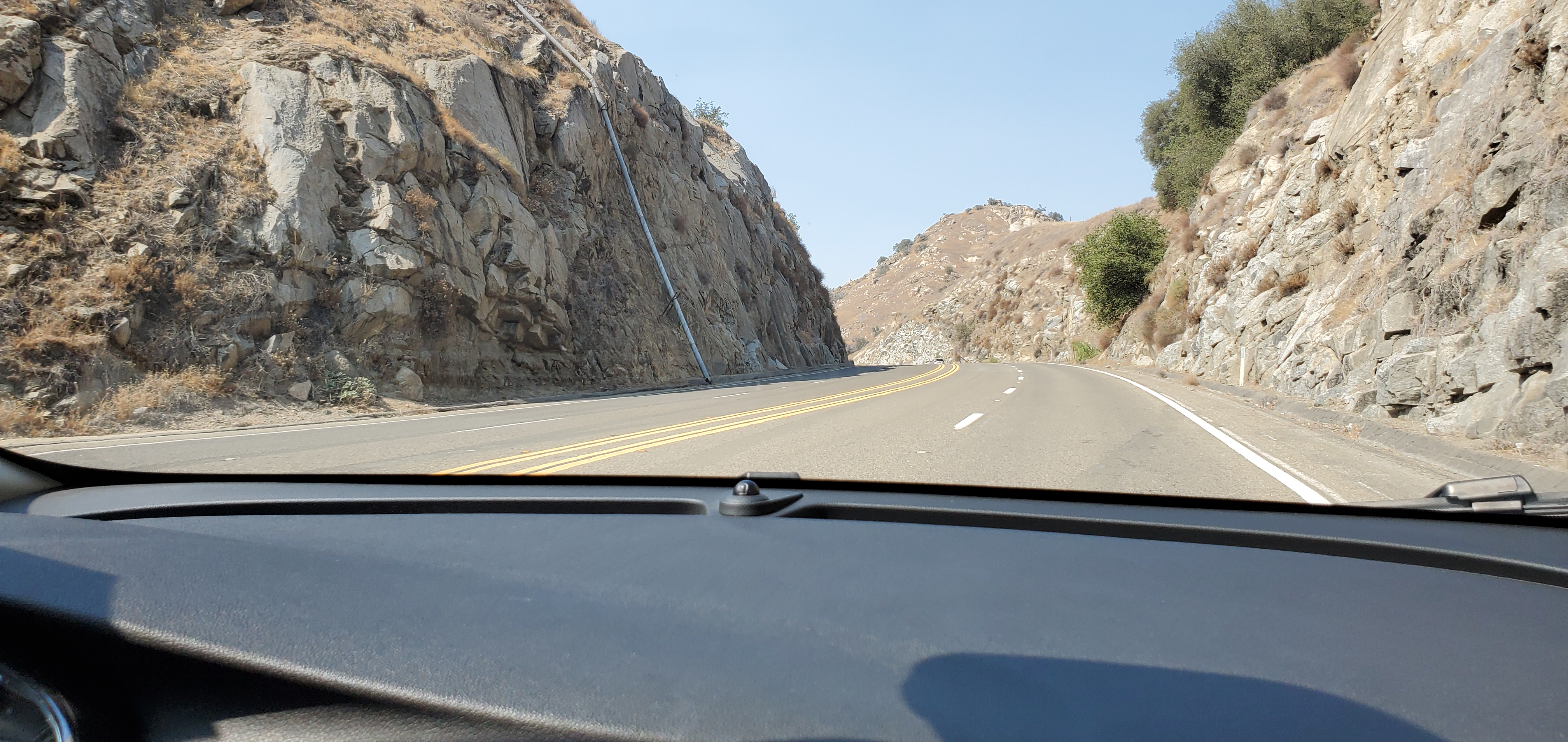
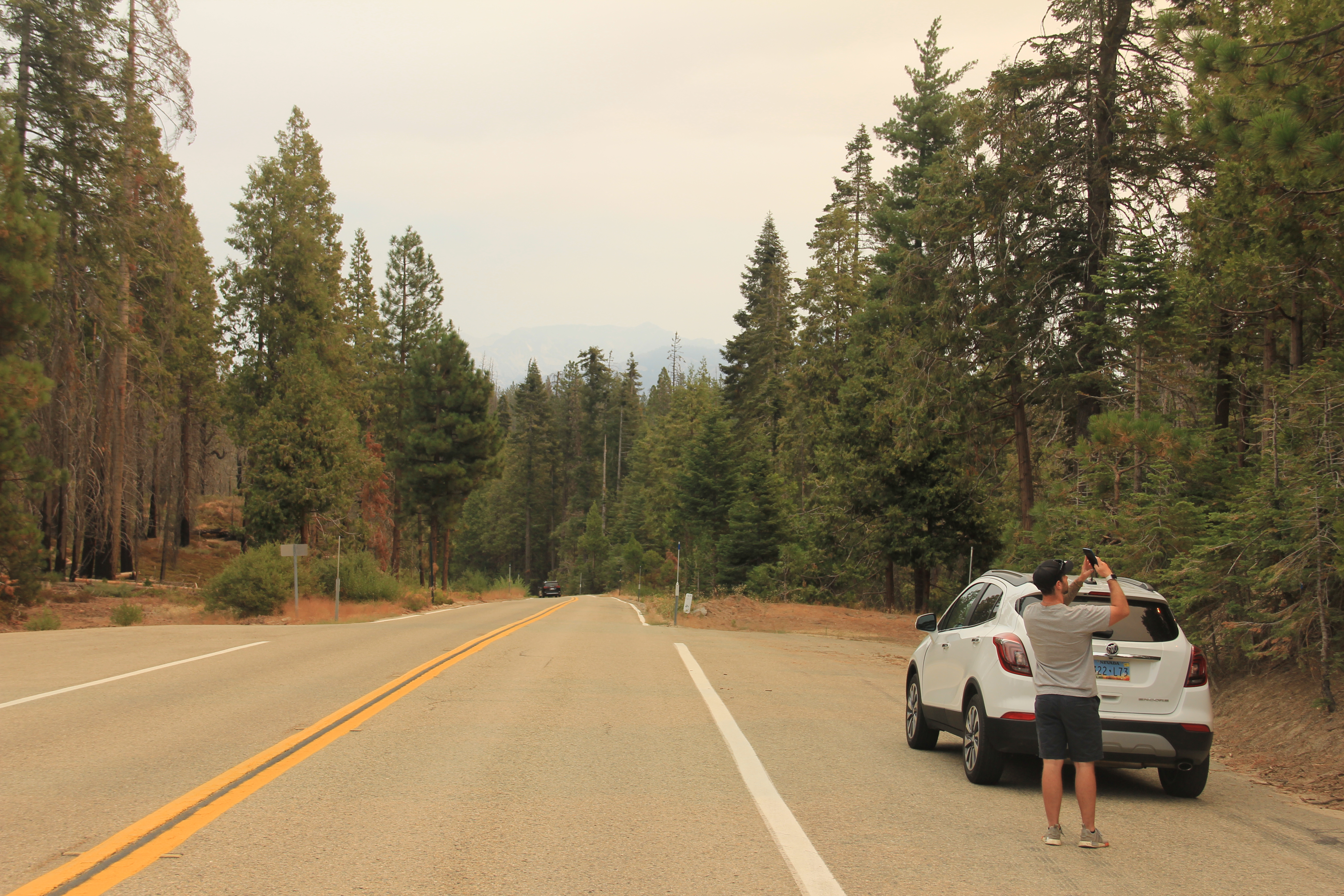
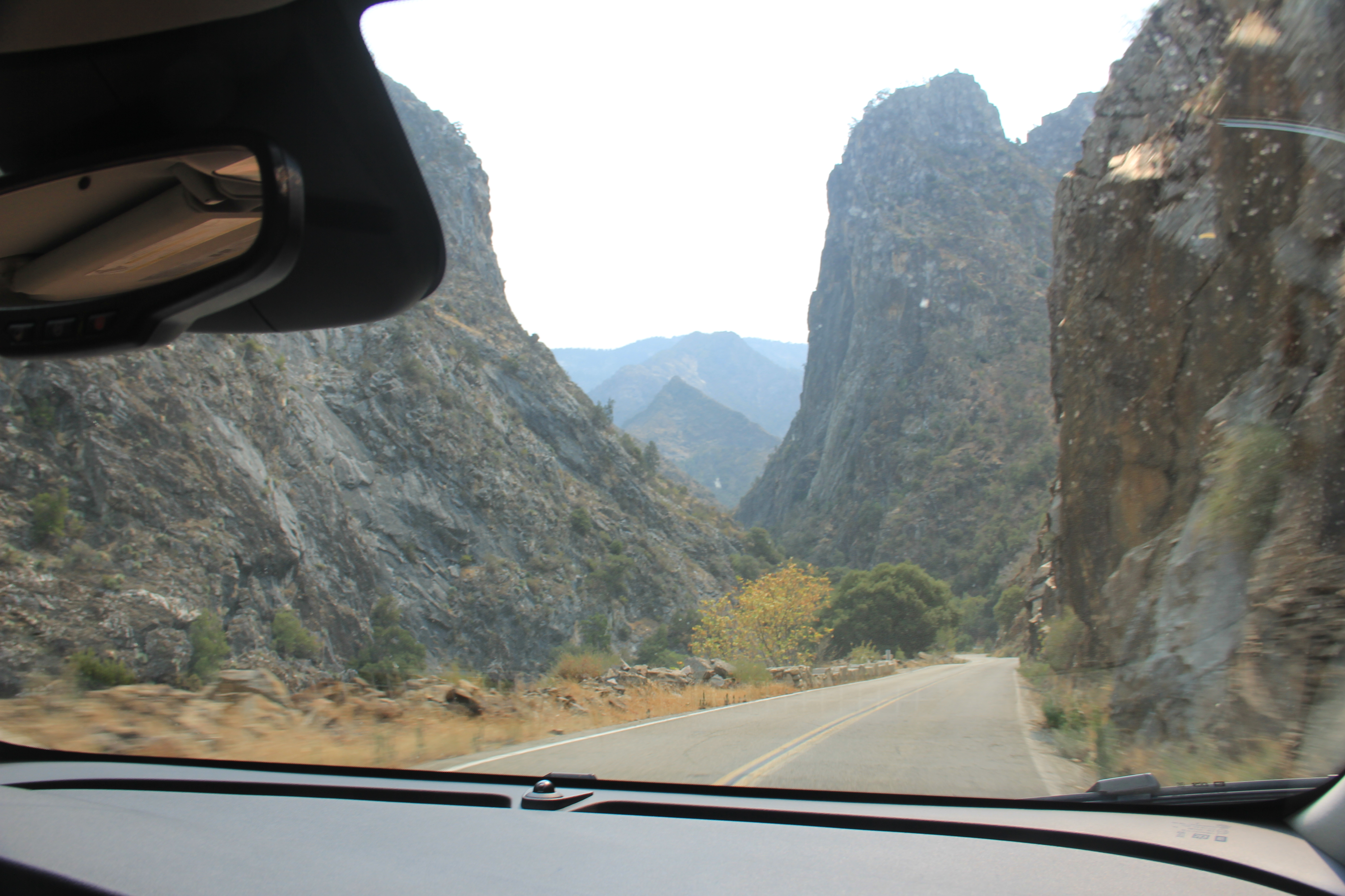
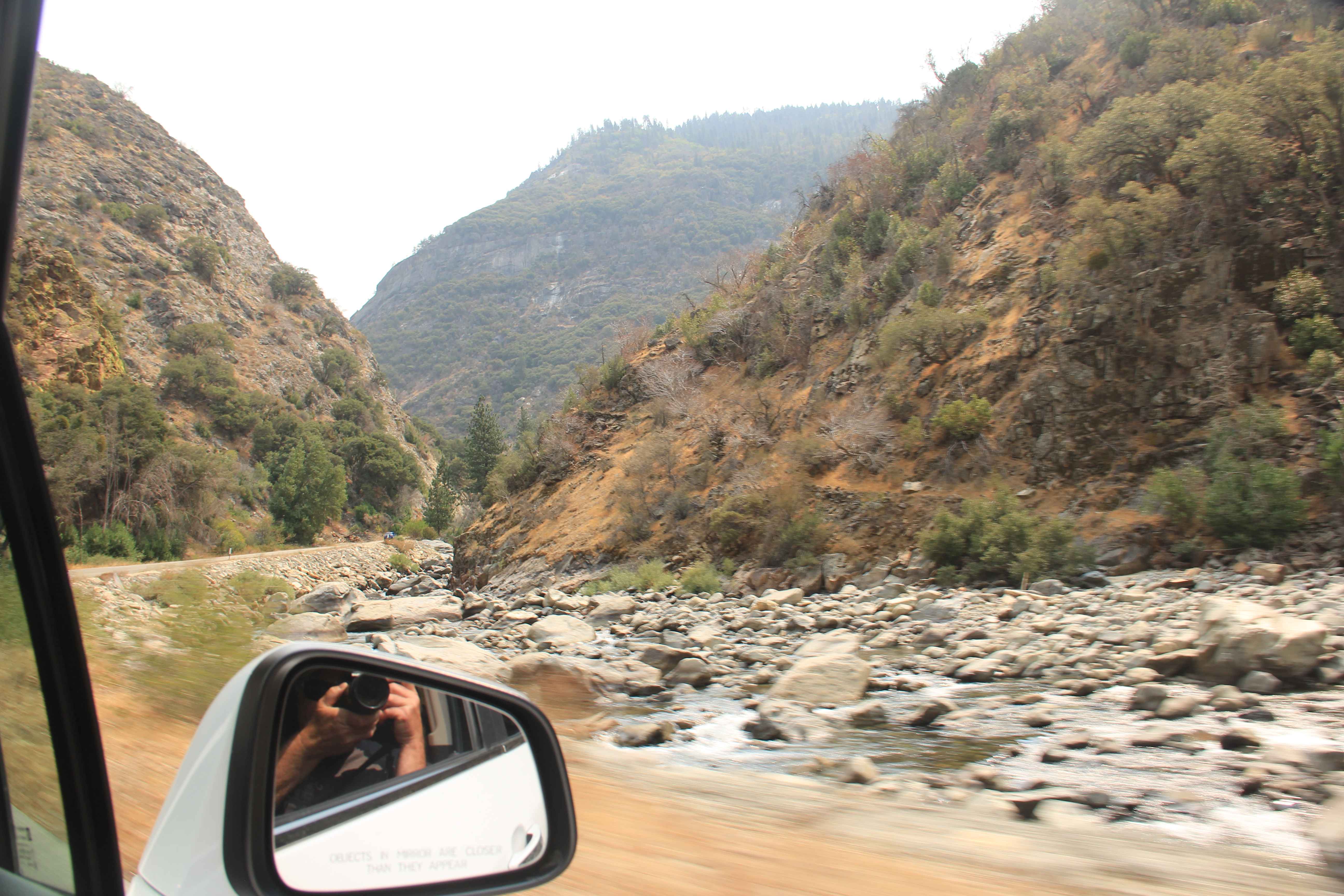
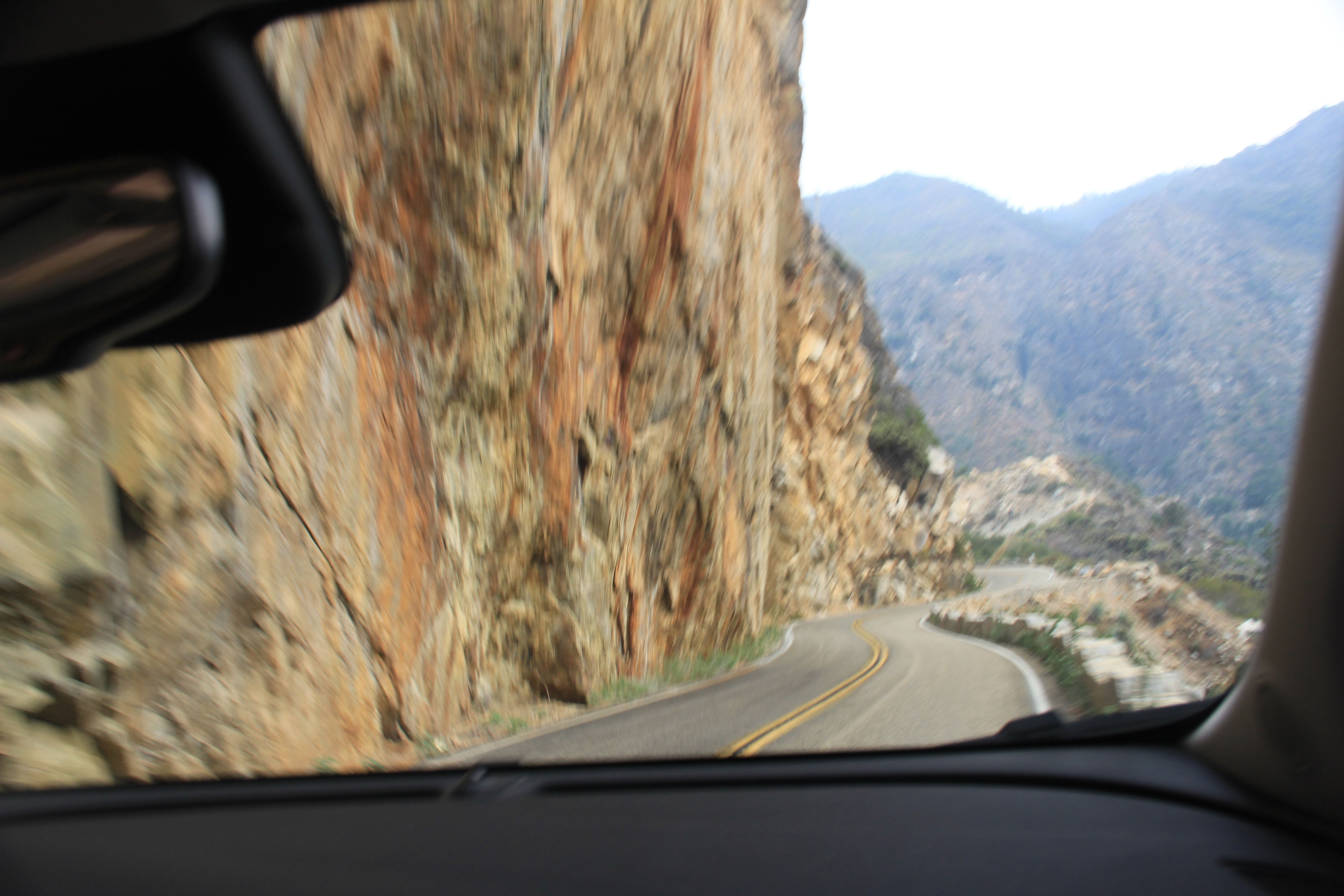
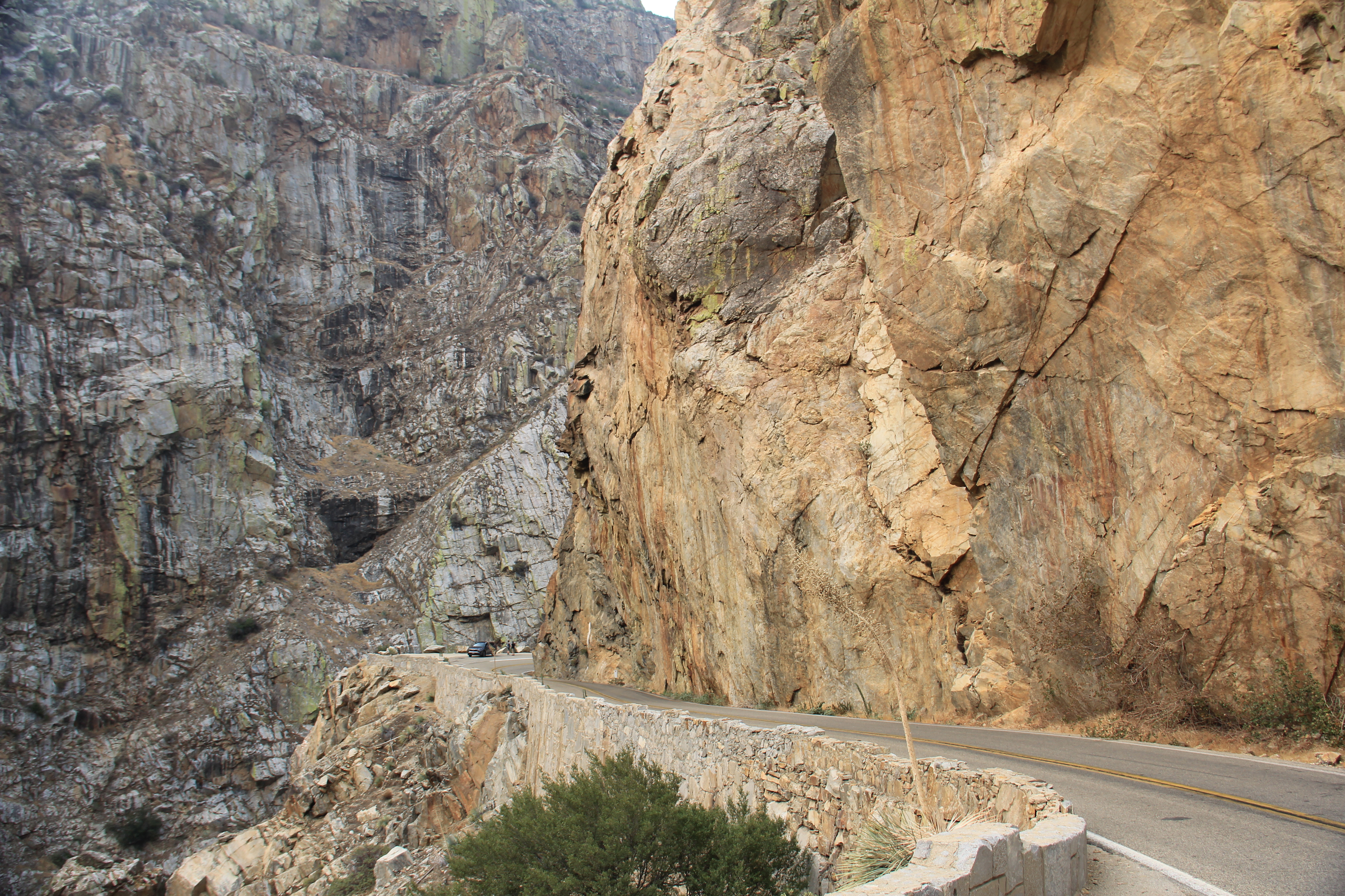
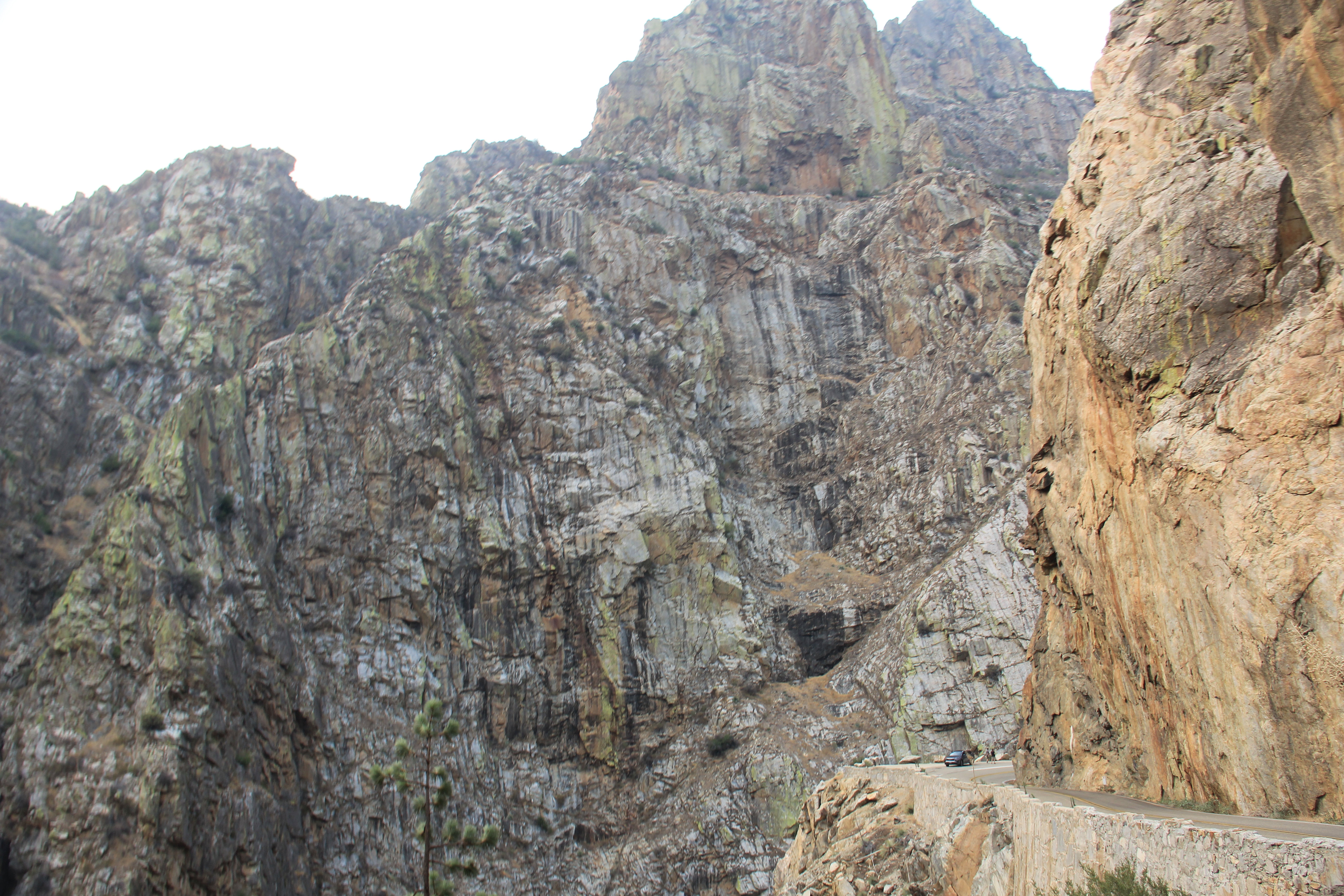
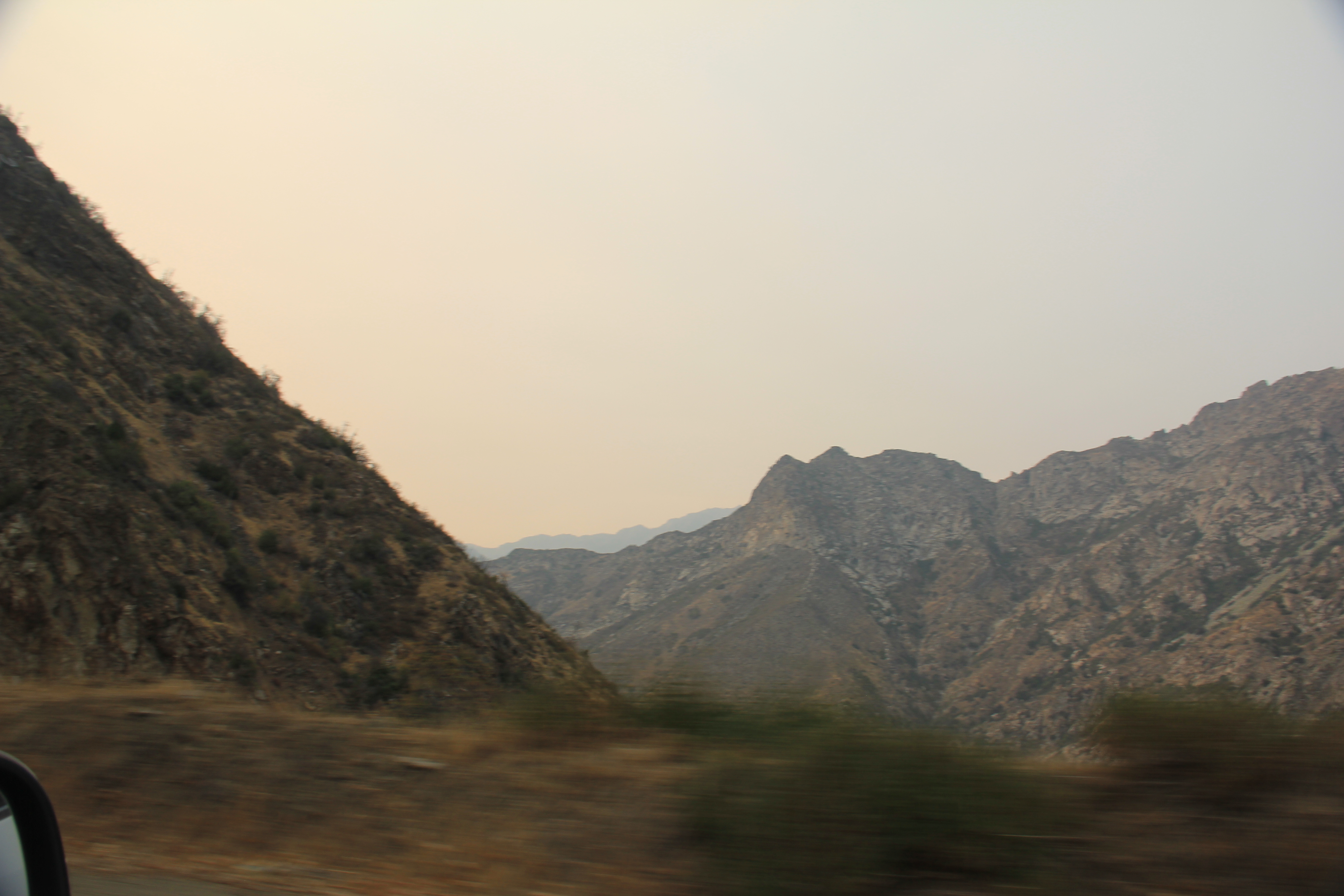
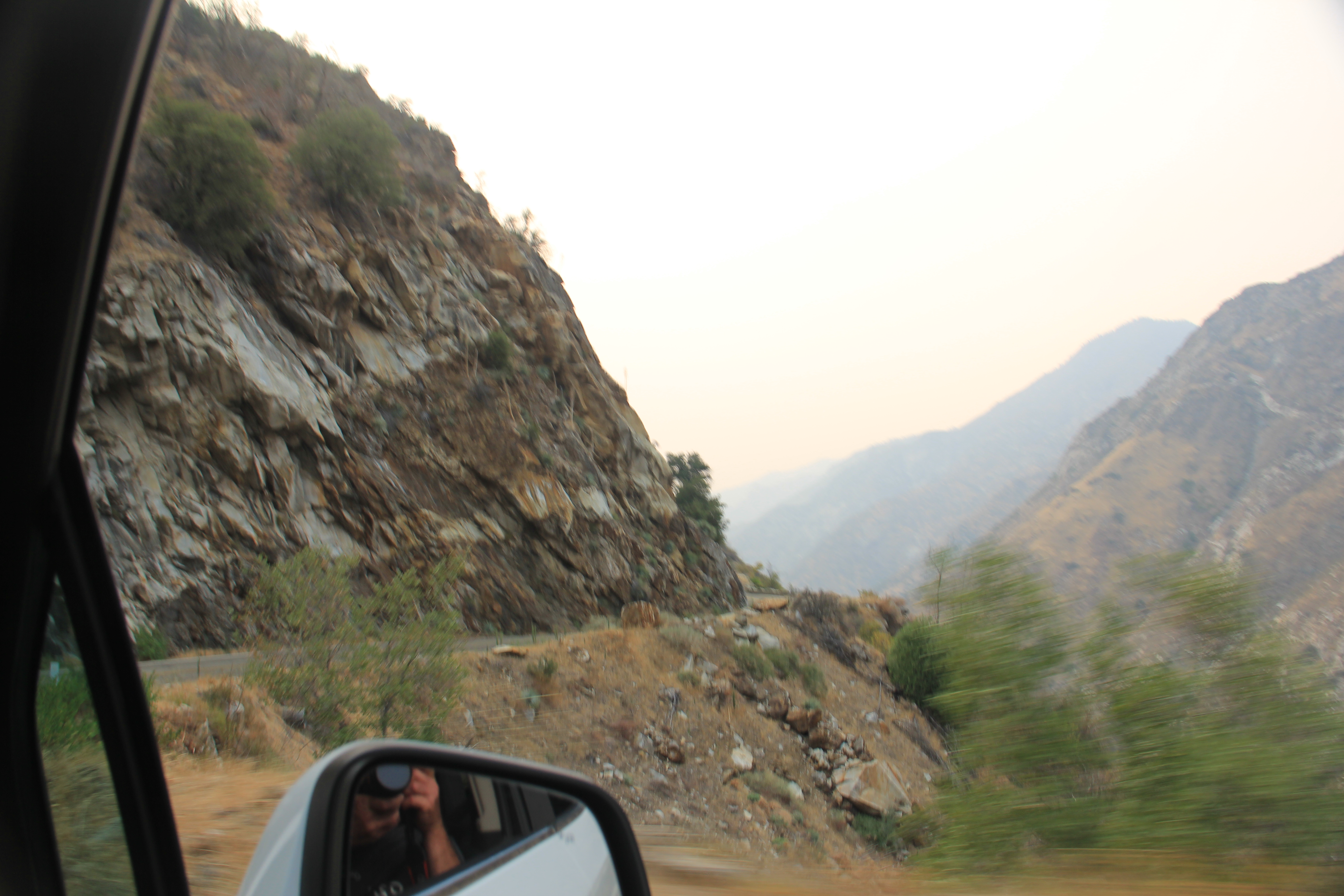
A long travel day. The flight from Chicago to LA was about 4 hours then 45 minutes from plane to the car rental place, then we waited in line to get our rental car for about an hour...arg (Dollar/Thrifty btw). Then a 200 mile drive to Three Rivers just outside Sequoia NP. Even on a Sunday afternoon we got stuck in traffic on the 405. Just outside of LA we saw a small wild fire (a sign of more to come) and along the way we passed miles and miles and miles of orchards and vineyards. Everything else was bone dry so they all had to be irrigated. It was interesting to see all the wind machines spaced throughout the crops. They looked like two blade windmills. I learned that the are motor driven and used during temperature inversions drawing warmer air from above the crops down to the ground to avoid temperature sensitive crops from getting too cold. Fun fact..,
A few pictures on the road
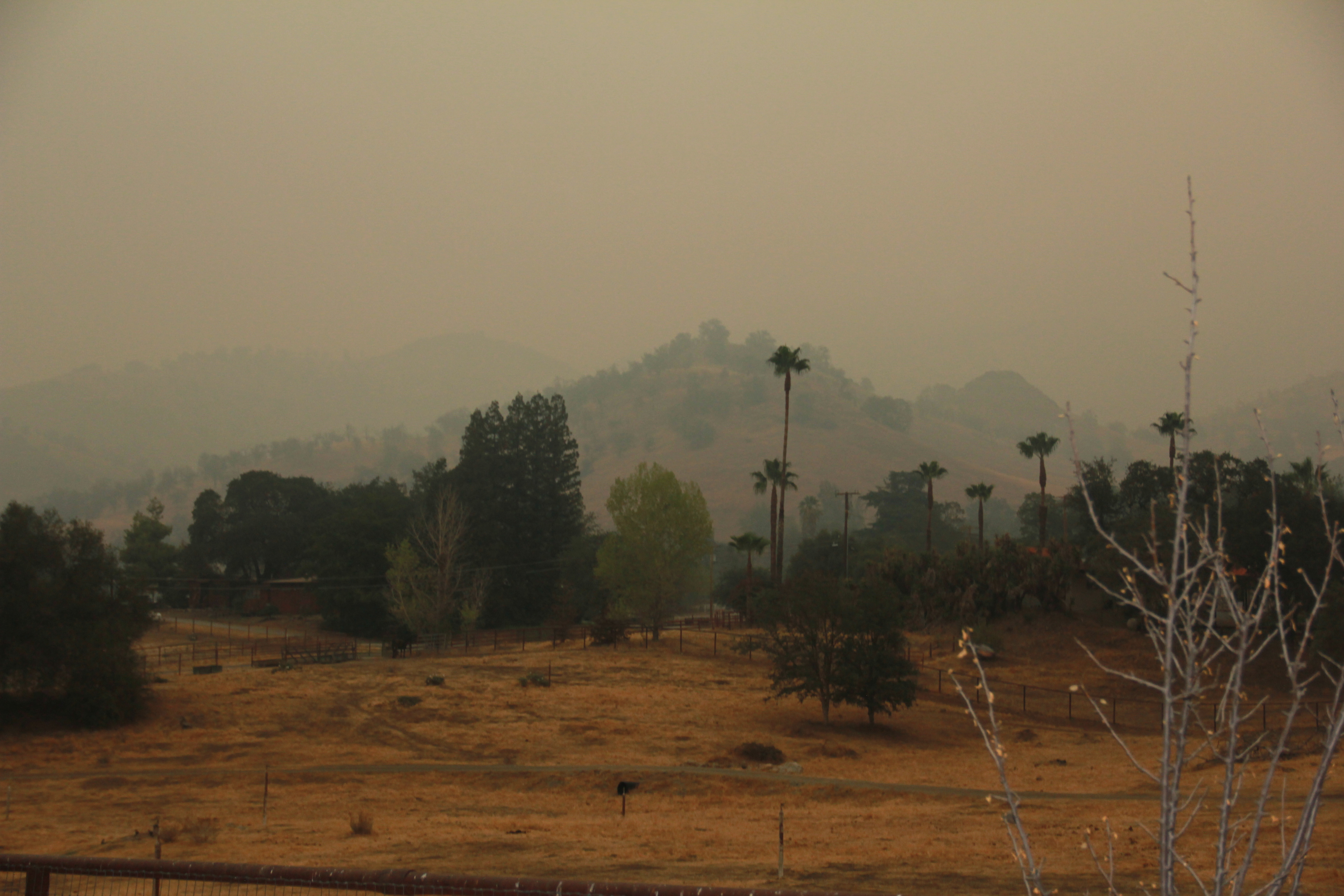
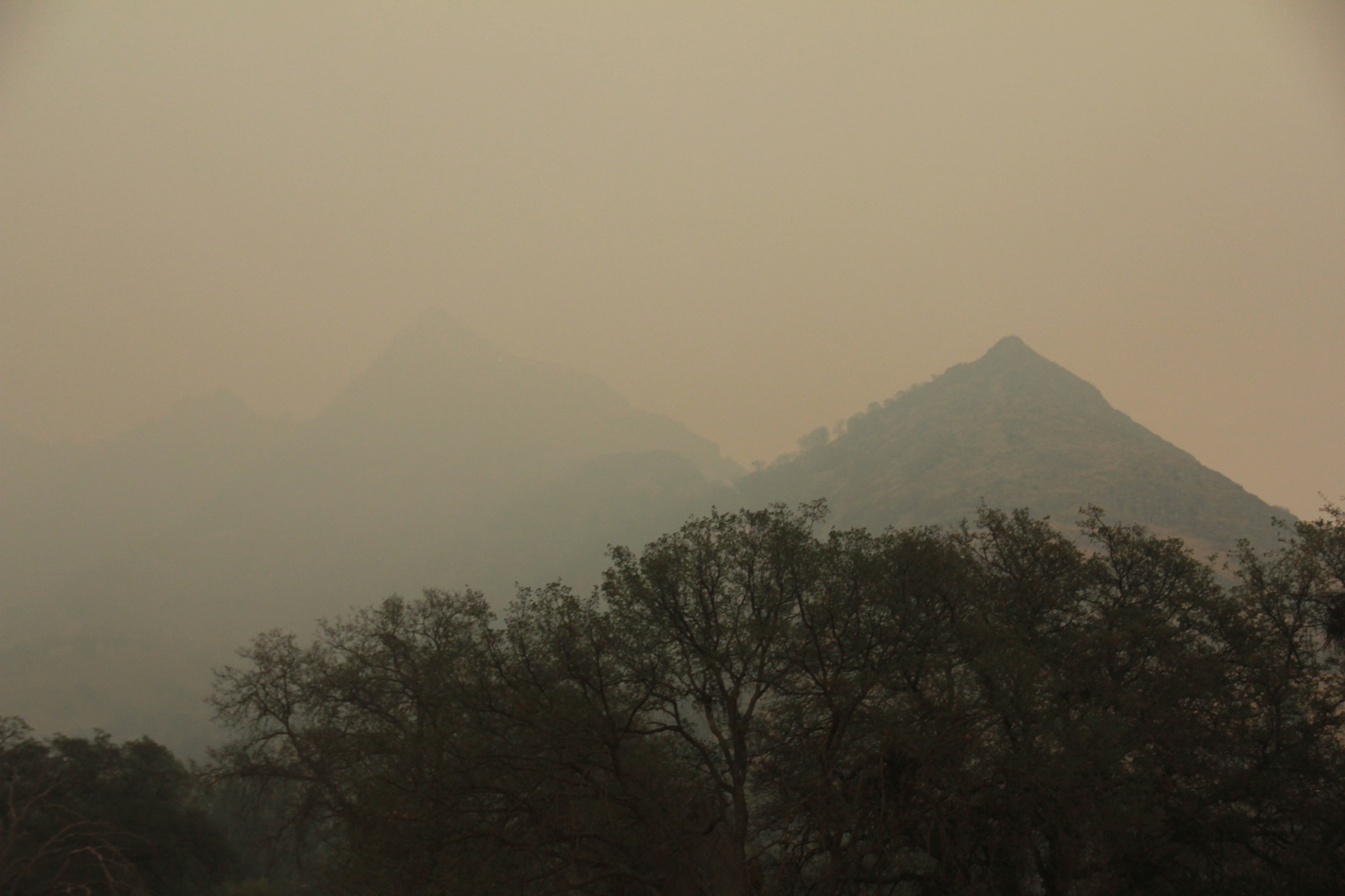
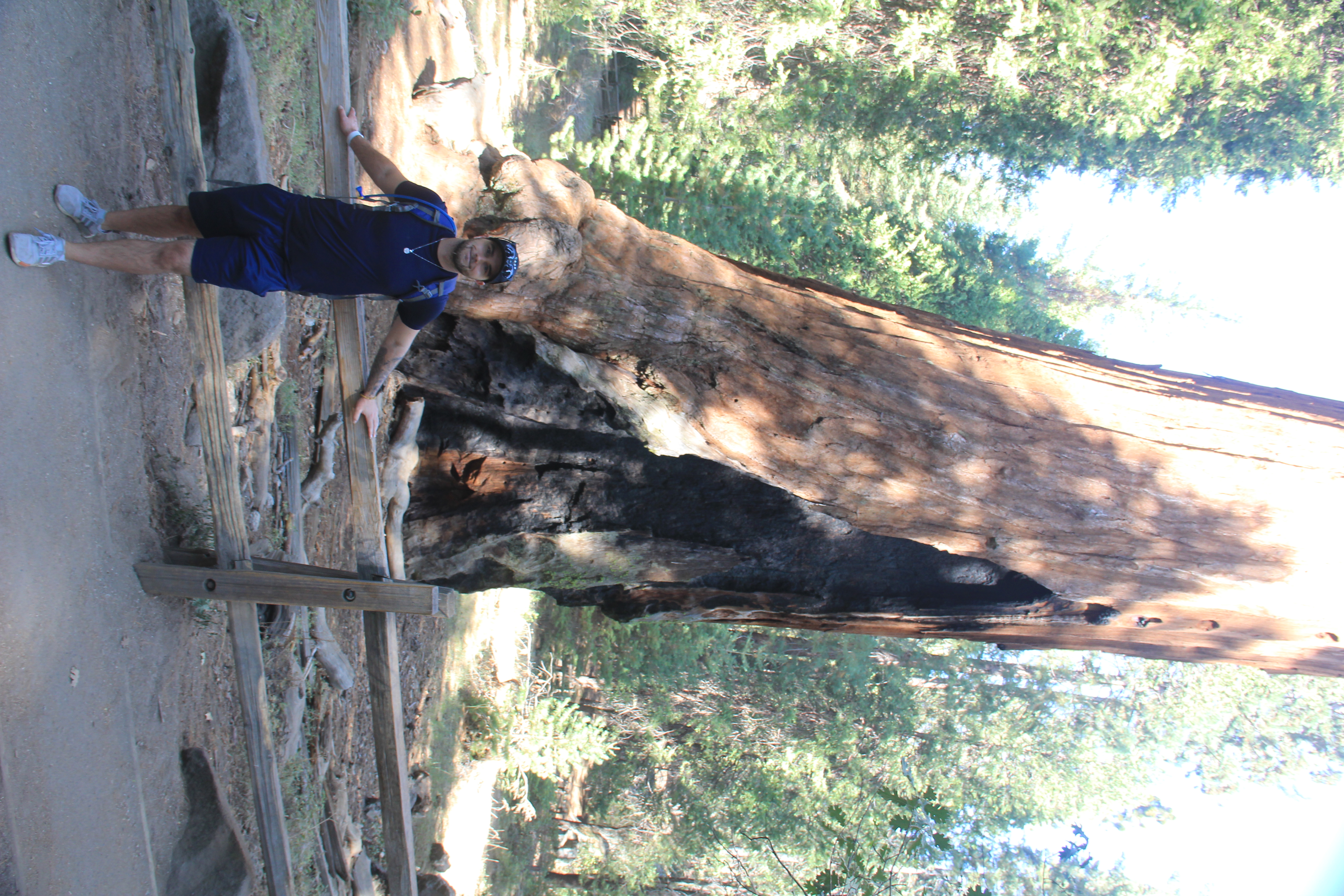
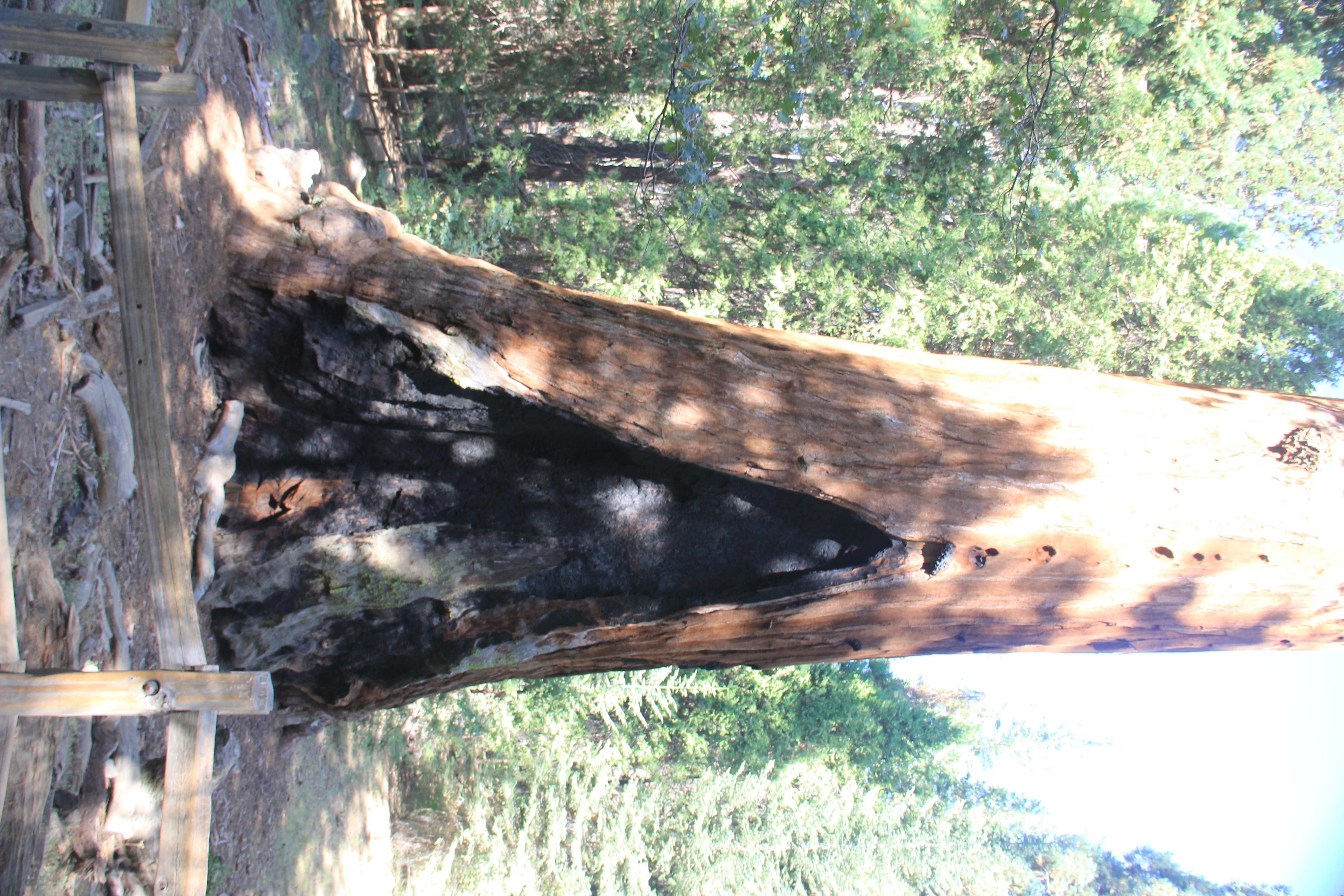
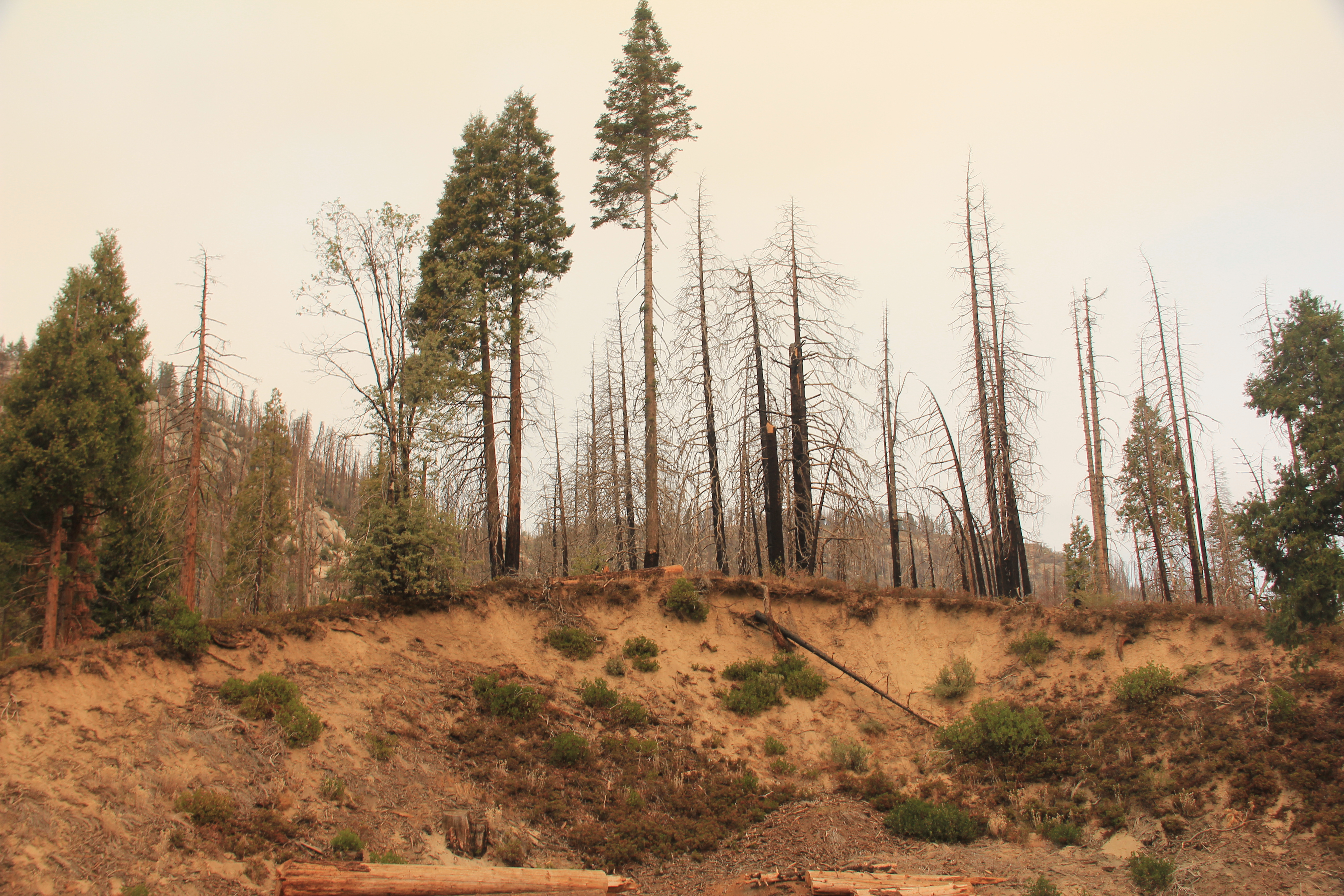
TERRIBLE NEWS FOR THE SEQUOIA GROVES. On Sep 9th a lightning storm ignited several fires in Sequoia National Park. When we arrived in Three Rivers (15 minutes outside the park) we learned that the entire park was closed. Last year wild fires in Sequoia and Kings Canyon killed up to 10,000 giant sequoia trees. Now, another terrible fire this year burning up more of these huge old trees. The largest tree in the world (by volume) is the General Sherman Tree in Sequoia NP. It's Diameter: 36 ft, Height: 275 ft, Volume of trunk: 52,500 cu ft and is estimated to be 2200 years old. The oldest Sequoia is estimated at 3,266 years. As of this writing on Sep 25th the fires are still burning, and both Sequoia and Kings Canyon parks are closed and three rivers is evacuated. Who knows how many of these old amazing trees will be destroyed in this fire.
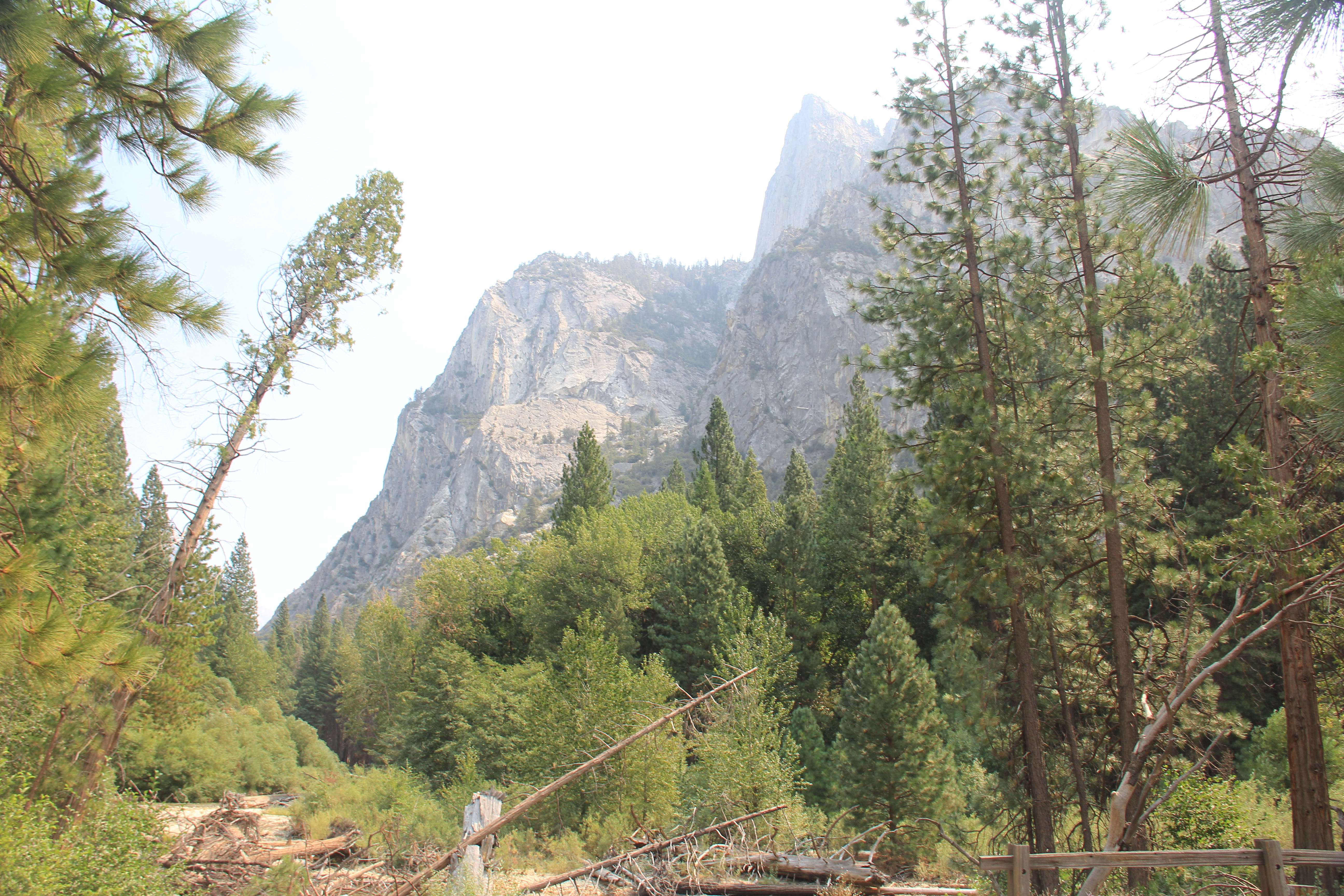
As our plan was to hike in Sequoia for two days, we tried to get out of our 2nd night at the airbnb in Three Rivers but the assinine owner said he doesn't give refunds for the "weather". I said the town is under fire evacuation warning. He lied and said it wasn't. Fortunately, Kings Canyon was still open but, it is a 1:30 minute drive to the park entrance. Without any other options we decided 2 days in Kings Canyon and then drive ~200 miles to Pinnacles National Park to the West for two days and then spend one day in LA. Not a bad plan C.
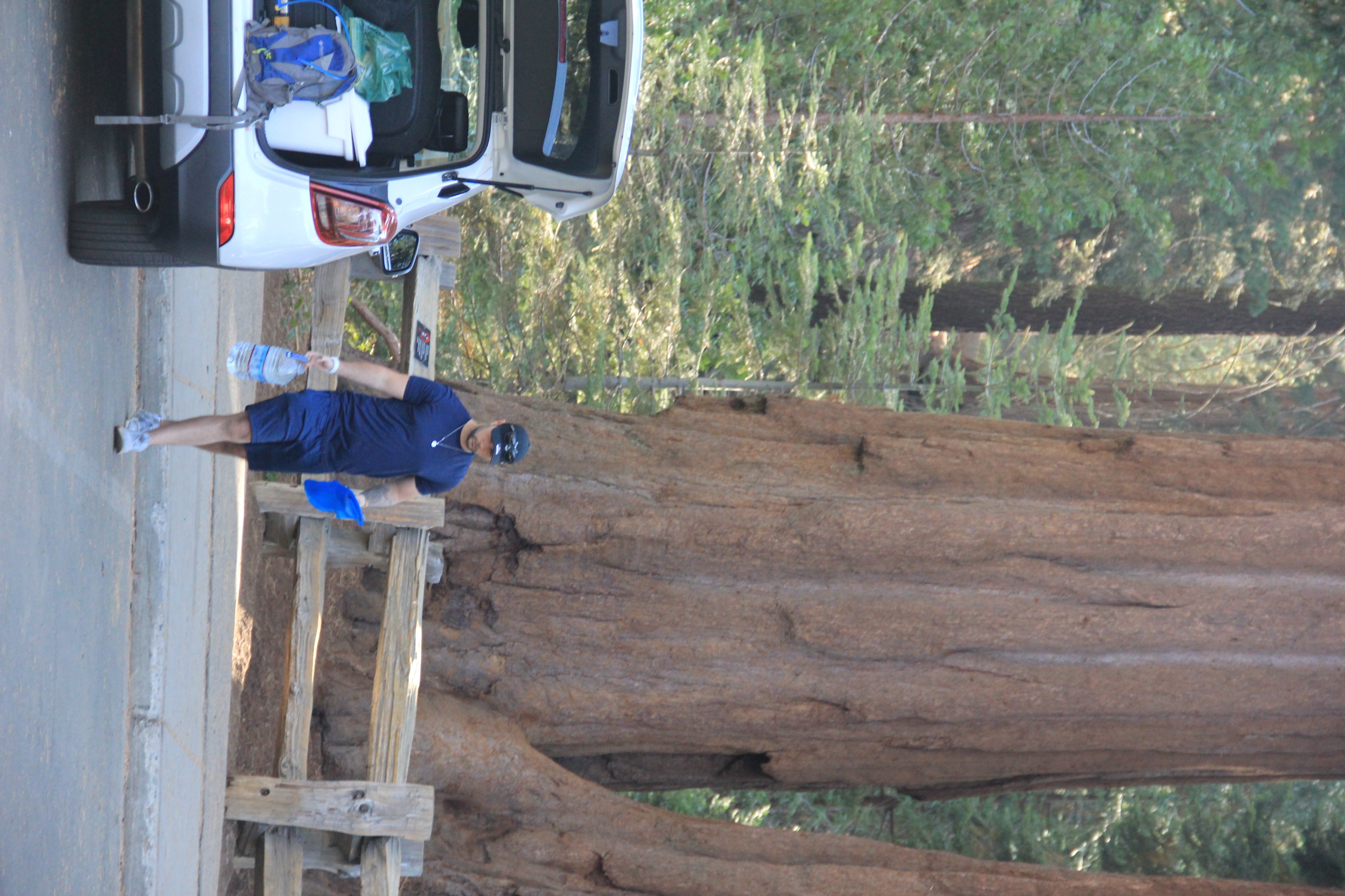
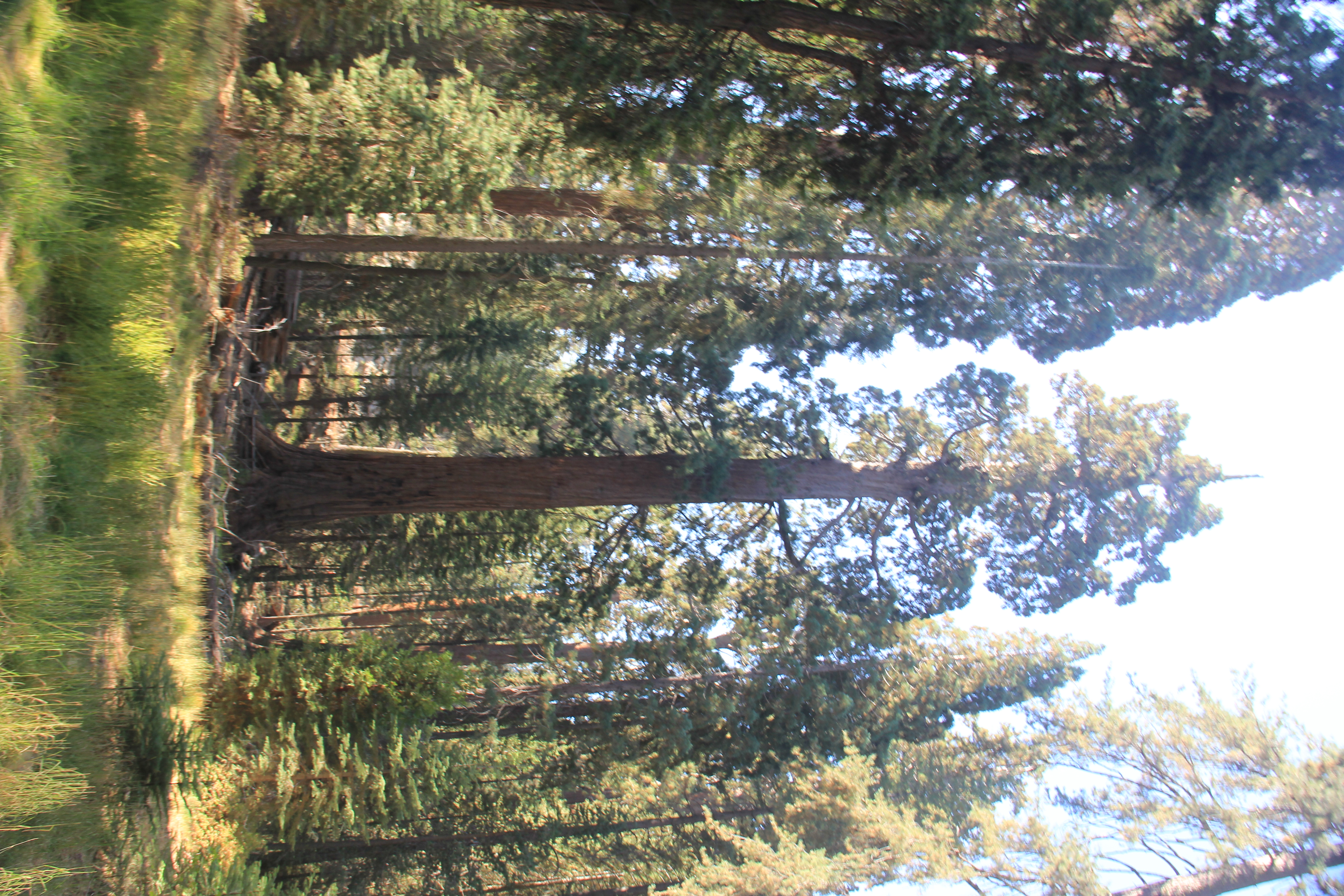
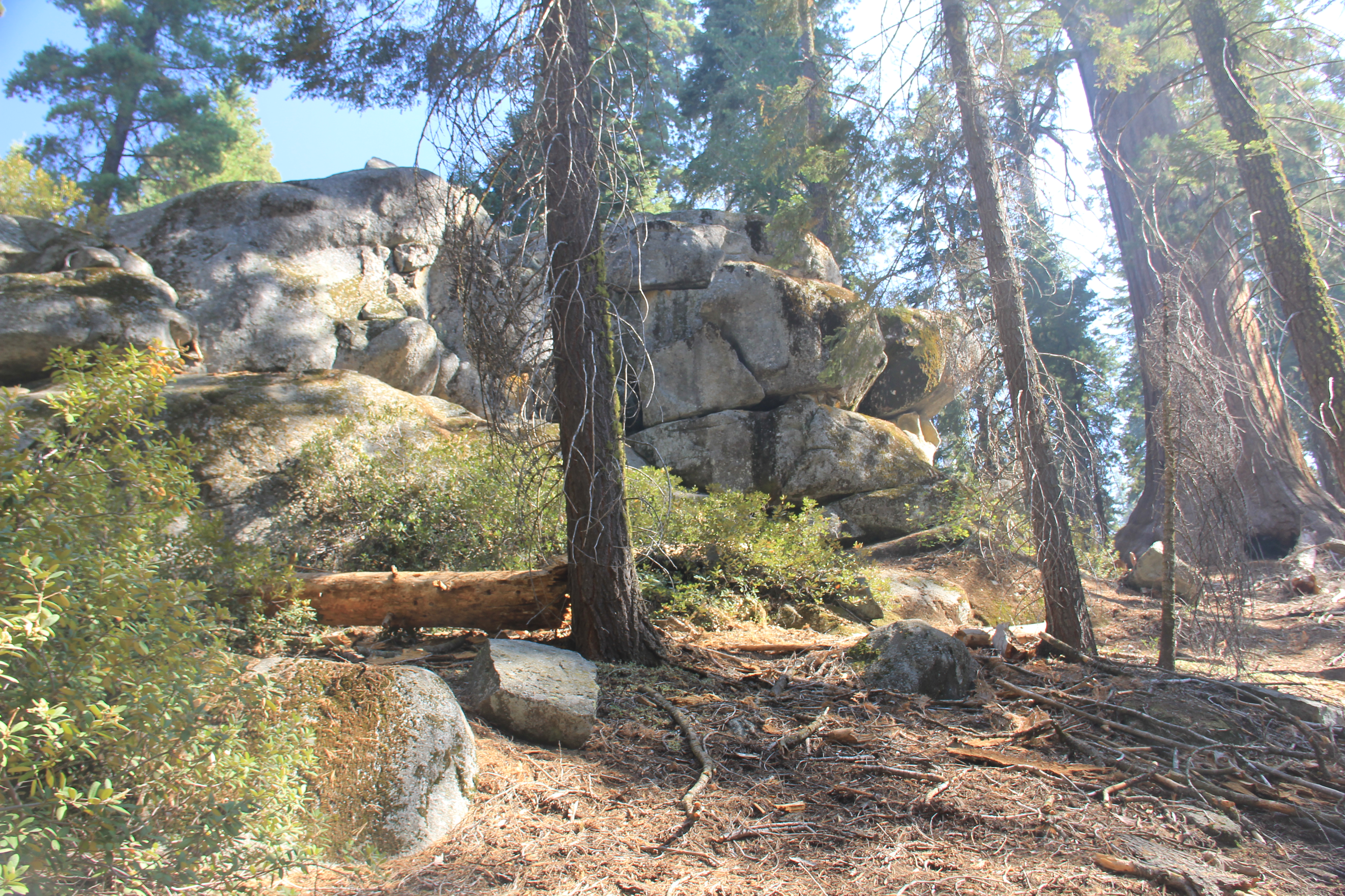
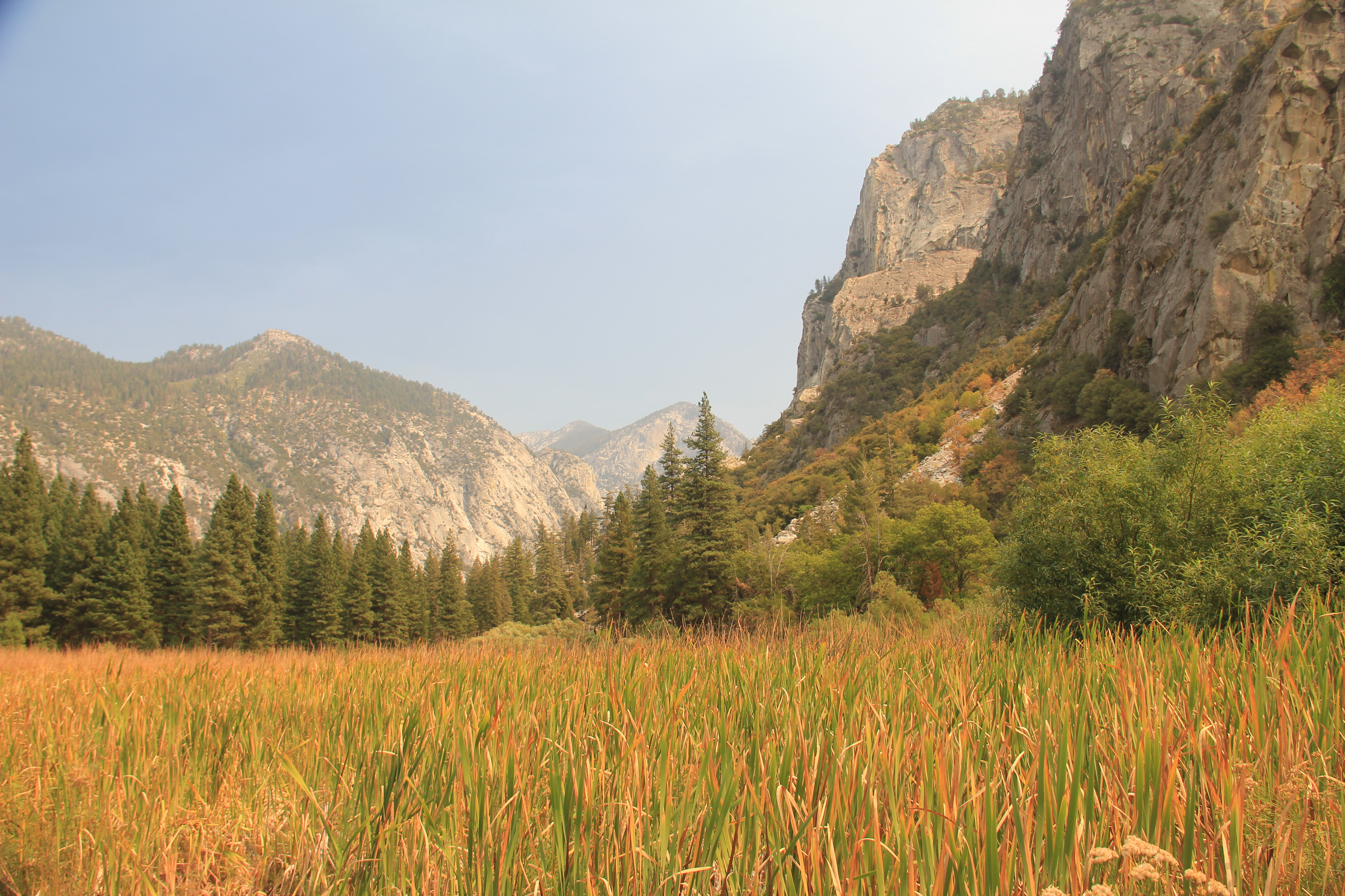
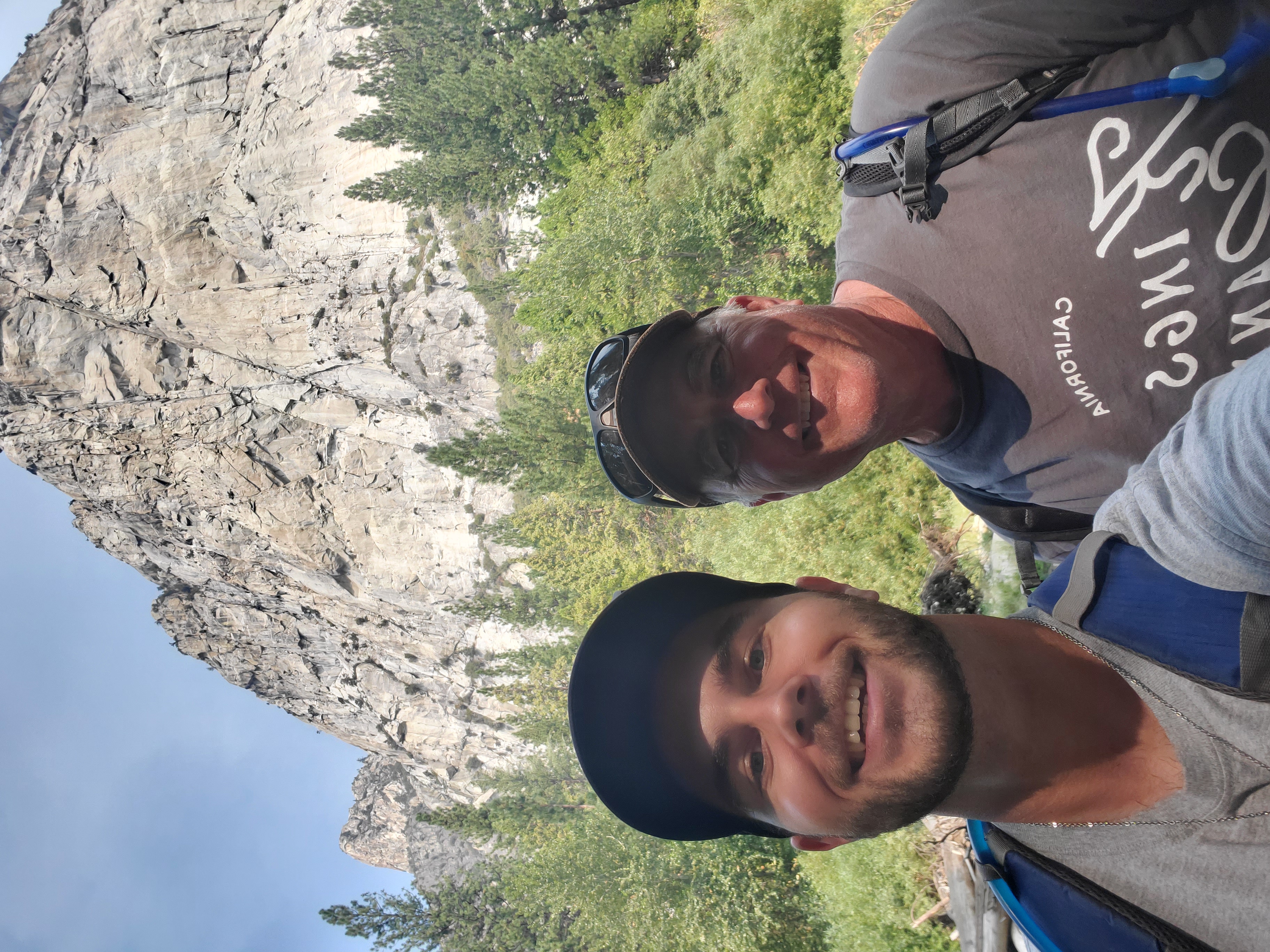
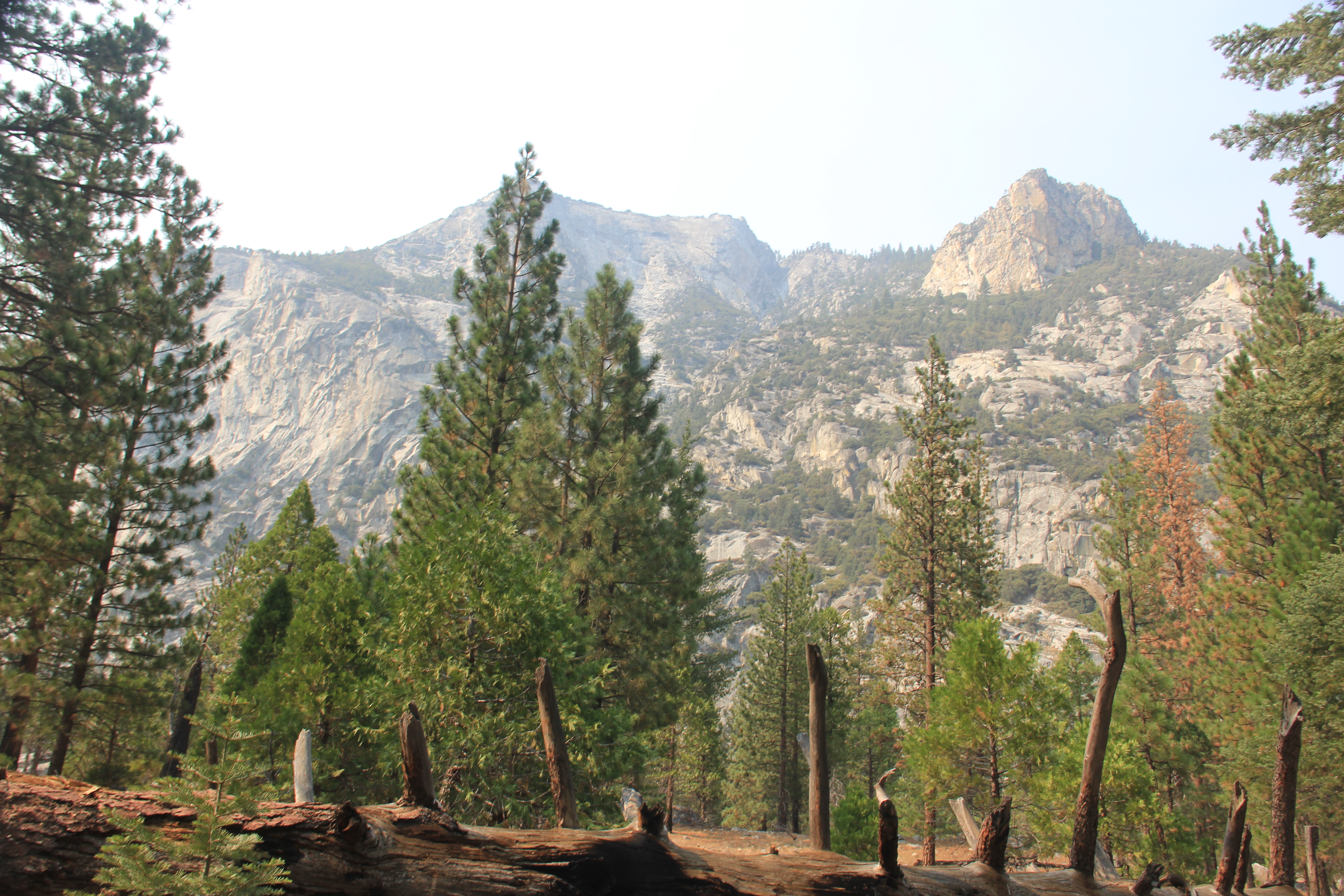
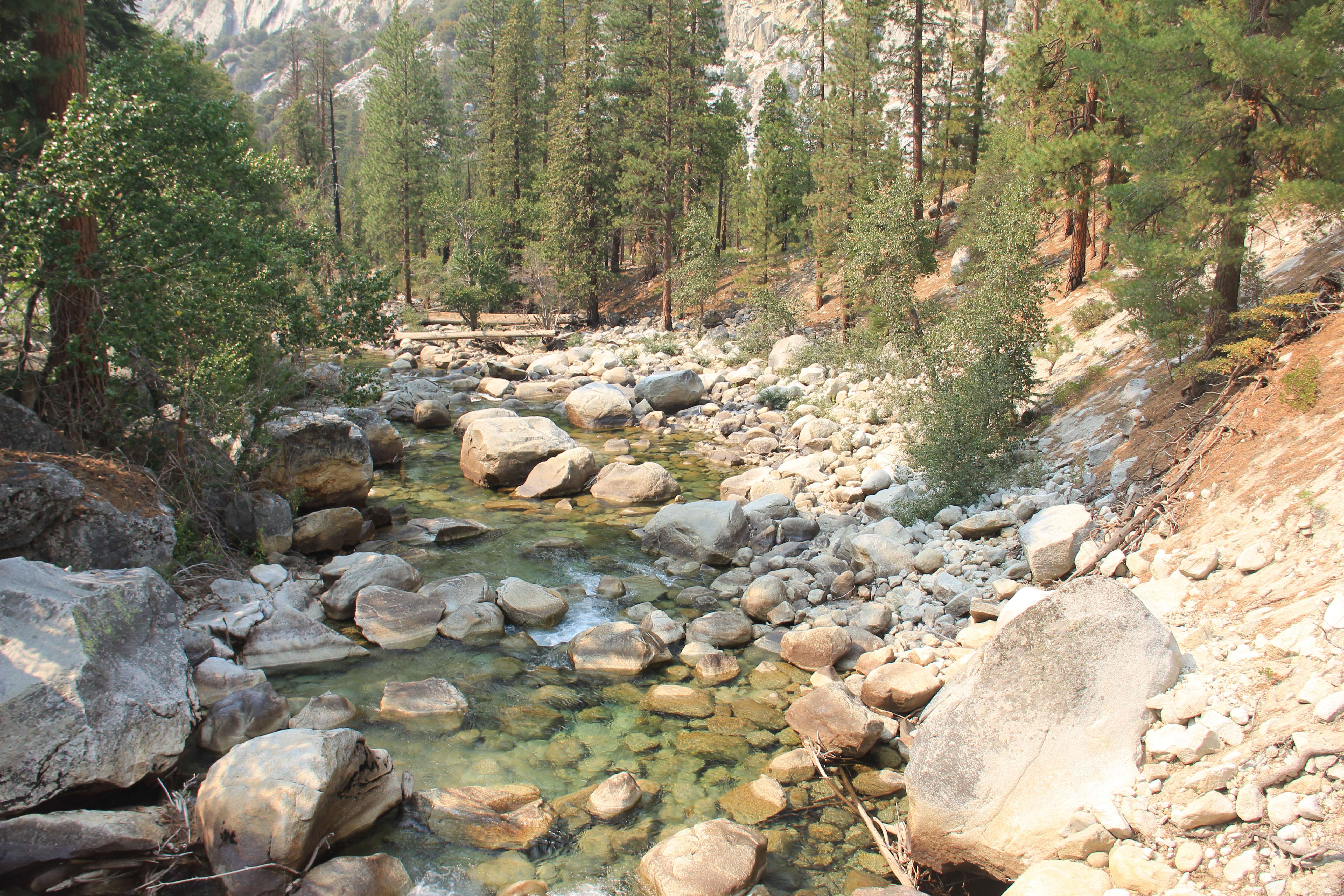
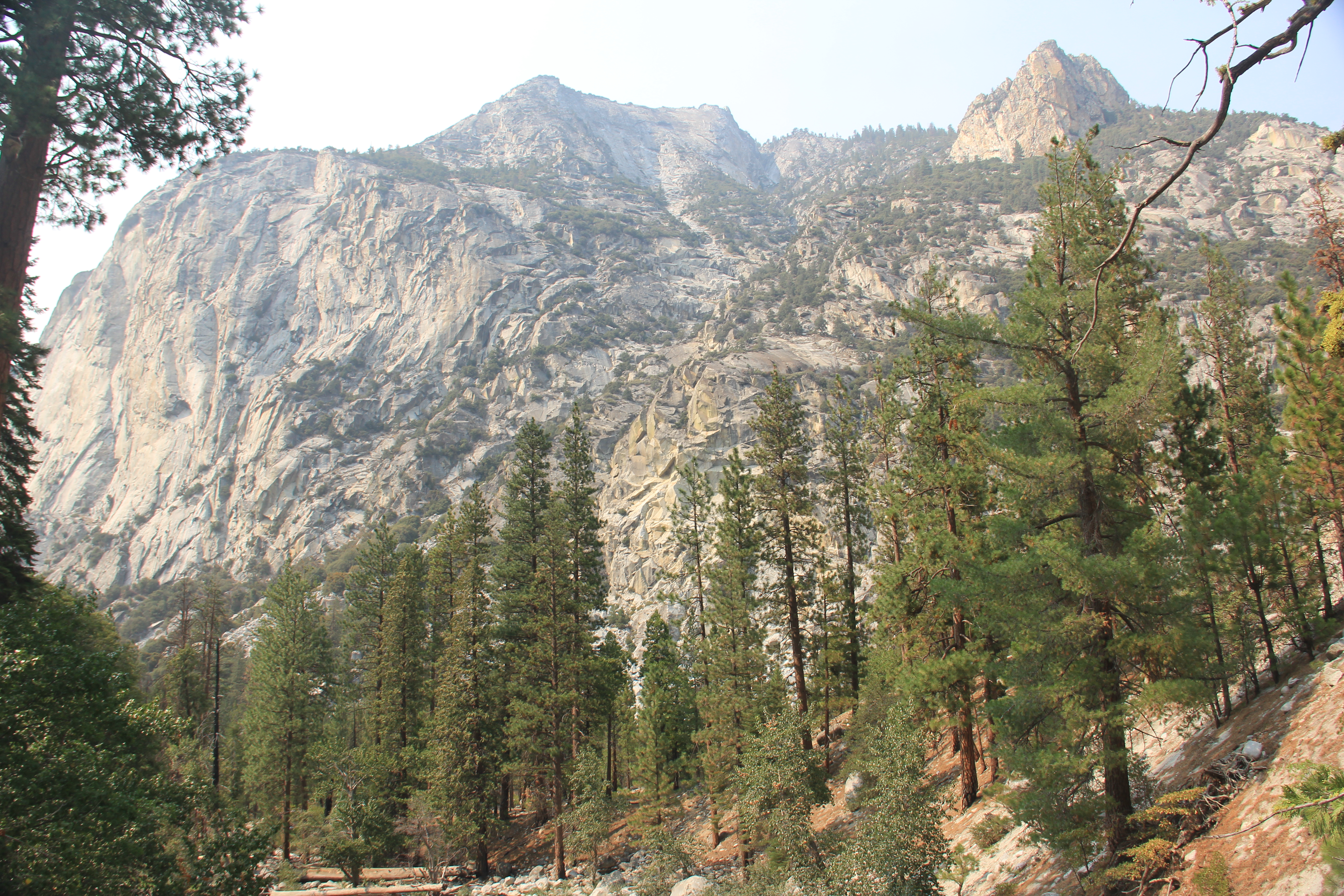
A couple of sad pictures from our Airbnb looking into Sequoia NP
Monday, Sep 13th
Weather: In the valley it will get into the mid 90s but, up at elevation (6500ft) in King's Canyon, it was a beautiful mid 70s, clear (the smoke blocked views but was not in the park) and a nice breeze. Perfect.
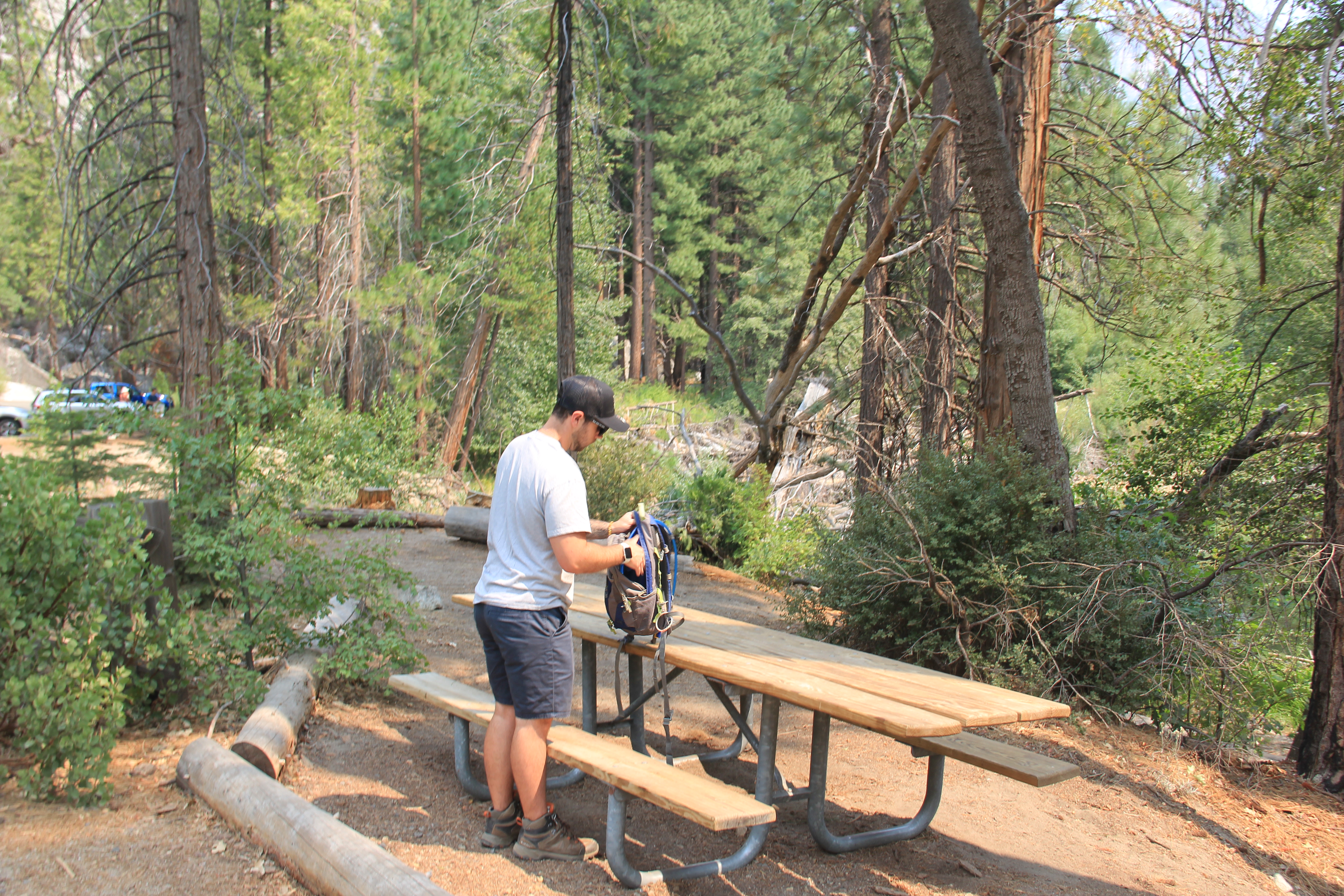
Due to the fire evacuation warning in Three Rivers we decided to pack everything up just in case we did not come back. The drive from three rivers (only 15 minutes outside of Sequoia NP) was an 1:30 to Kings Canyon Visitor center on the West end of the park. Lot's of elevation change (500' - 7000') and lots of hairpin turns!
Kings Canyon National Park
The park has two major areas to hike. On the West end (the parks entrance) there are the Grant Grove Trails. The other area of the park is about an hour drive on a scenic highway through the Sequoia National Forest and back into Kings Canyon's East Area where the Cedar Grove Trails are. You drop back down from 7000' to near sea level into the canyon and the Kings River. (Now I know why the park is Kings Canyon NP!).
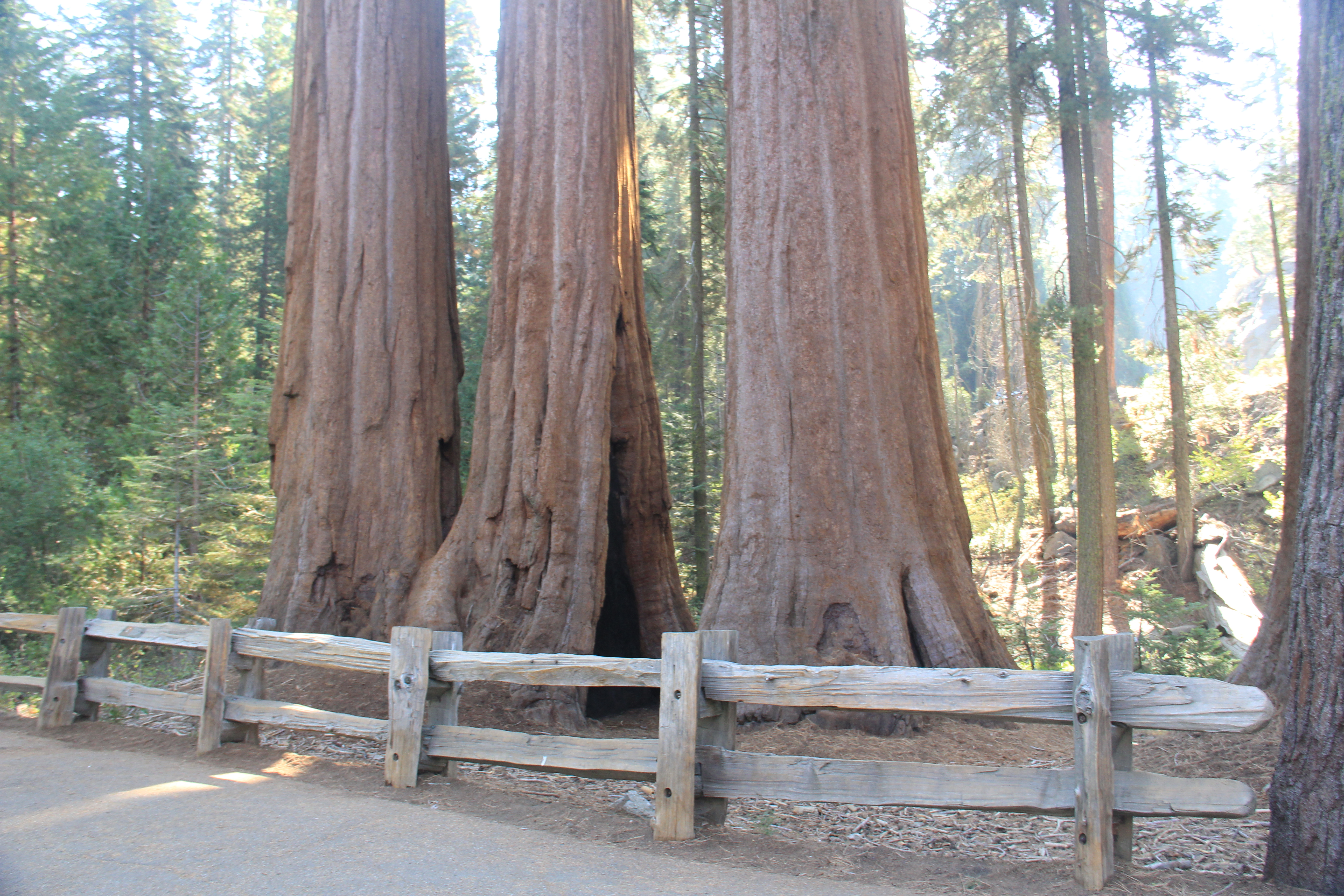
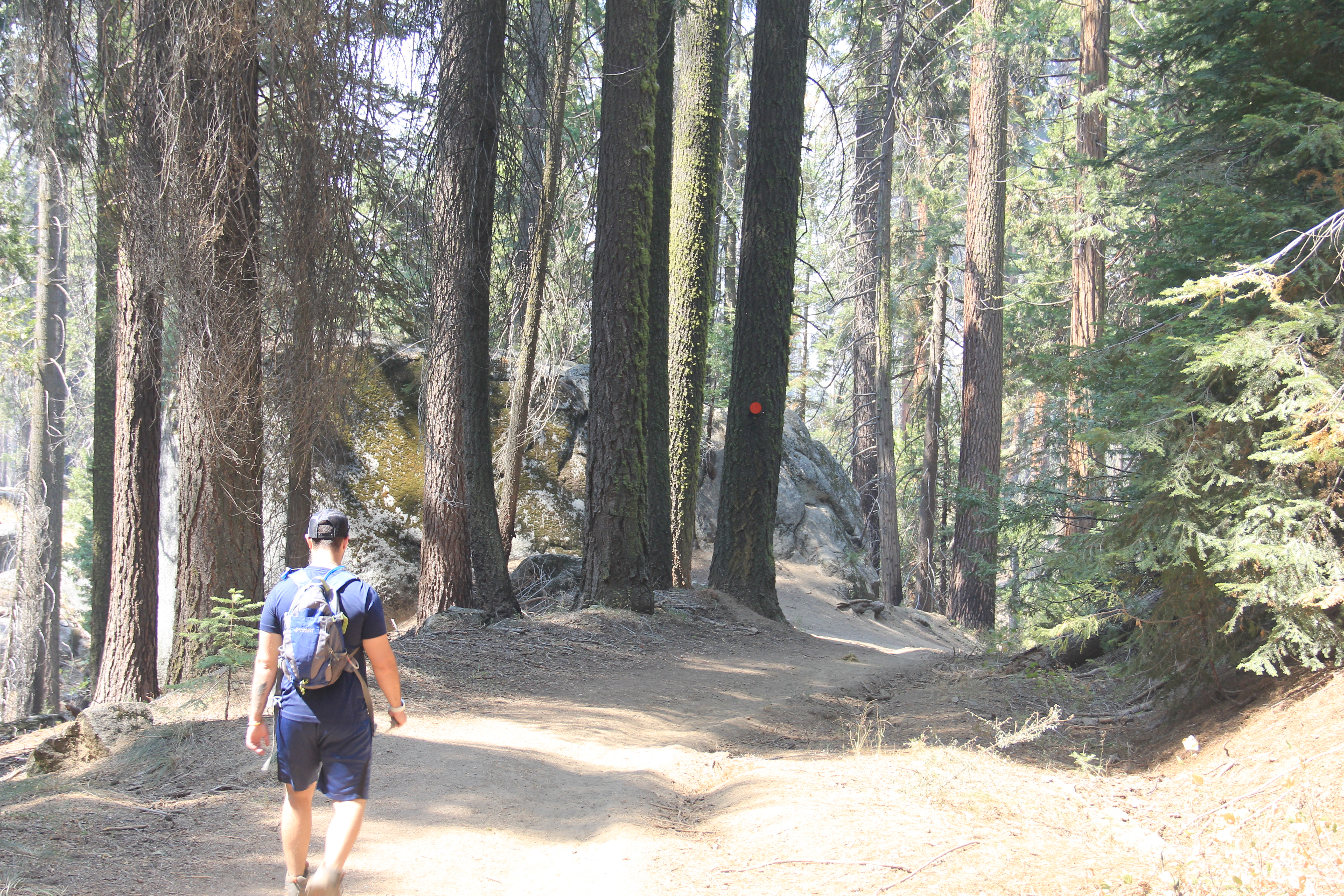
Grant Grove Hiking Area
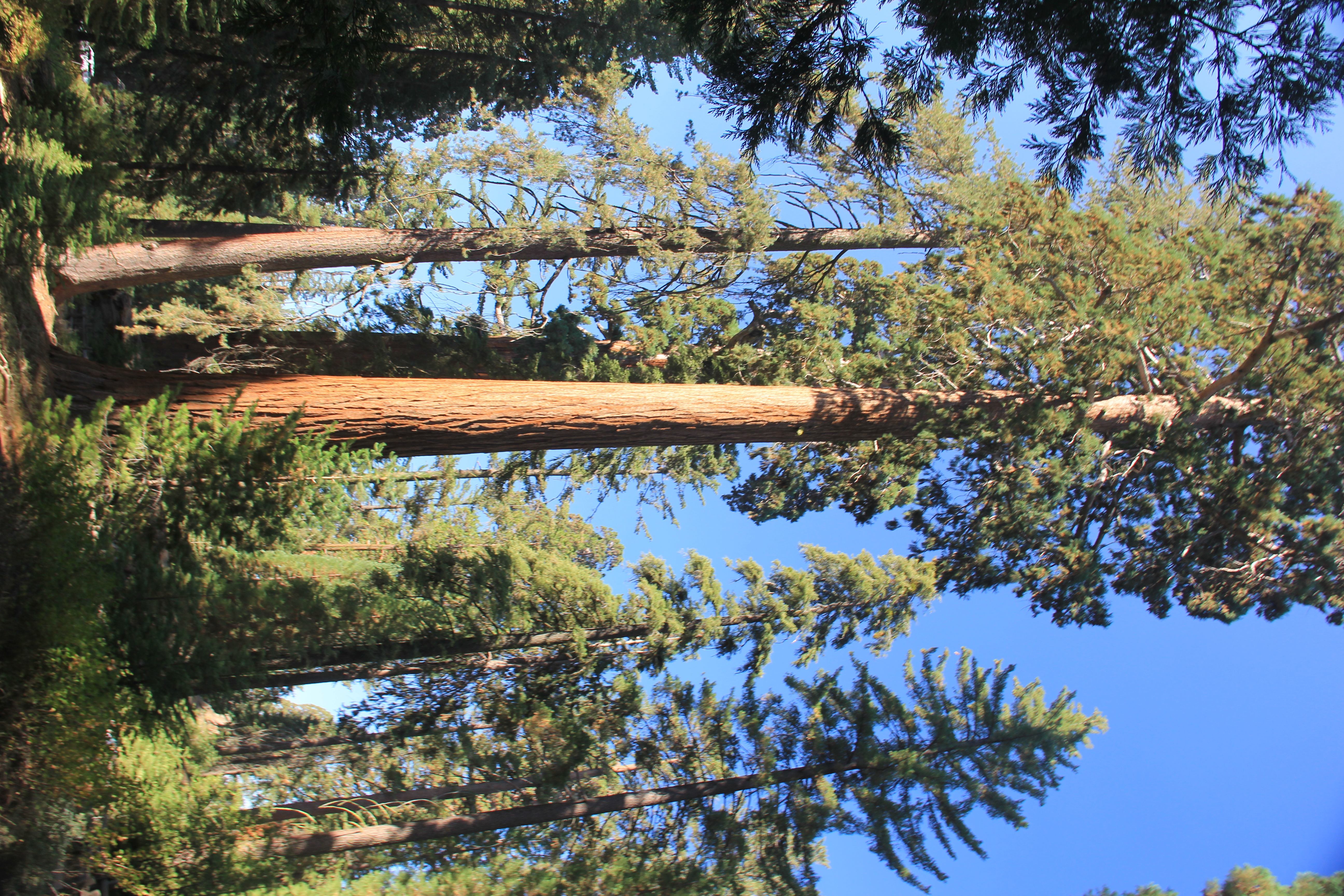
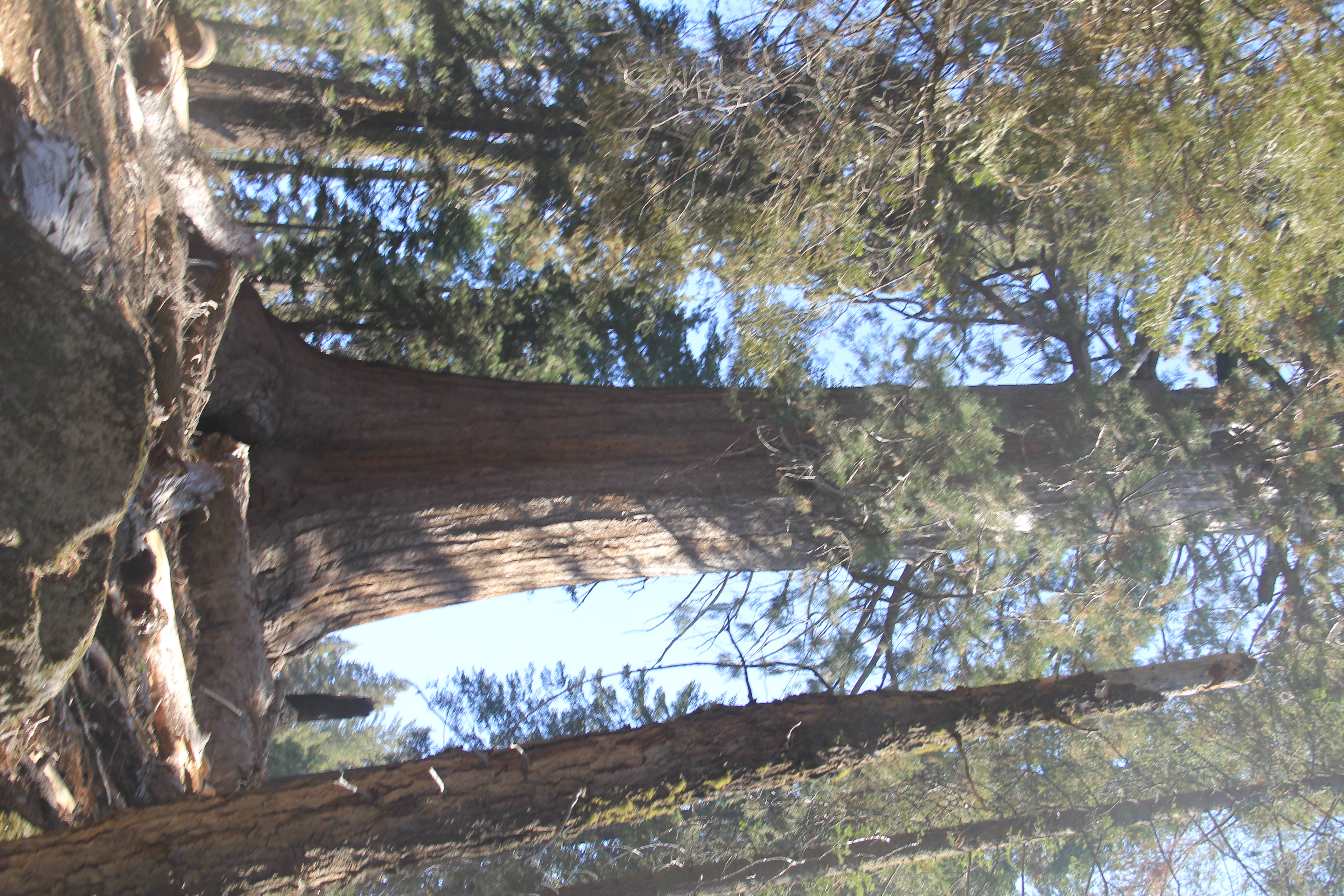
These trees are amazing! We did about 7 miles of hikes in the Grant Grove section of the NP today.
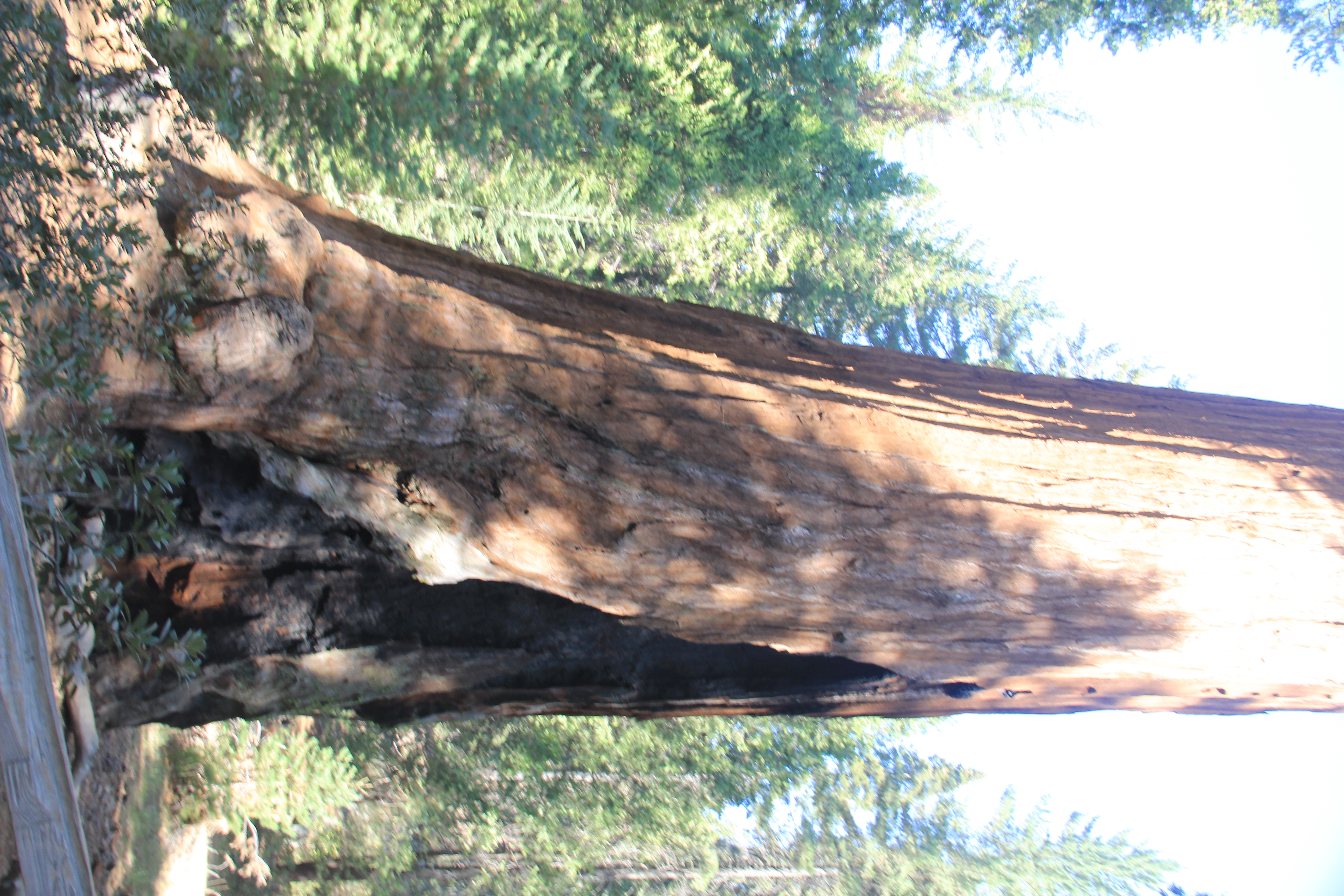
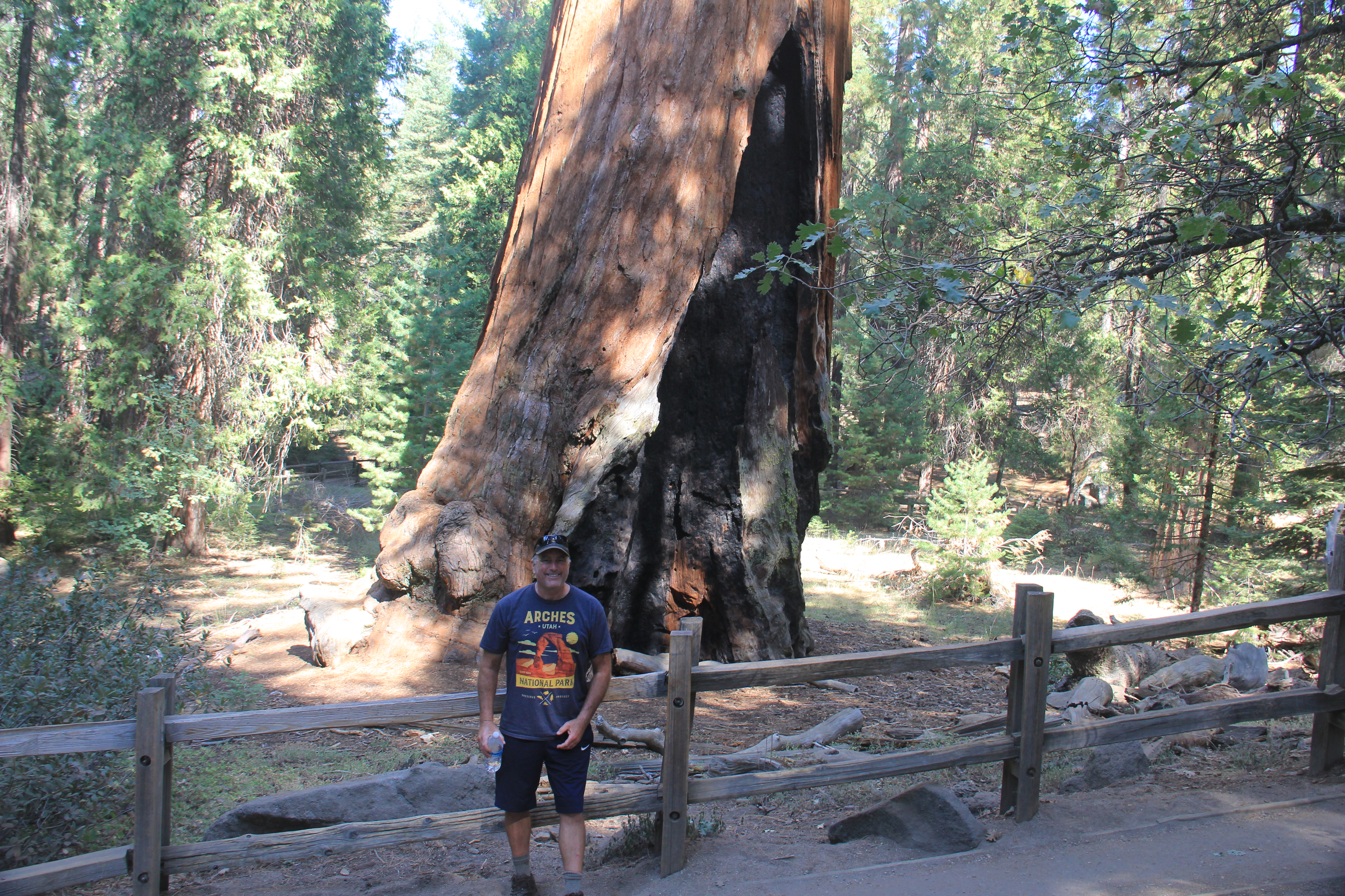
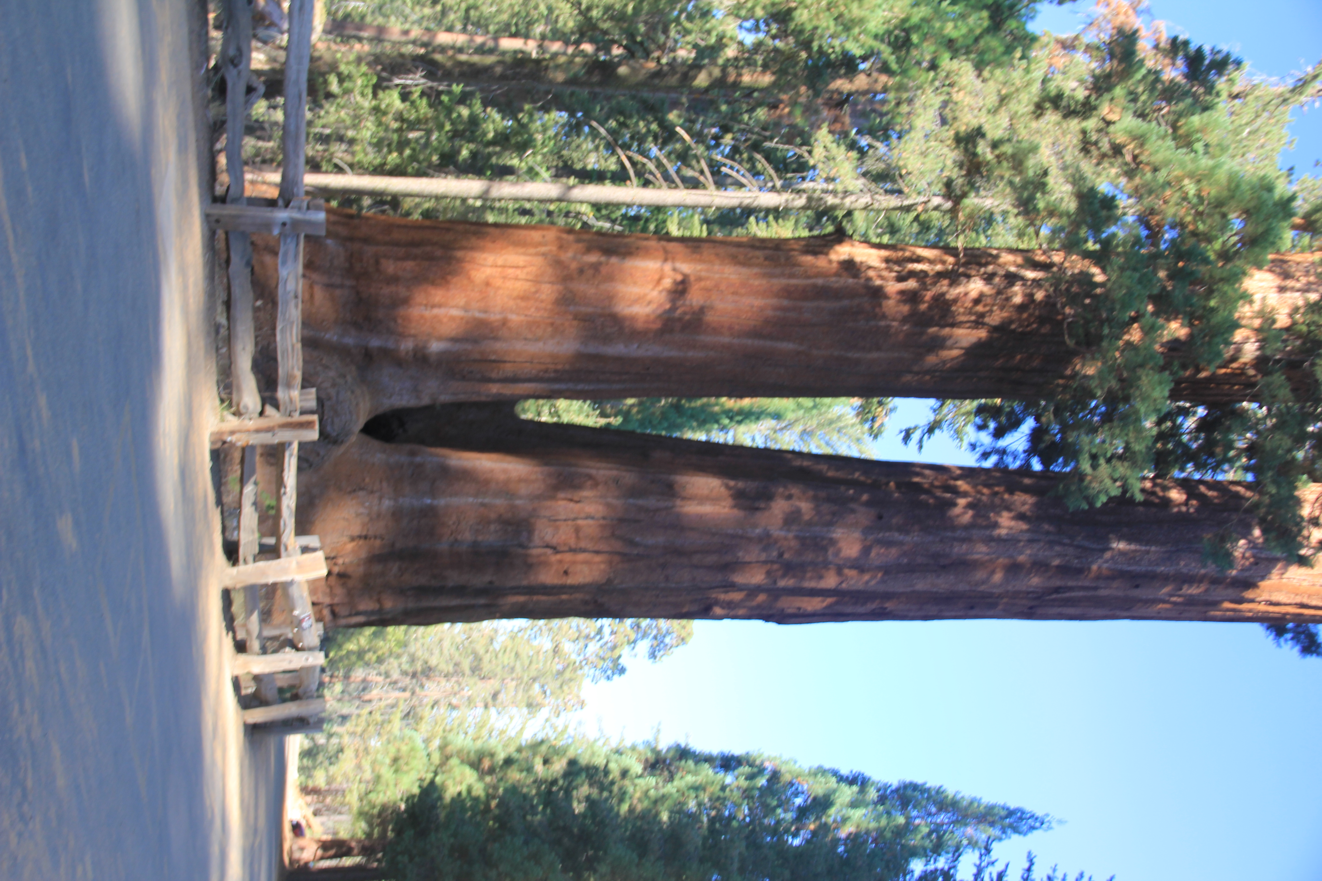
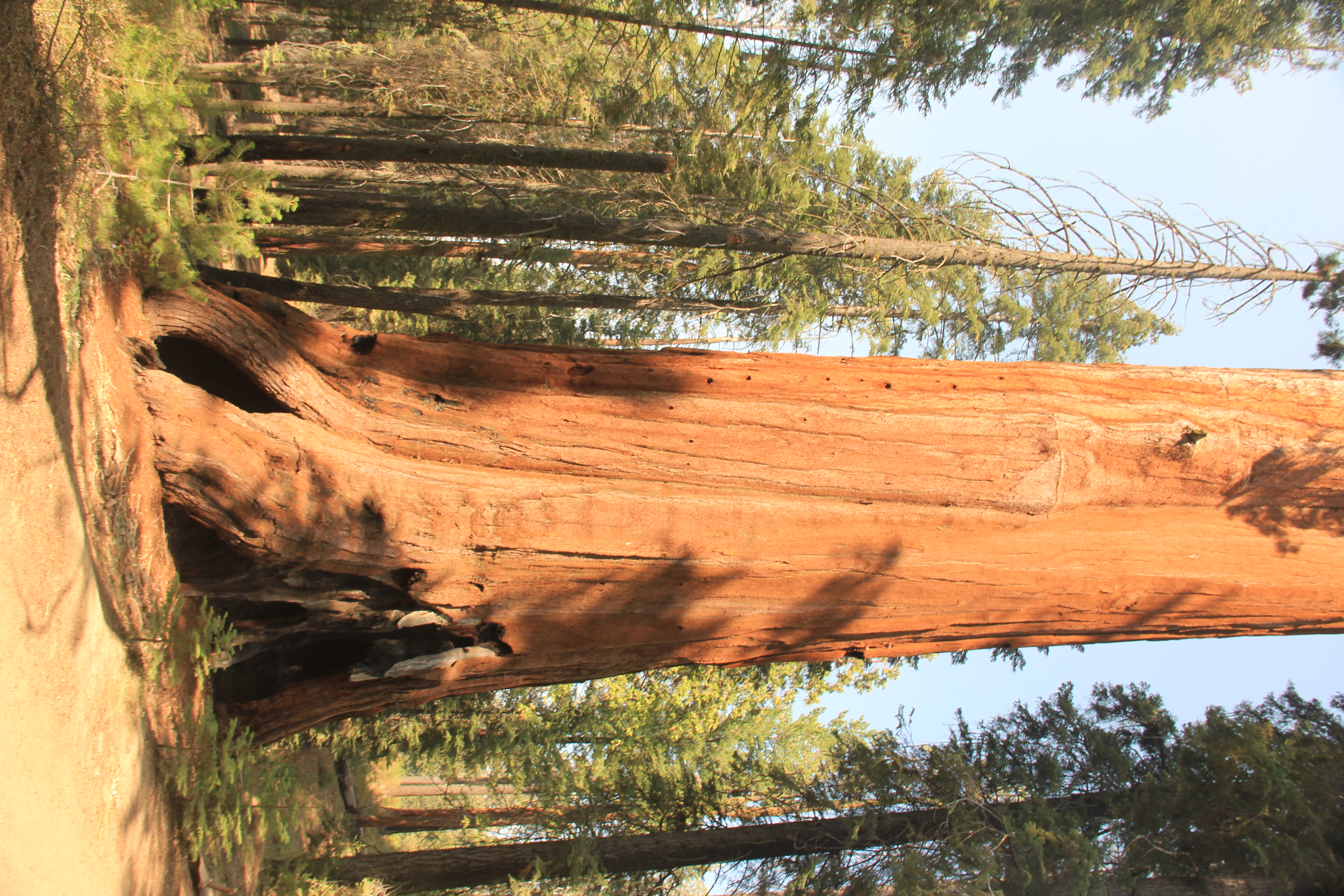
General Grant Tree with Fire Scar


Grant Tree Trail, Boundary Trail and North Grove Trails
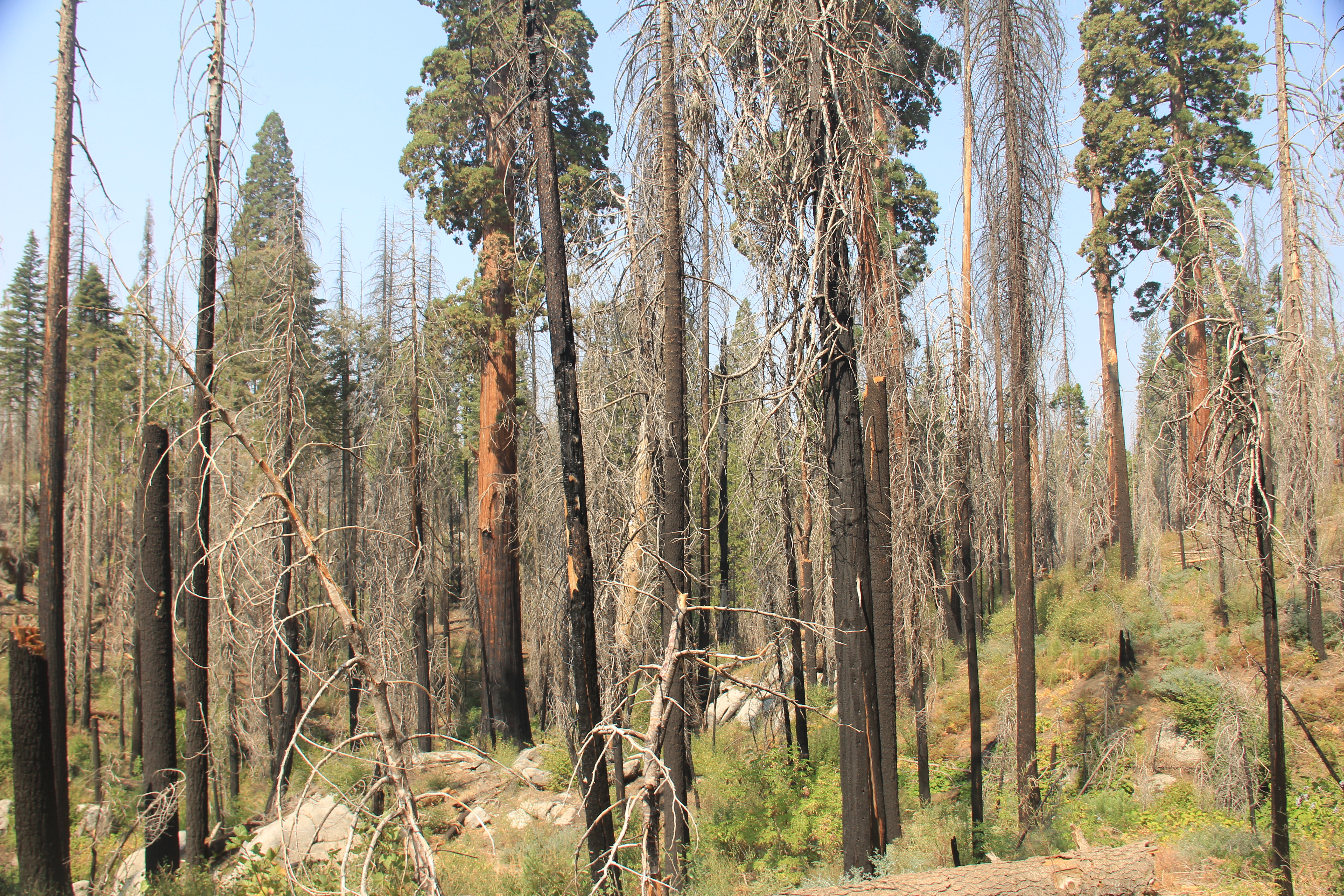
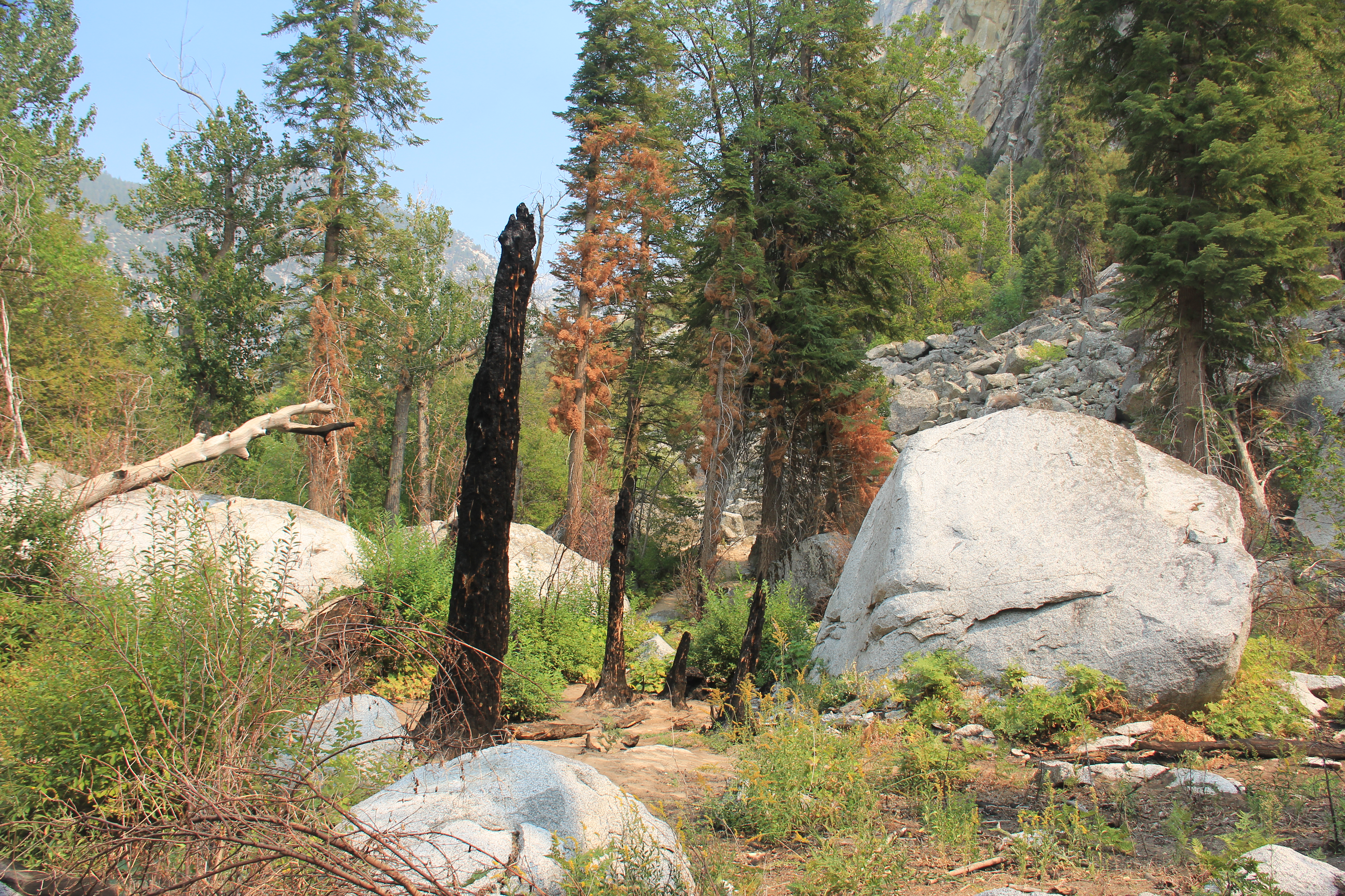
The trees in the grove are spectacular and inspring. But, you can see a lot of fire damage in some of the pictures from previous years of wild fires in the area.


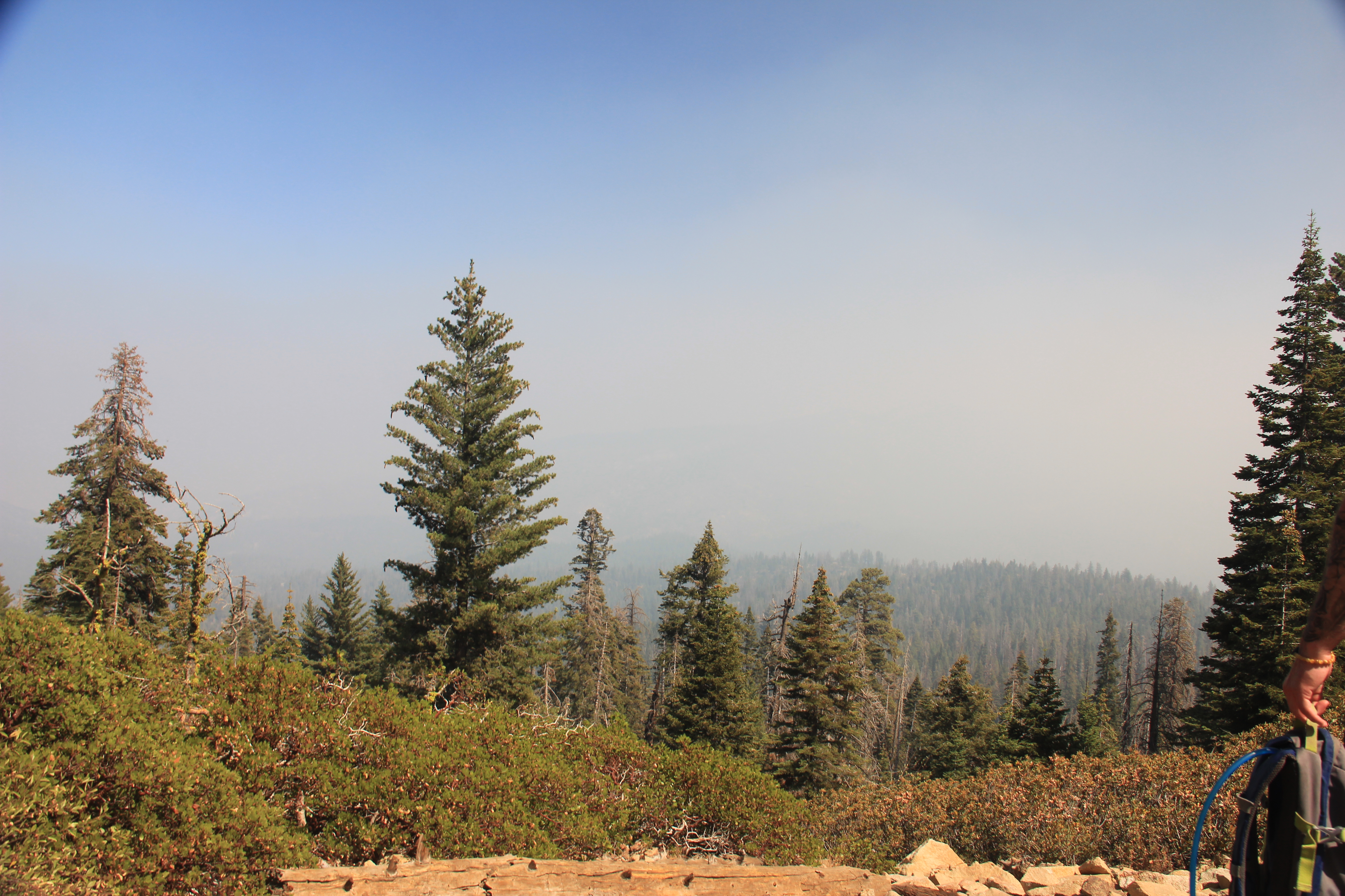
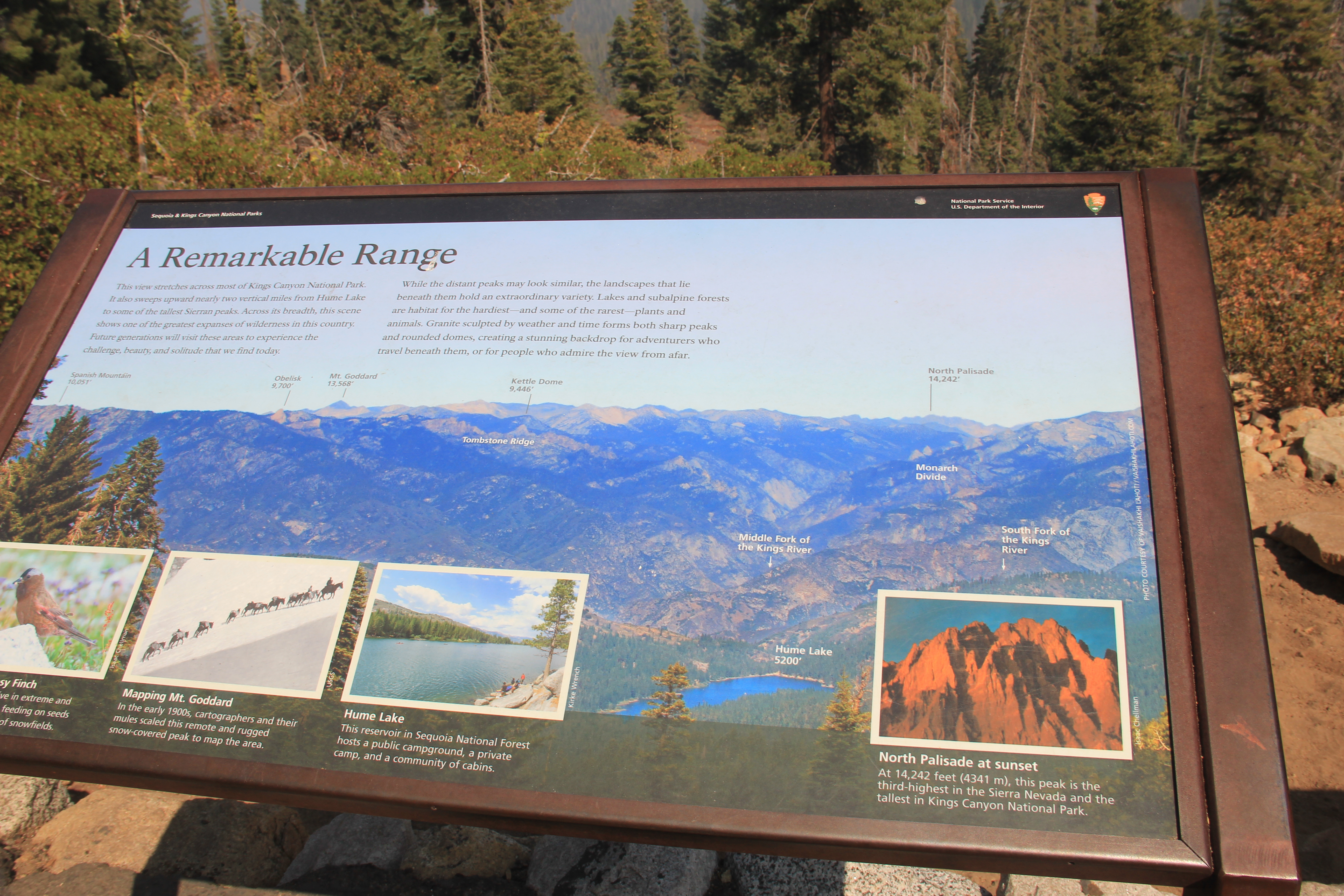
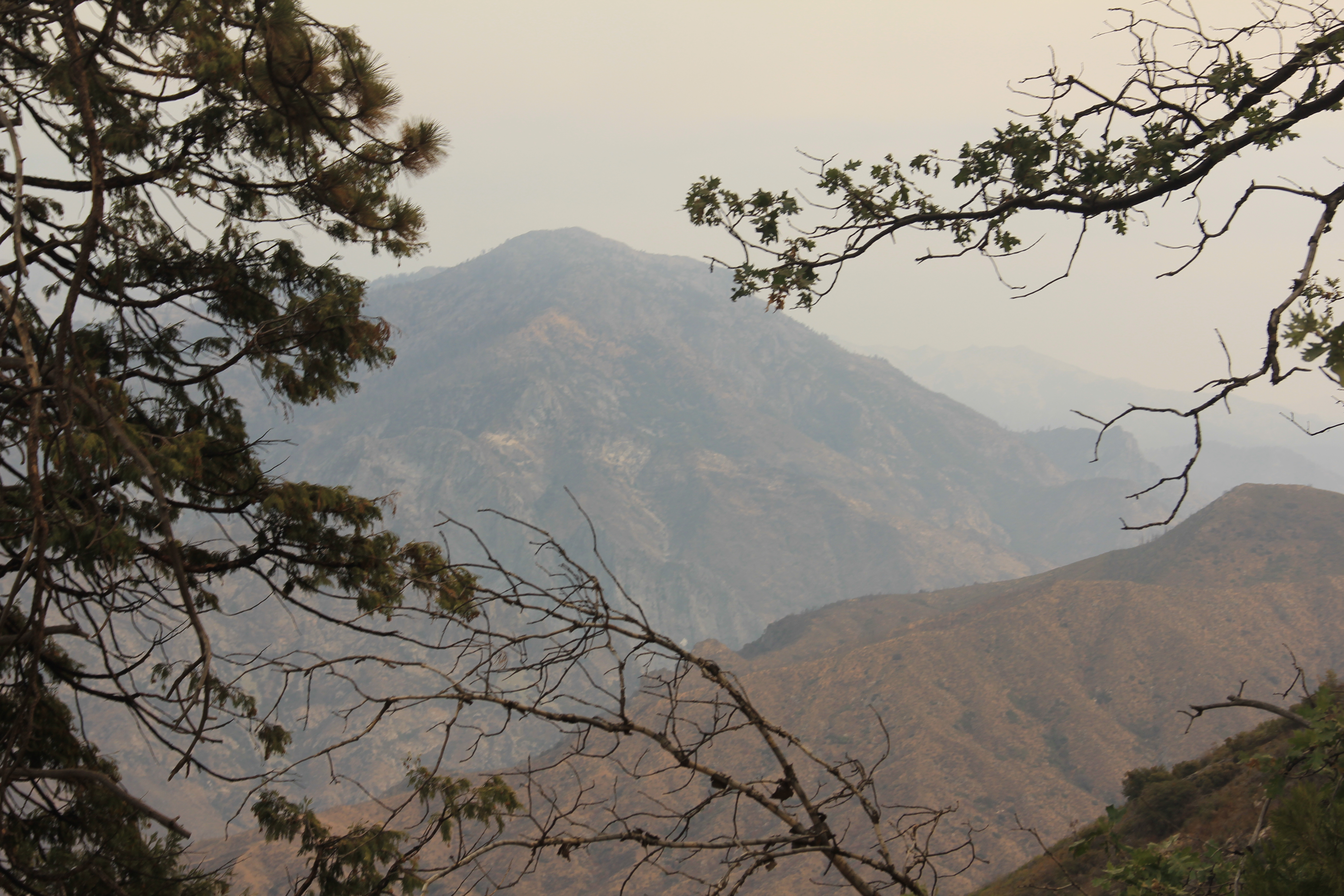
Panoramic Point Hike
This was a very short hike and provides great views of the Sierra Nevada's mountain range to the North. Unfortunately, smoke blocked the view. So I settled for a picture of the sign.
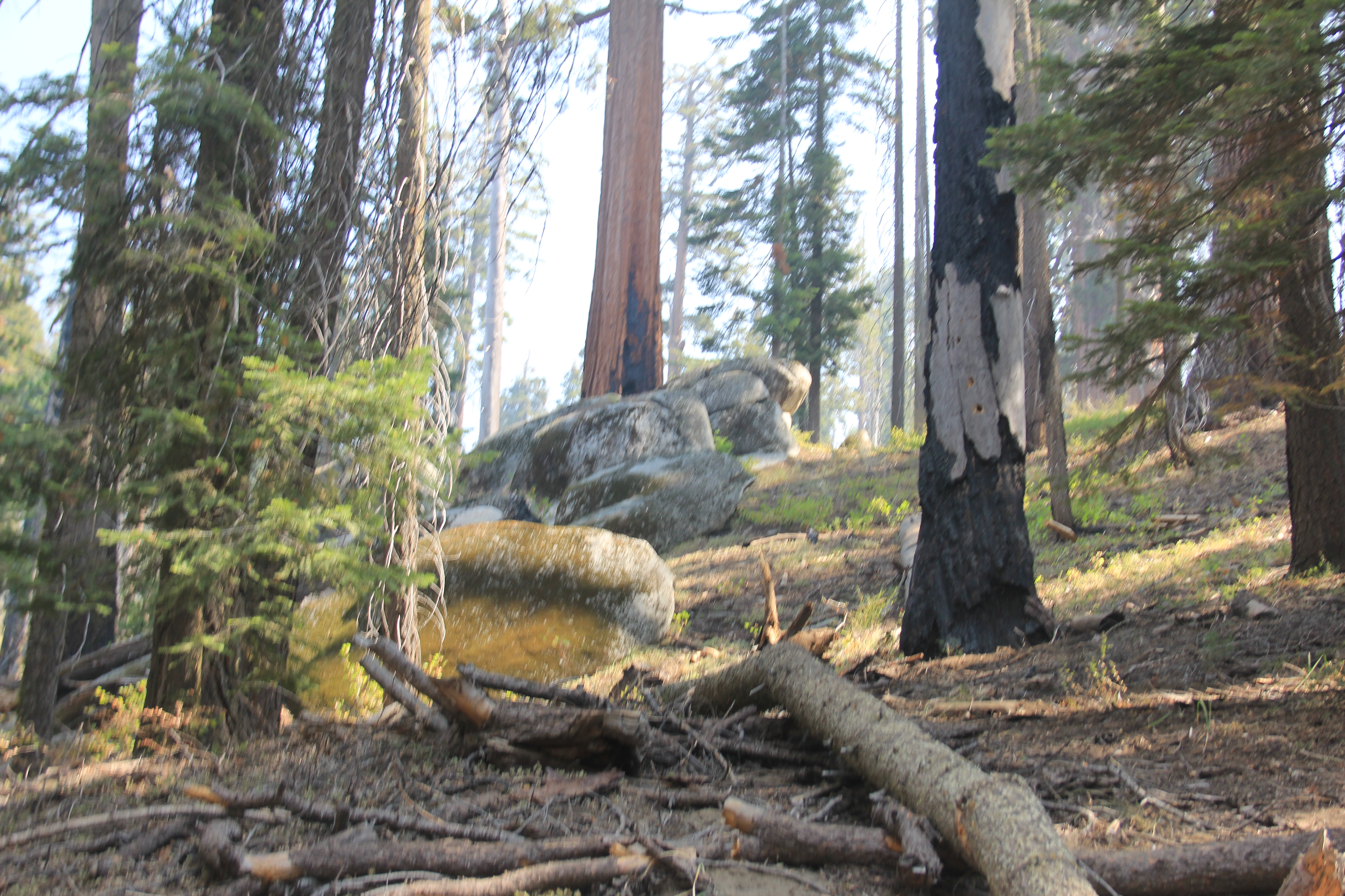
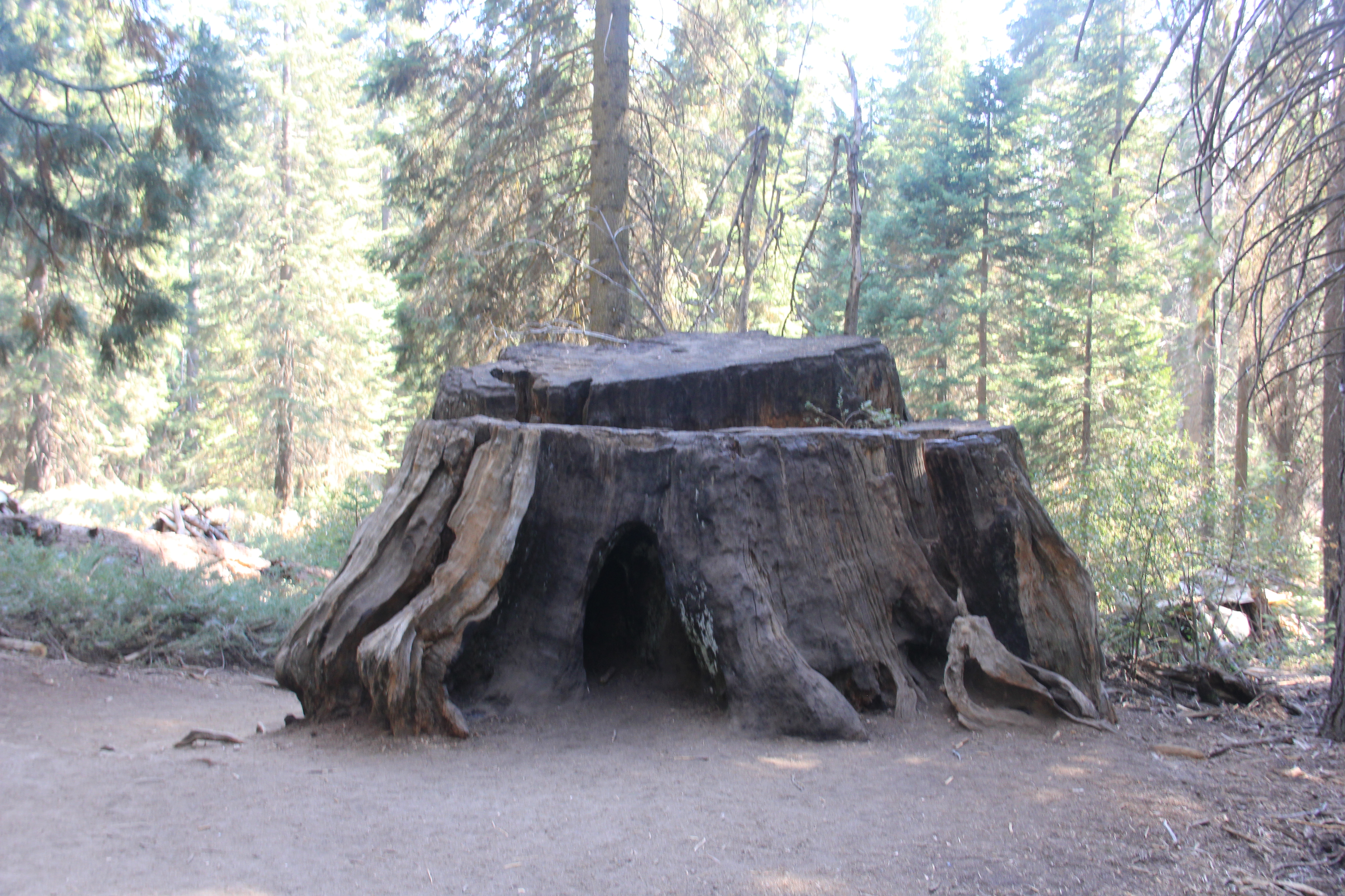
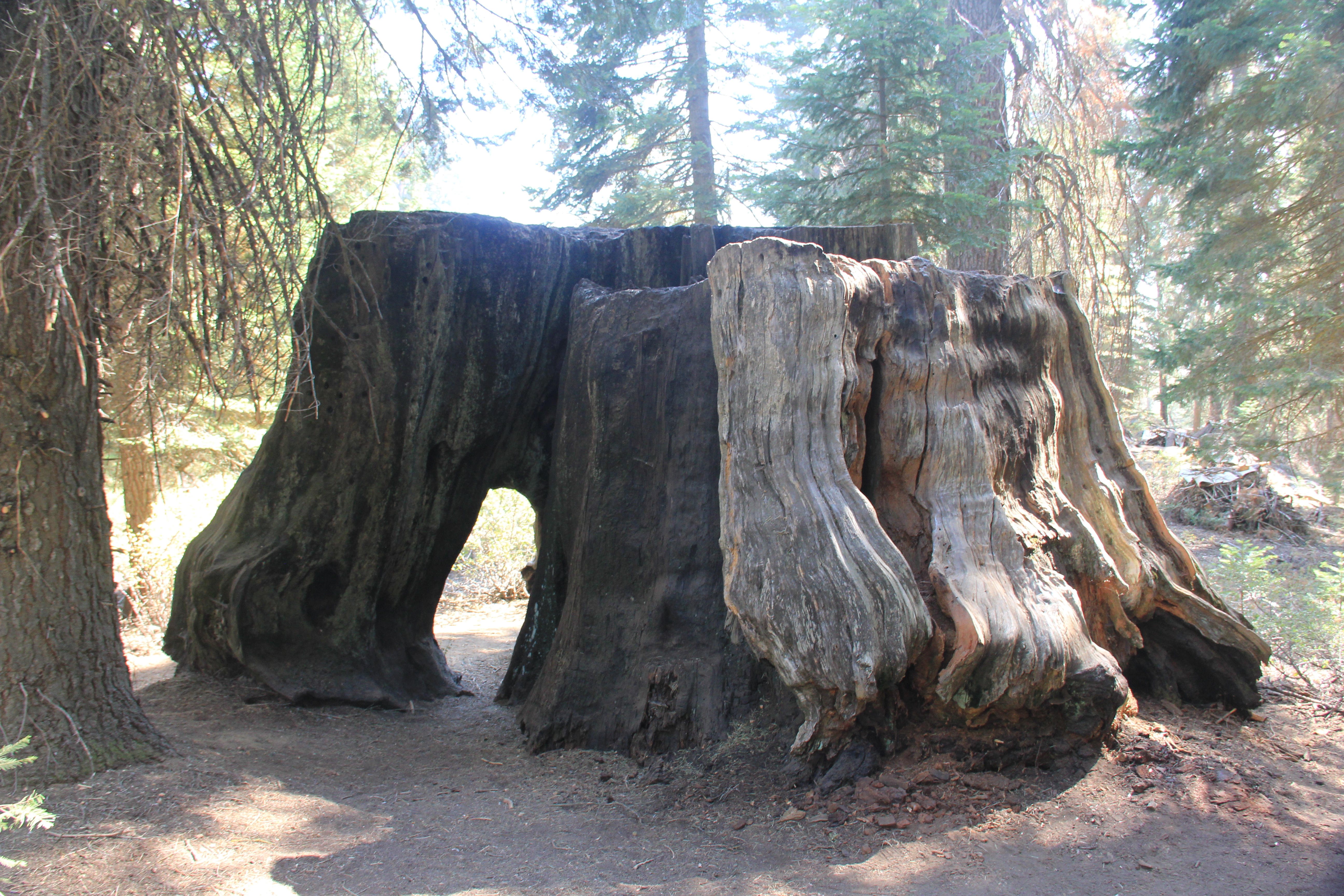
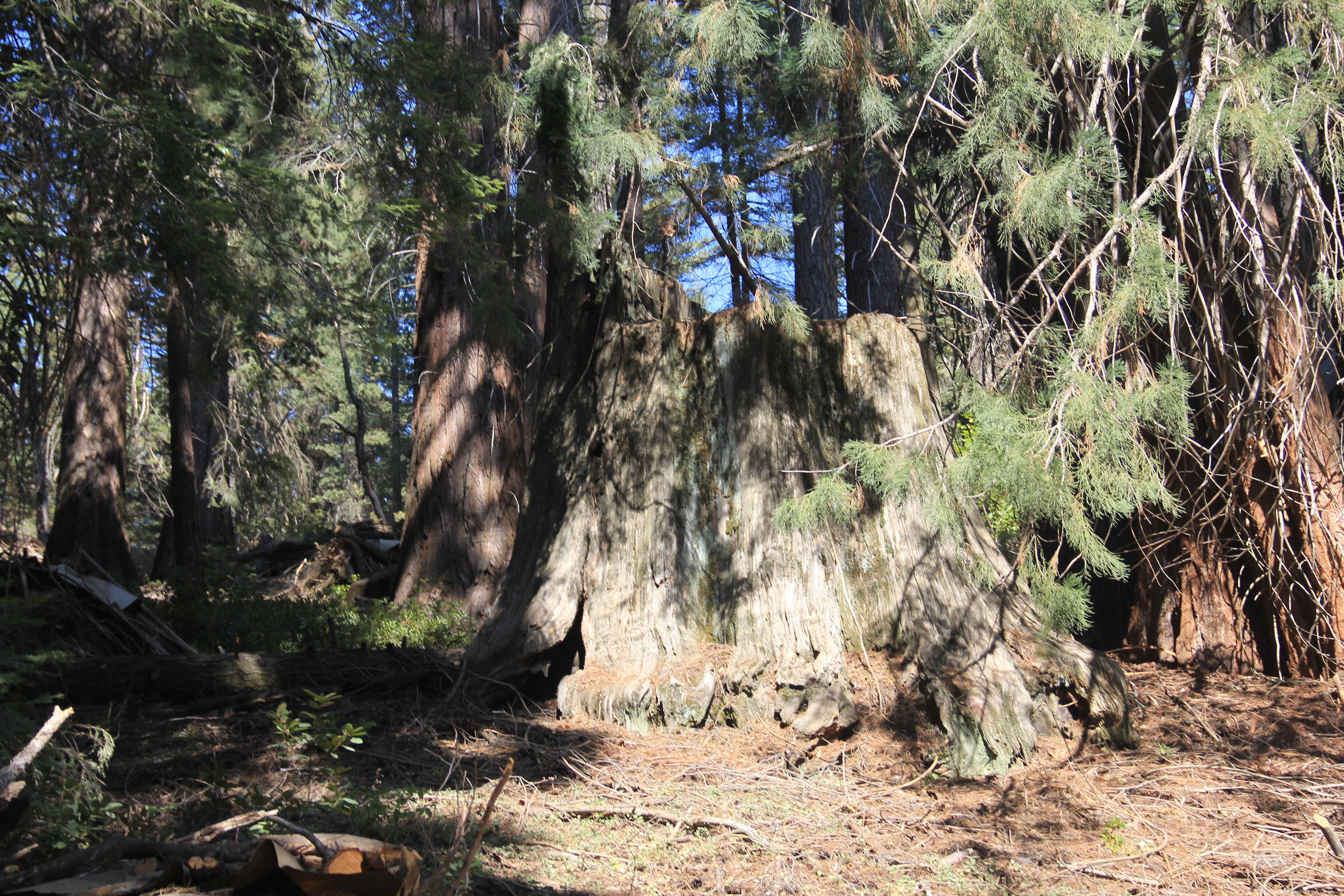
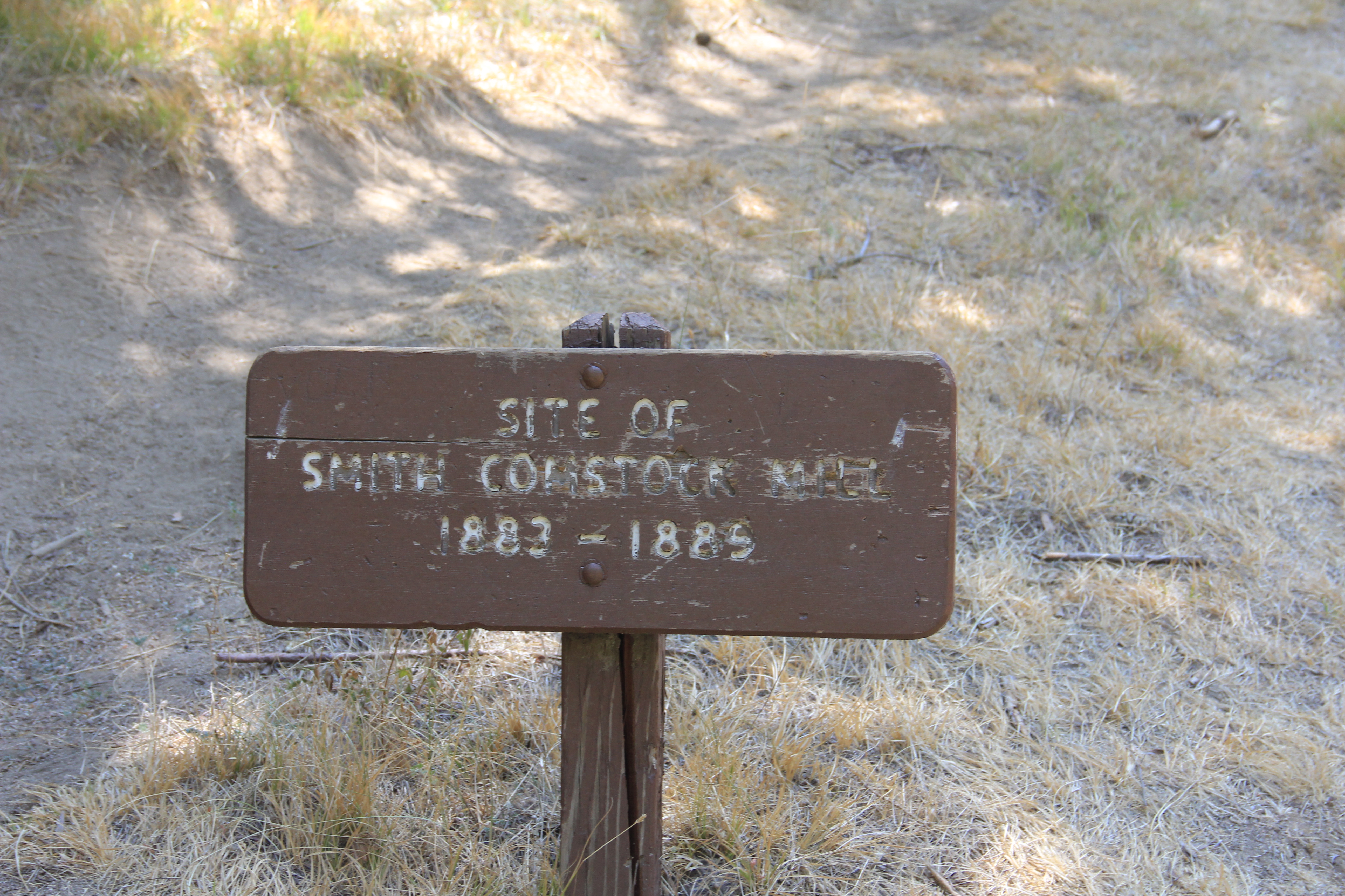
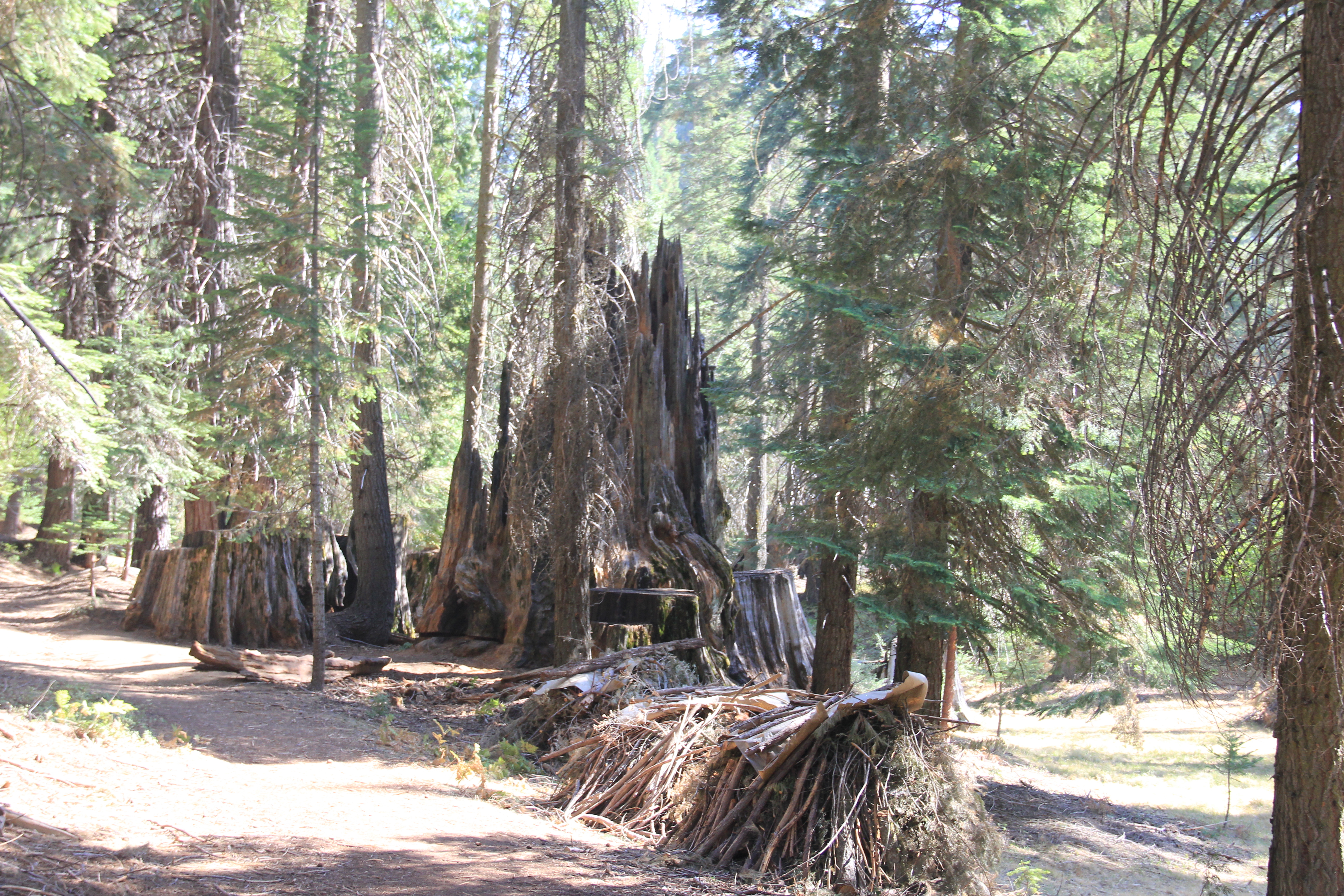
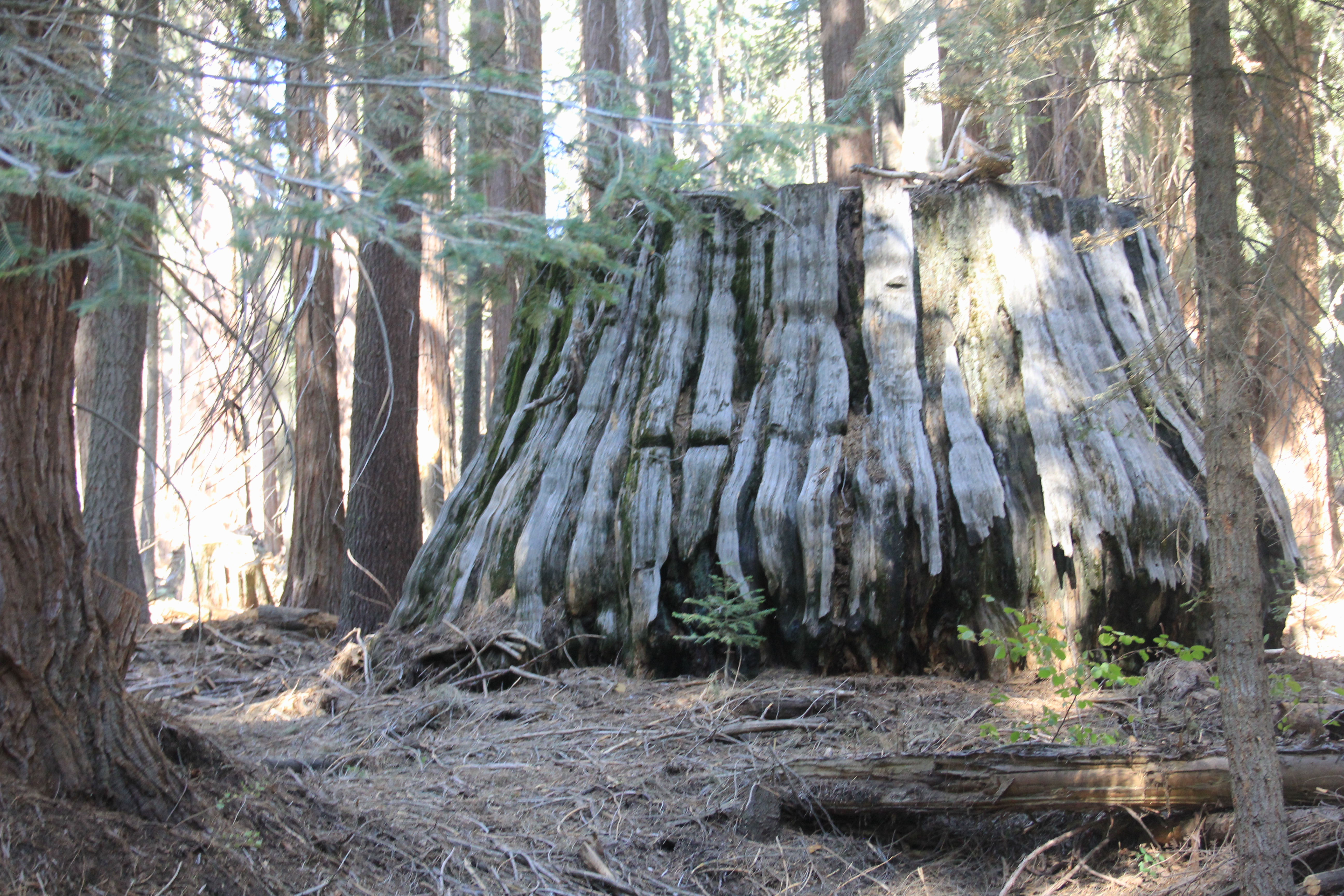
Big Stump Hike
Big Stump is an area where huge Sequoia trees were harvested for lumber cutting down trees 1000 to 2000 years old in the late 1800s. I wonder why they went after the huge trees instead of taking the smaller trees? Although, I am sure it was economics. What a shame. We saw tons of huge stumps on this hike. The meadow was the site of the Smith Comstock Mill from 1883 - 1889.
The stump you see with the steps going to the top is the Mark Twain Tree Stump. In 1891 the core of army engineers cut down the tree (one of the largest trees in the world) to get cross sections of the tree they displayed in New York and elsewhere to raise awareness of these giant trees. Uhm... hadn't they thought of this.... make a model replica of a cross section of the tree and leave the tree alone!
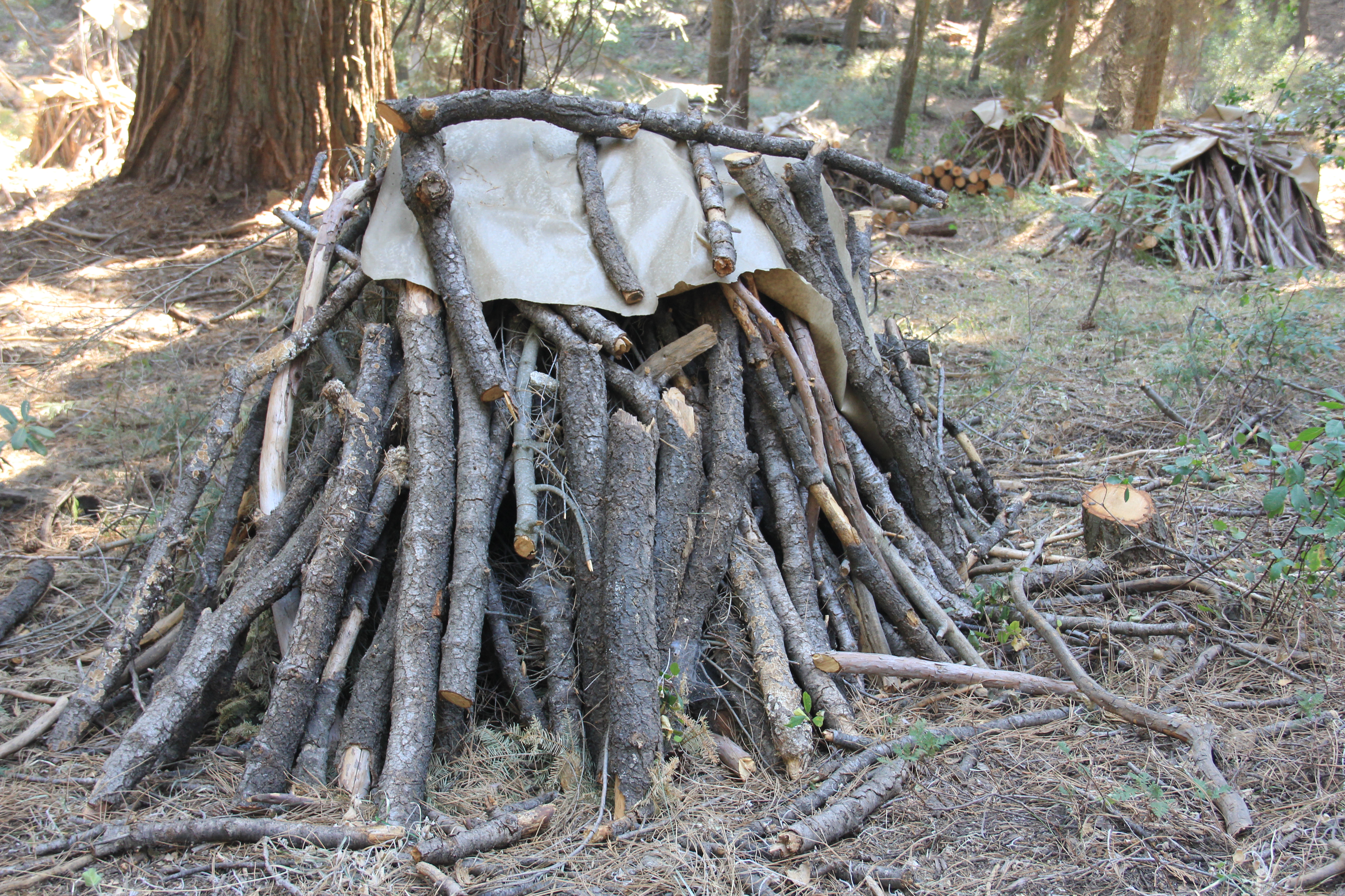
Also, in the first picture you see a stack of wood piled up by the forest service. We saw lots and lots of these throughout the park. They are gathering up the tinder from the forest floor and do controlled burns to help prevent wild fires from spreading. But, even with all the piled up tinder, there was still a lot spread all over the forest.


Today's trails were all lightly trafficked. A good day of hiking, about 7 miles, nice!
After the big stump hike we stopped back at the Visitor Center for a relaxing beer. Again, not crowded at all.
We drove back the long way (more highway, fewer one lane road) to Three Rivers, 1:40 mins.
Had salads for dinner and watched the Chicago Bears lose poorly on Sunday night football.
Tuesday, Sep 14th
Weather: Perfect, same as yesterday.
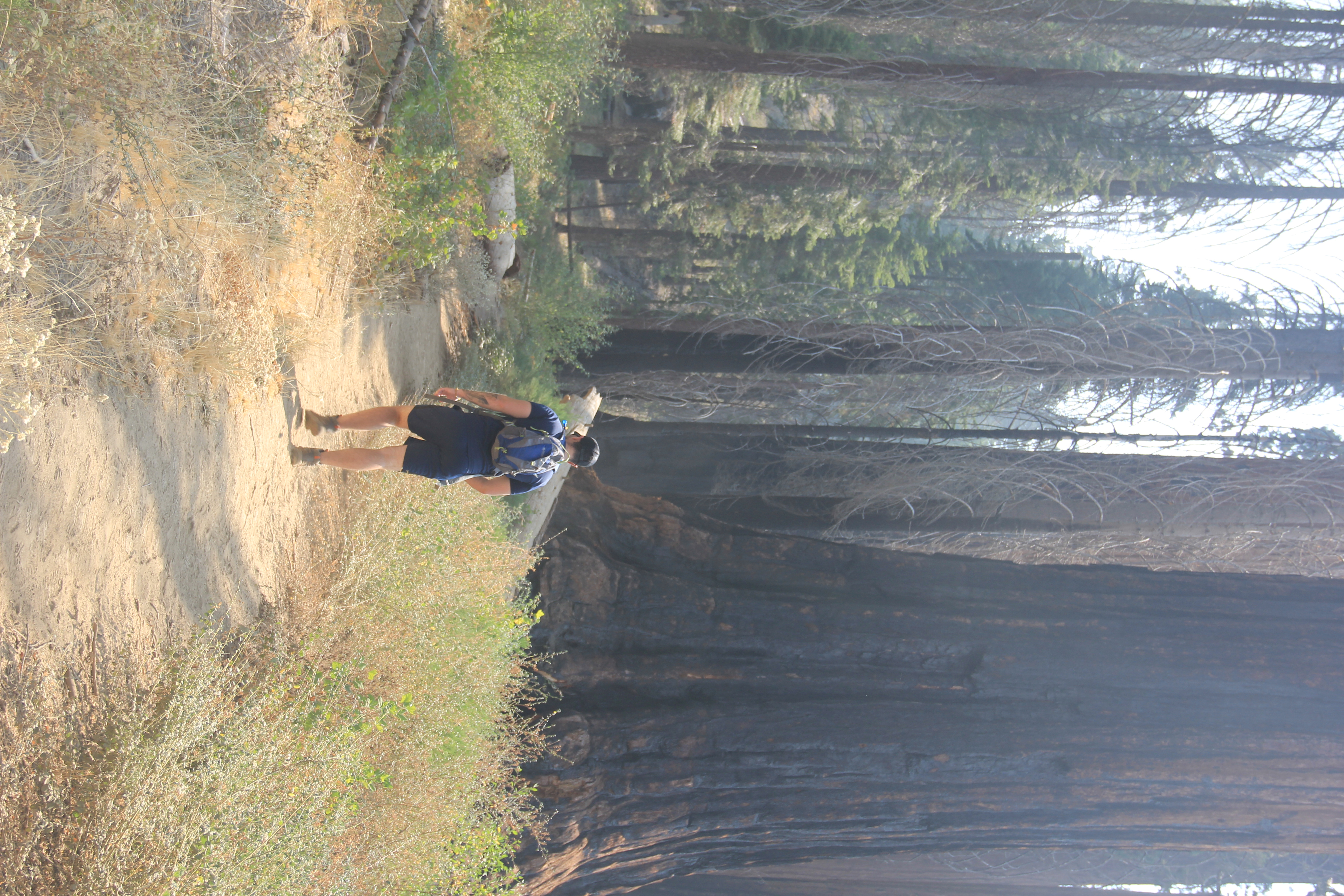
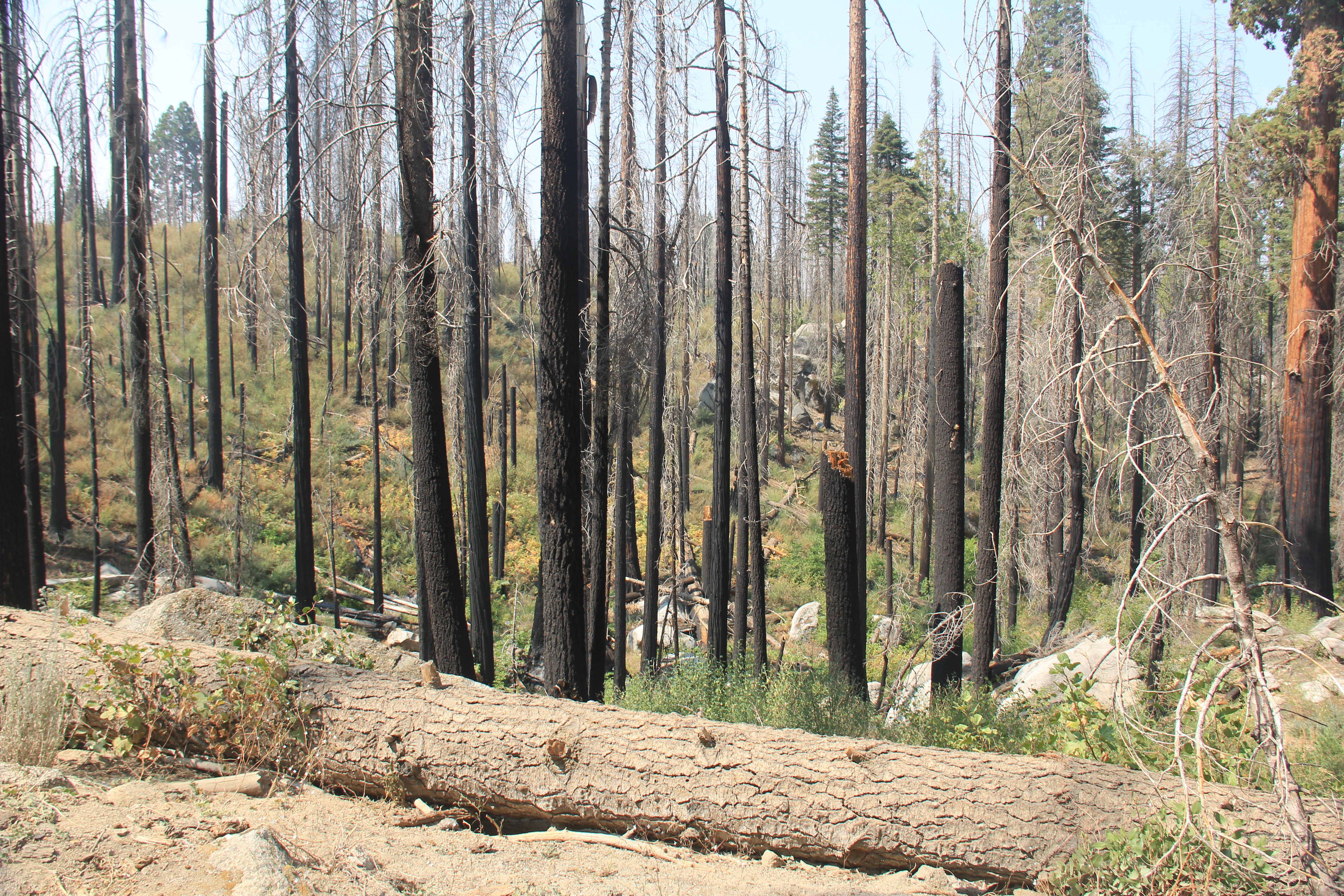
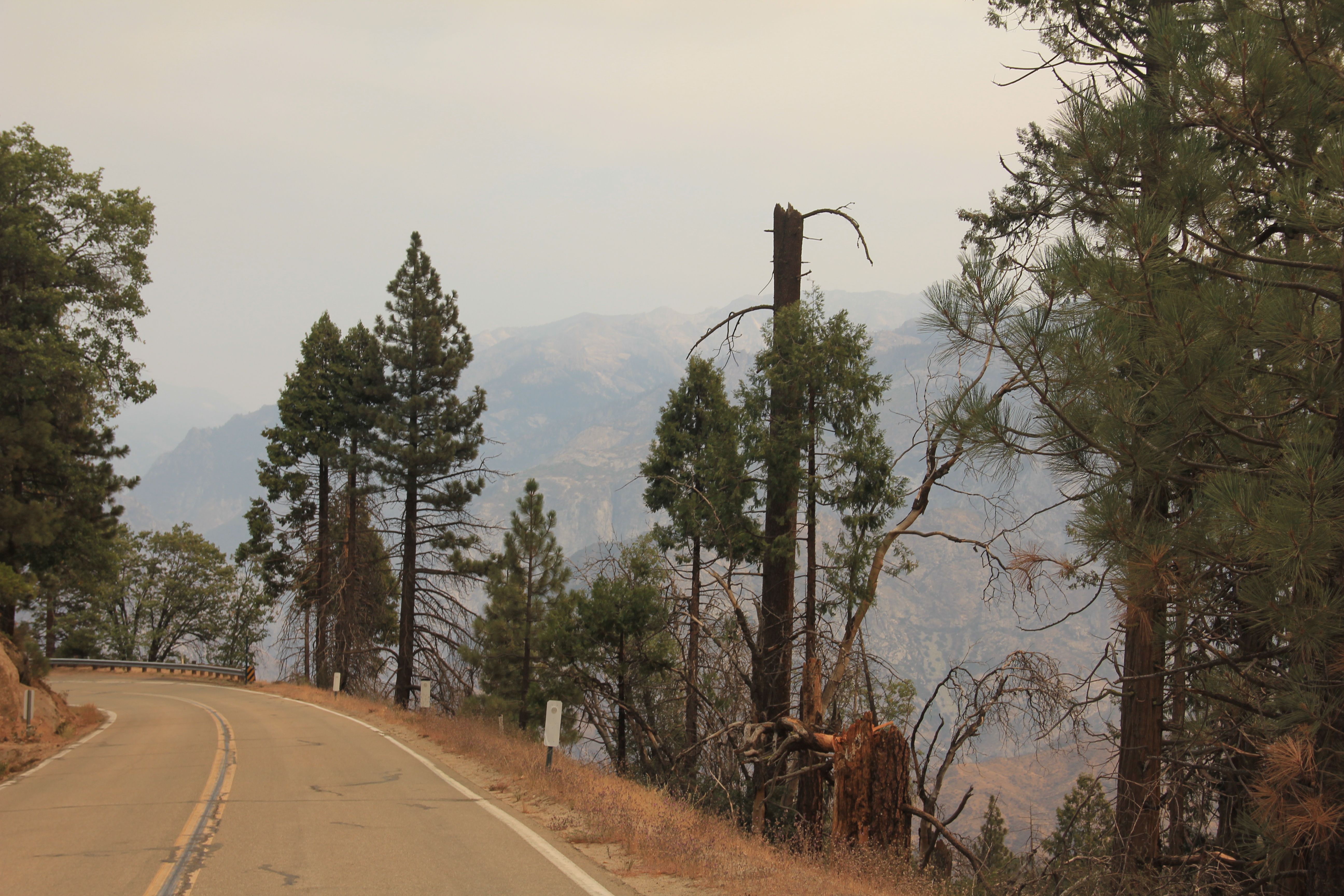
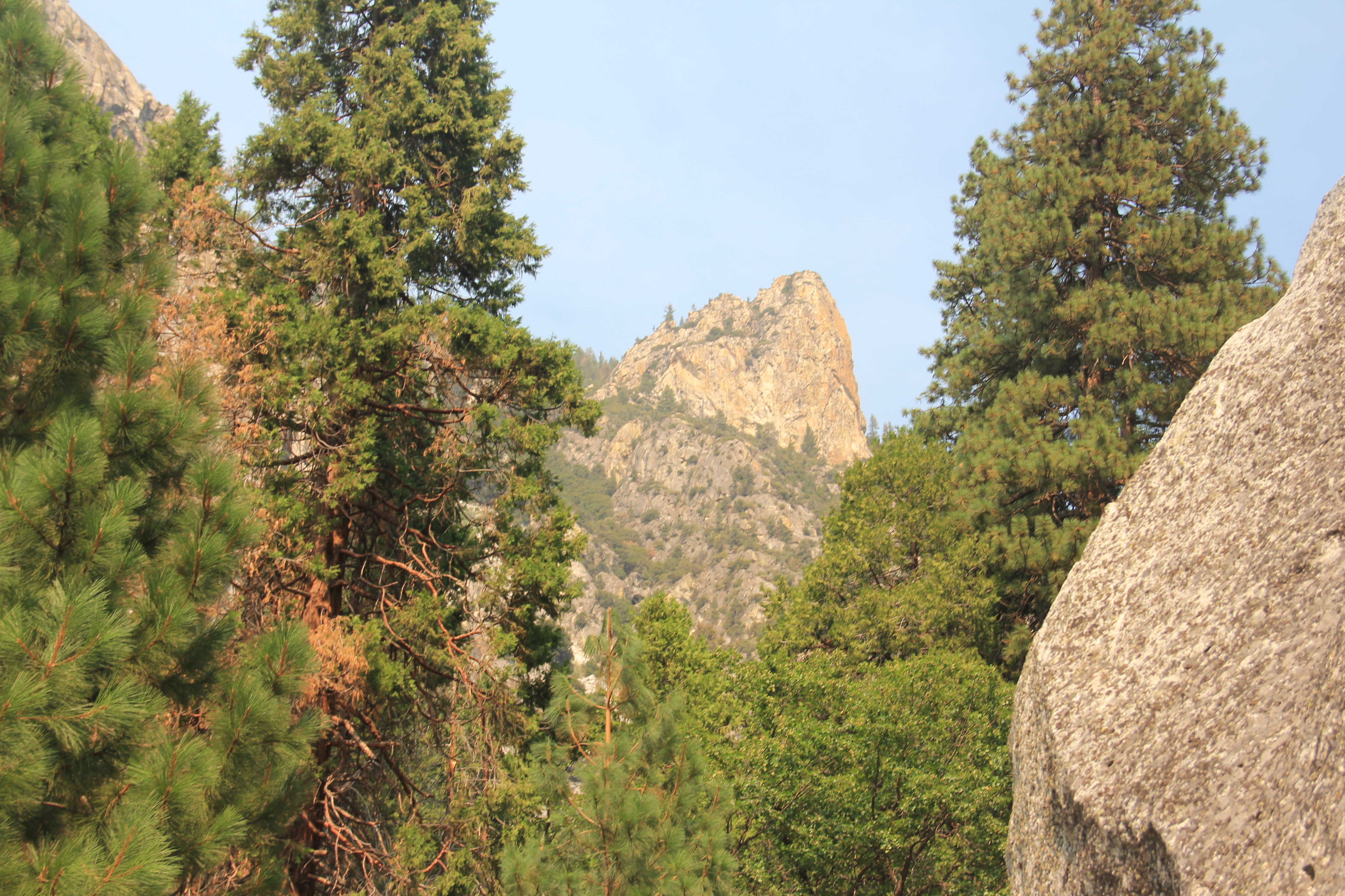
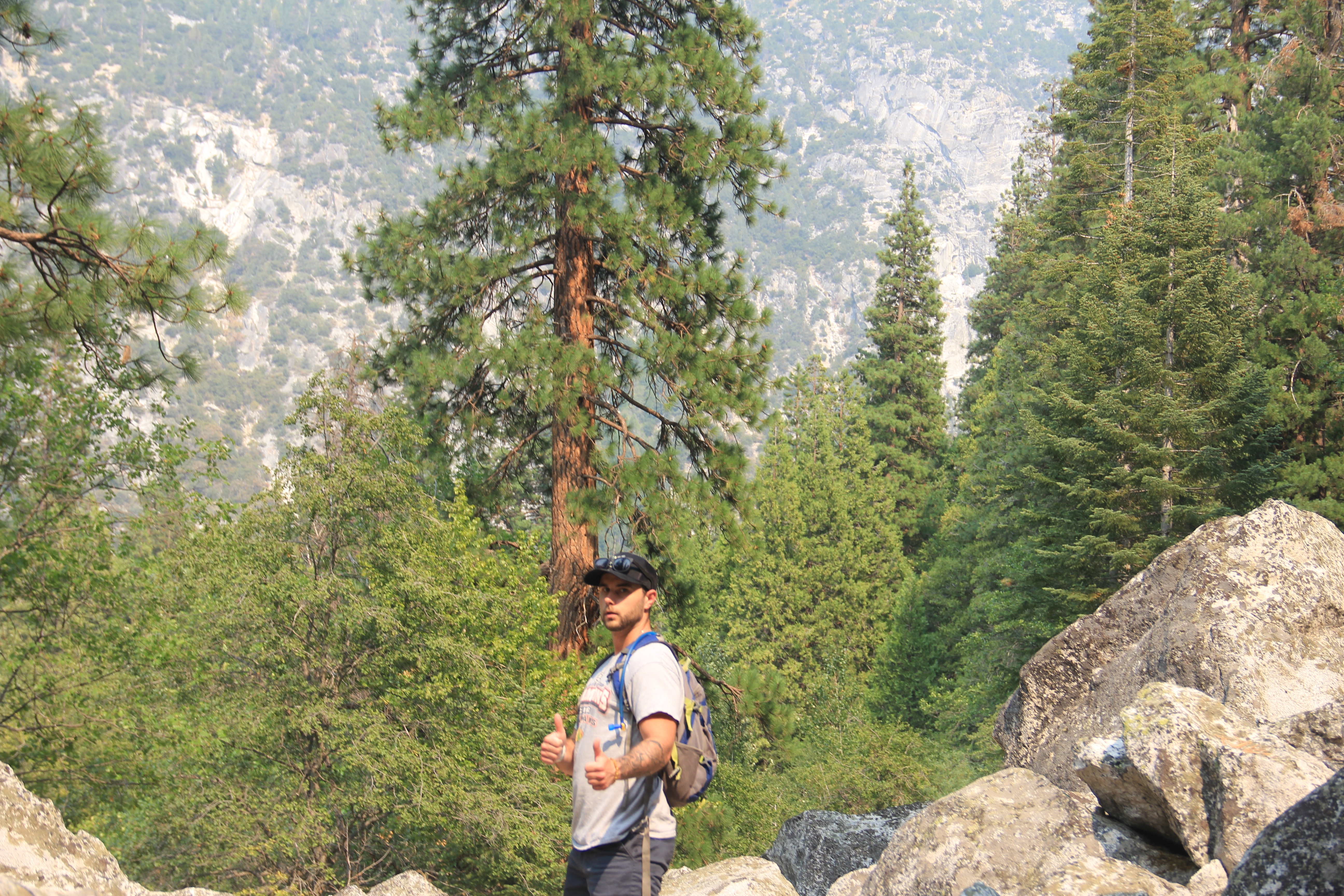
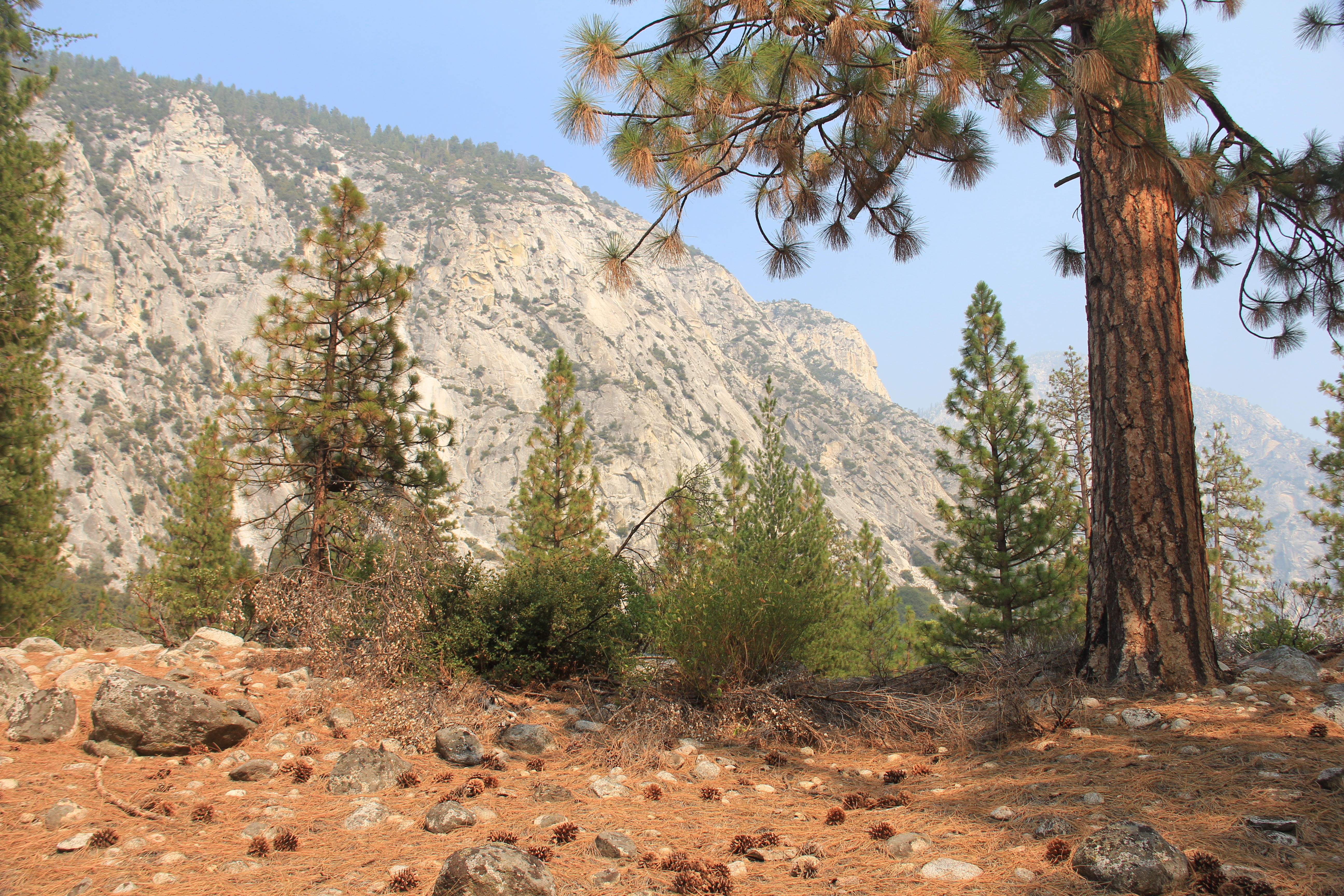
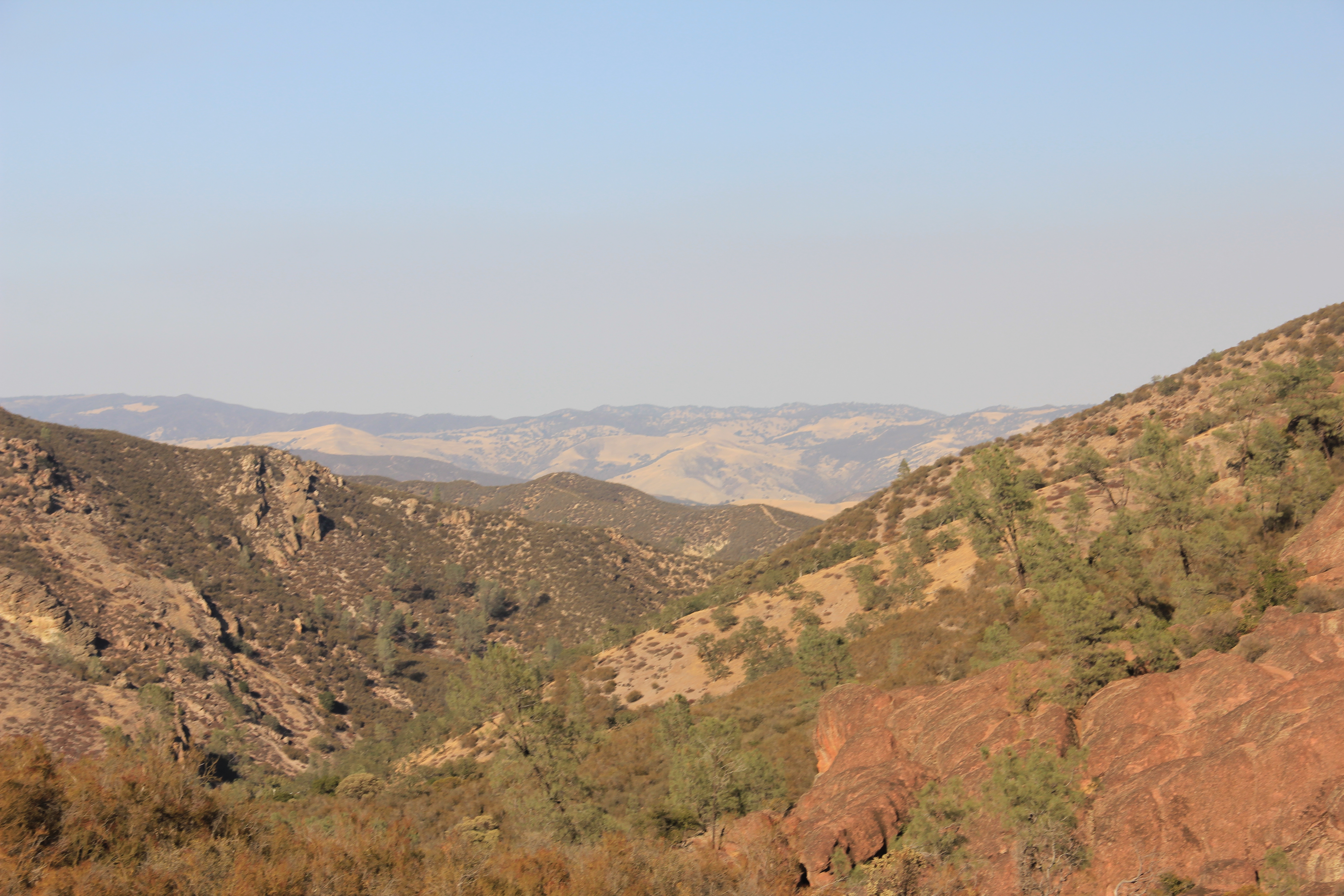
Another long drive back to Kings Canyon, 1:30. This got us to the West end of the park which we had hiked yesterday. We headed down the scenic byway which goes through the Sequoia National Forest and then into the Eastern Cedar Grove Area of Kings Canyon. This was another hour drive but it had spectacular views along the, with lots of winding hairpin turns! Jake drove nicely. We went from 6500 ft elevation on the West side of the park down to the bottom of the Canyon ~500' elevation.
We saw some really burned up sections along the way and the views were definitely impacted by the smoke coming from Sequoia NP fires.
Scenic Byway
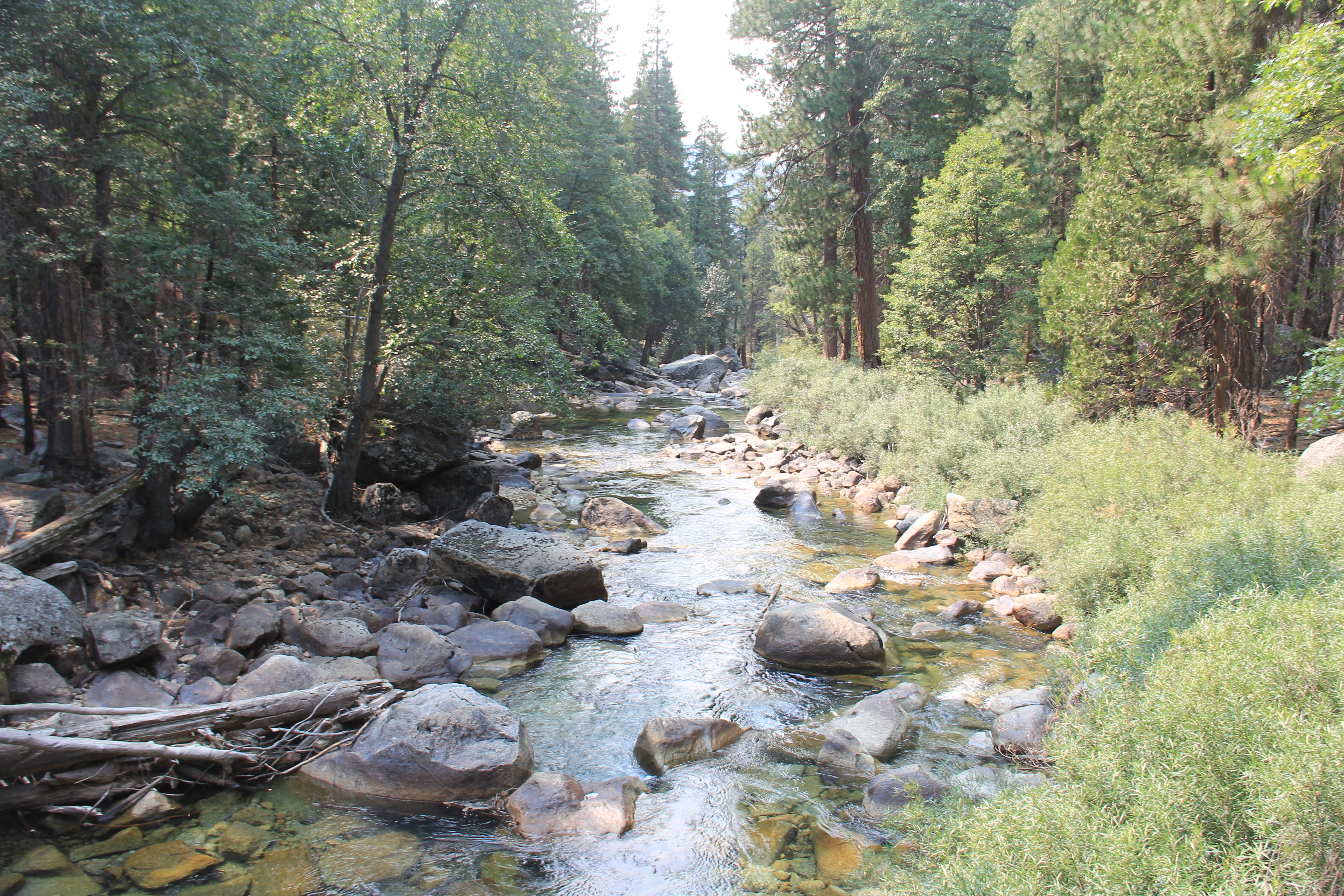
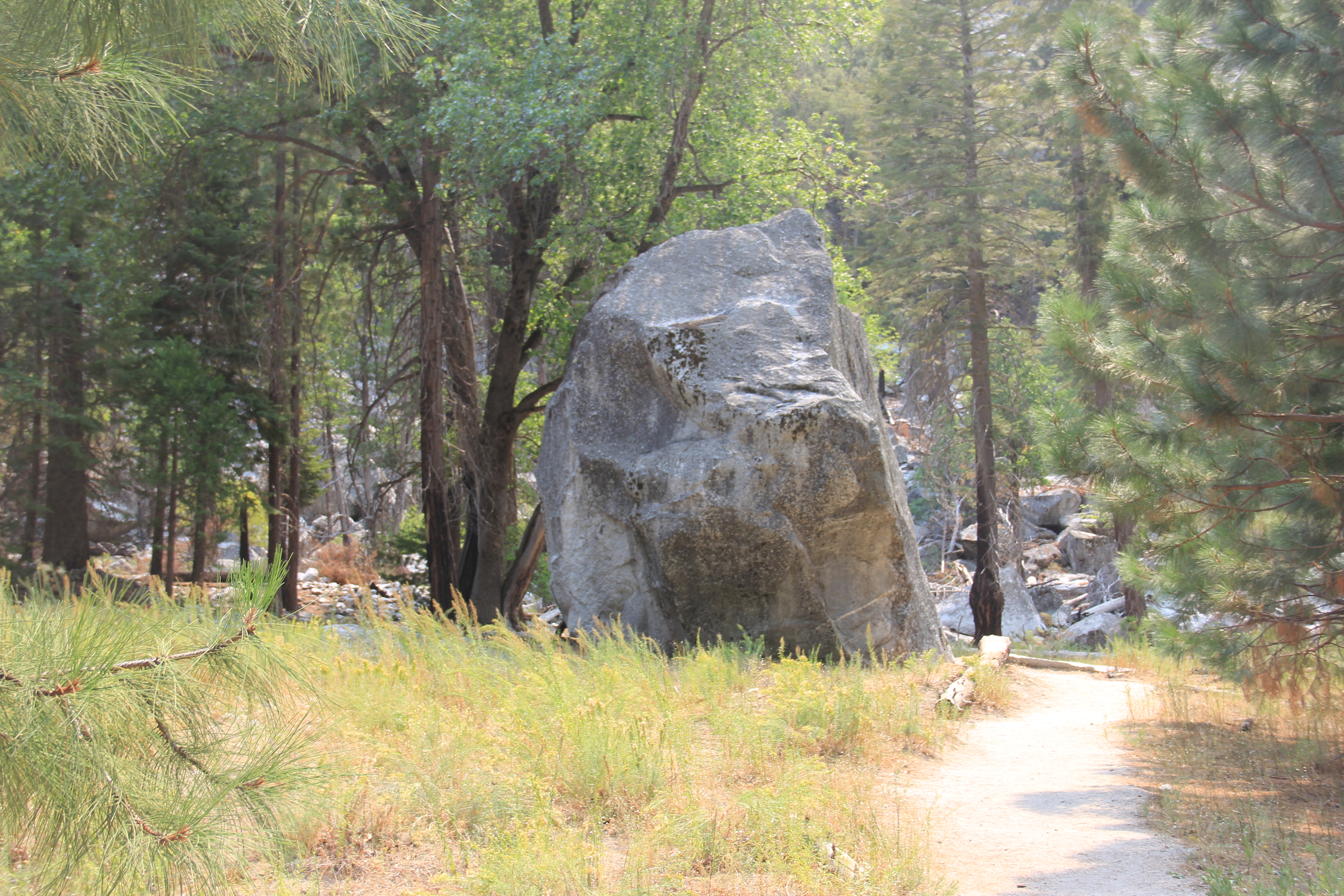
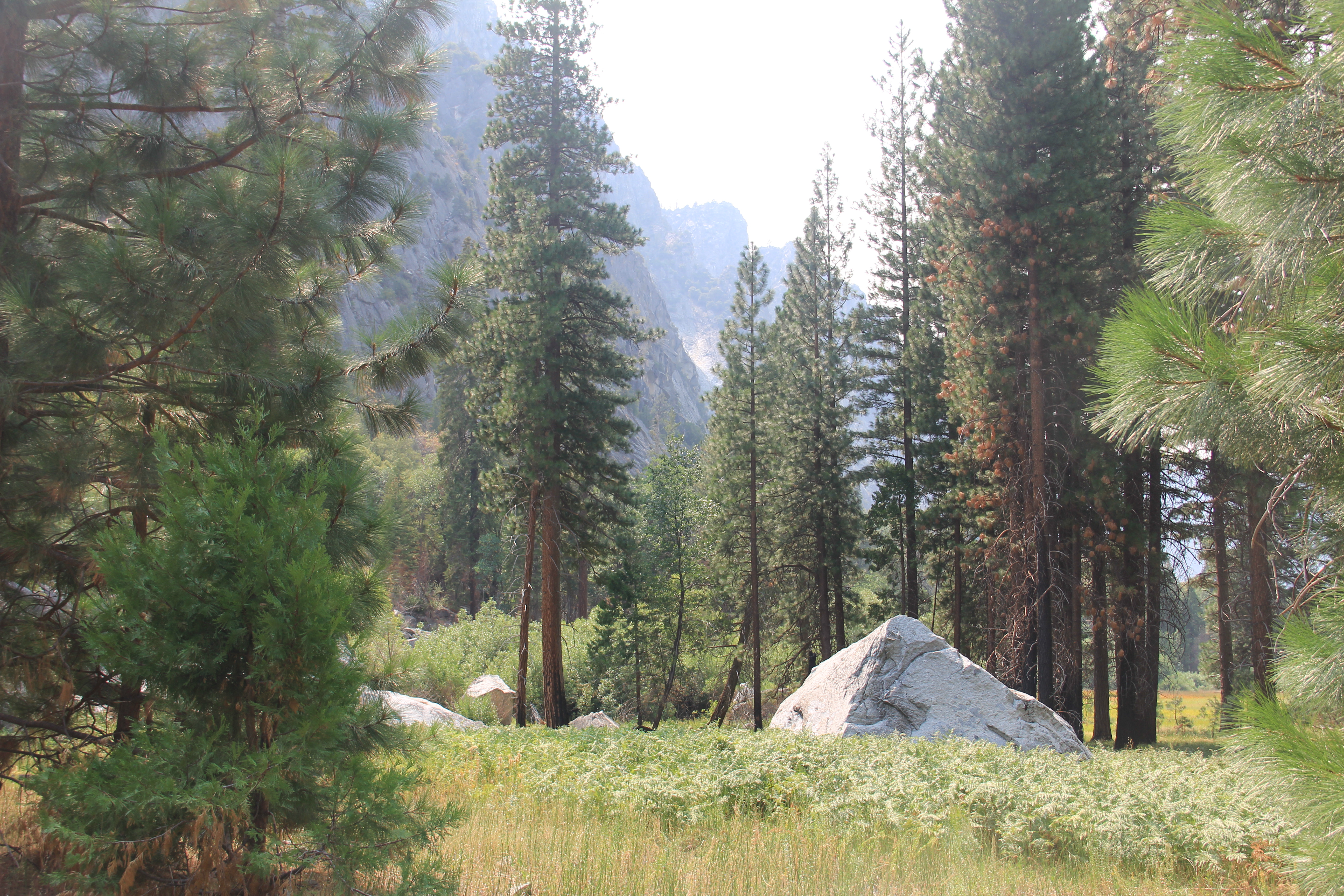
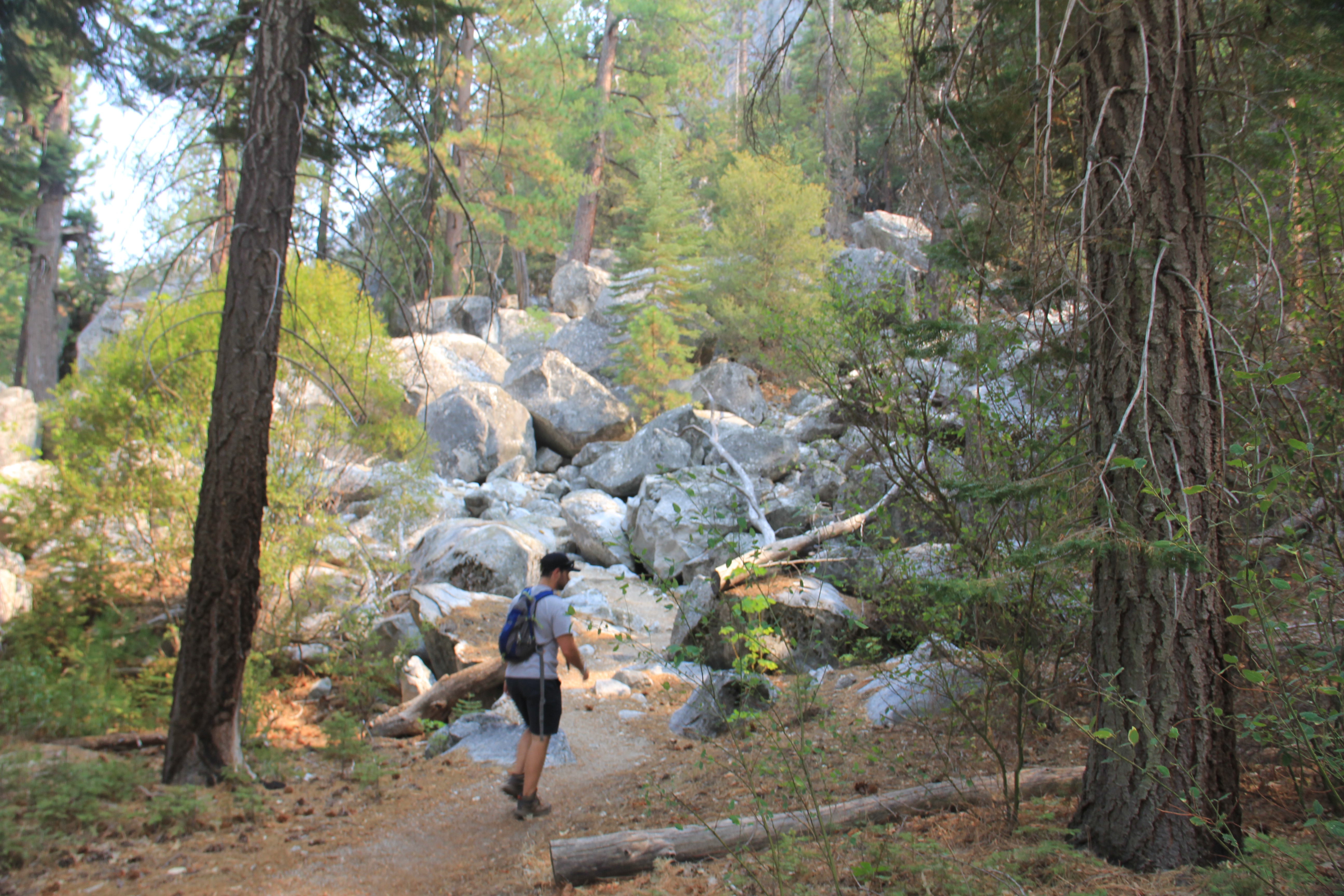
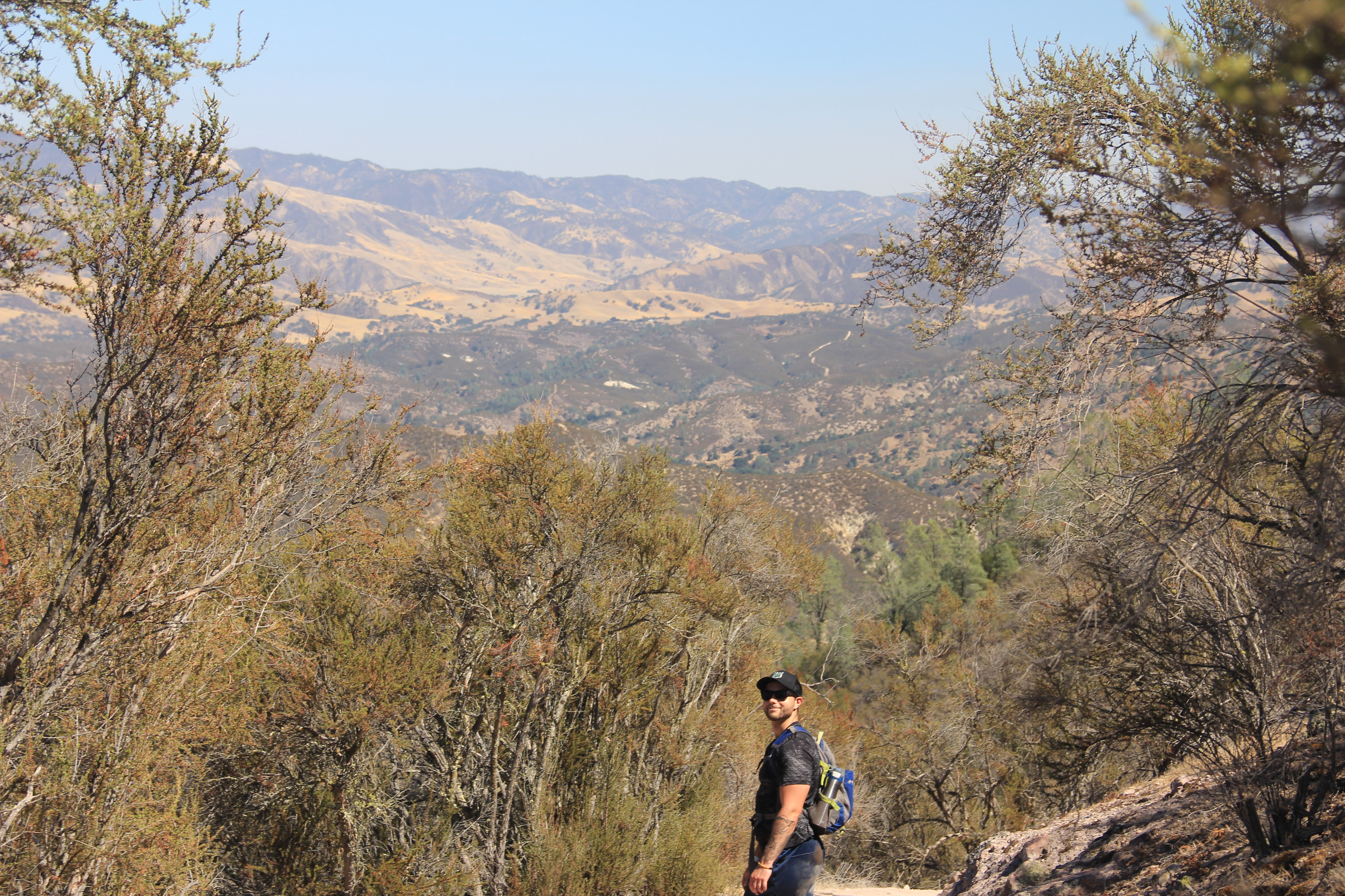
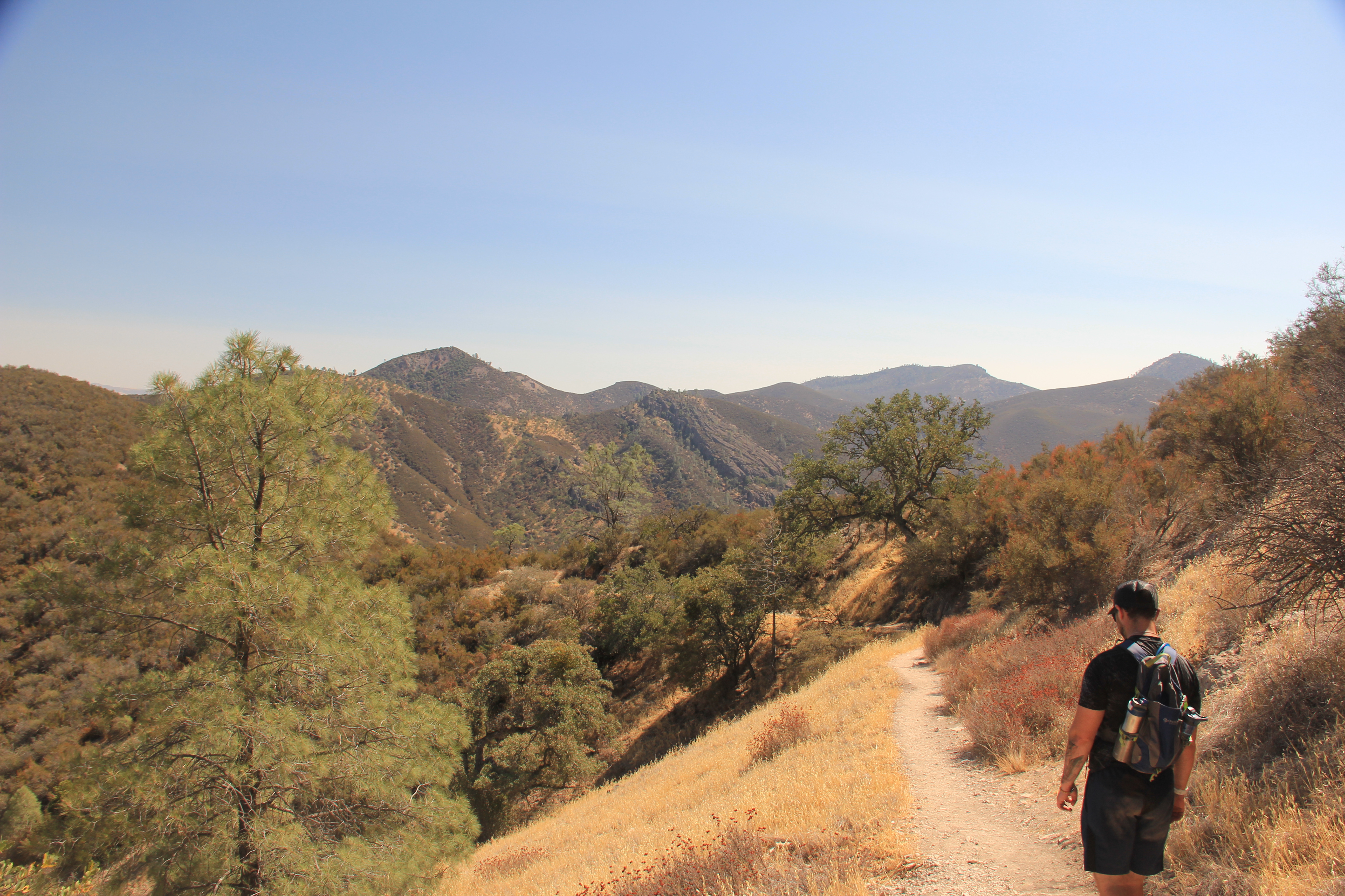
Cedar Grove Hikes
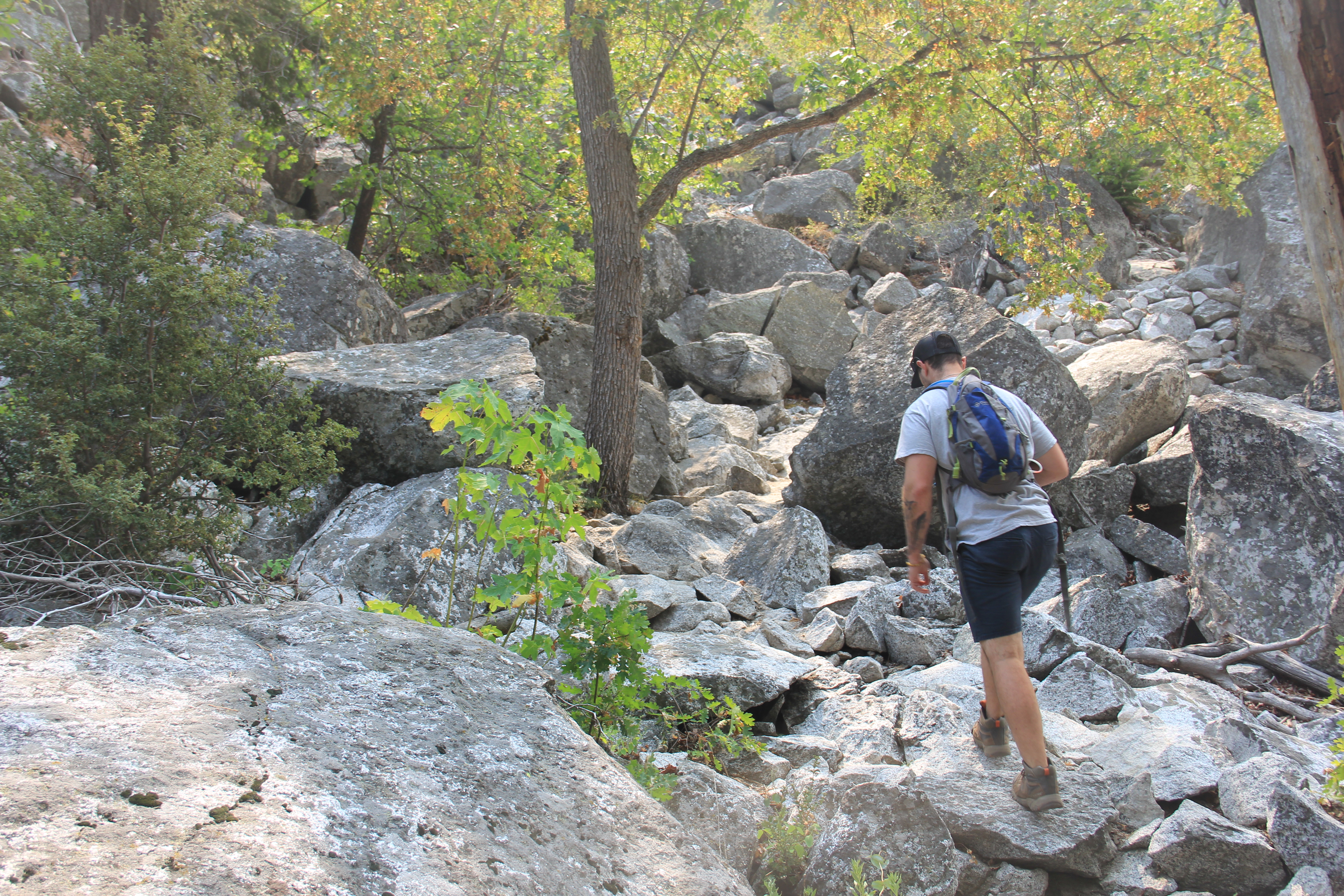
We did two good hikes. About 7 miles total, not much elevation gain. All lightly trafficked.
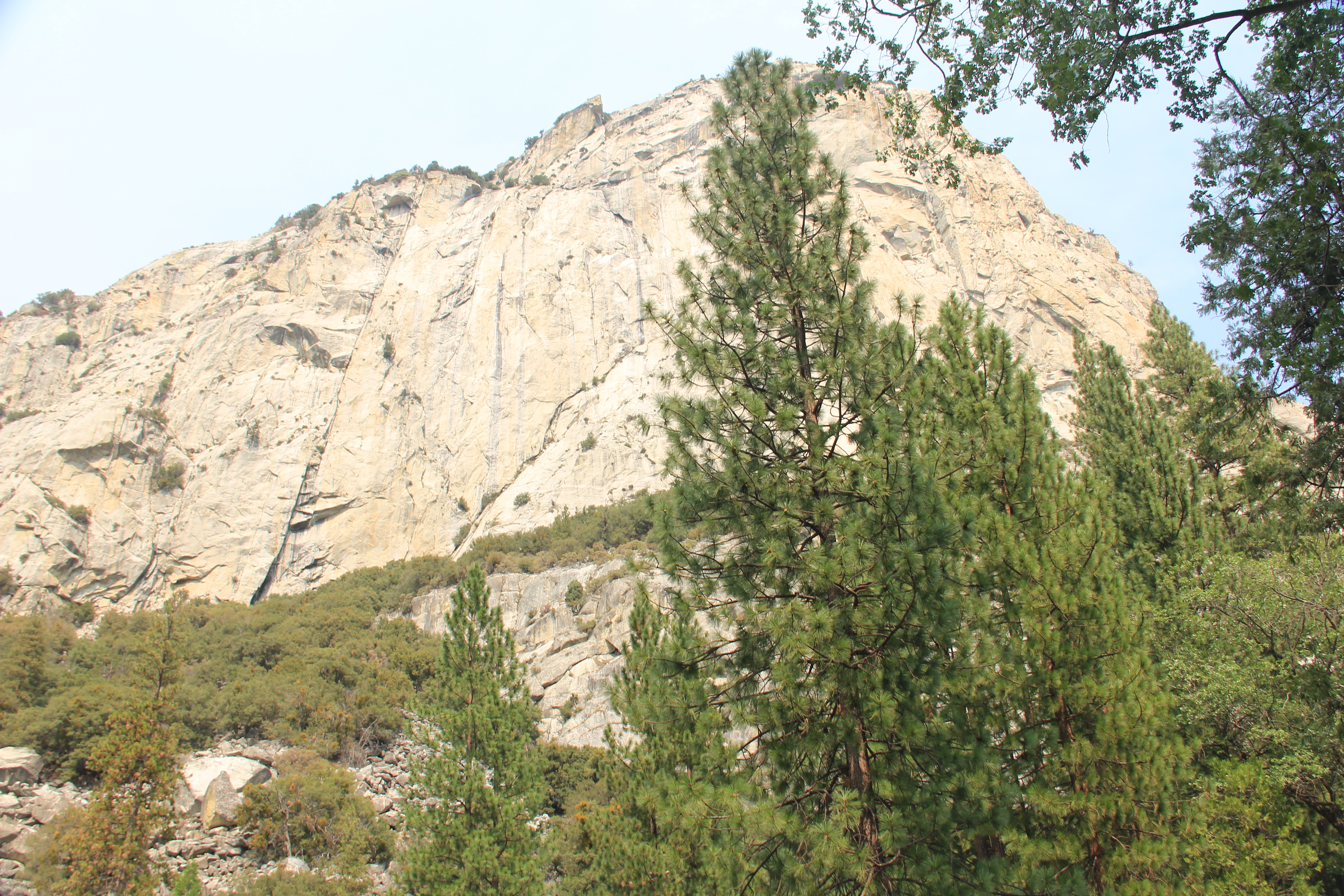
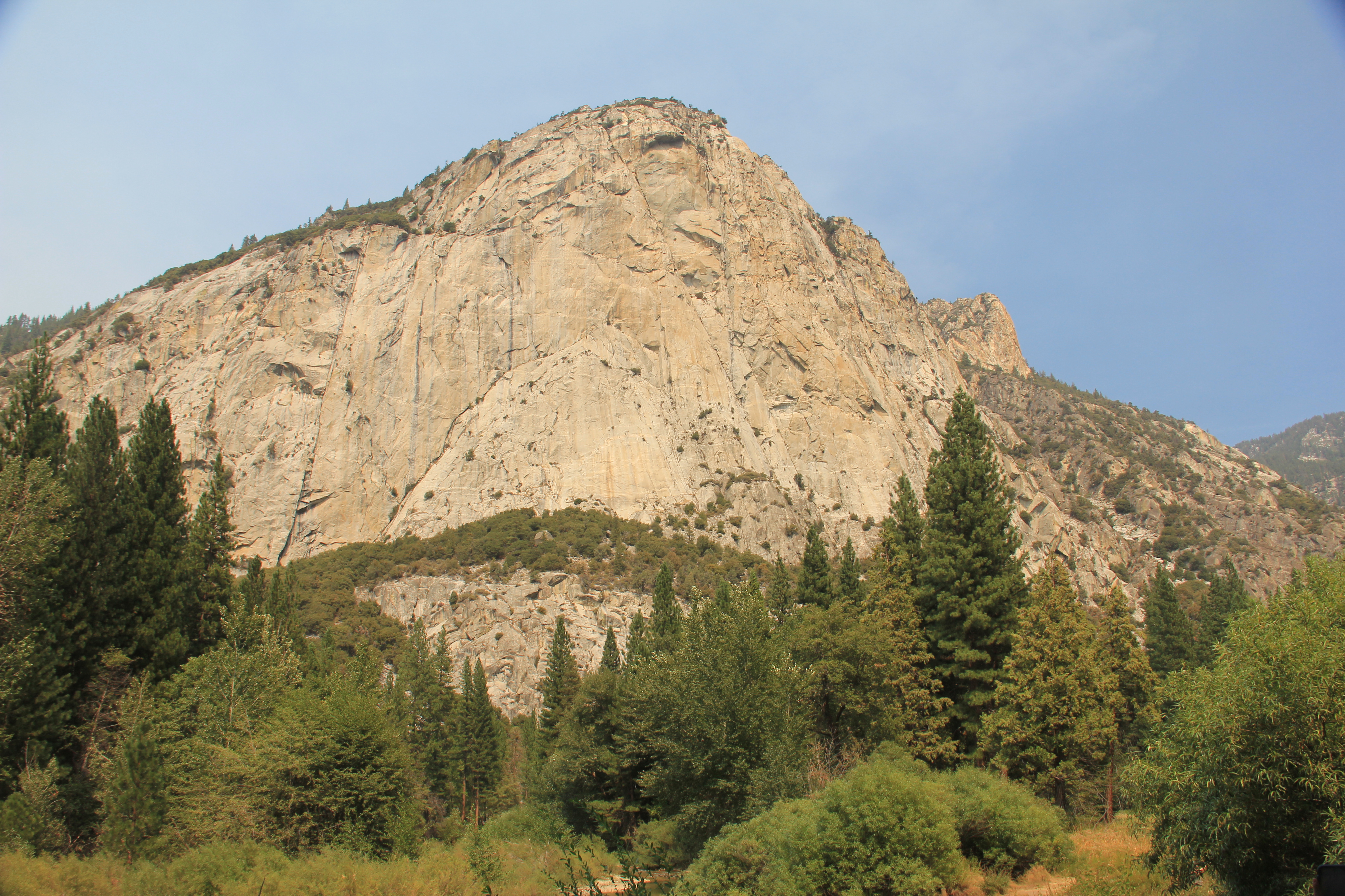
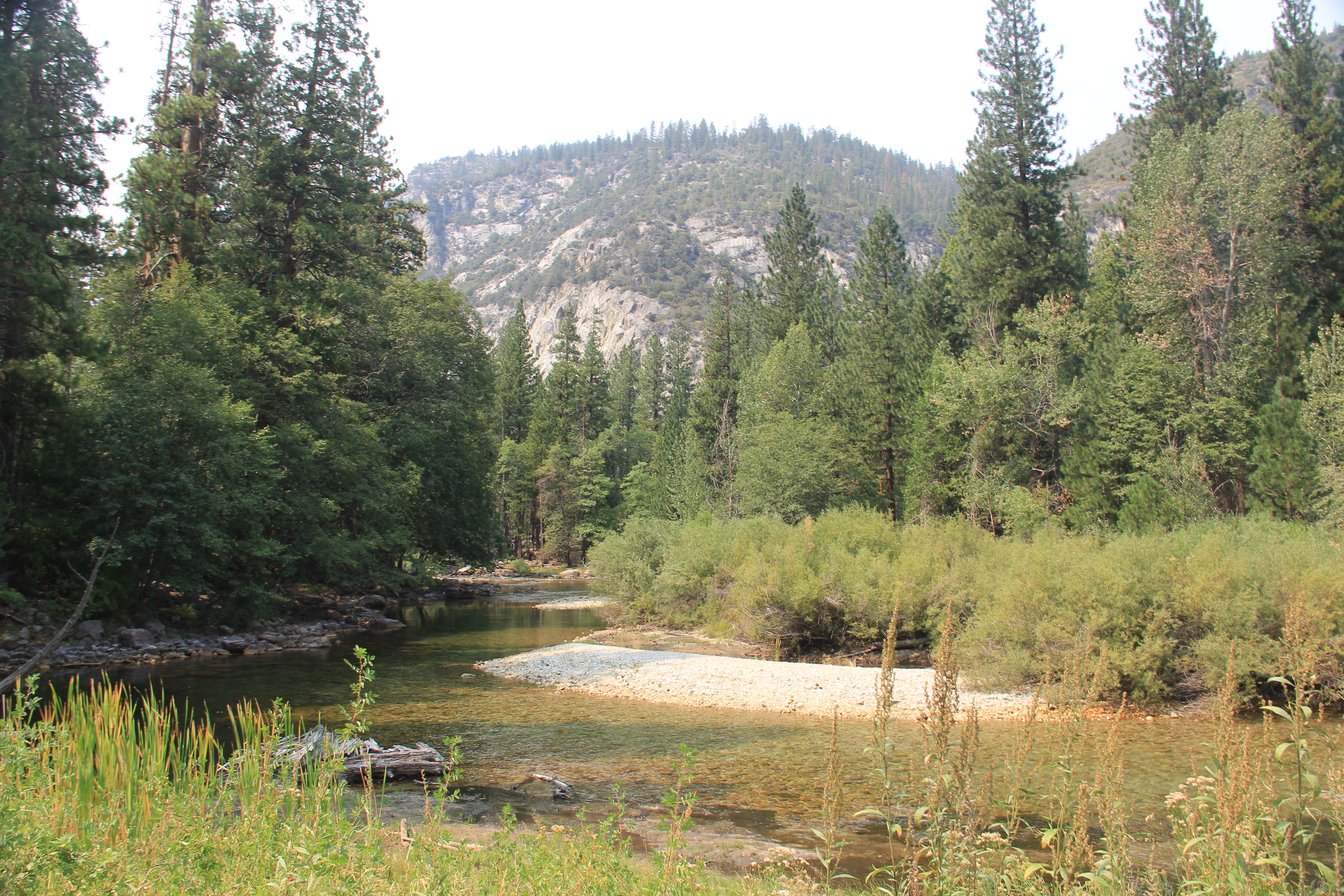
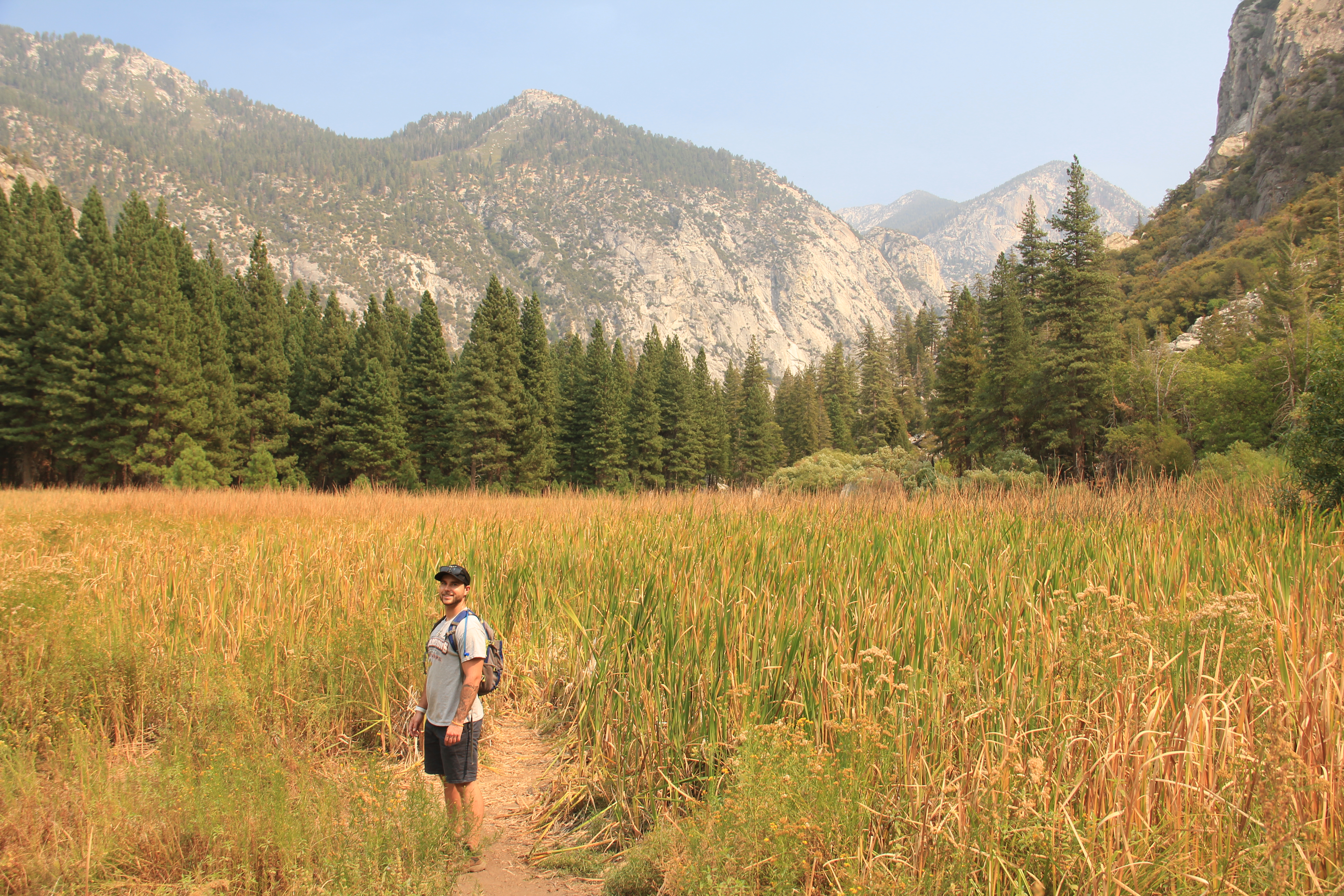
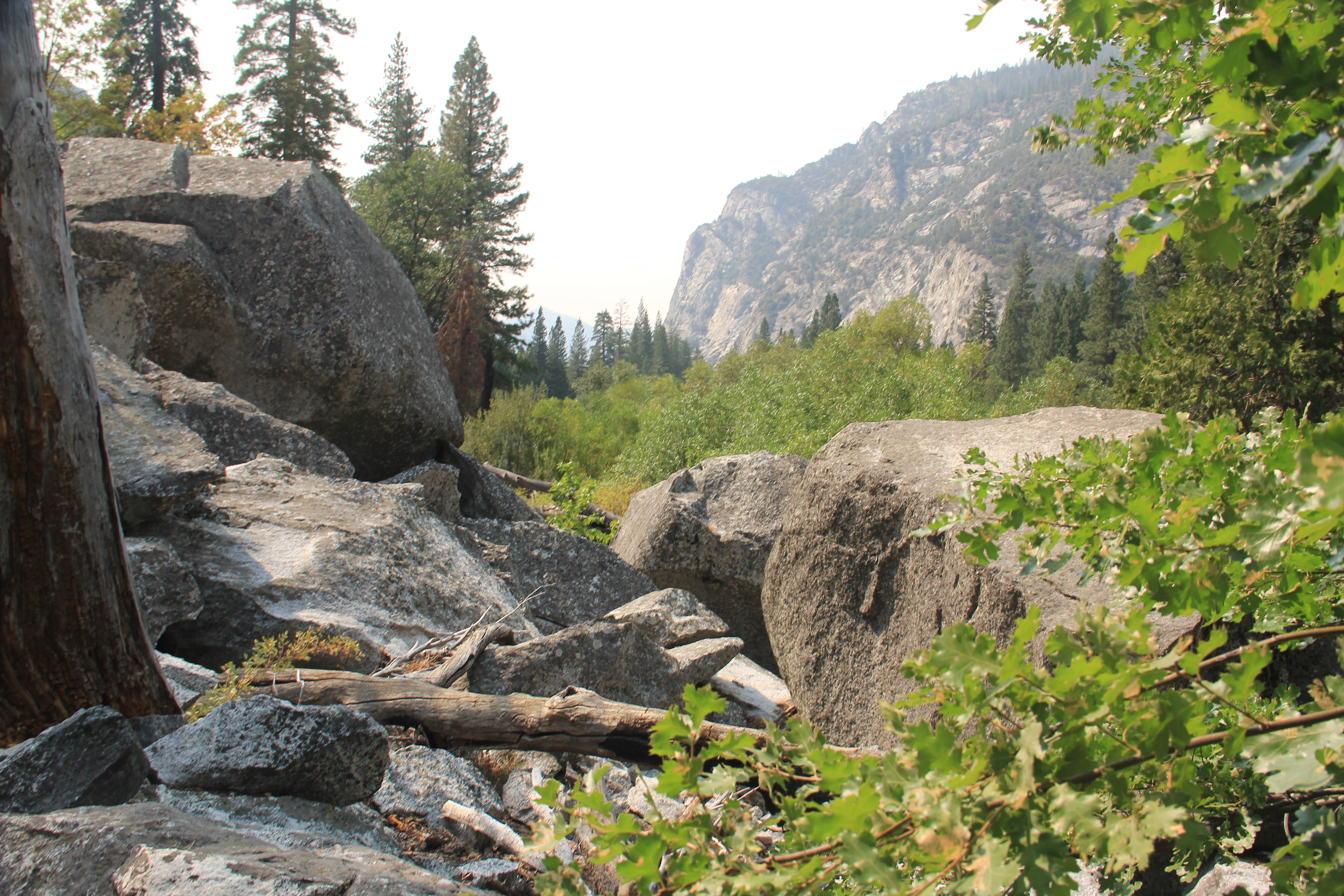
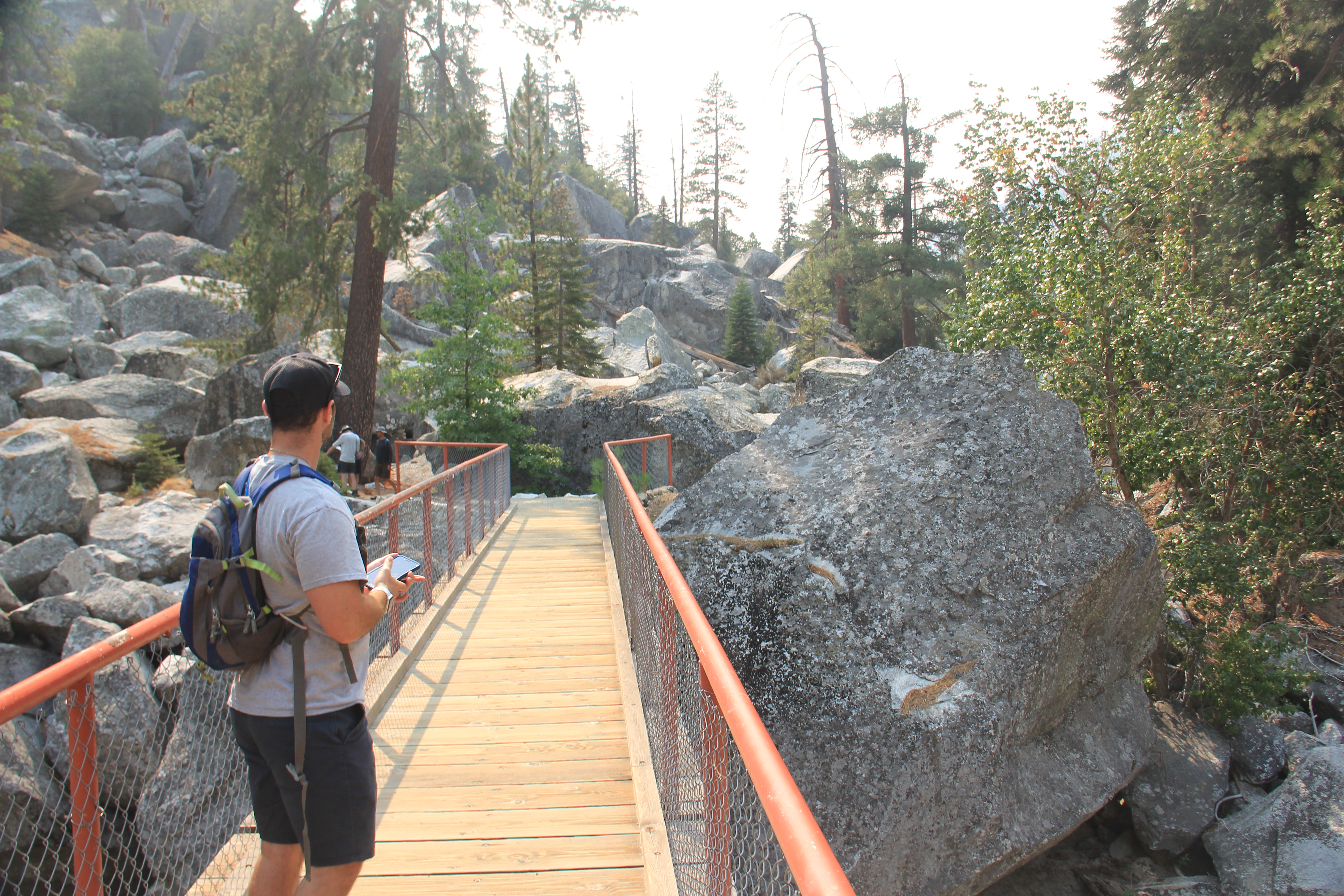
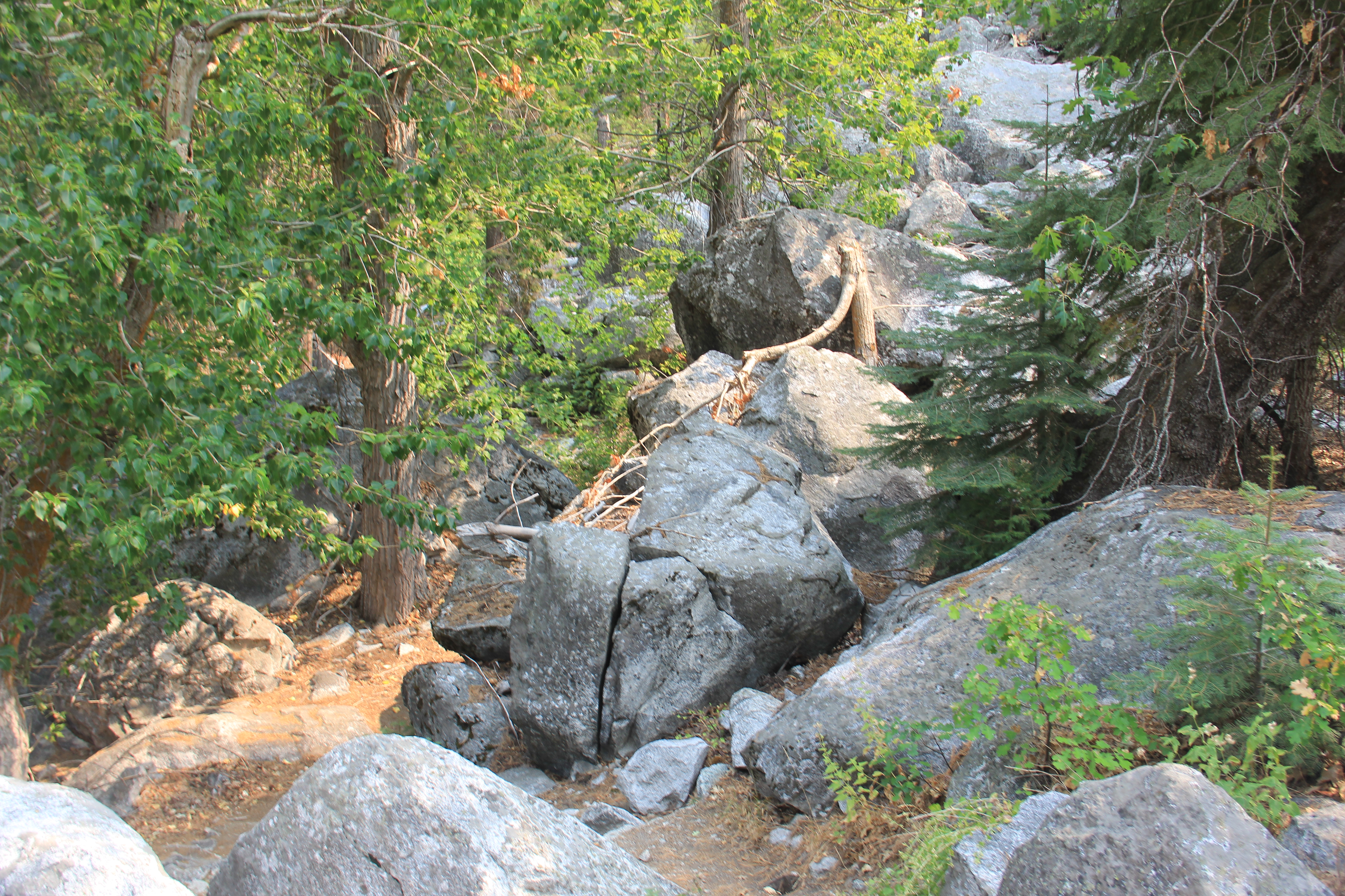
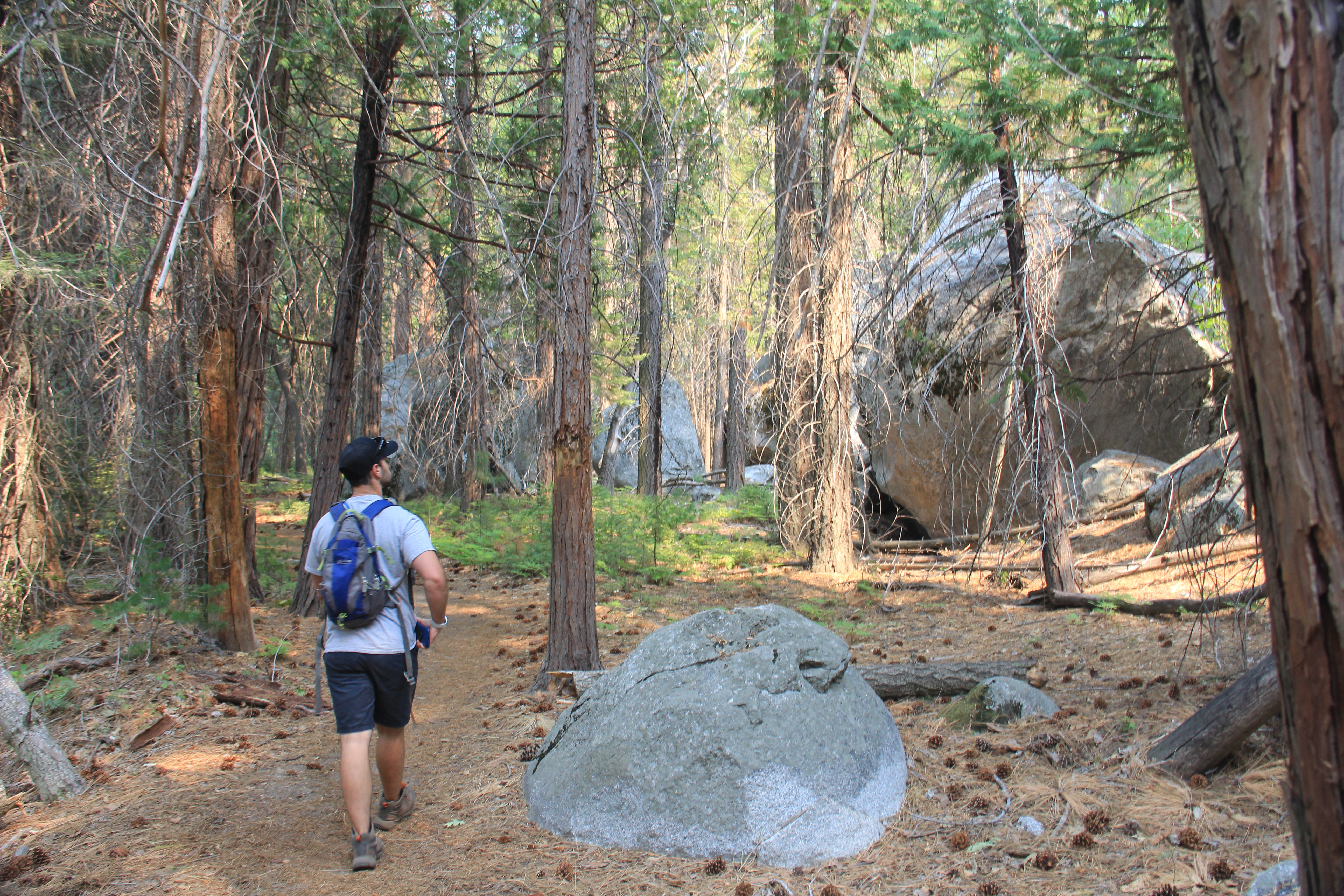
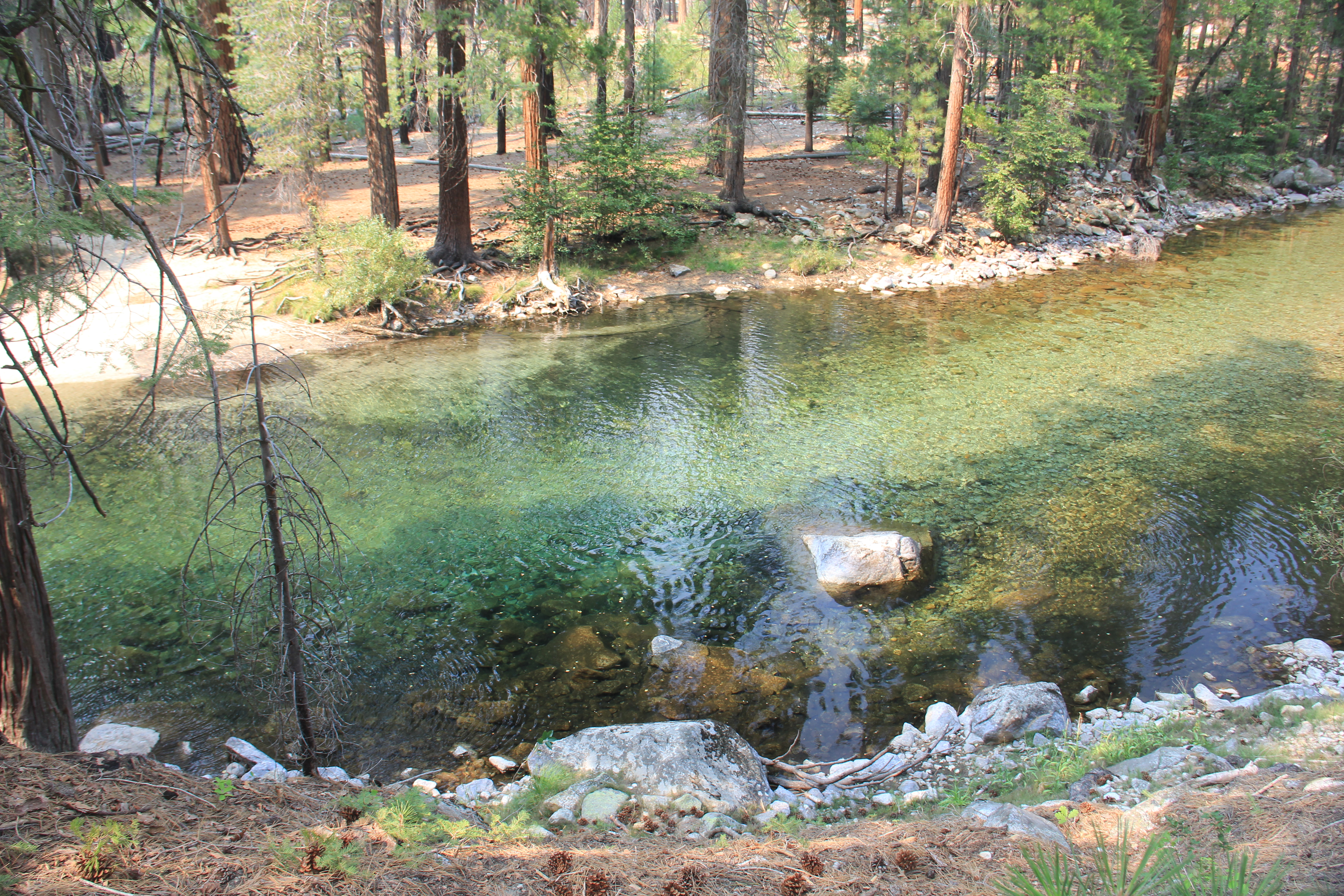
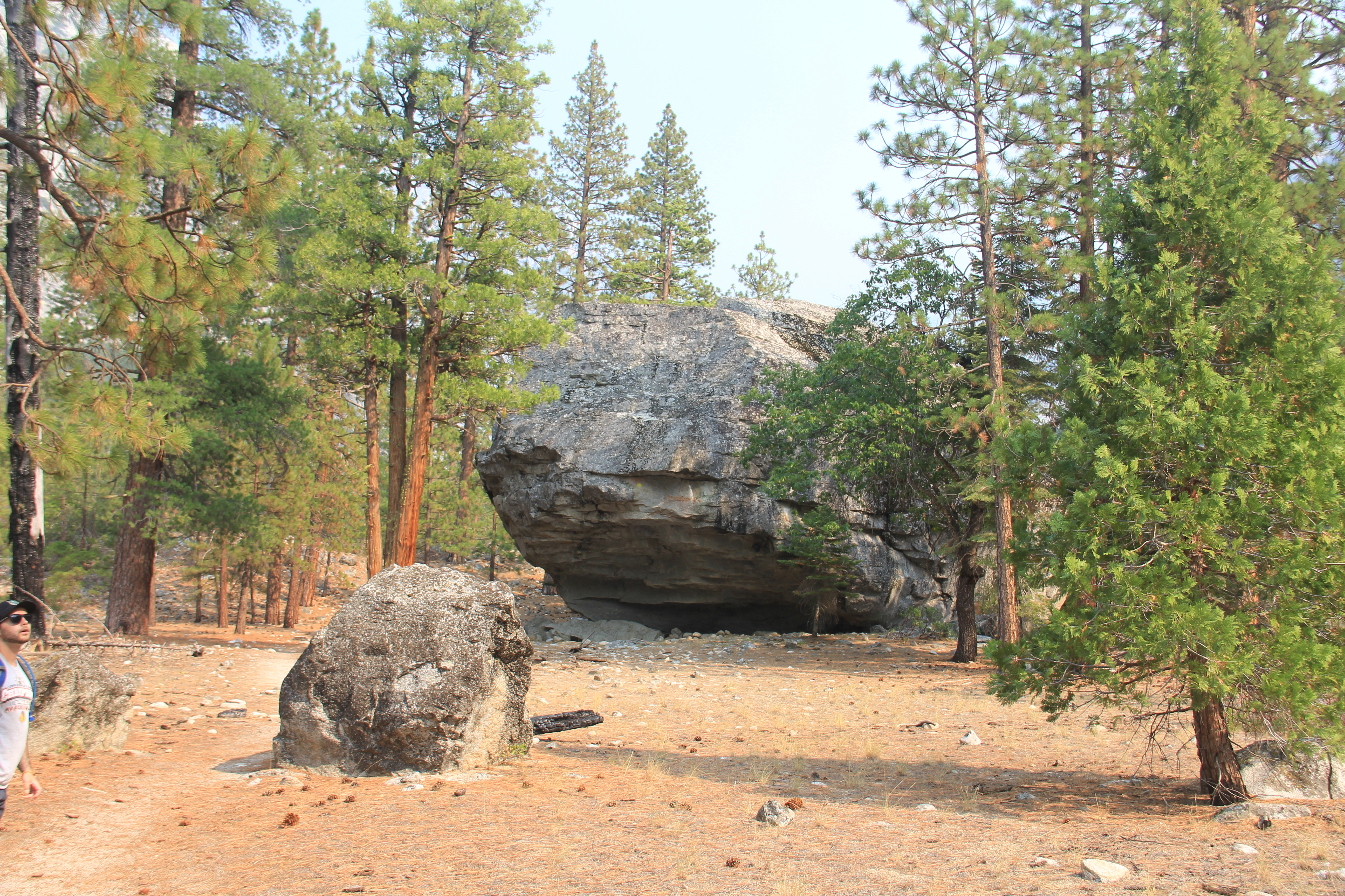
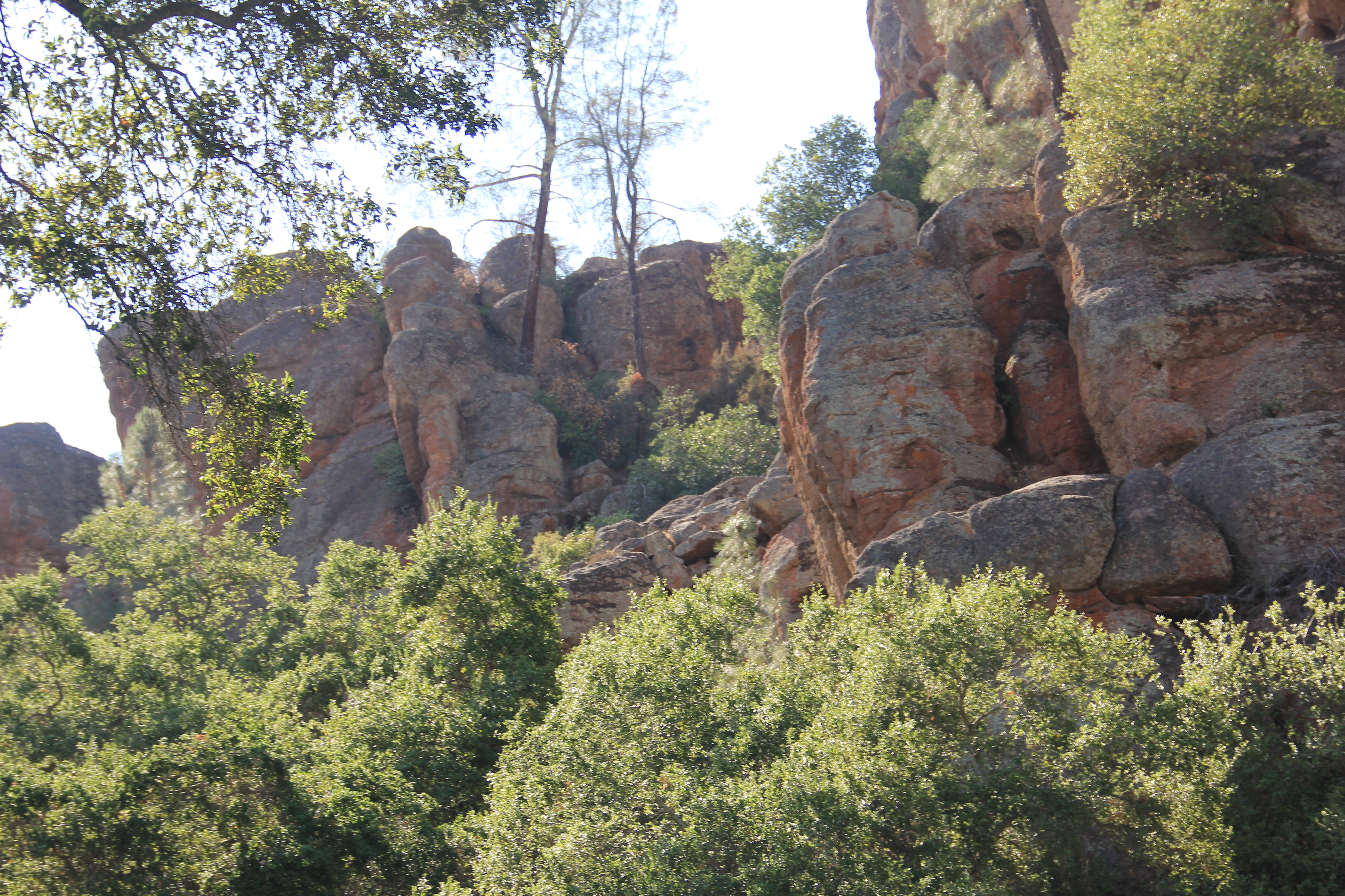
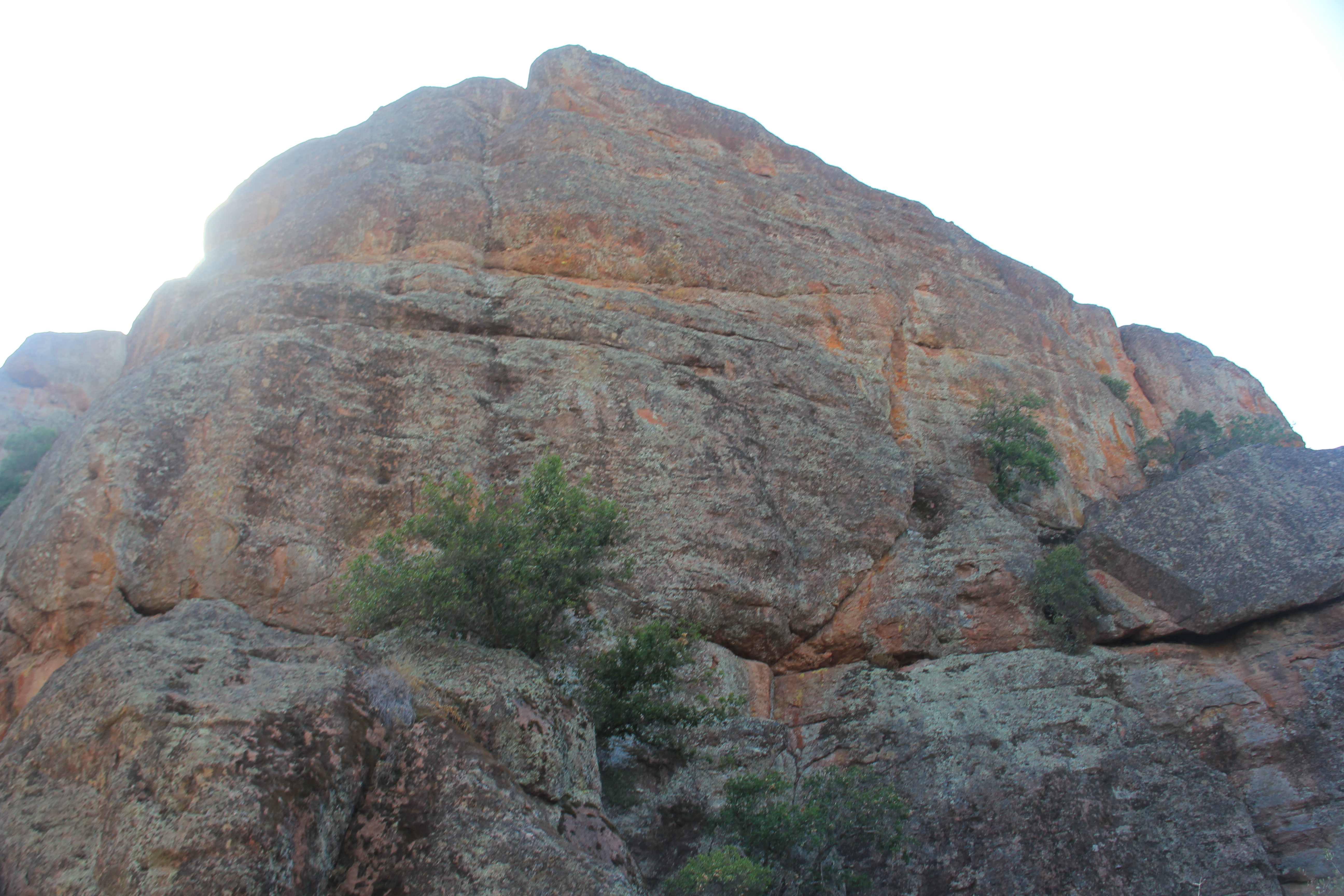
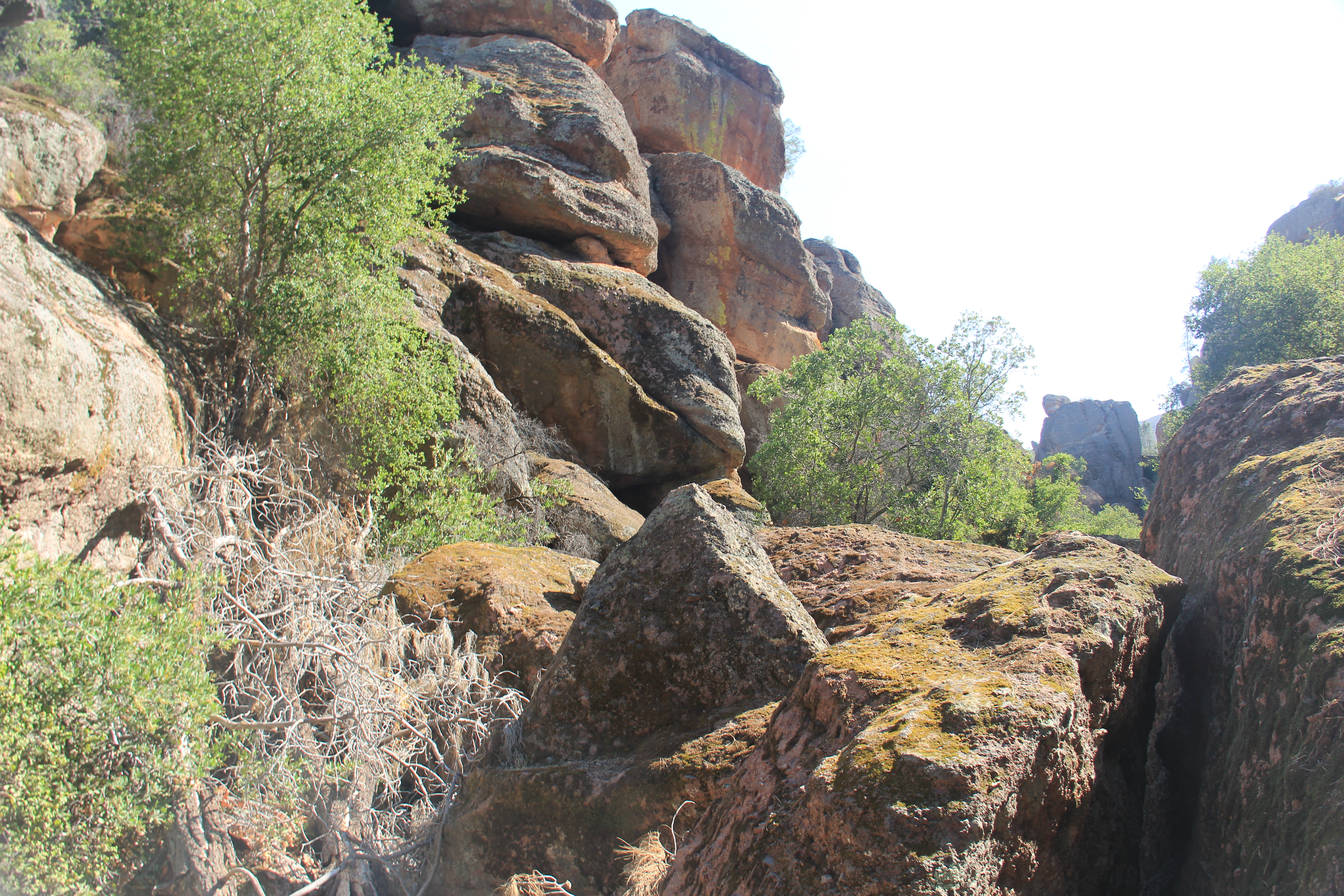
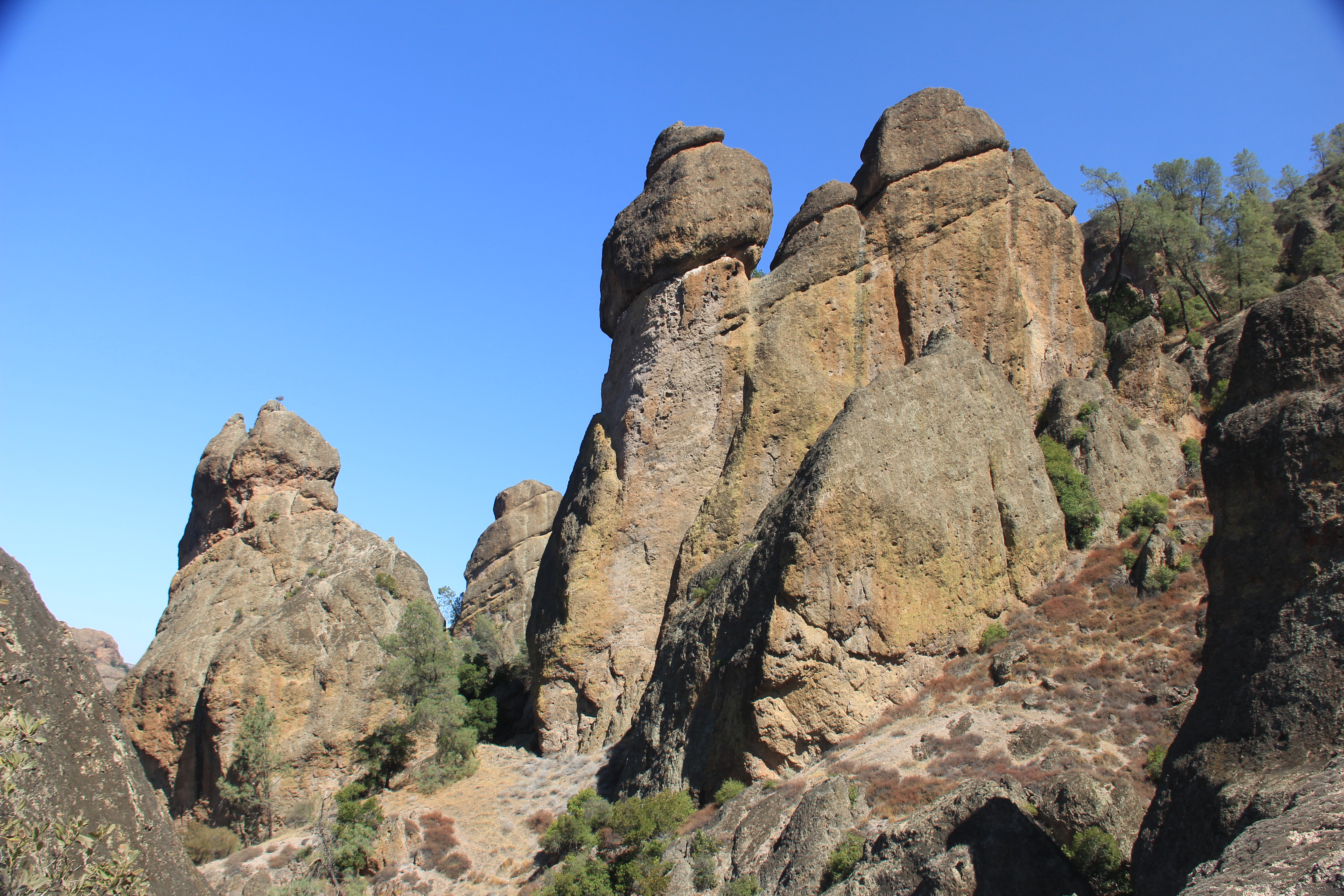
A totally different look on this side of the park. Lot's of nice views of granite faces and the meadow is strewn with tons of huge boulders. Imagine them tumbling down the mountain face. We hiked up through and around some of the boulder fields, very cool.
Zumwalt Meadow Trail and Side Trails

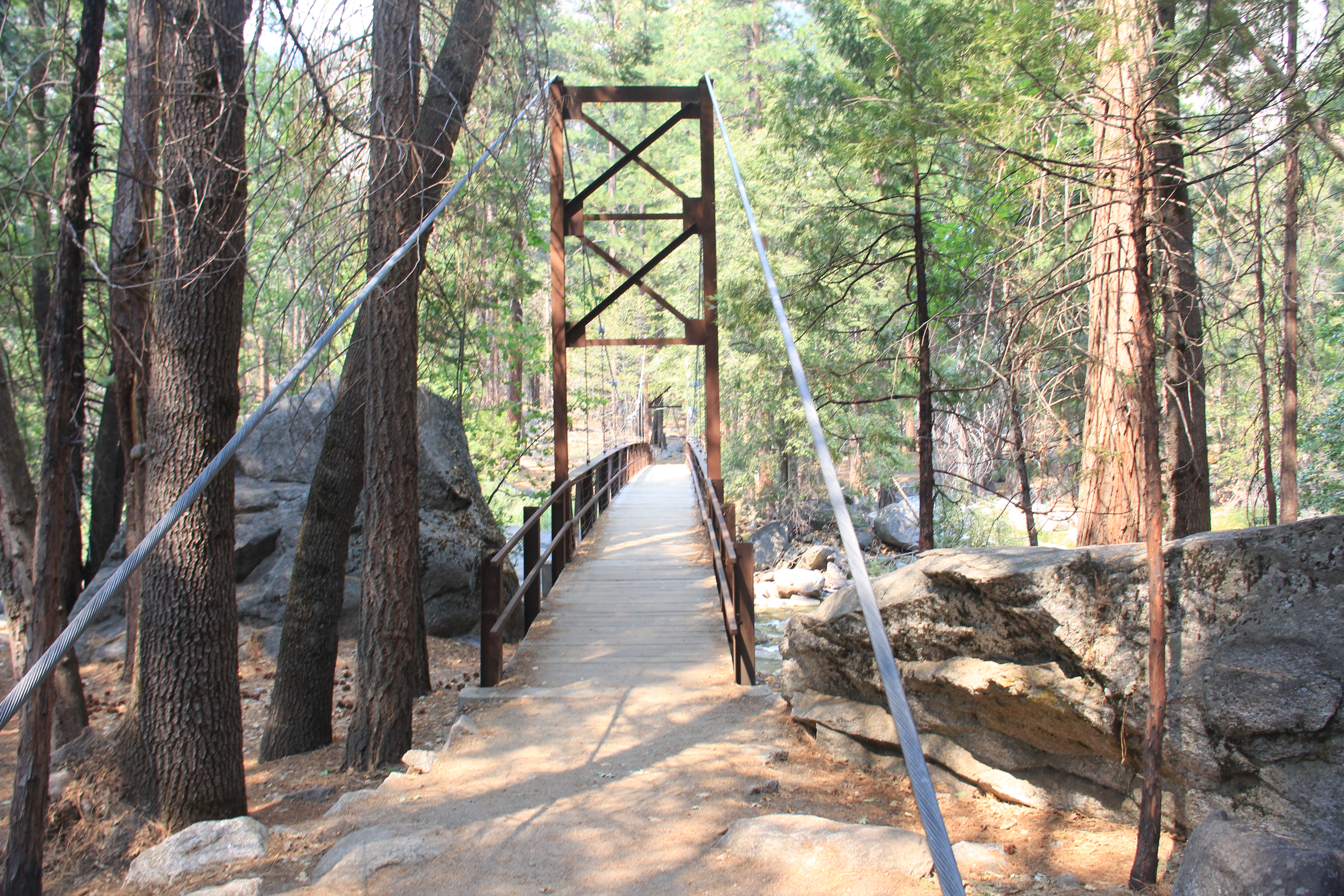

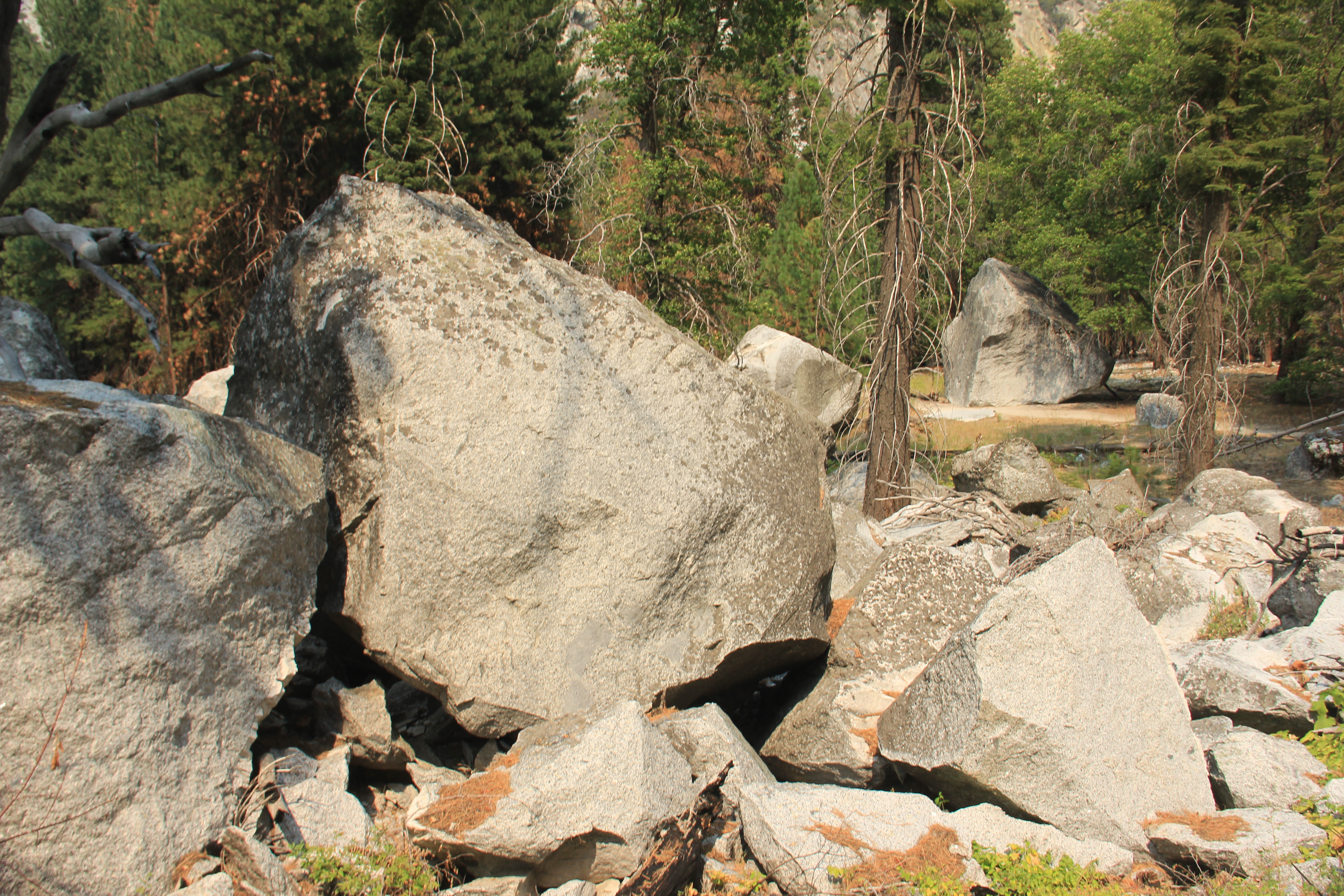
Kanawyer Loop with partial Bubbas Creek Trail
Another great trail in the Cedar Grove section of the National Park. More boulders to climb over and marvel at on the hike.


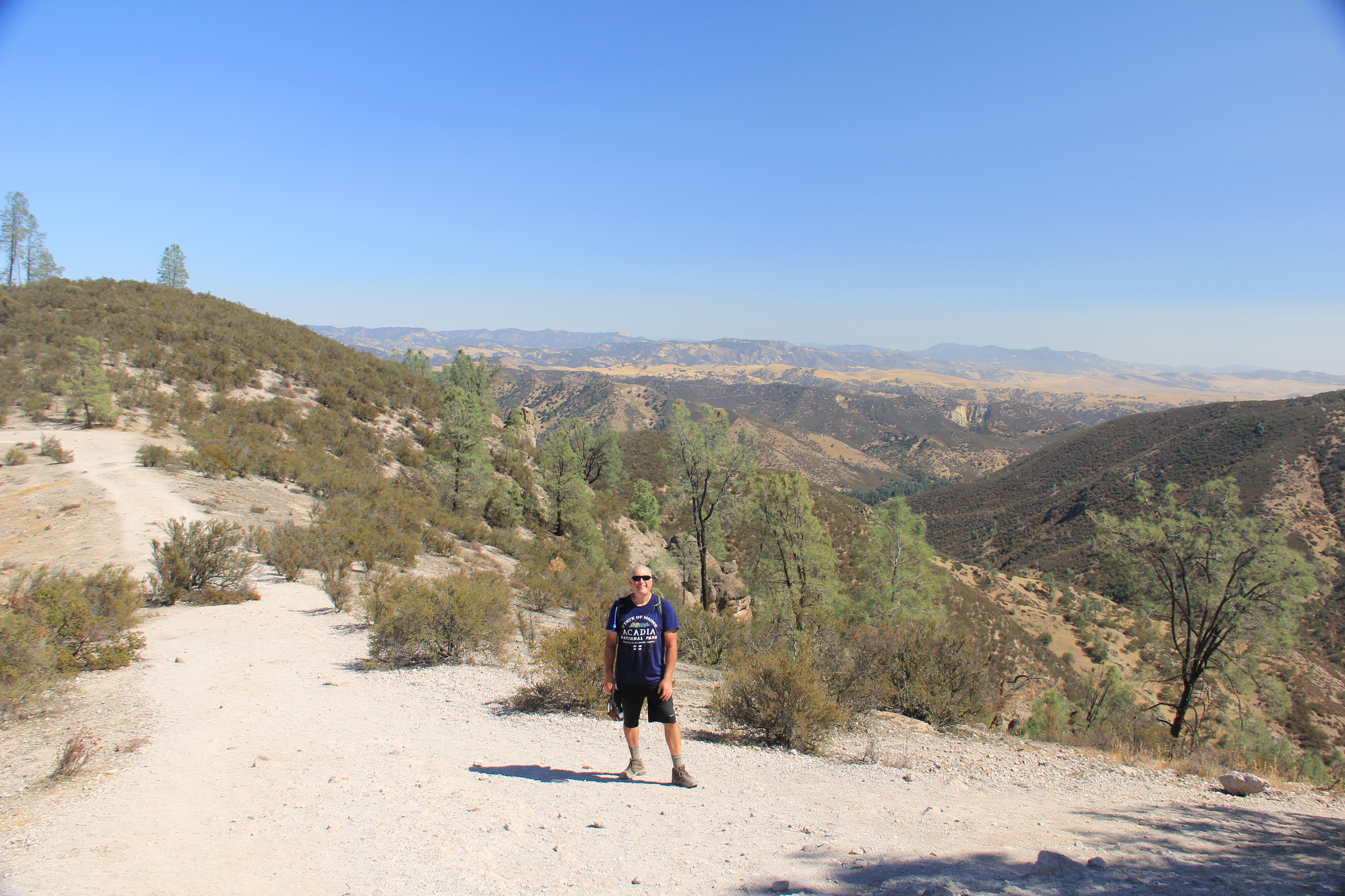
Scenic Byway
Drove the scenic highway again, 500' back to 6500' and more pictures. It was Jake's day to drive so he got A LOT of mountain driving in today. All those hairpin turns!


We then headed to our Airbnb in Clovis just outside of Fresno. This was supposed to be our launch point for King's Canyon but, due to Sequoia NP being closed, it is just our way point to heading to Pinnacles NP tomorrow. This Airbnb was much better equipped with a full kitchen.
We had salads, beer and snacks and watched a movie.
Wednesday, Sep 15th
Weather: Really nice again.
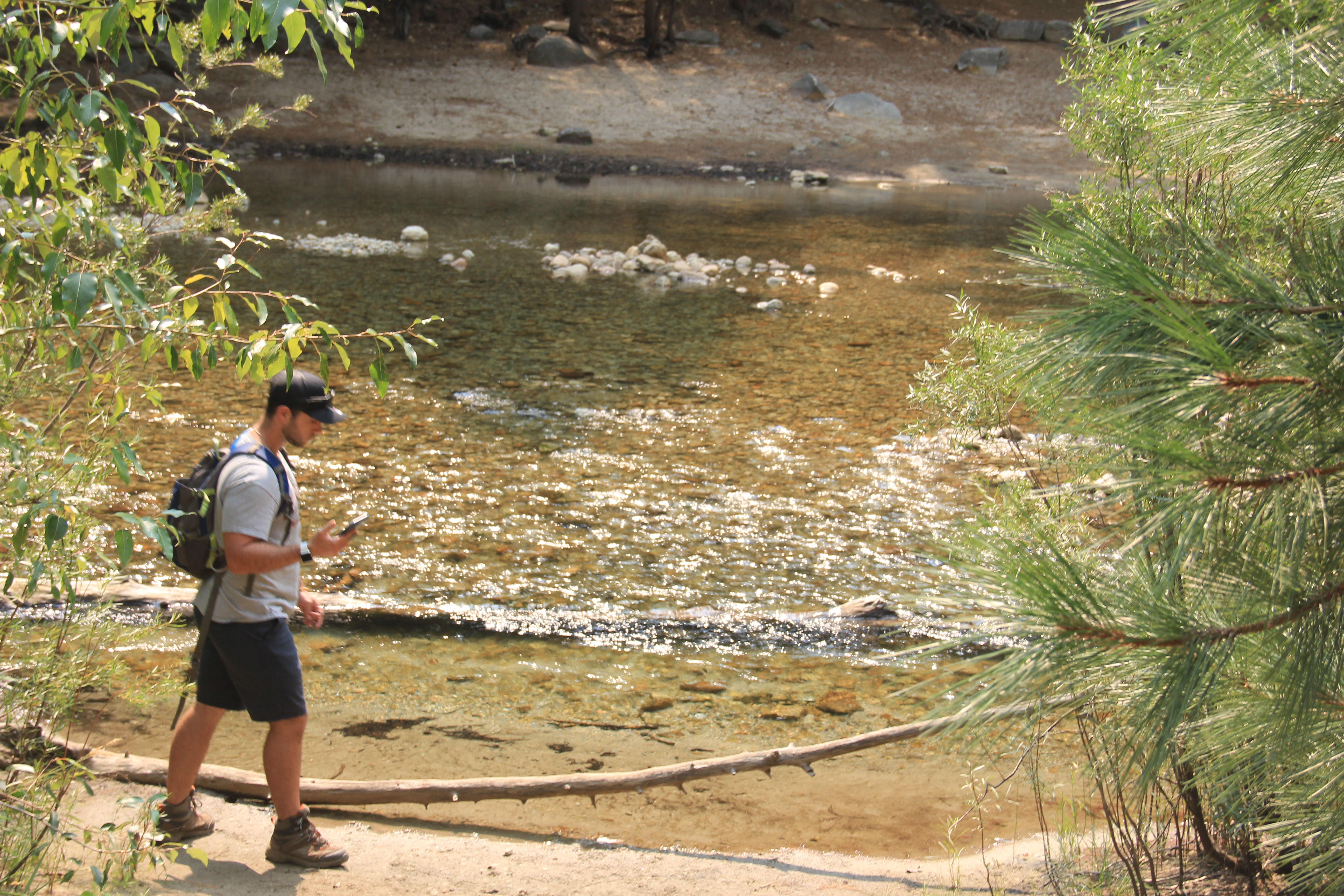
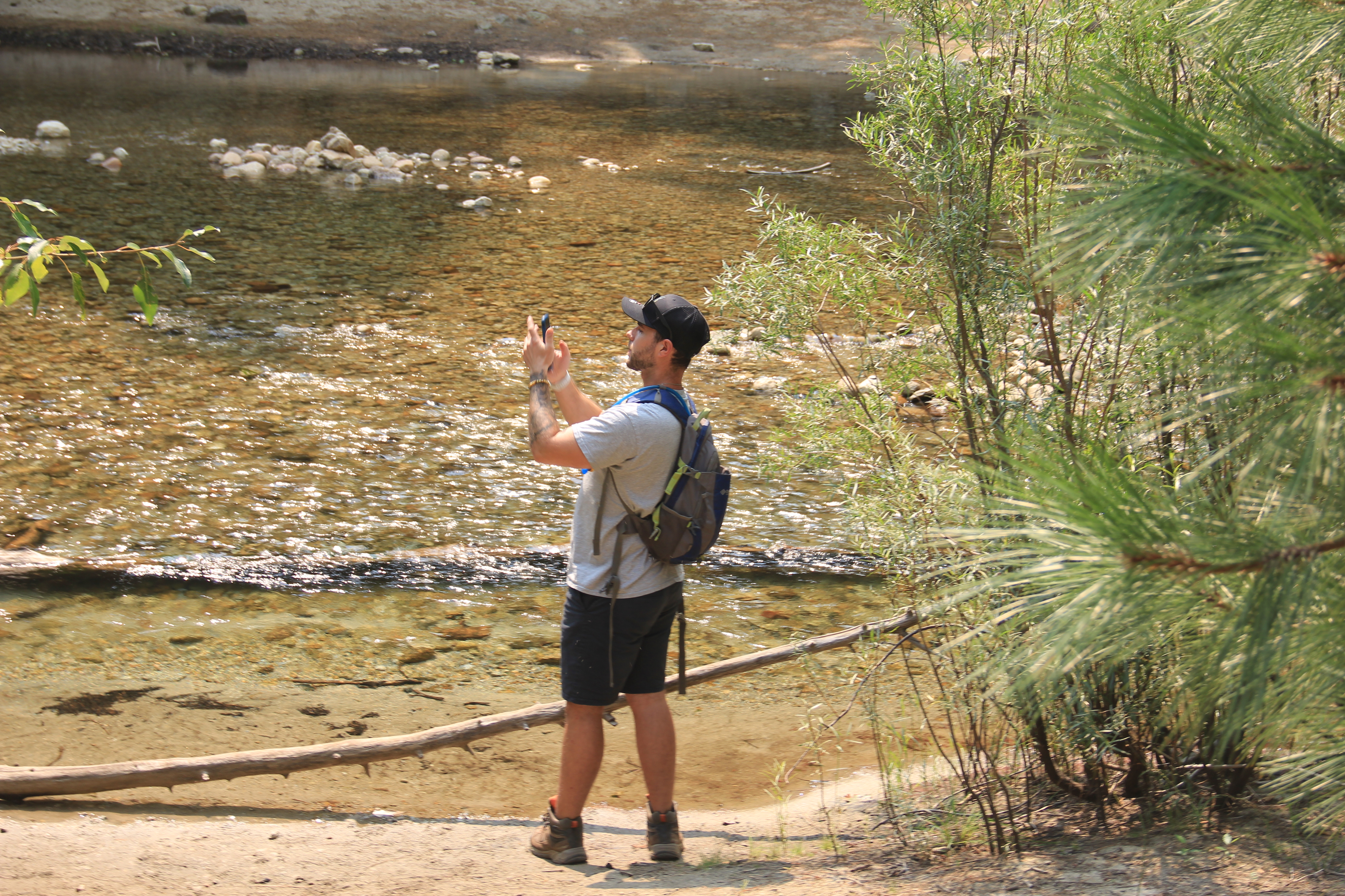
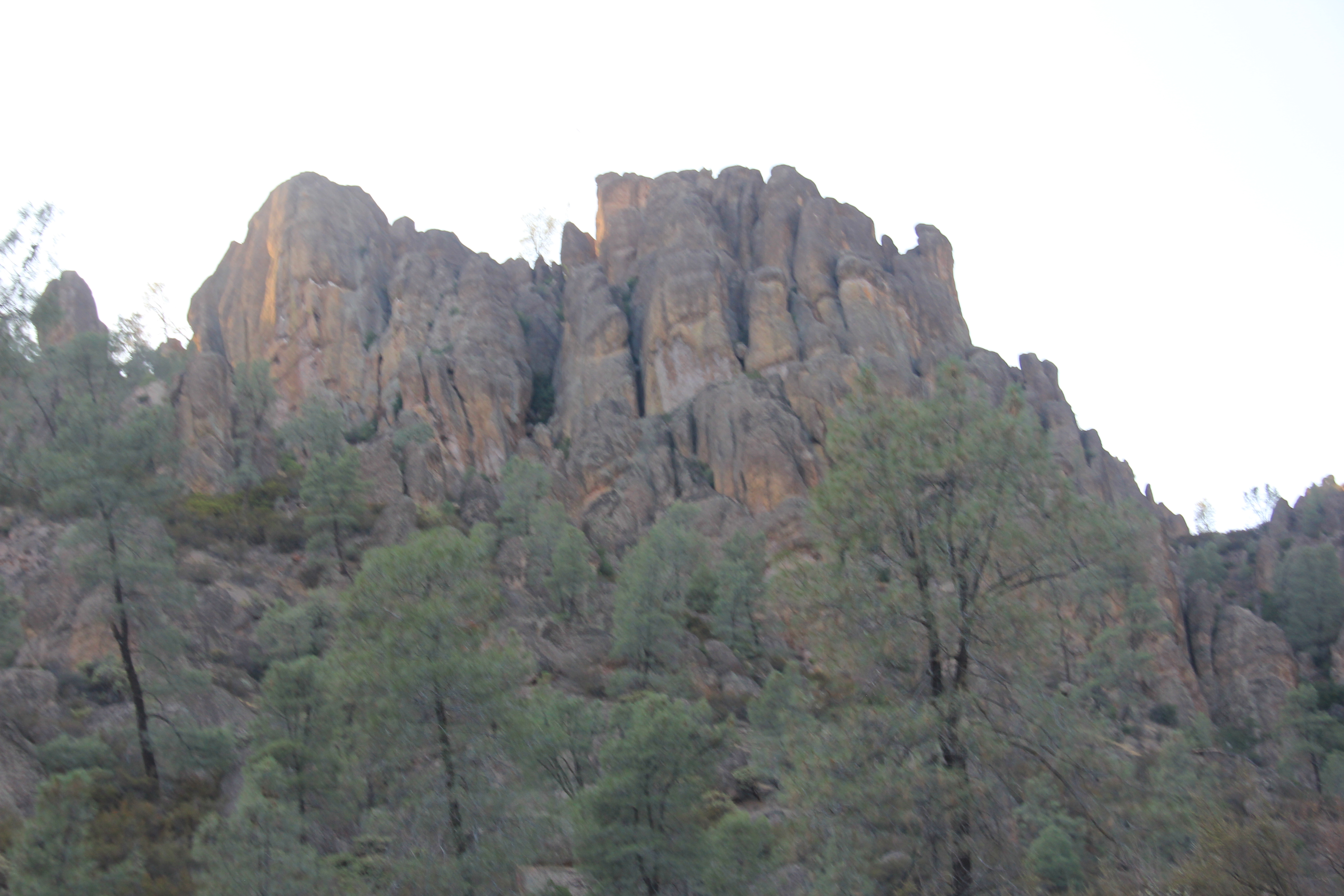
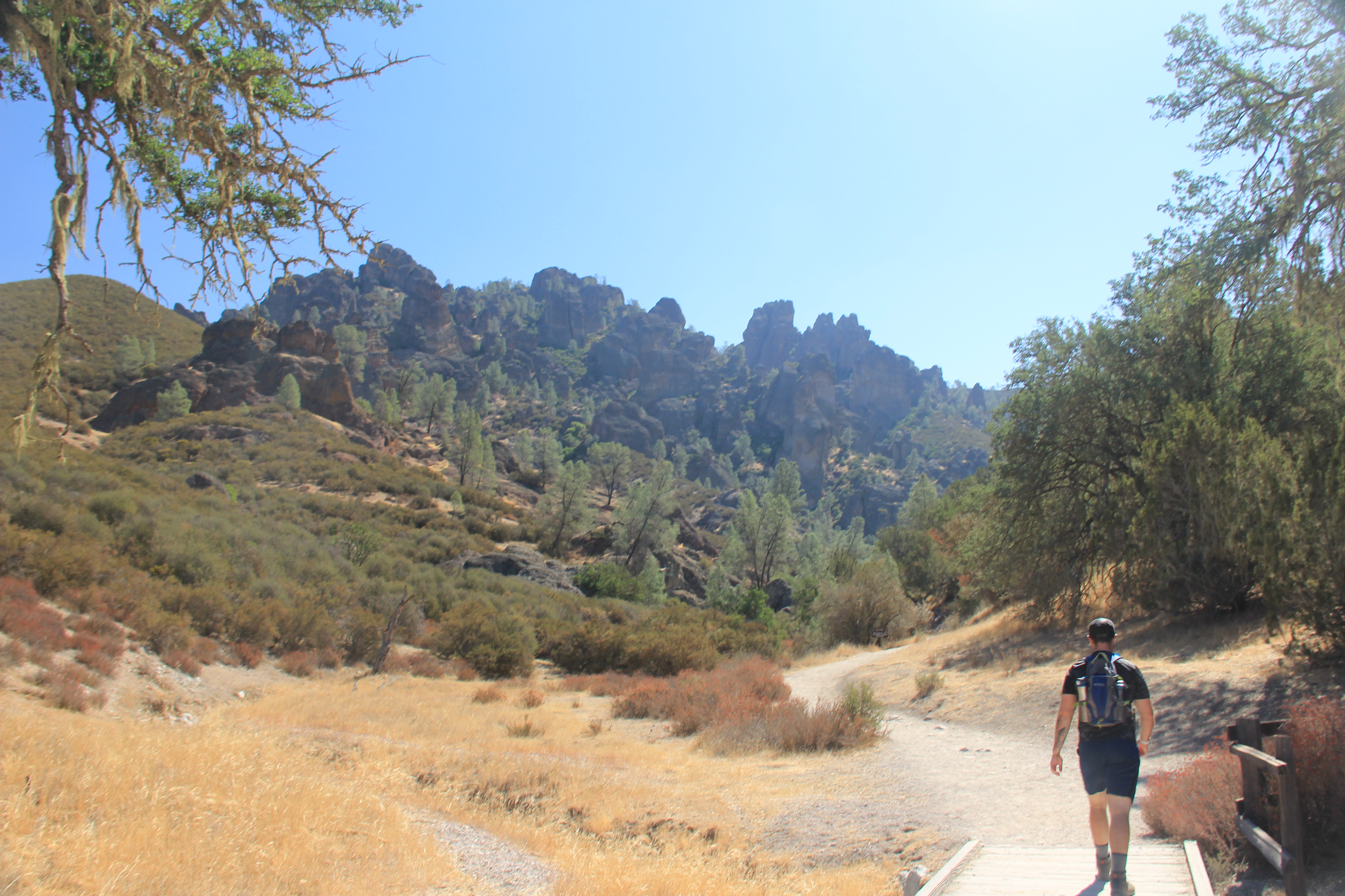
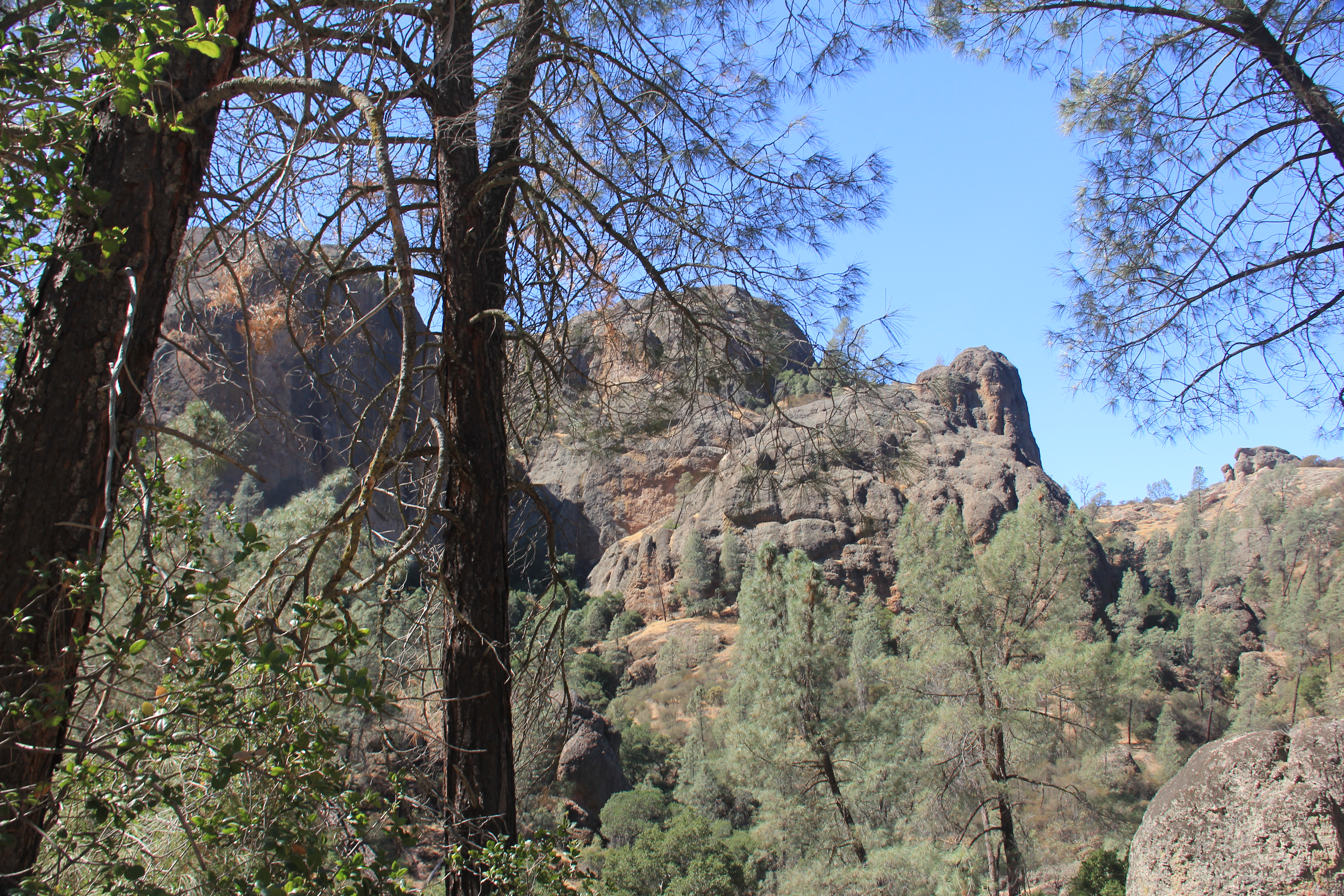
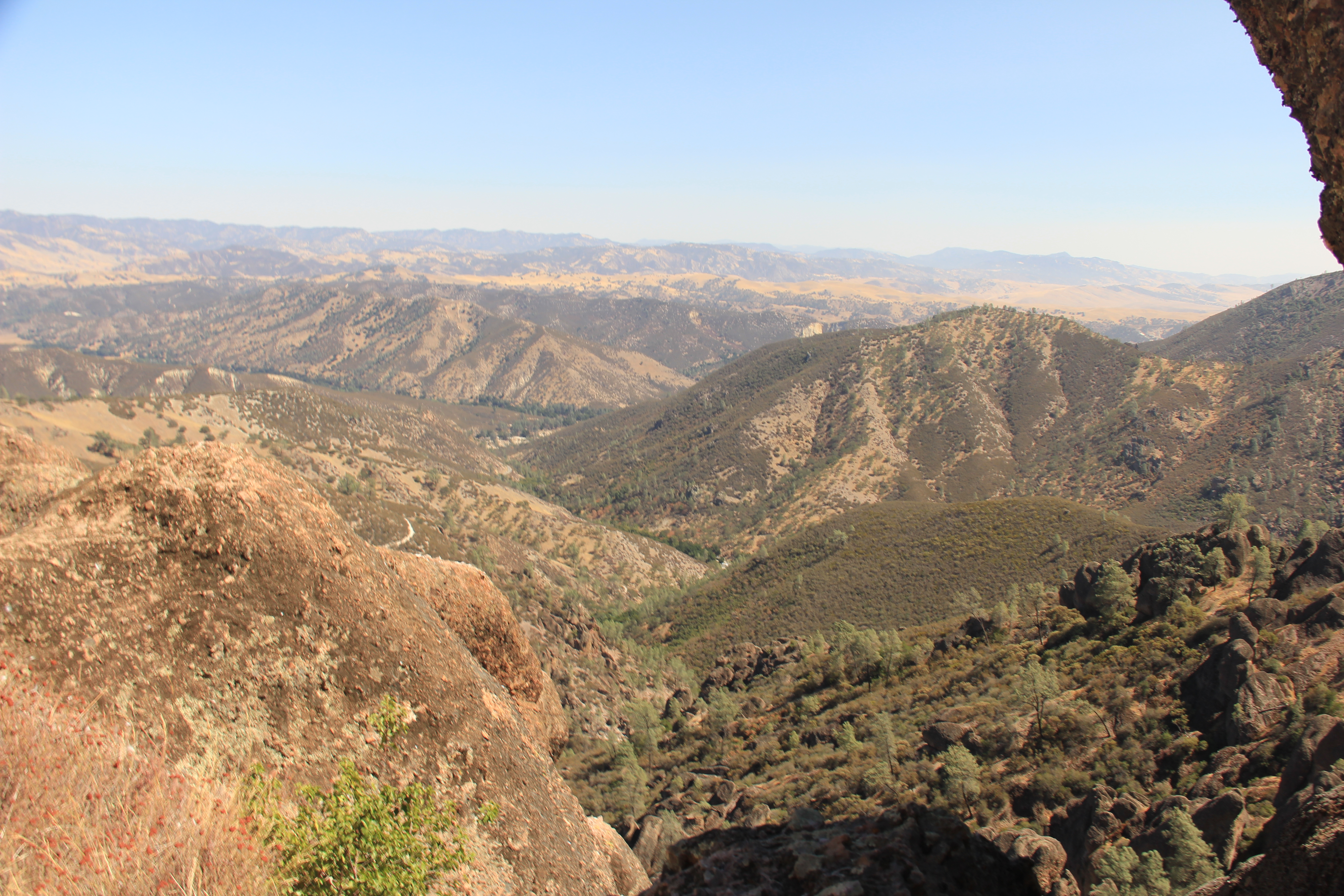
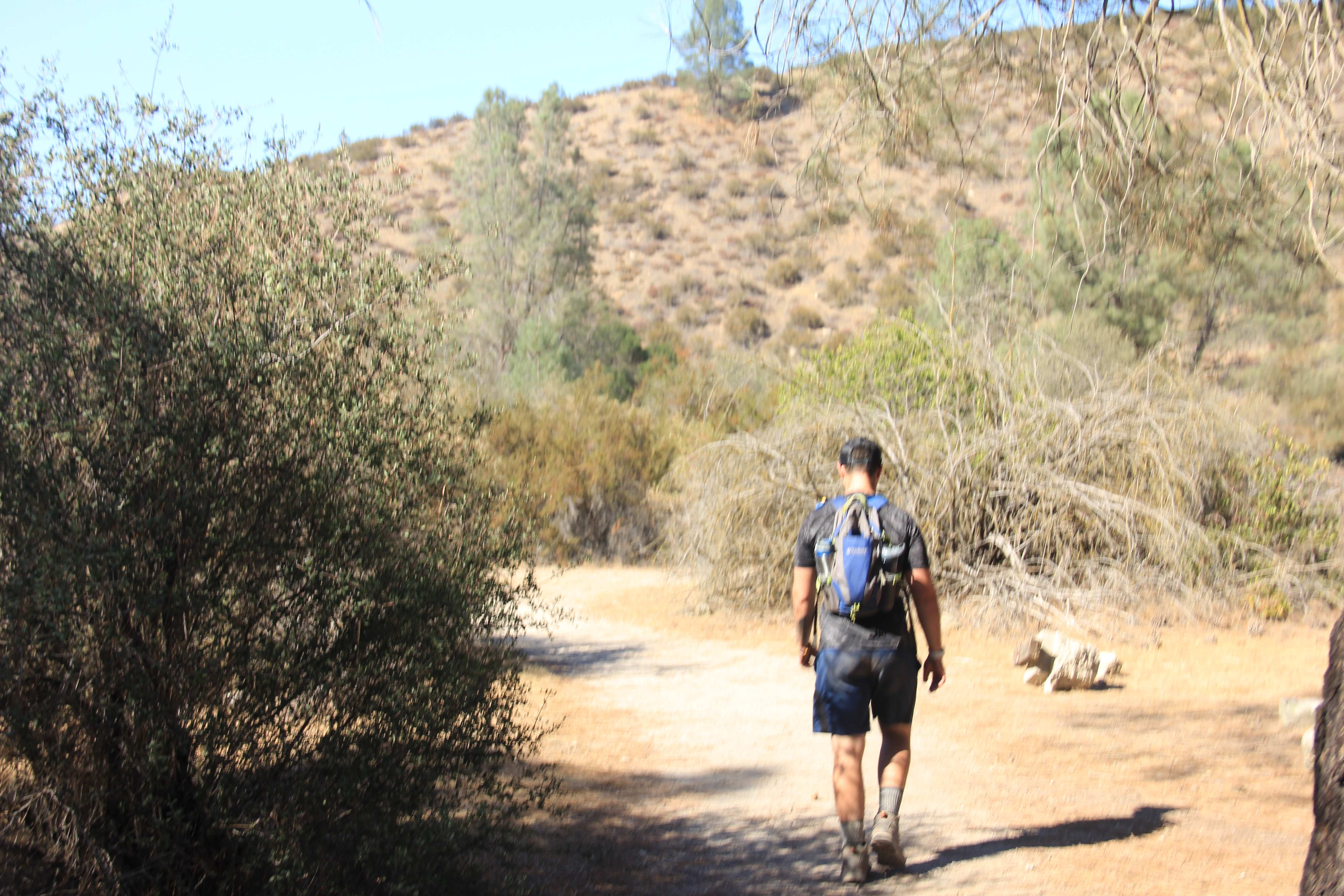
We slept in cooked up a bunch of eggs, packed up and headed West to Pinnacles NP. The drive was crazy and unexpected. Thankfully/Luckily, we stopped to fill up at a gas station heading out of Fresno. I didn't realize the next 200 miles were so desolate. I expected occasional towns along the way. Well, California's interior is not like that at all. Going from Fresno to Pinnacles NP took us through mountains. No cell phone coverage, spotty GPS, lots of winding roads. I got a little stressed out we lost our google maps navigation in the middle of nowhere. All desert, switch backs through the mountains and barely any homes or ranches. We did find our way to Pinnacles National Park but with no cell phone coverage, didn't have a clue how to get from the park to our hotel in Soledad, CA. Turns out, this is another park with two sides. We entered from the East. Thankfully, we met a ranger at the second ranger station who helped us with our path to our hotel and our hiking trails.
It was already late in the day when we finally got to Pinnacles so we had a quick lunch and did a couple of nice hikes. Both lightly trafficked.
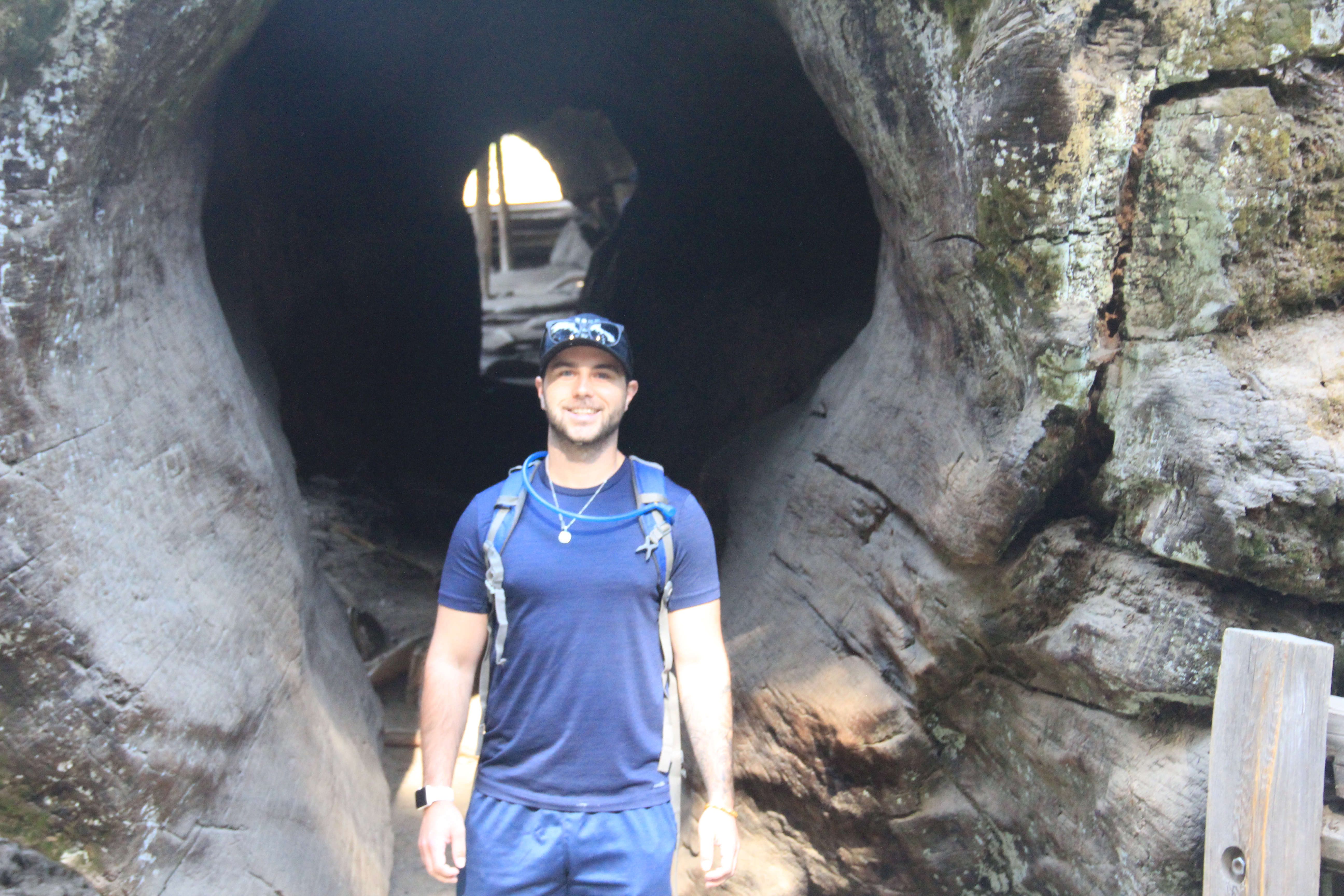
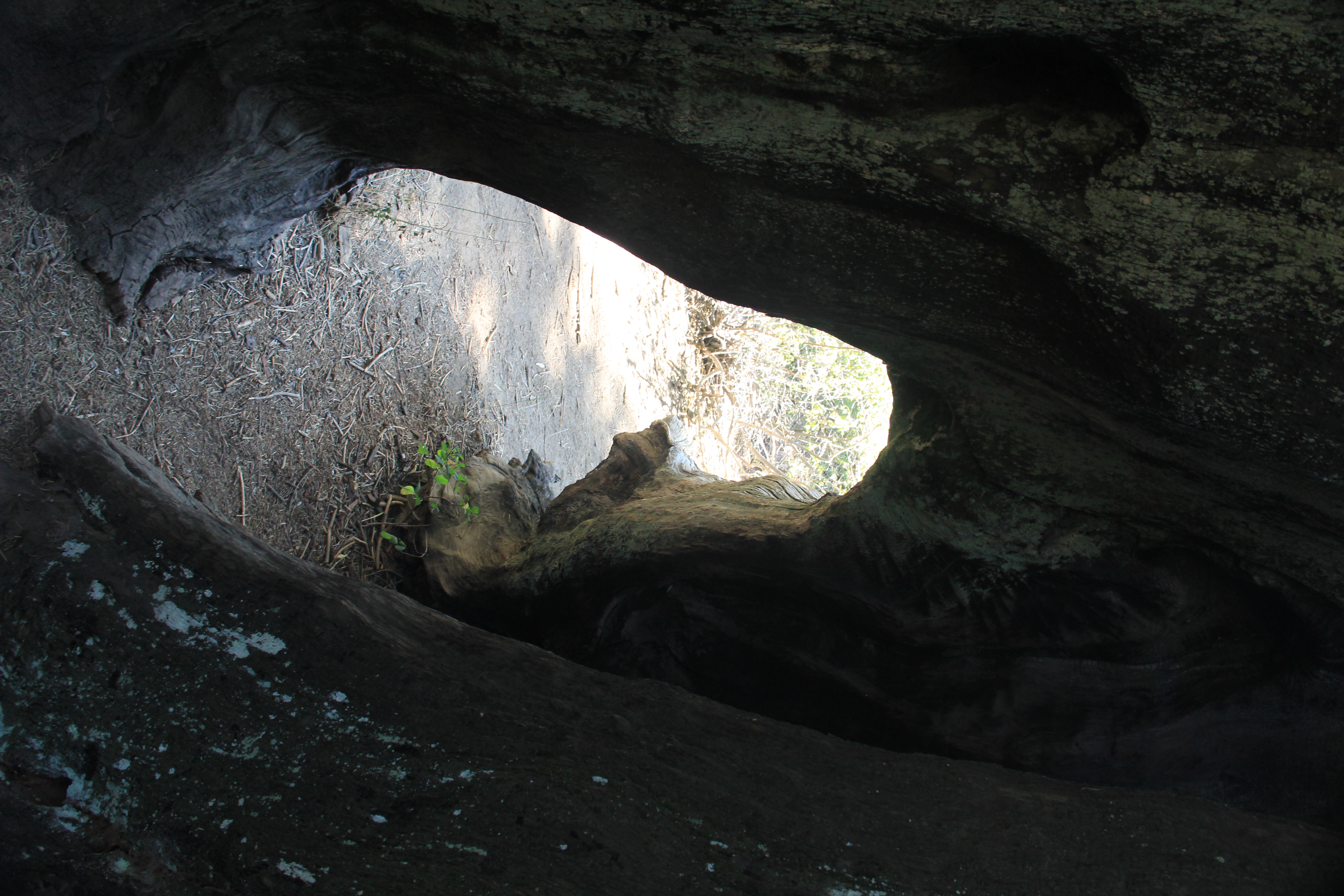
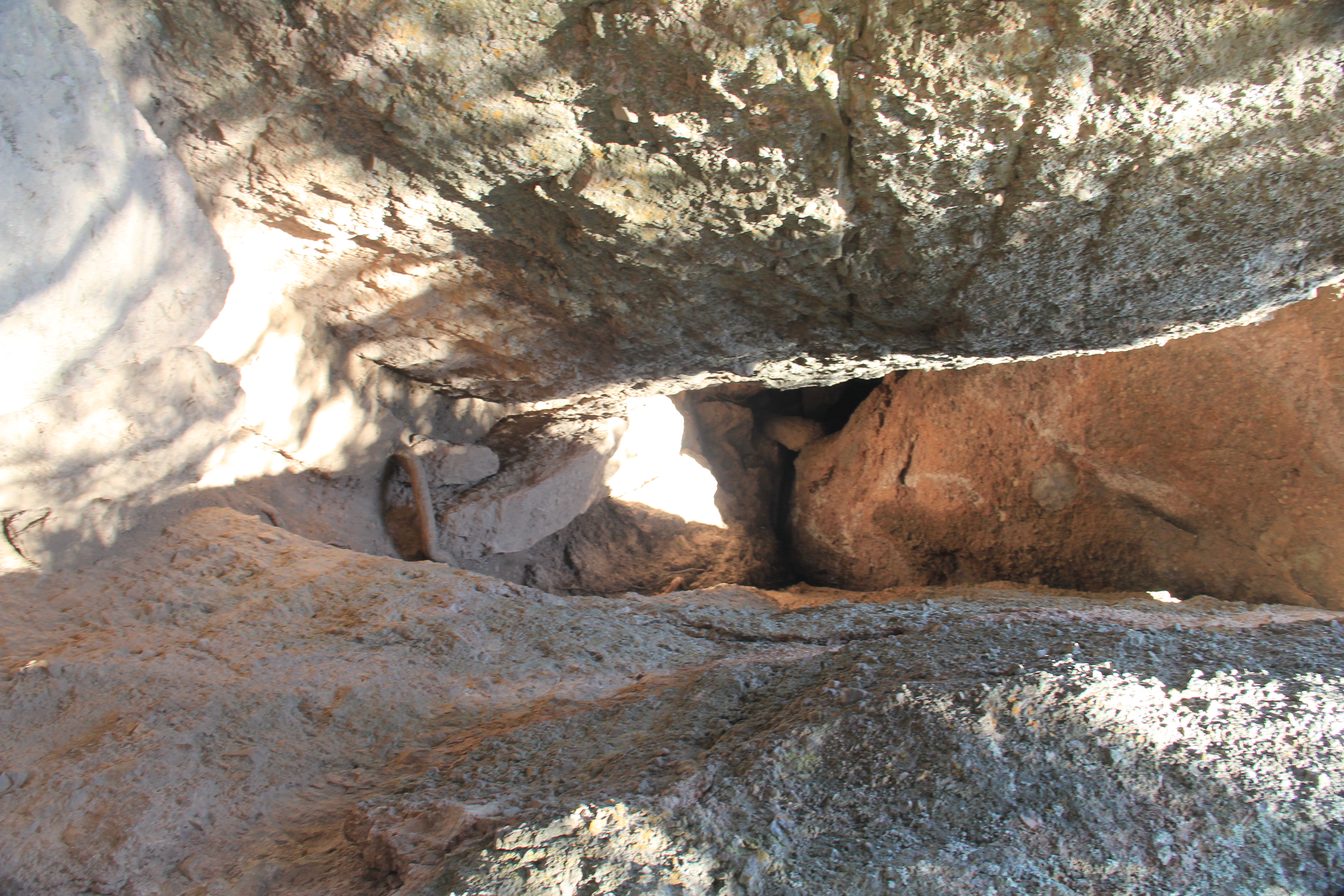
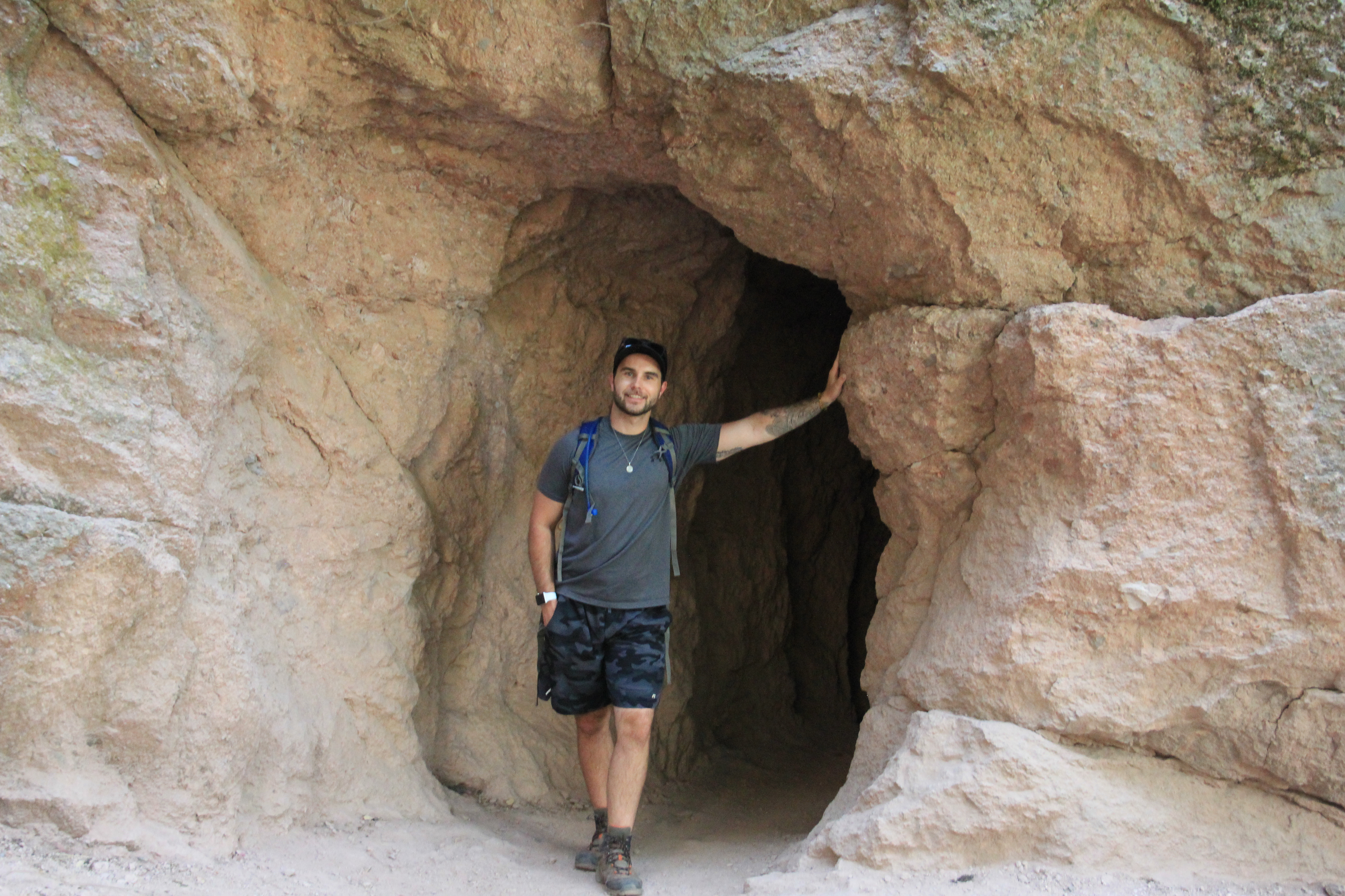
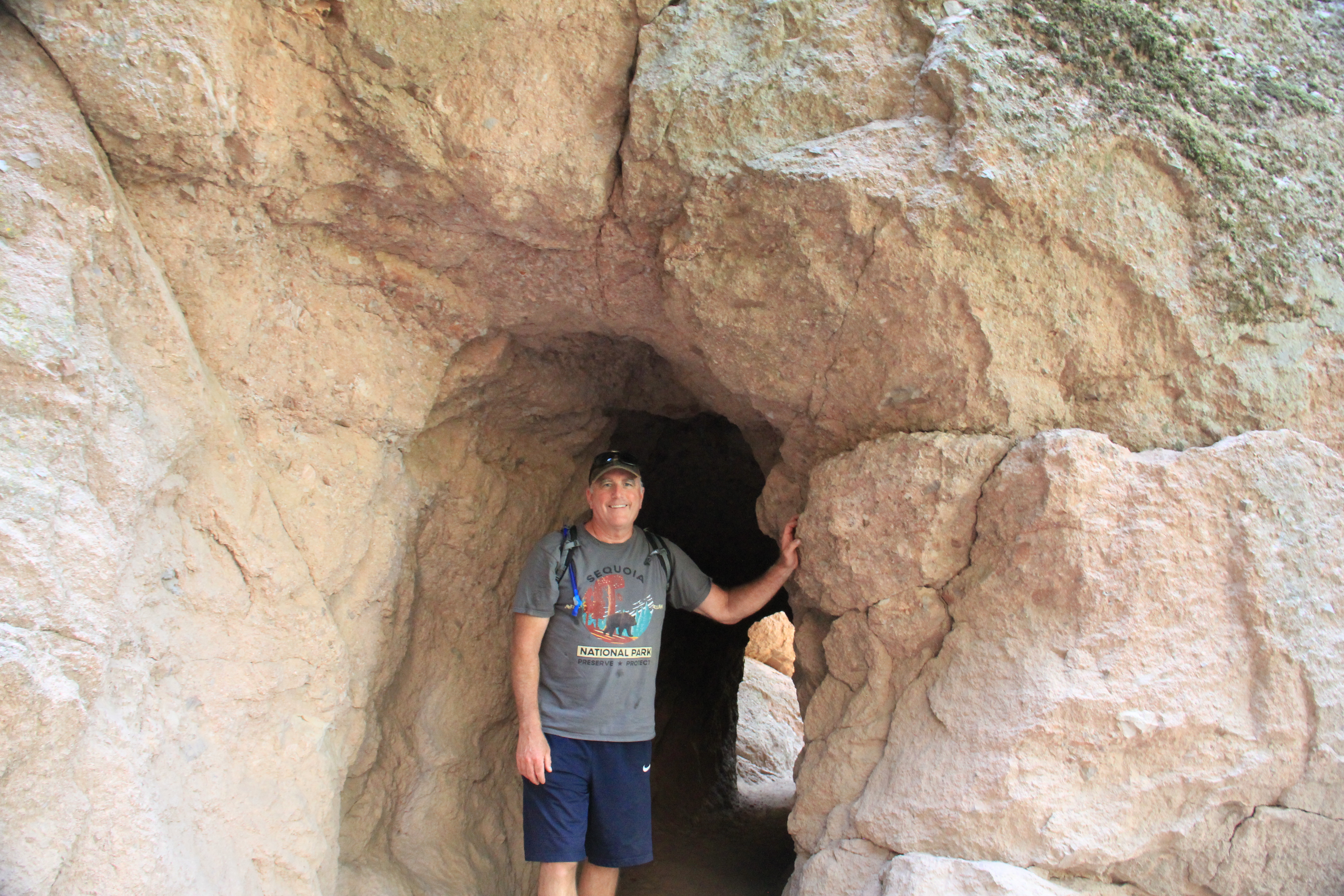
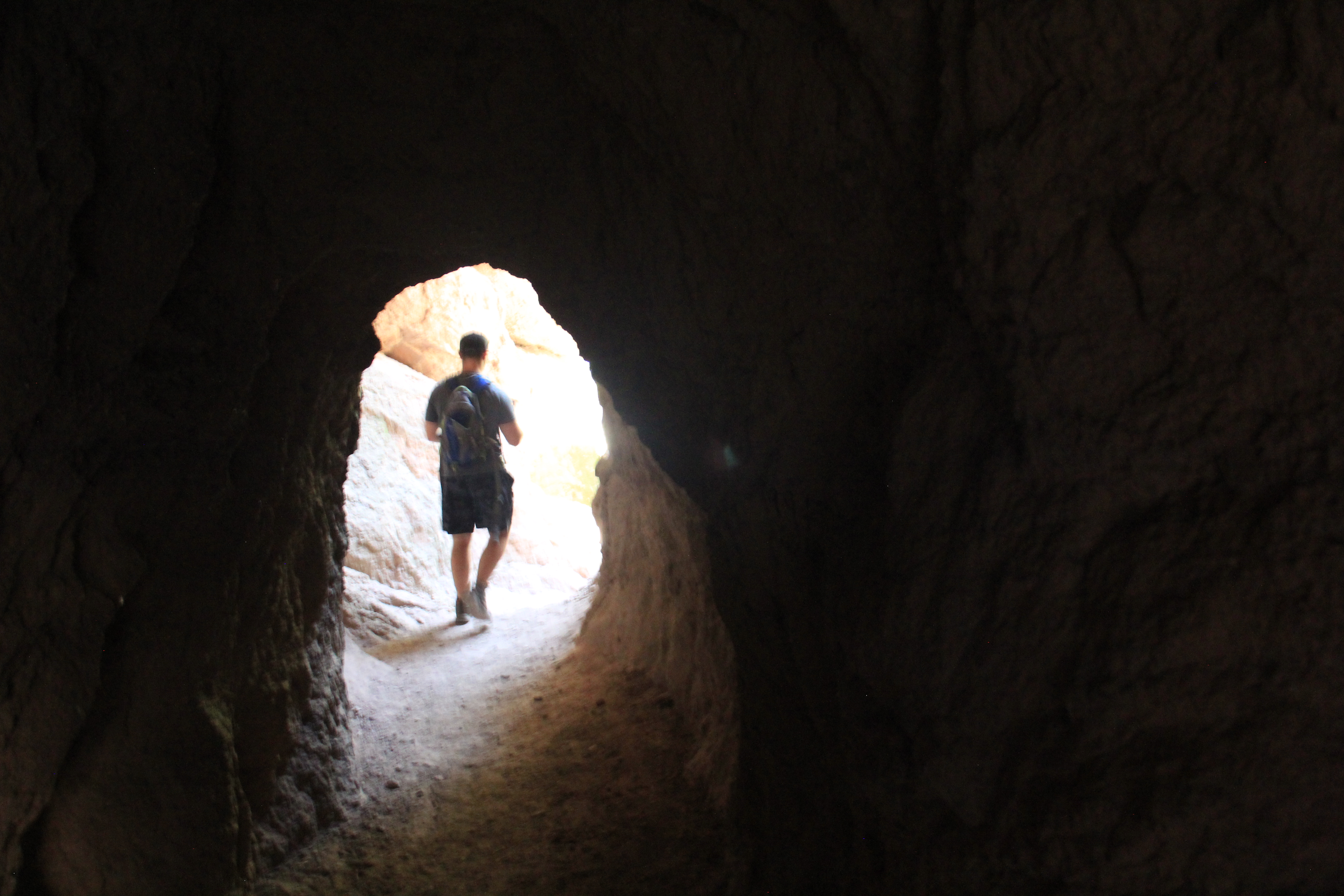
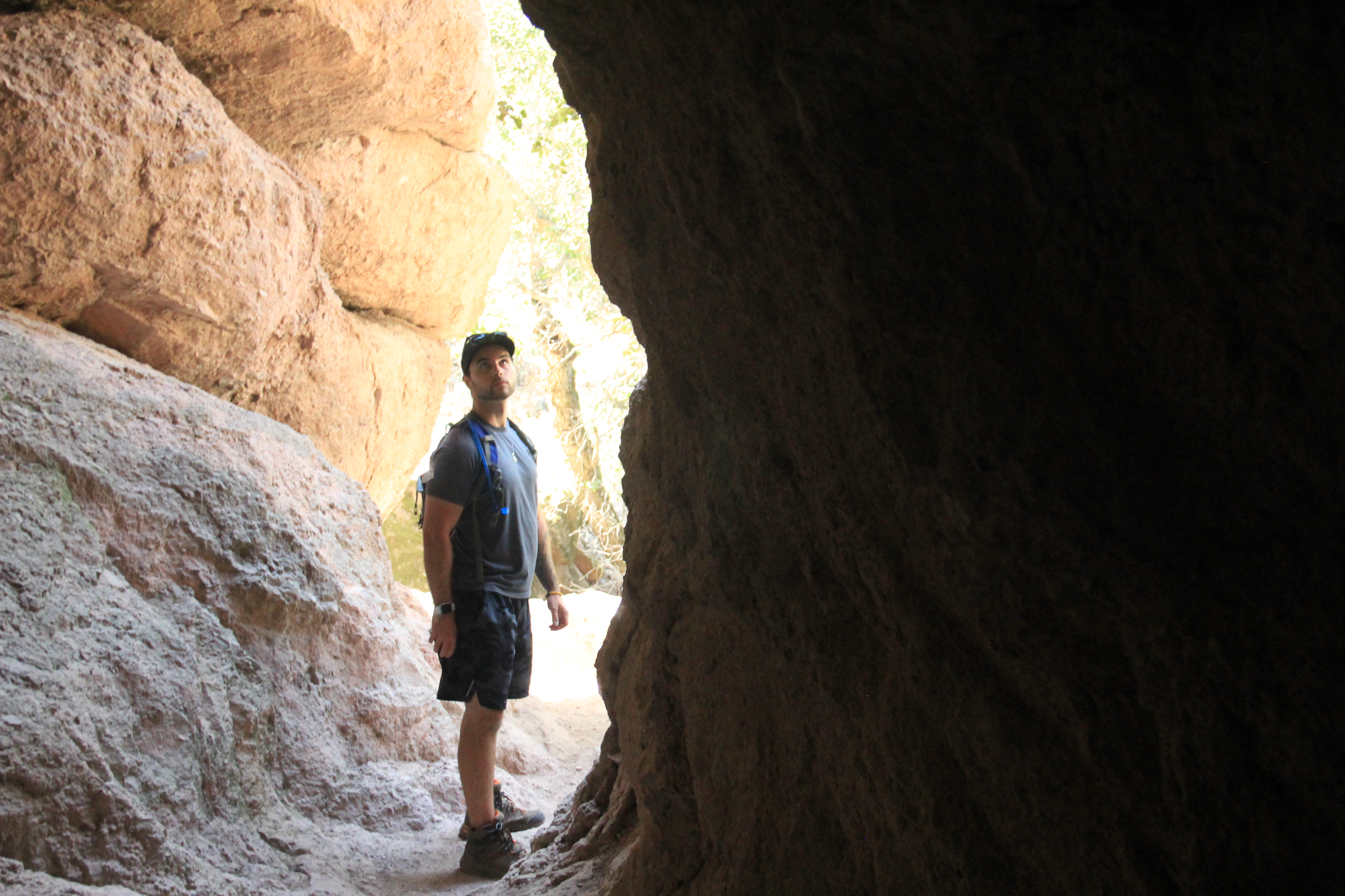
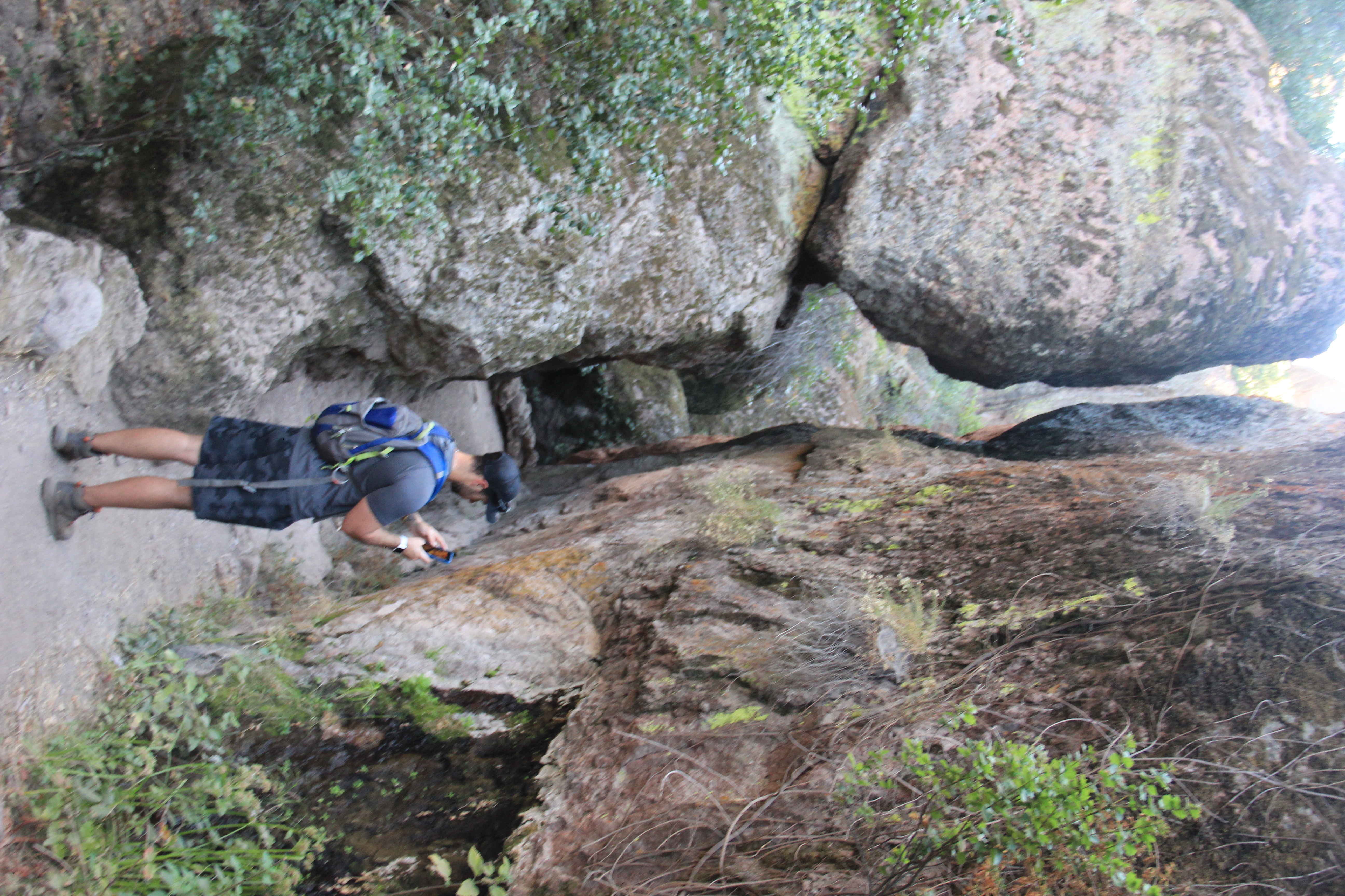
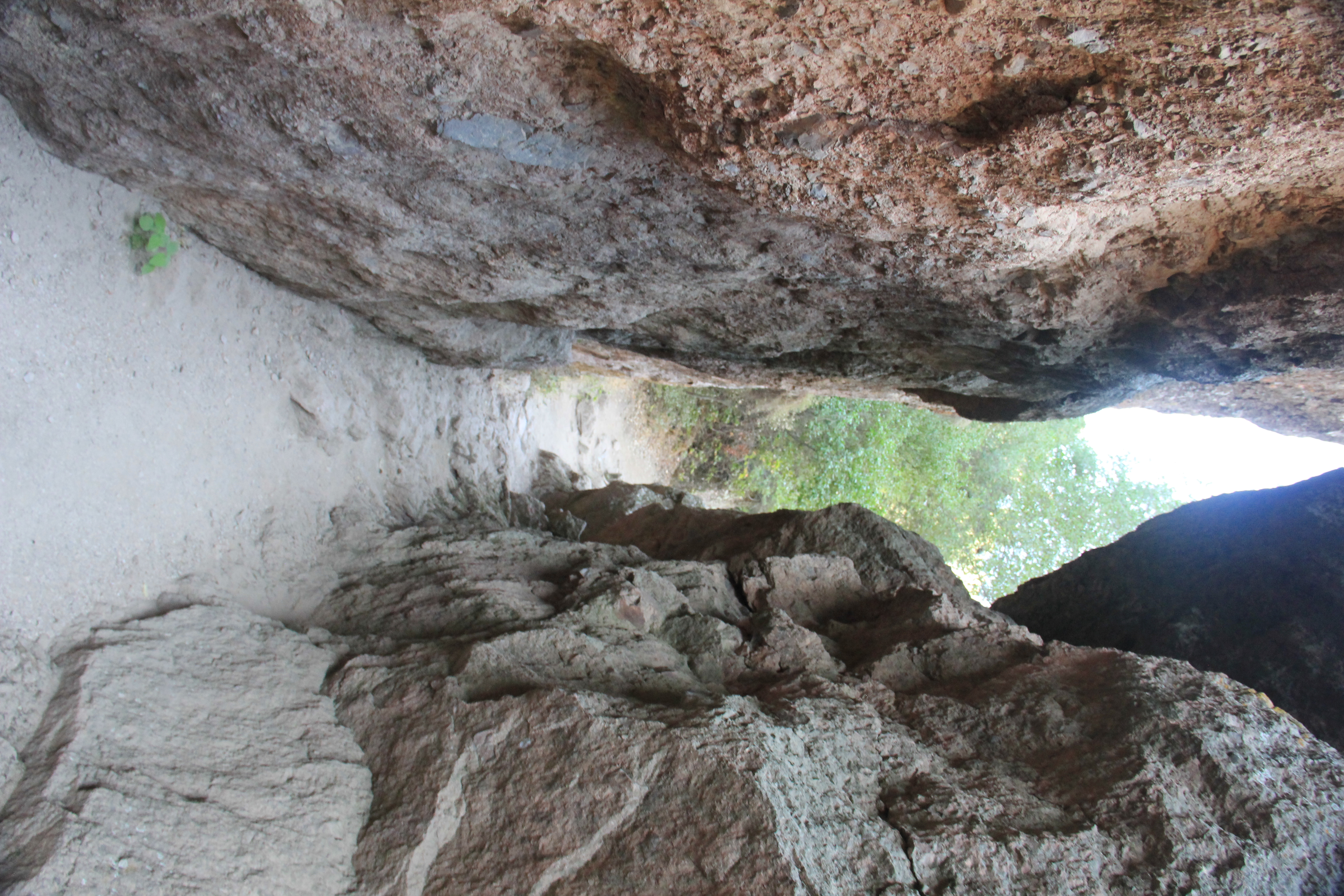
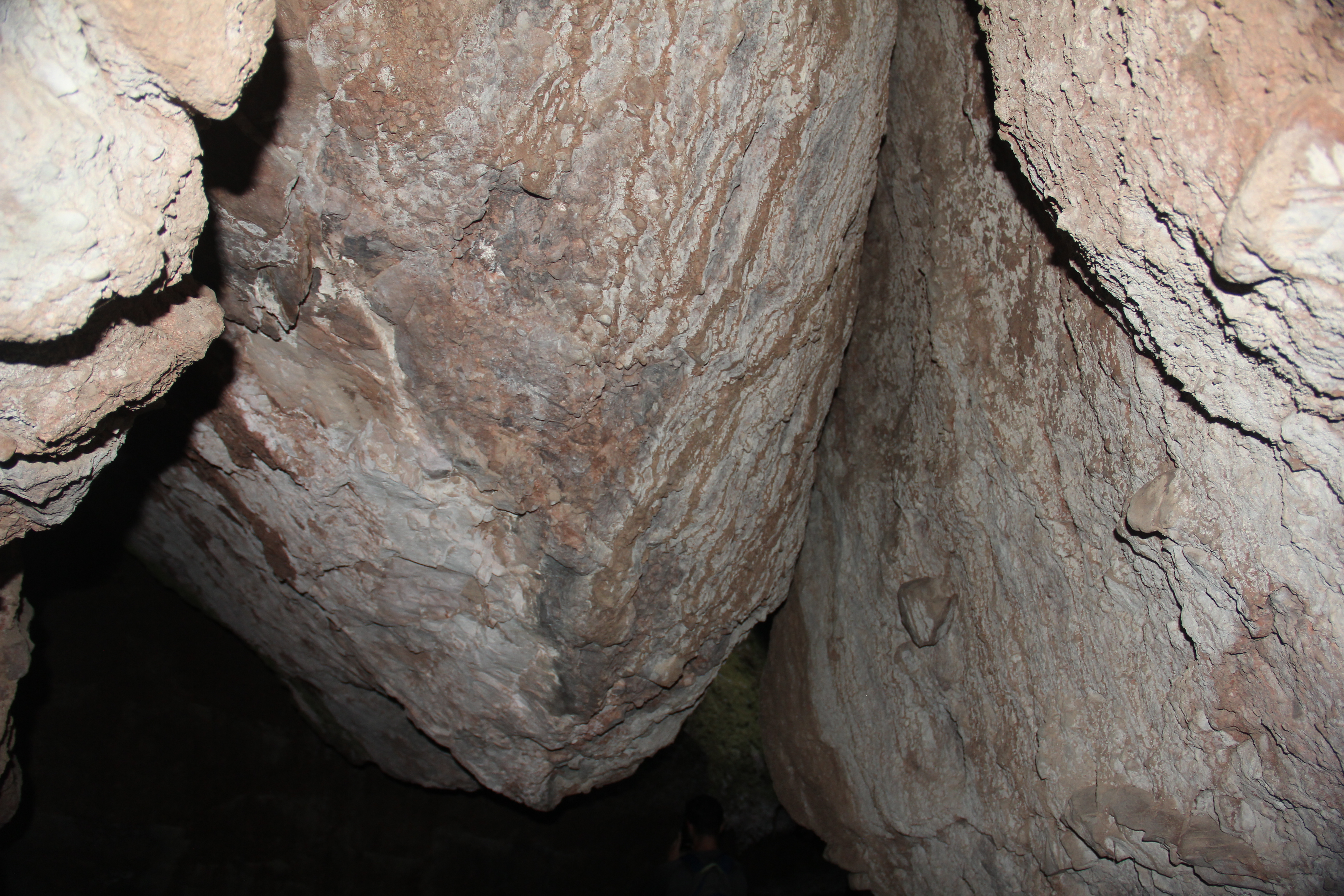
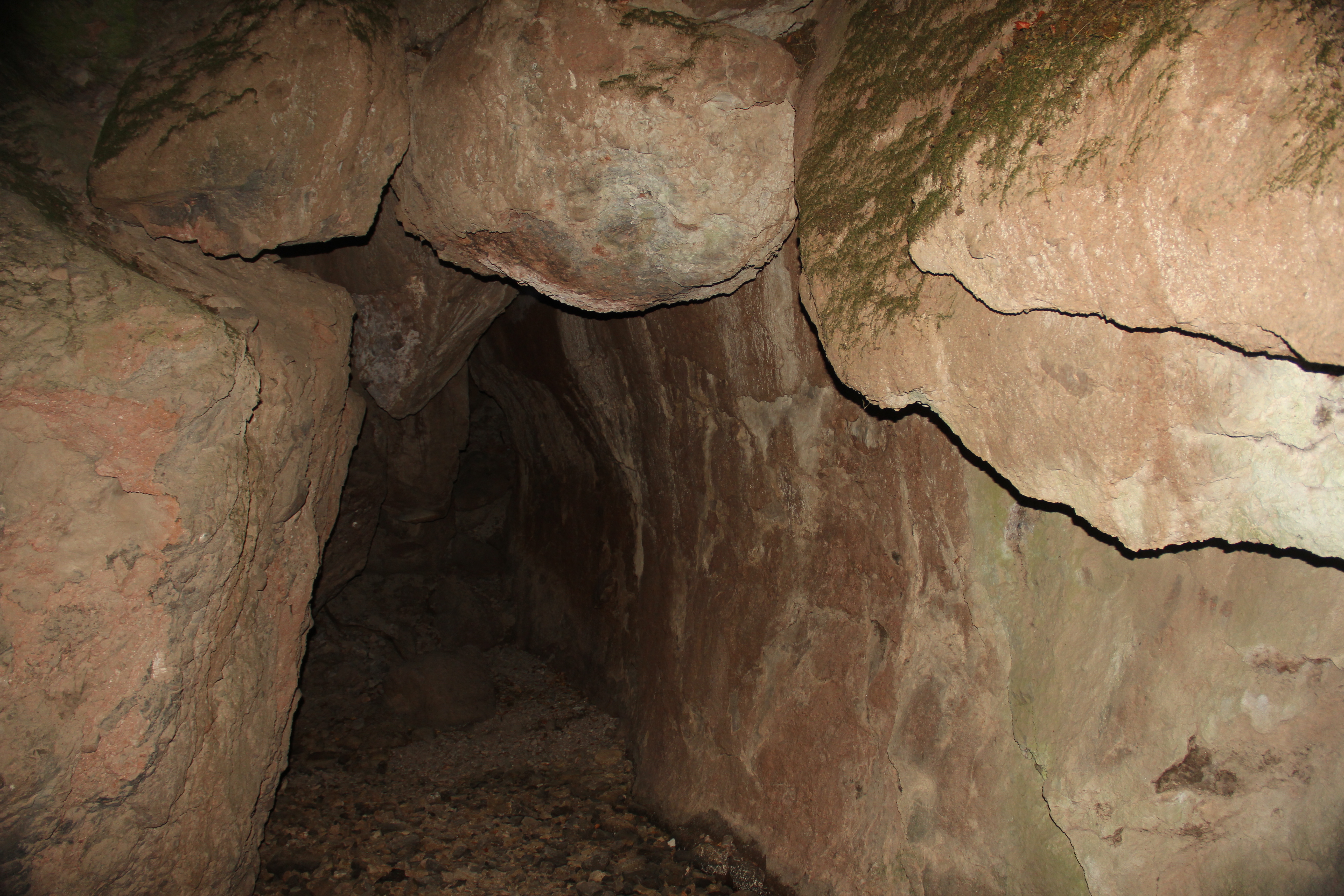
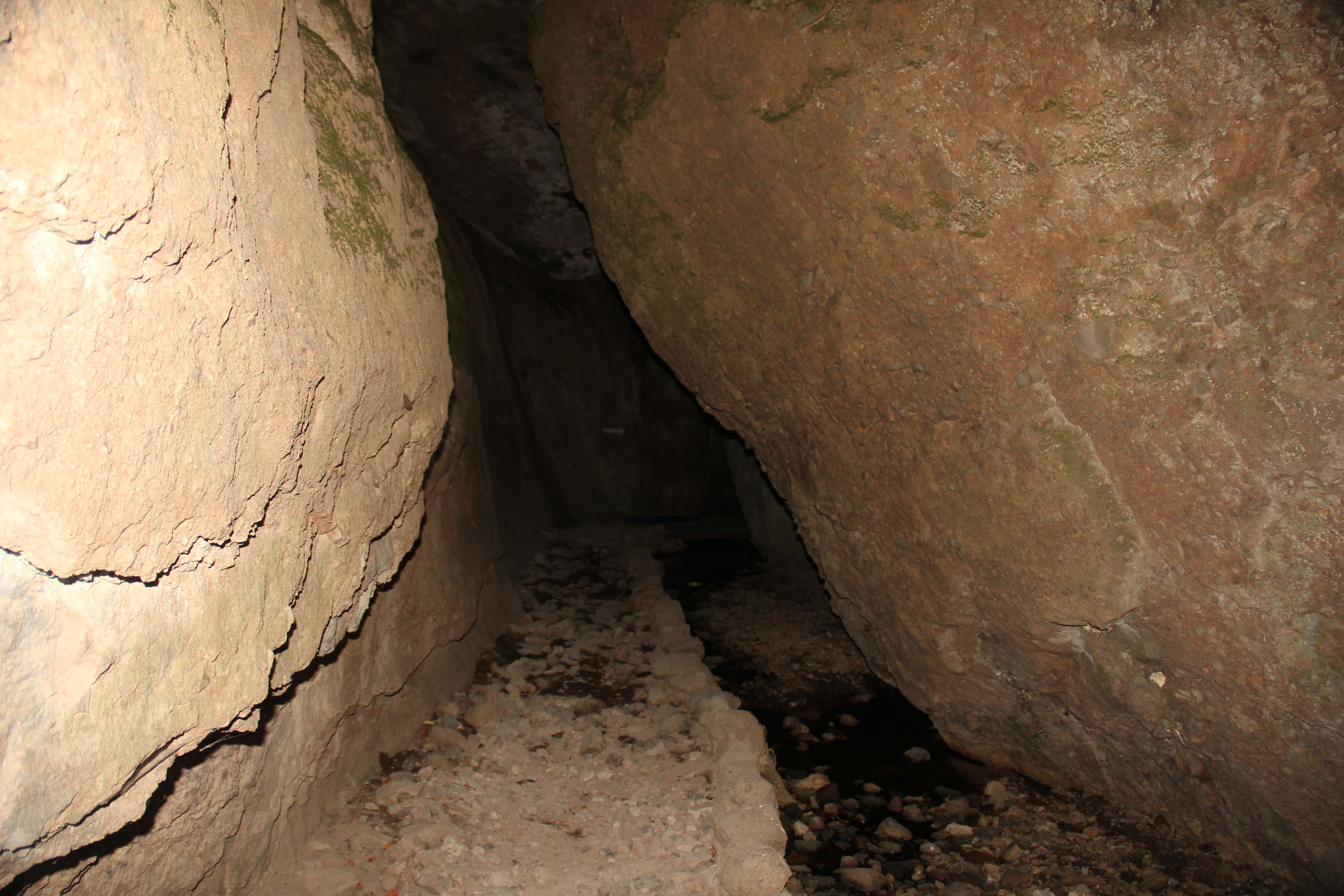
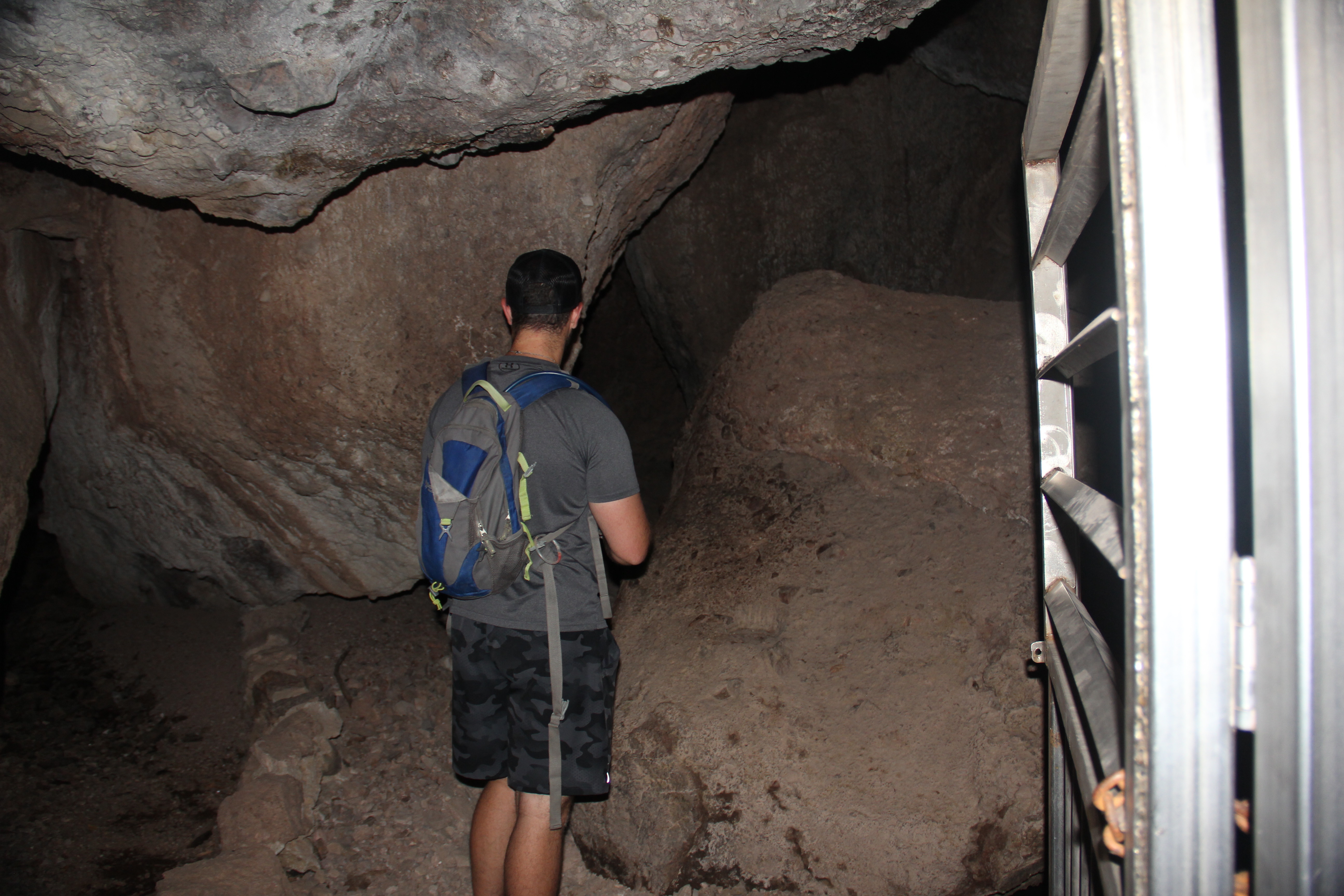
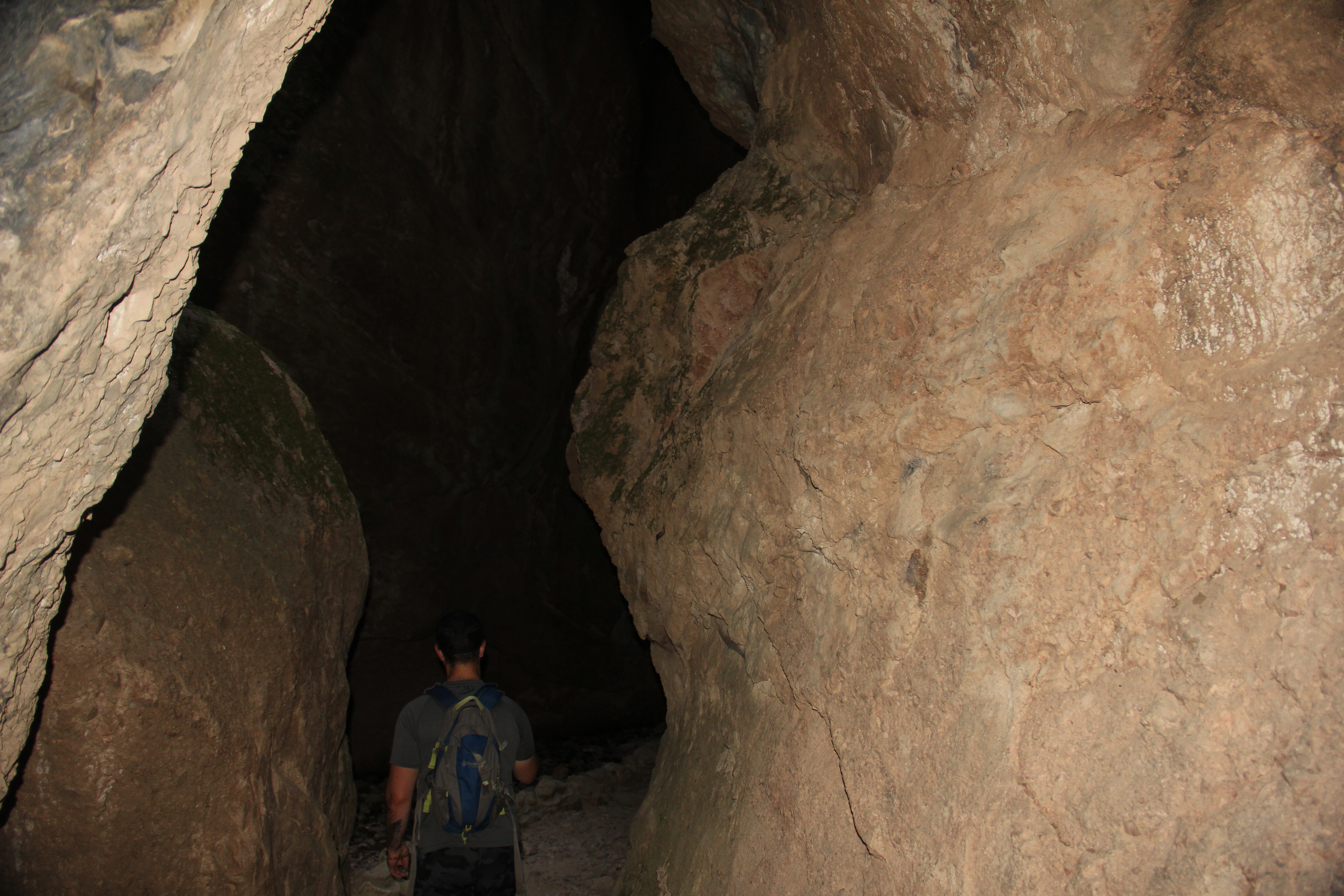
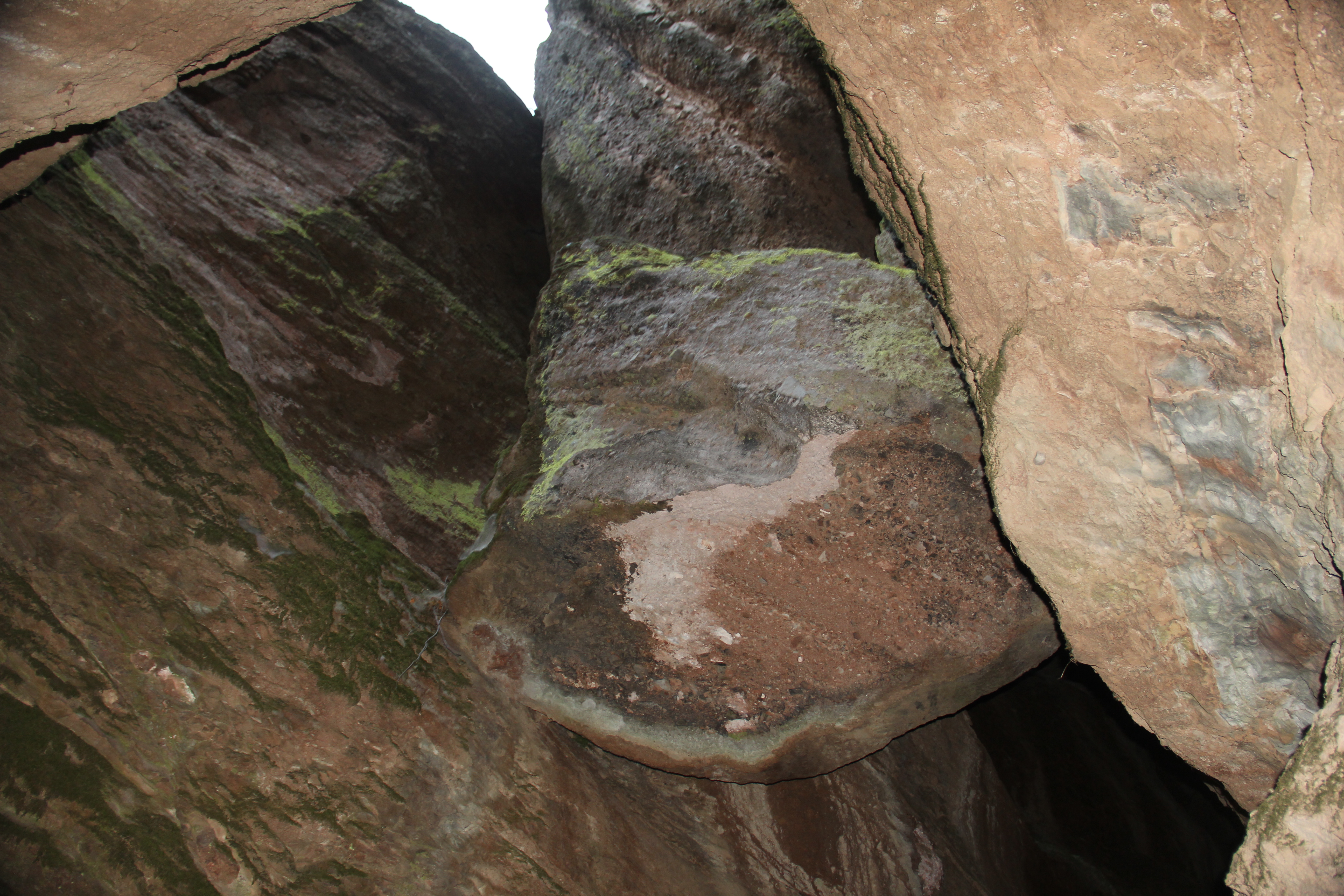
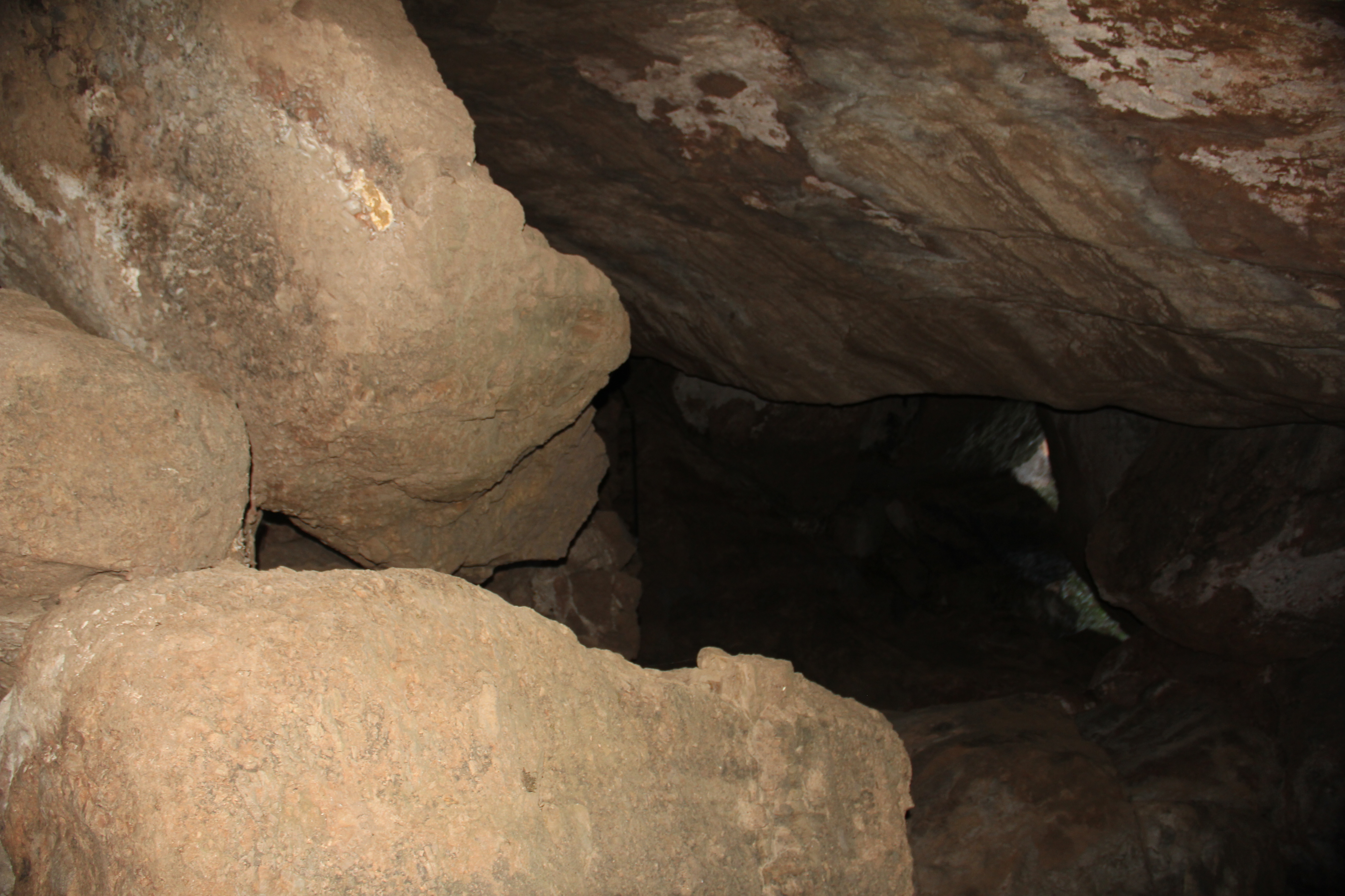
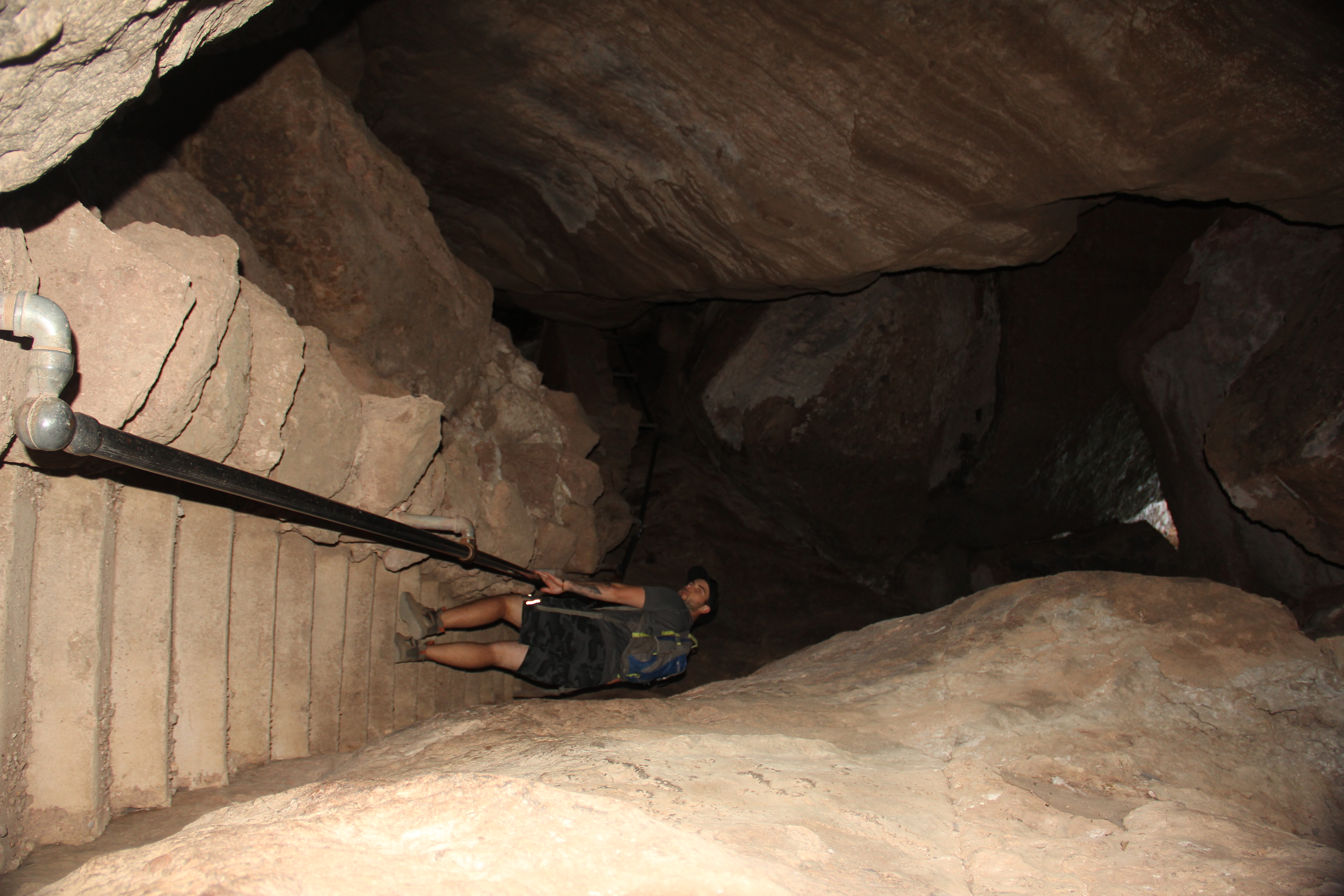
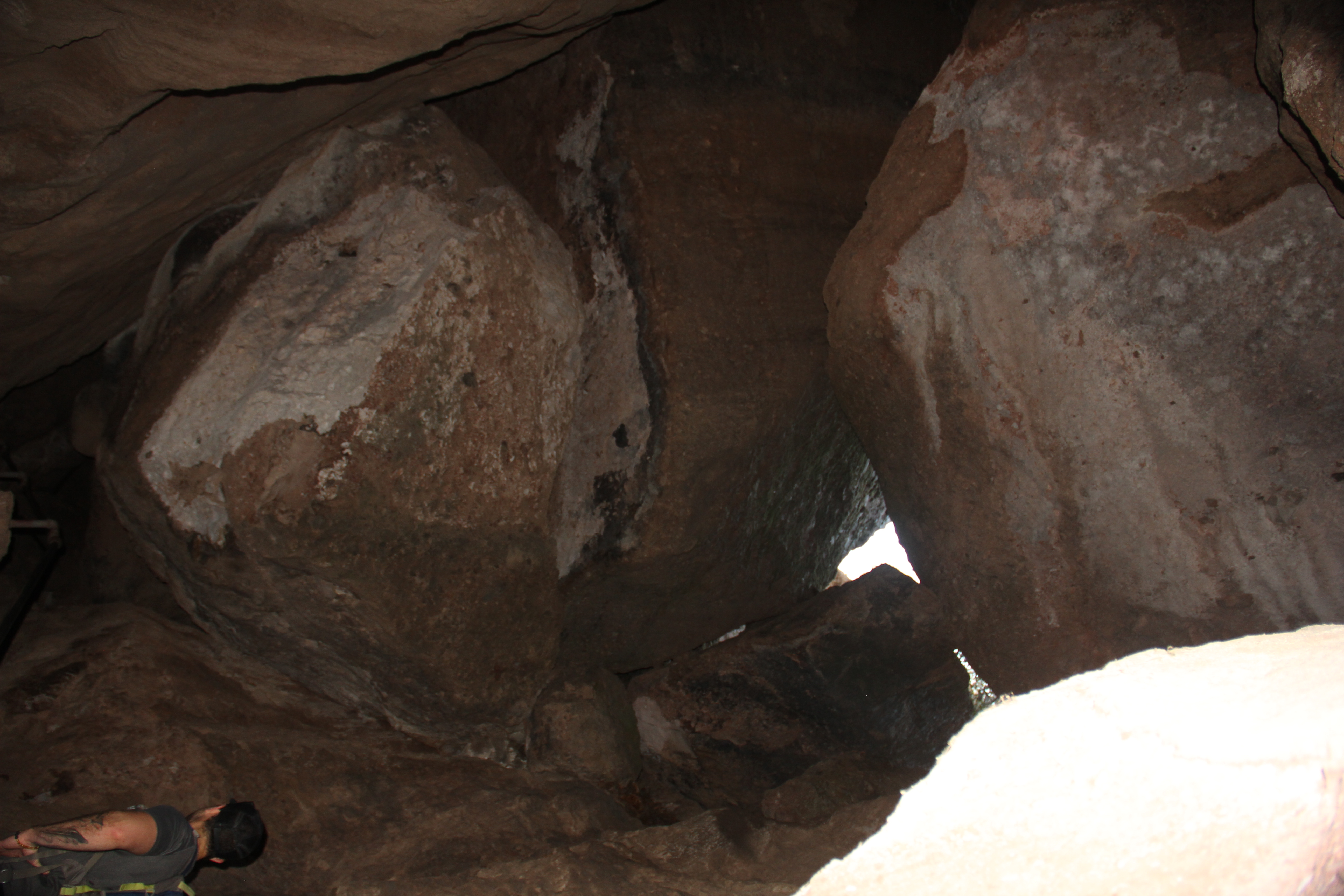
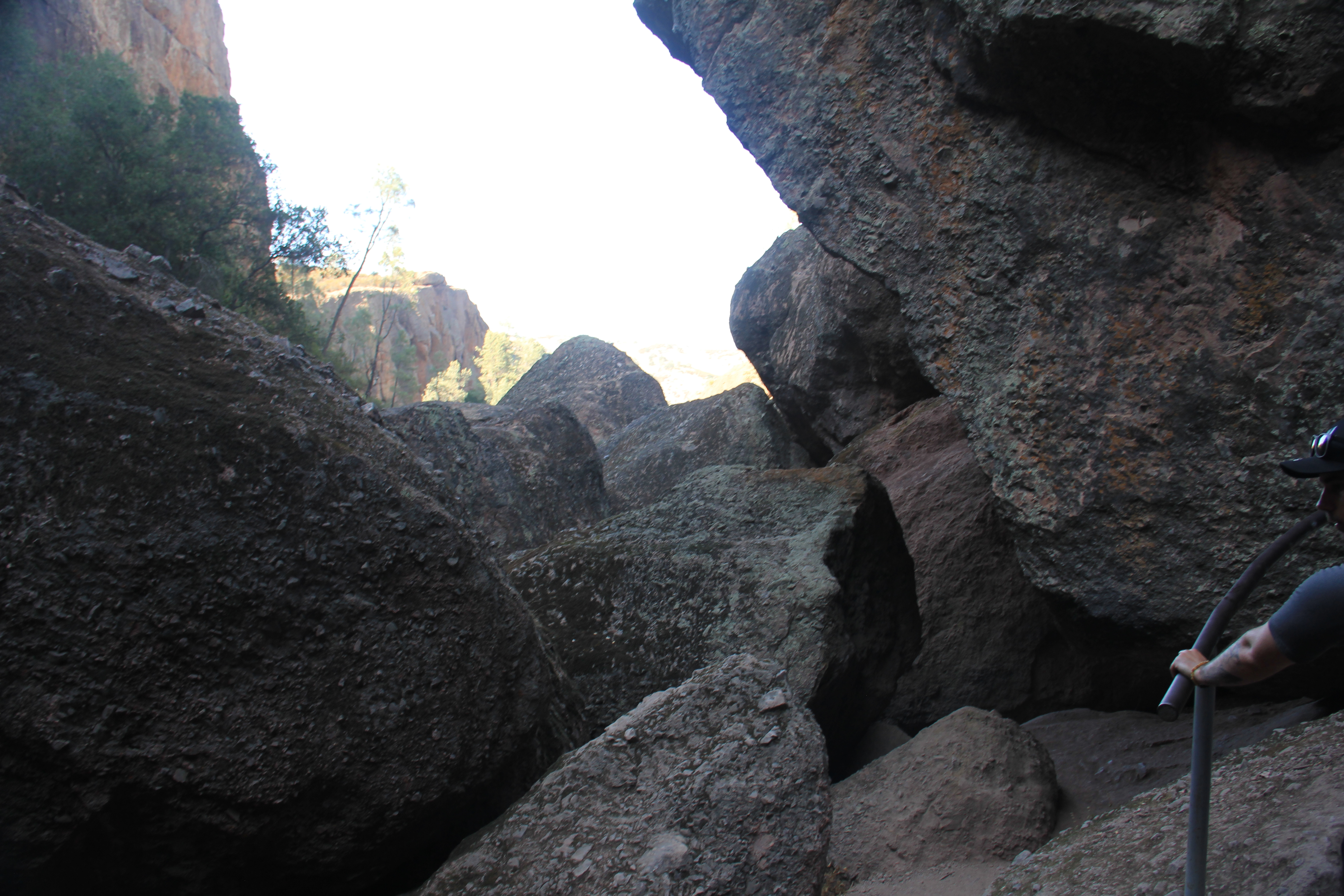
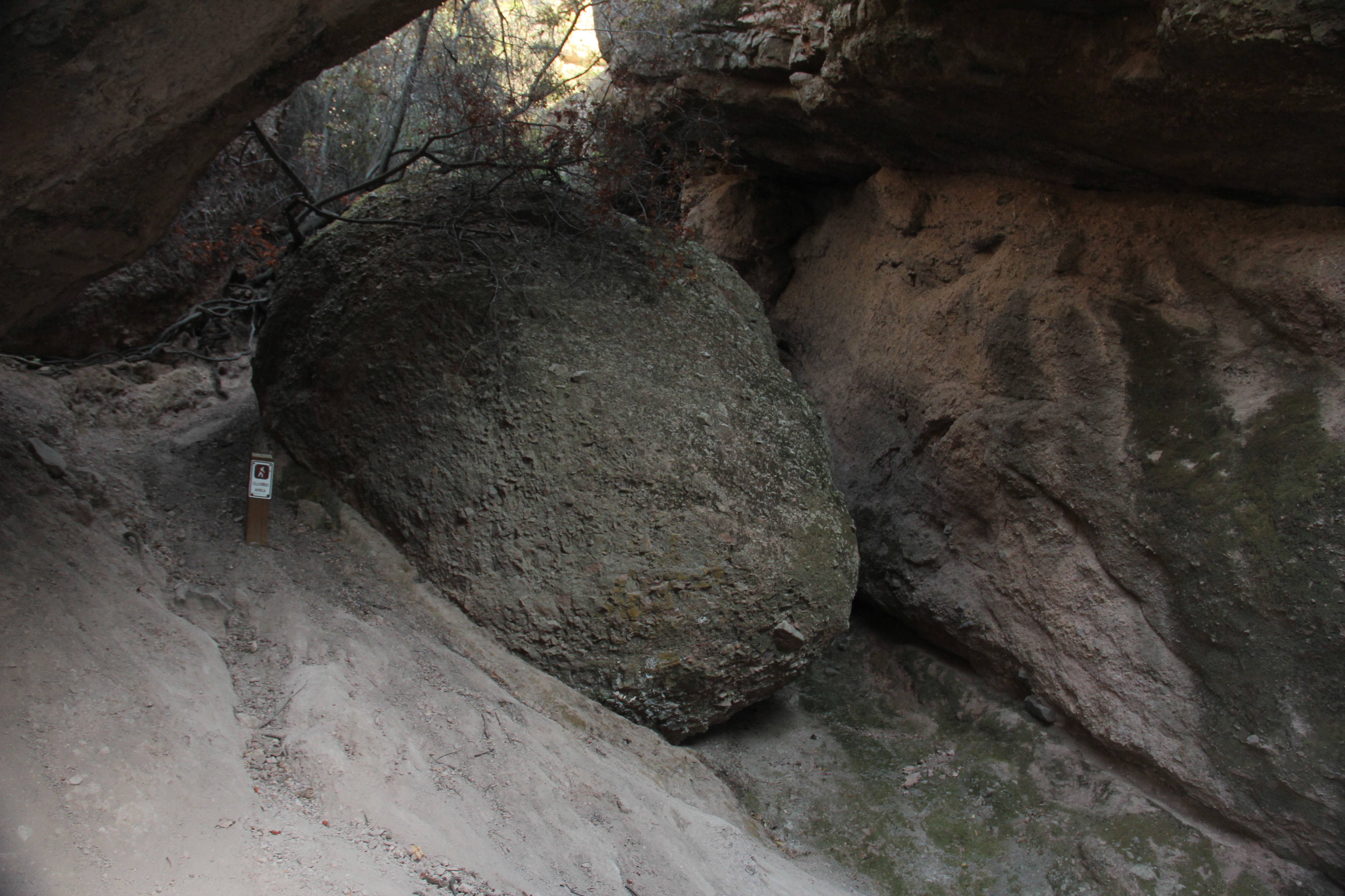
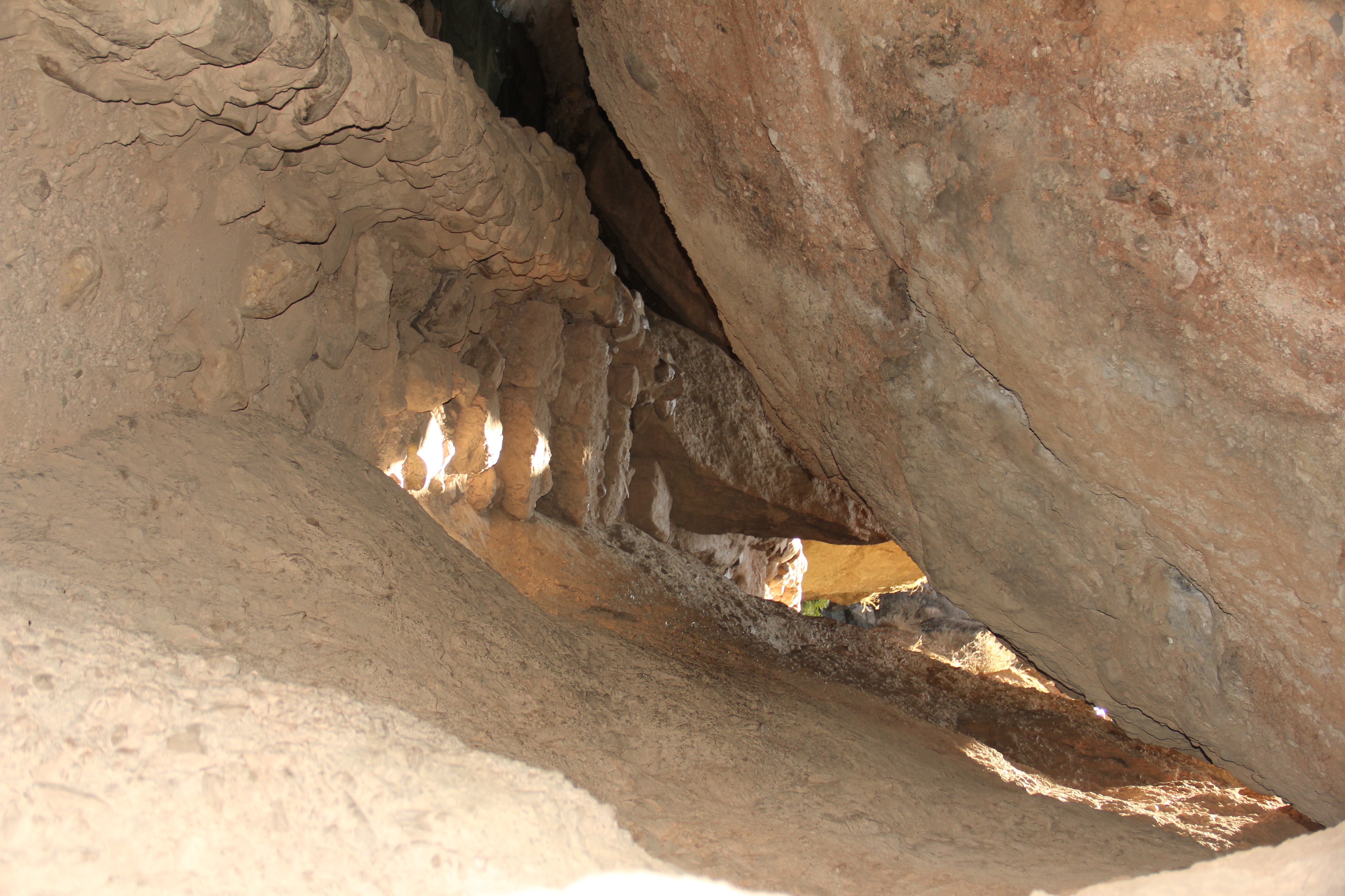
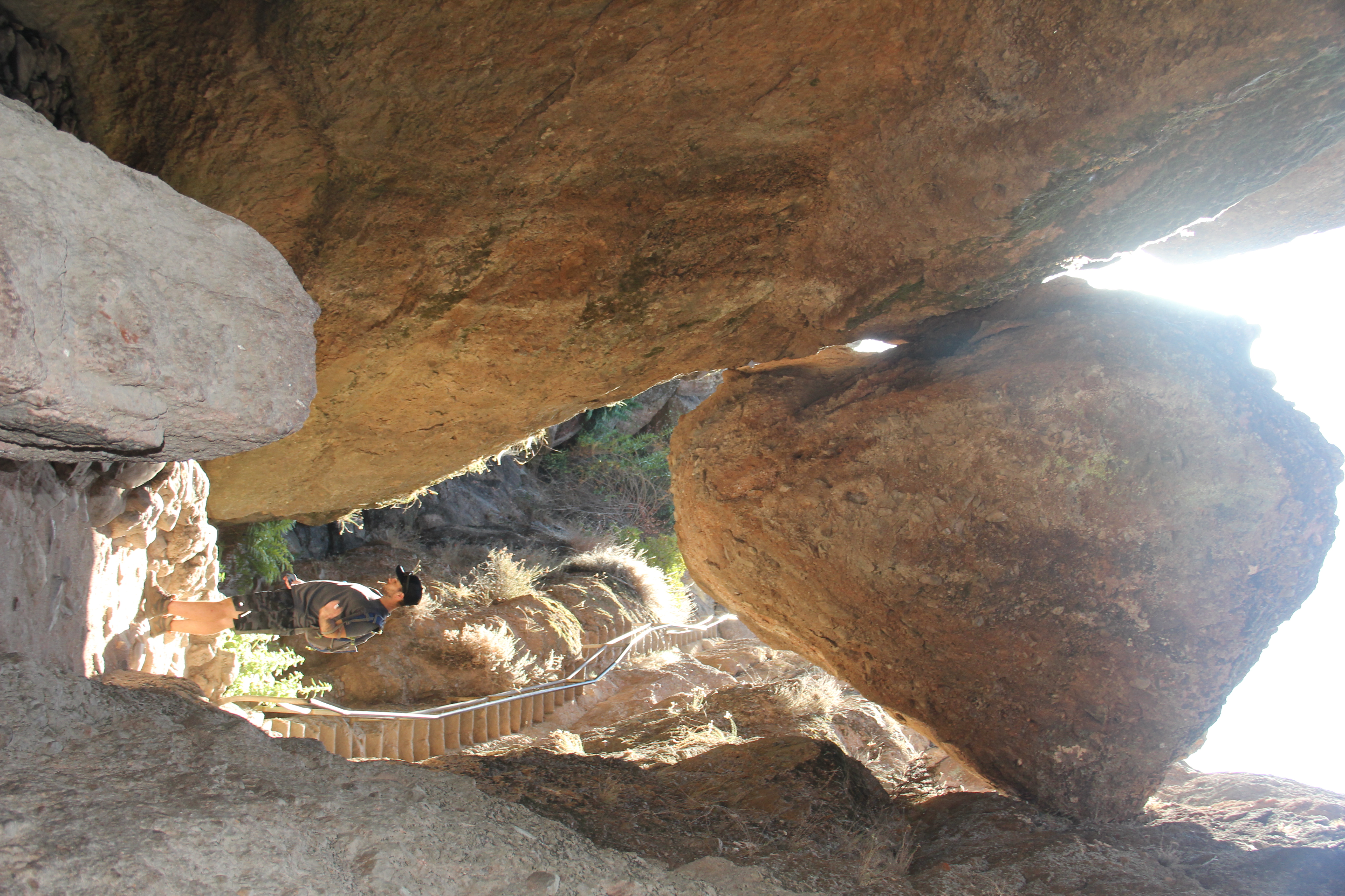
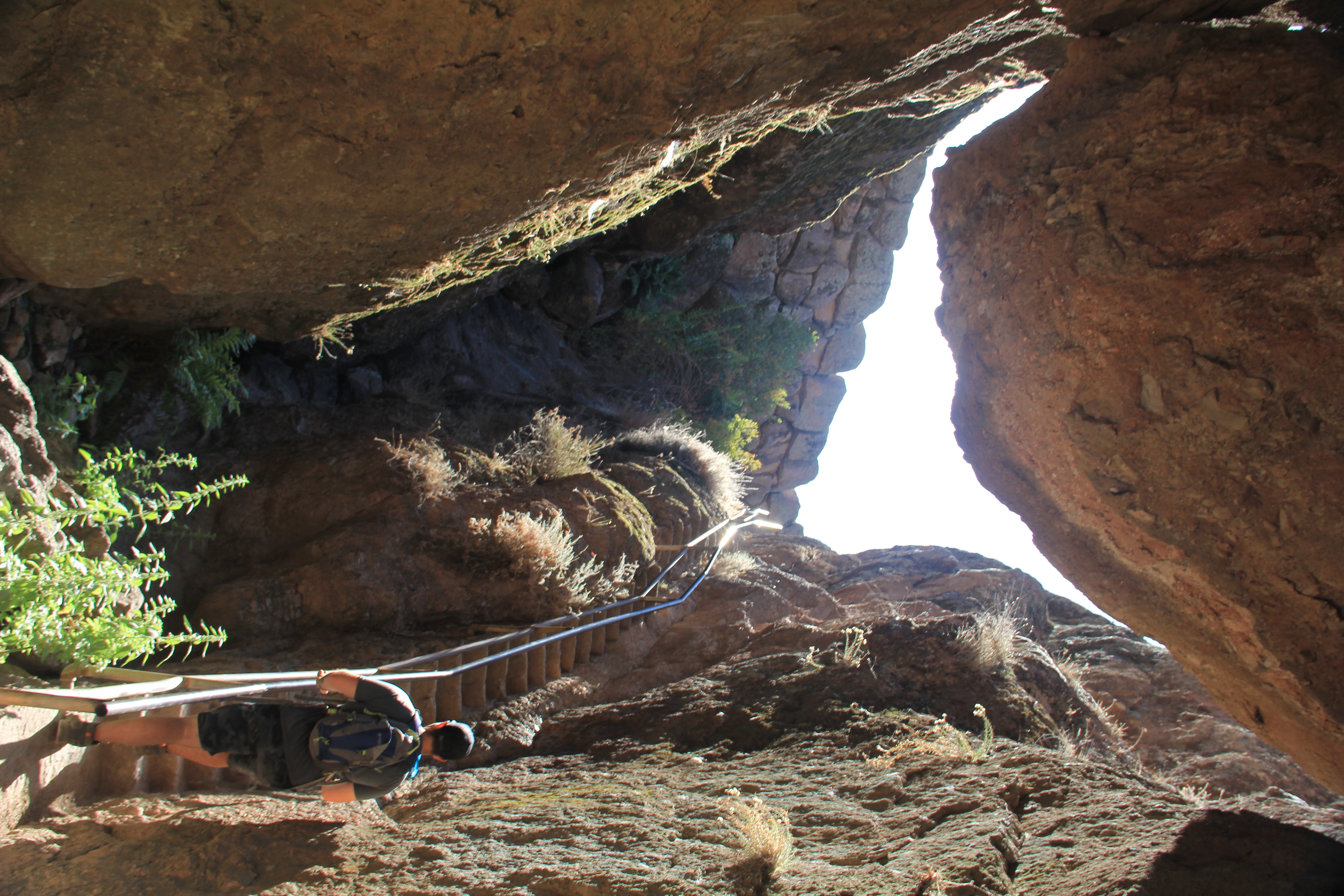
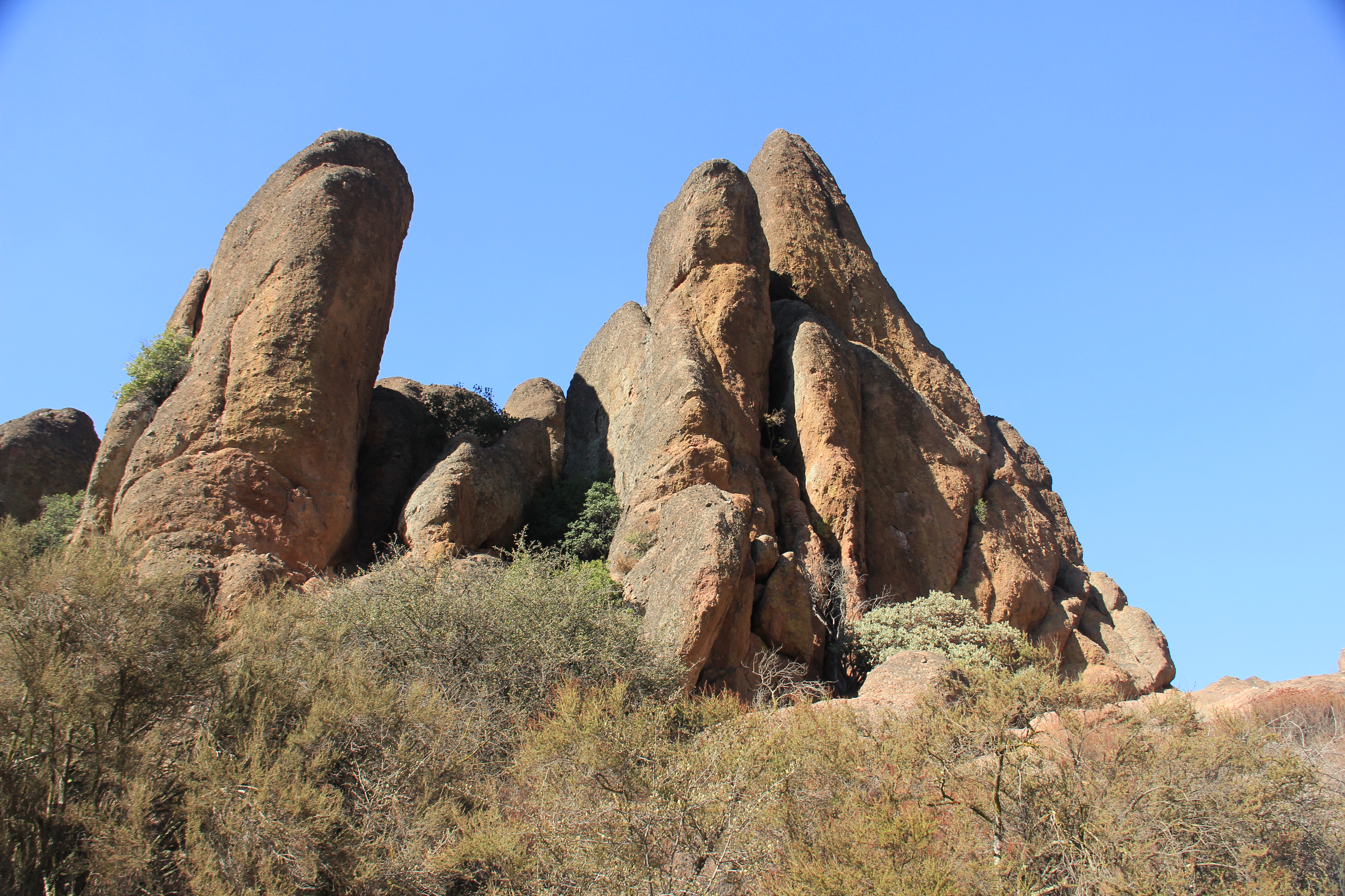
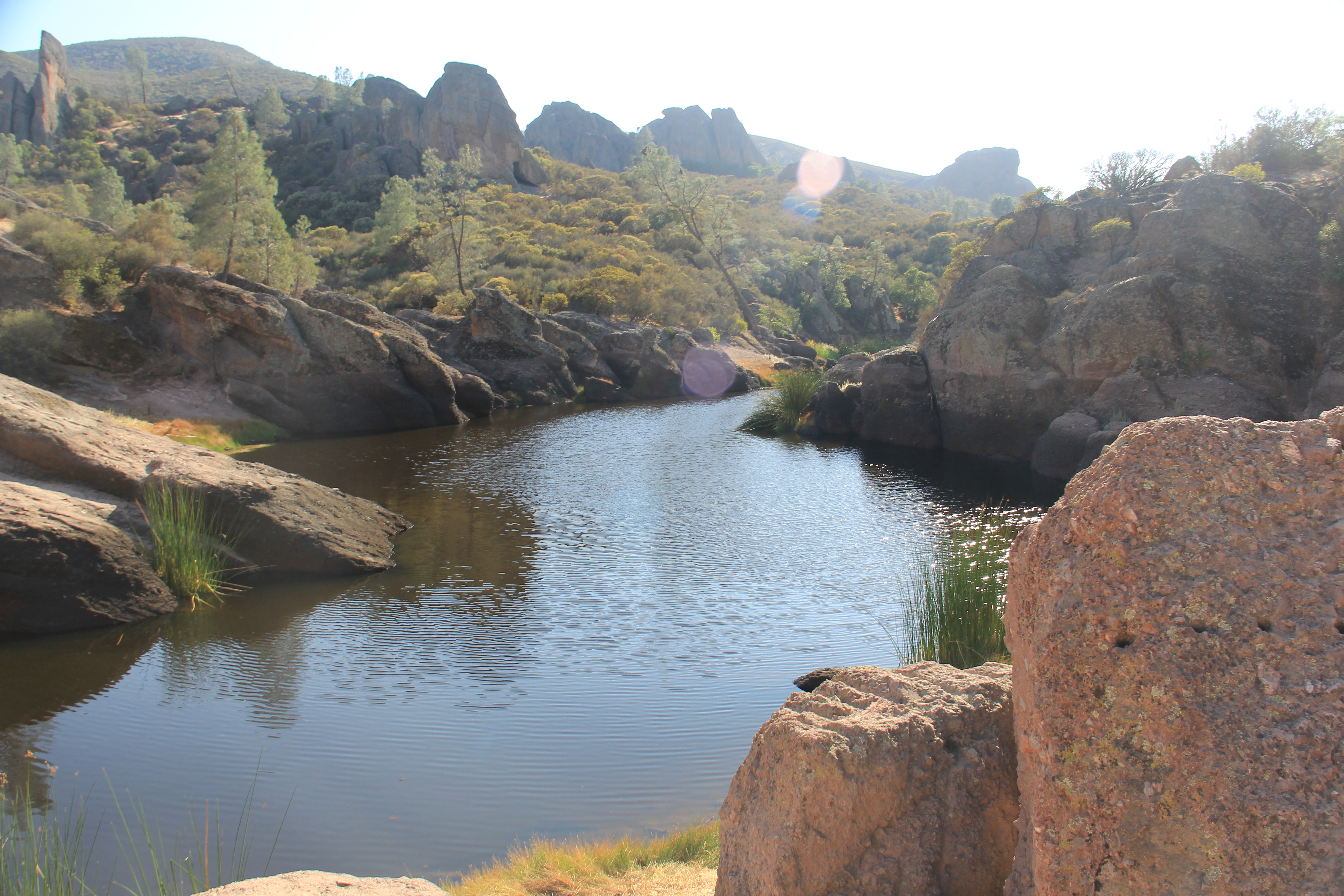
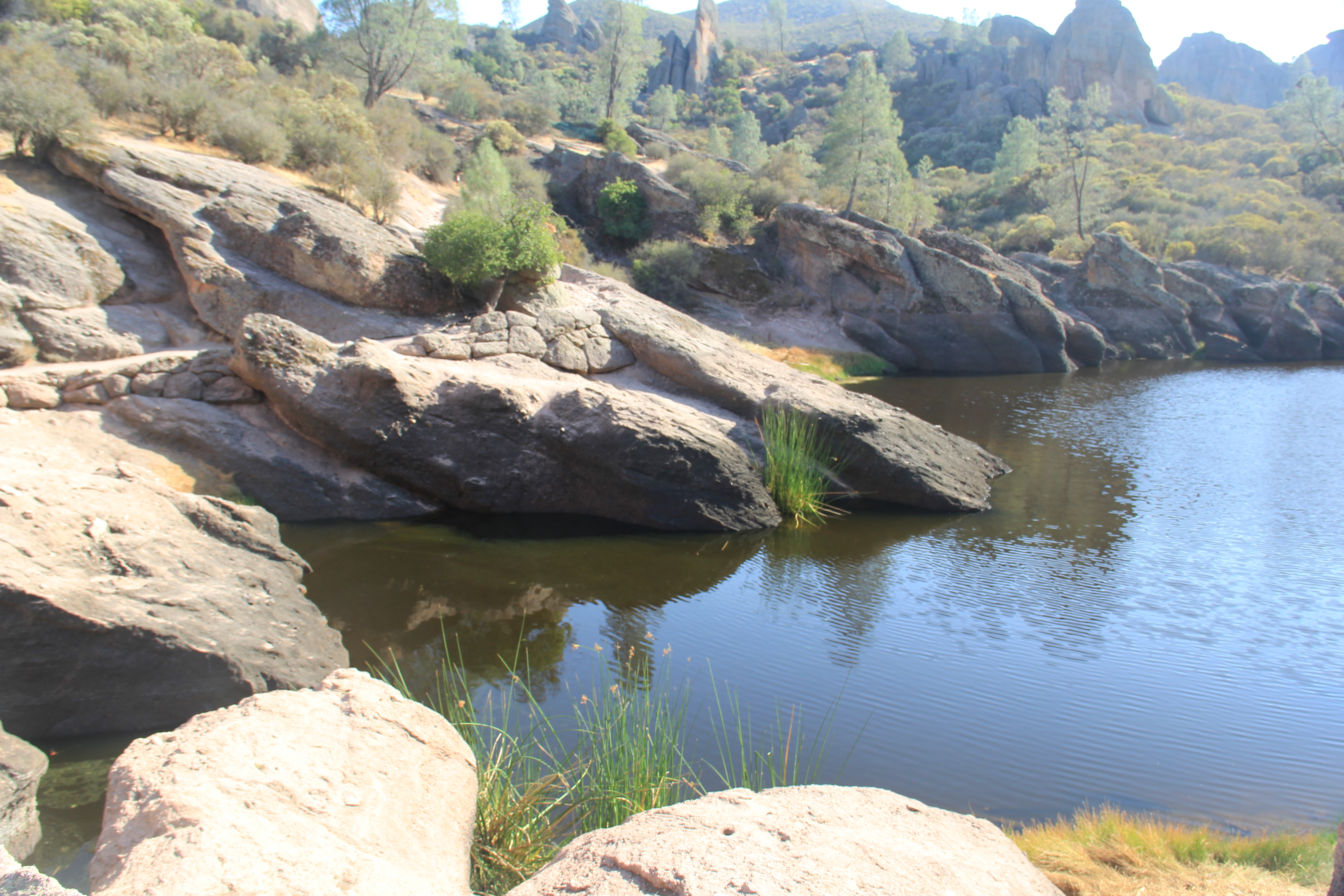
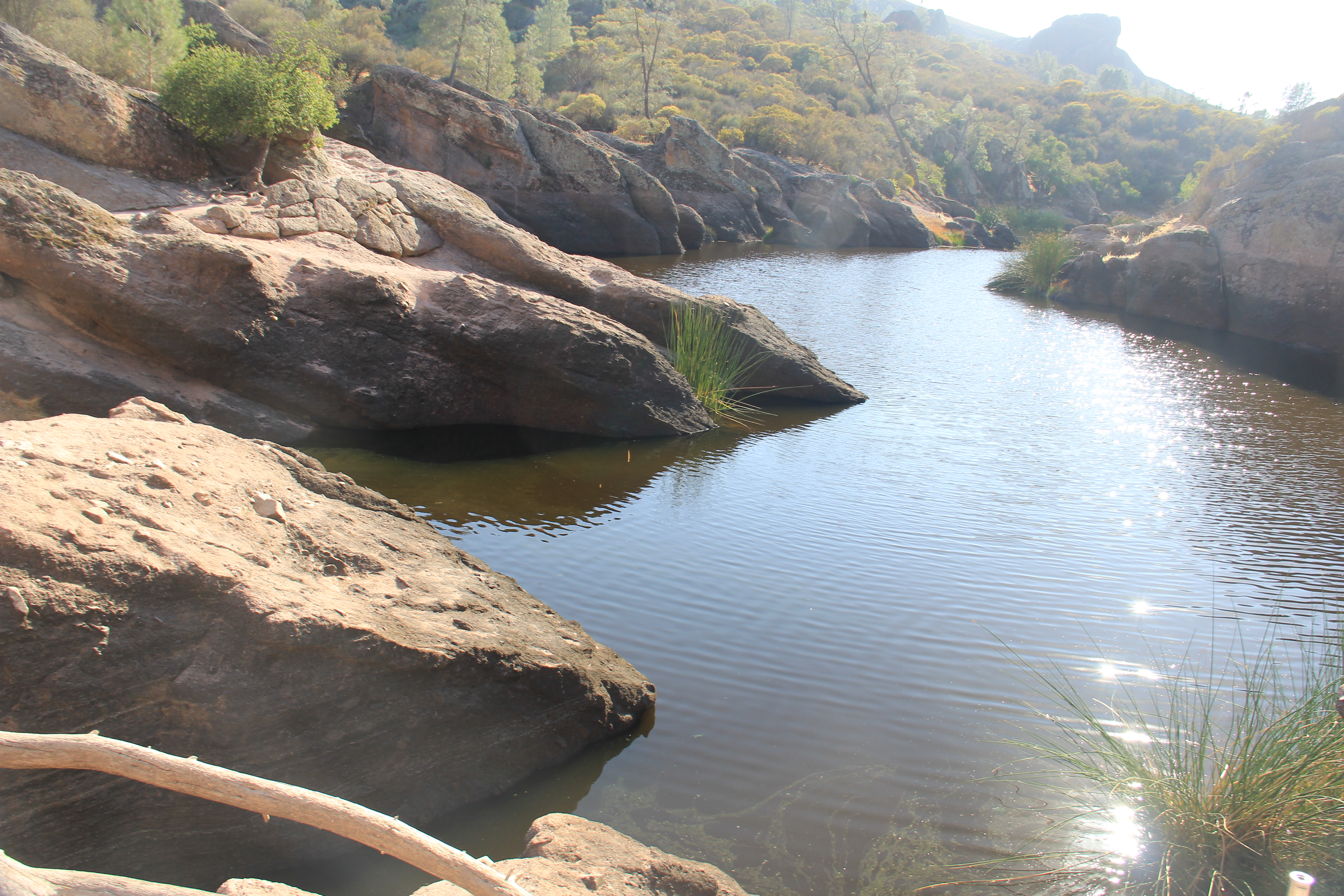
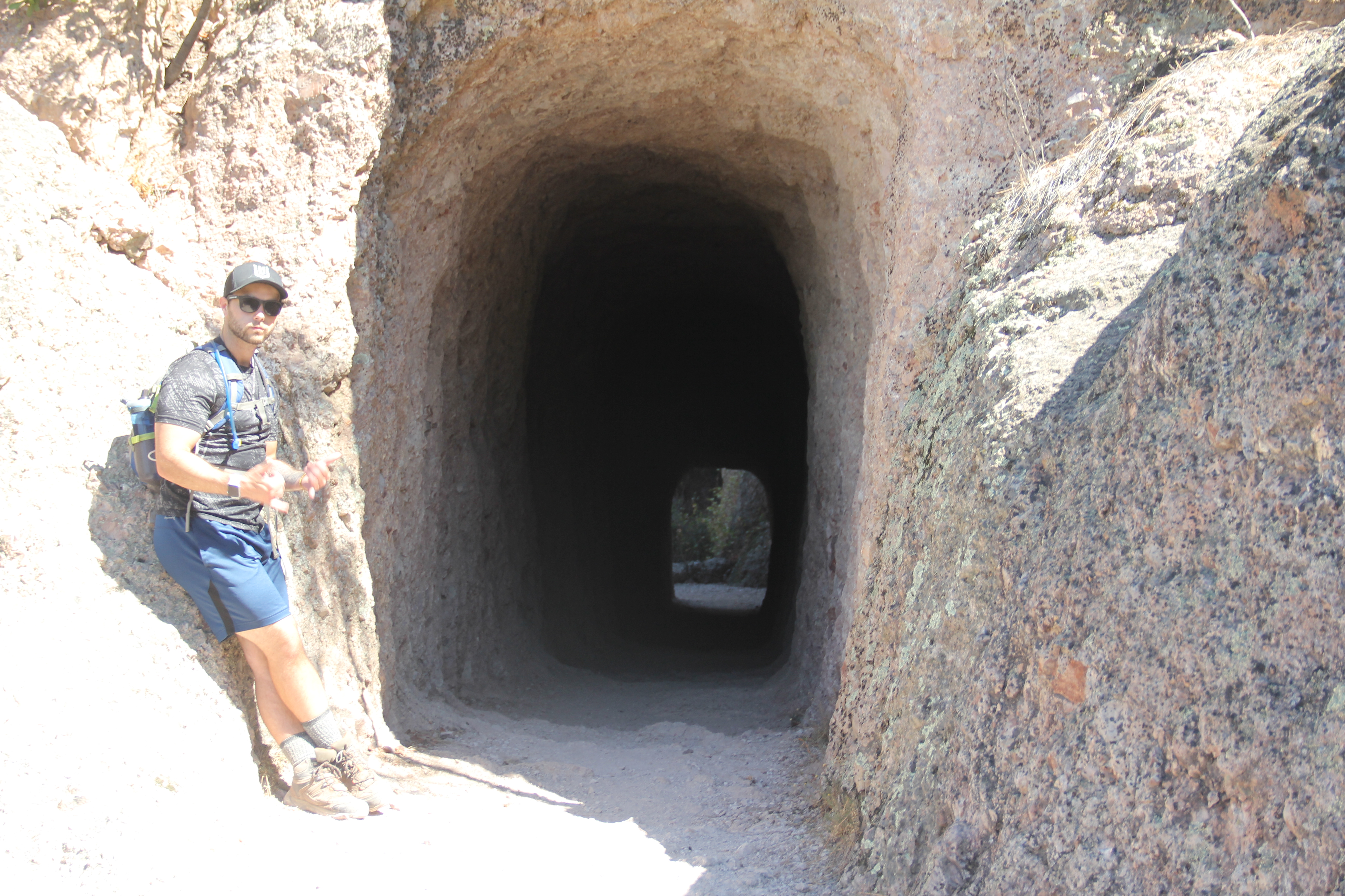
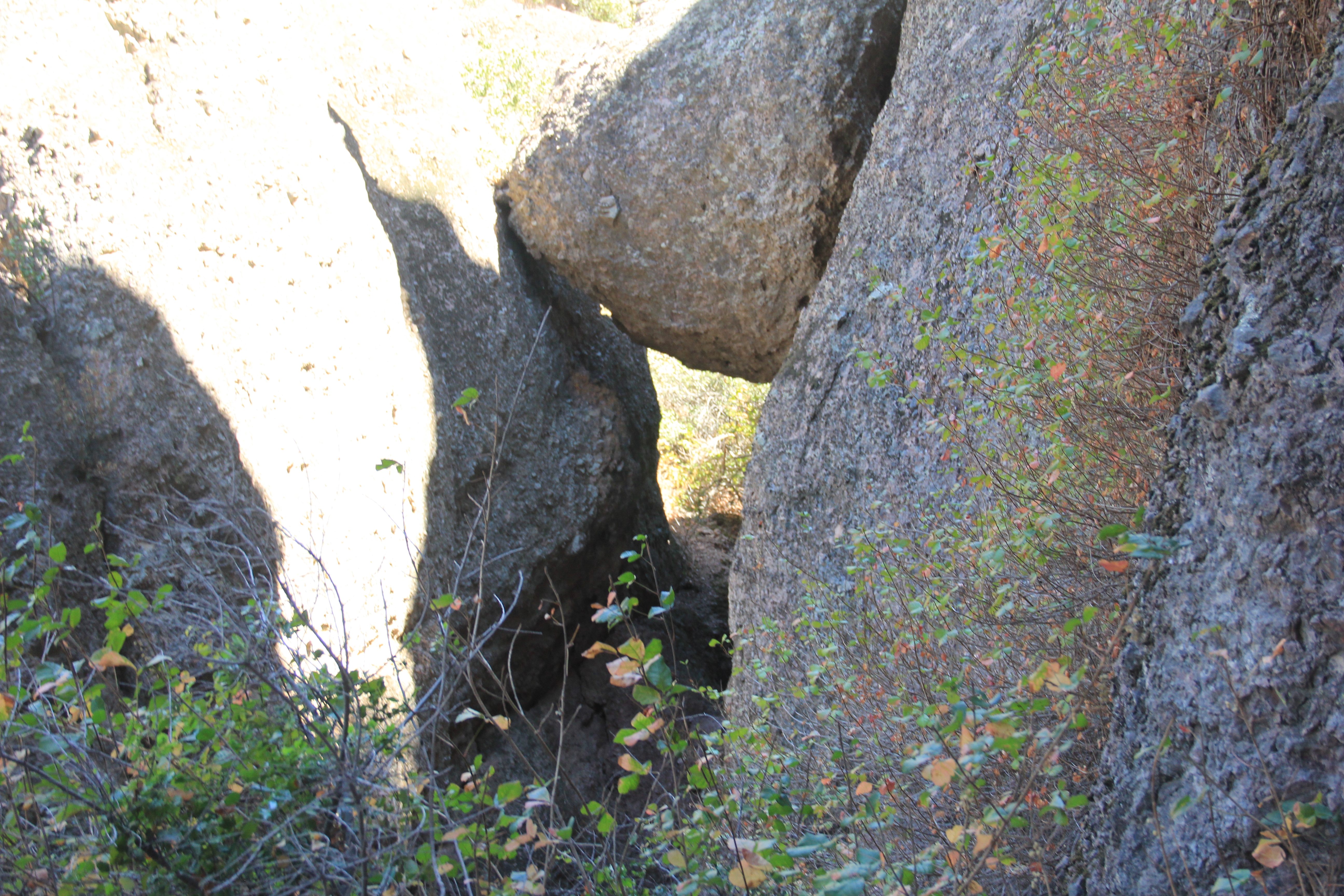
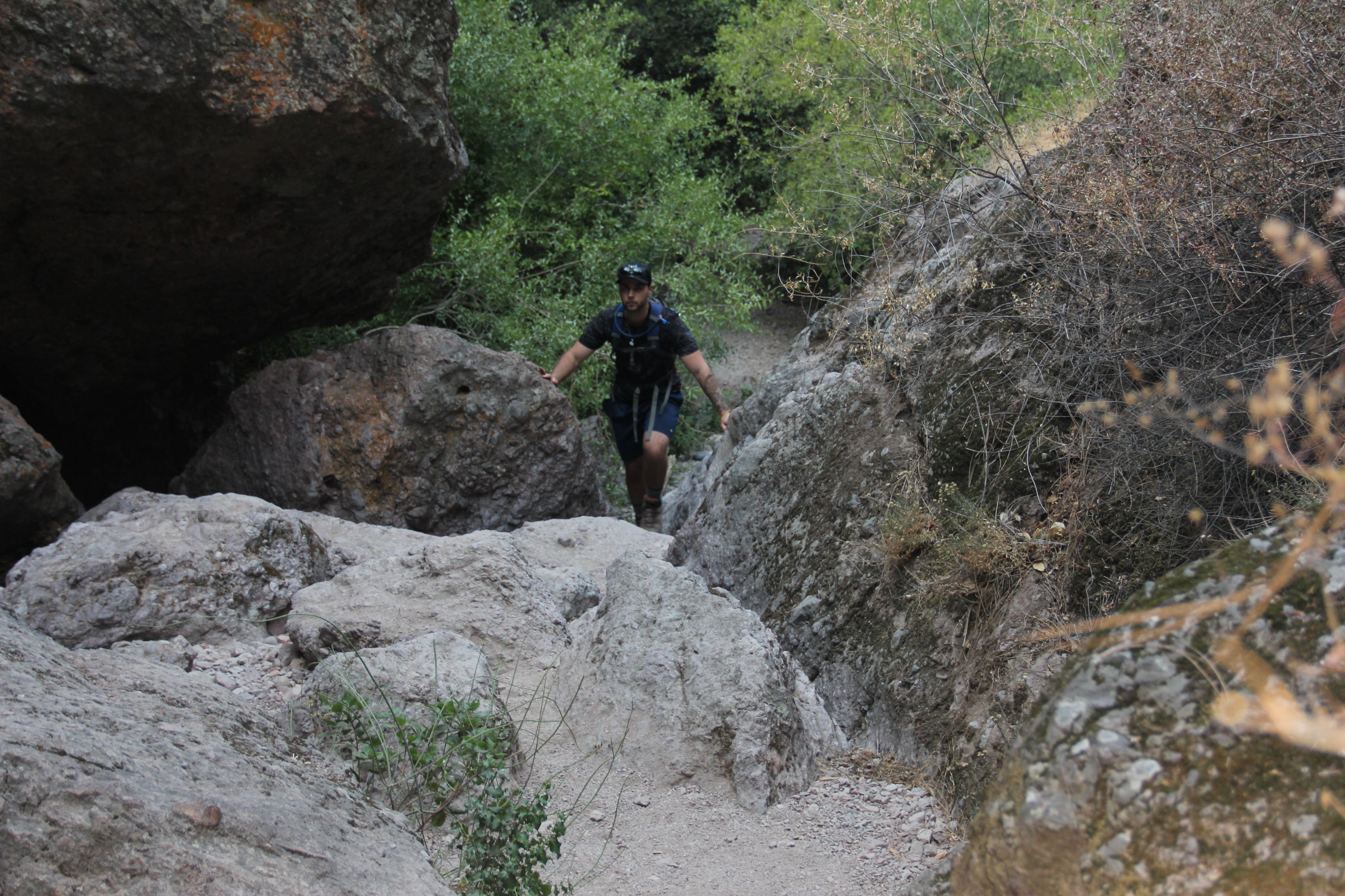
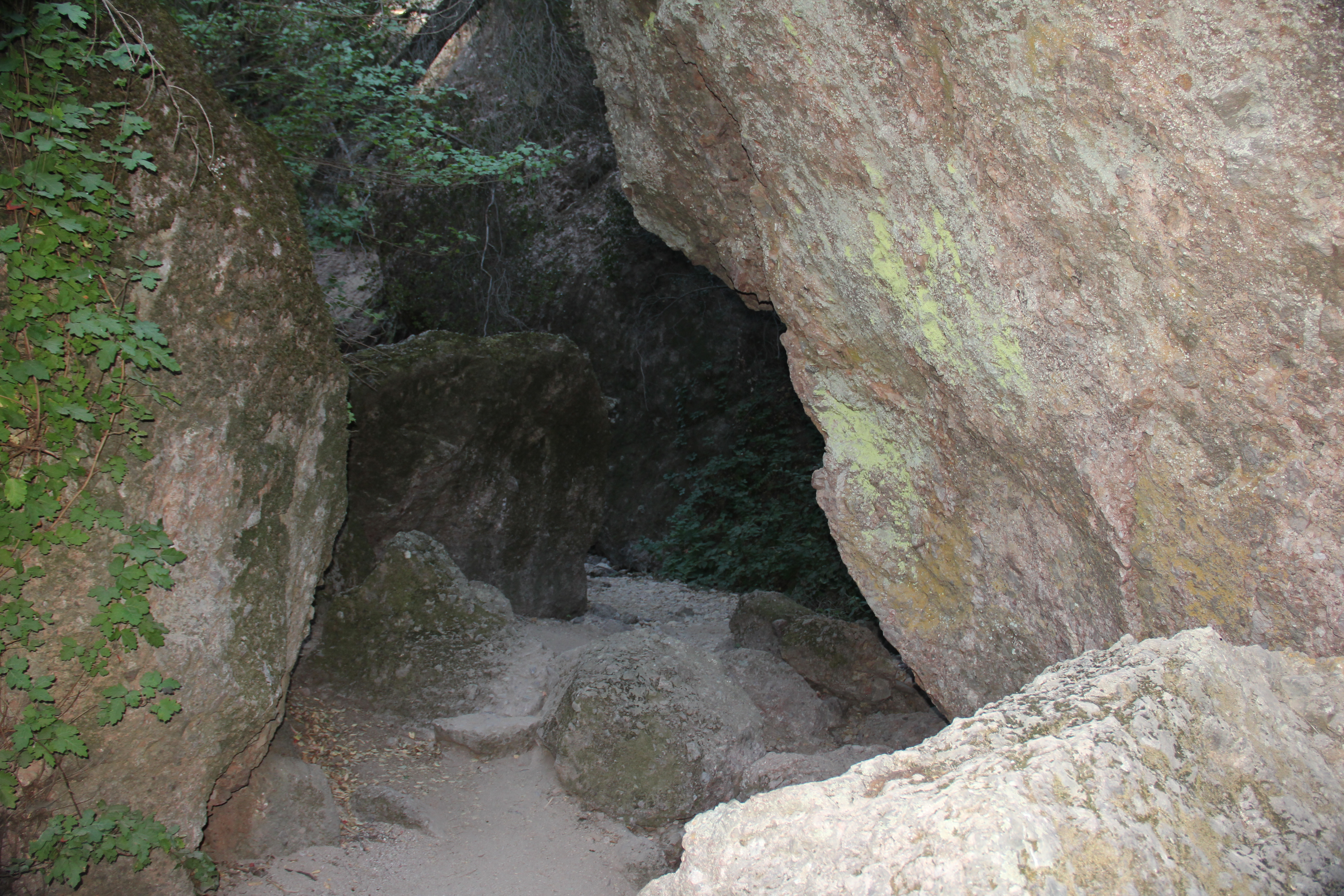
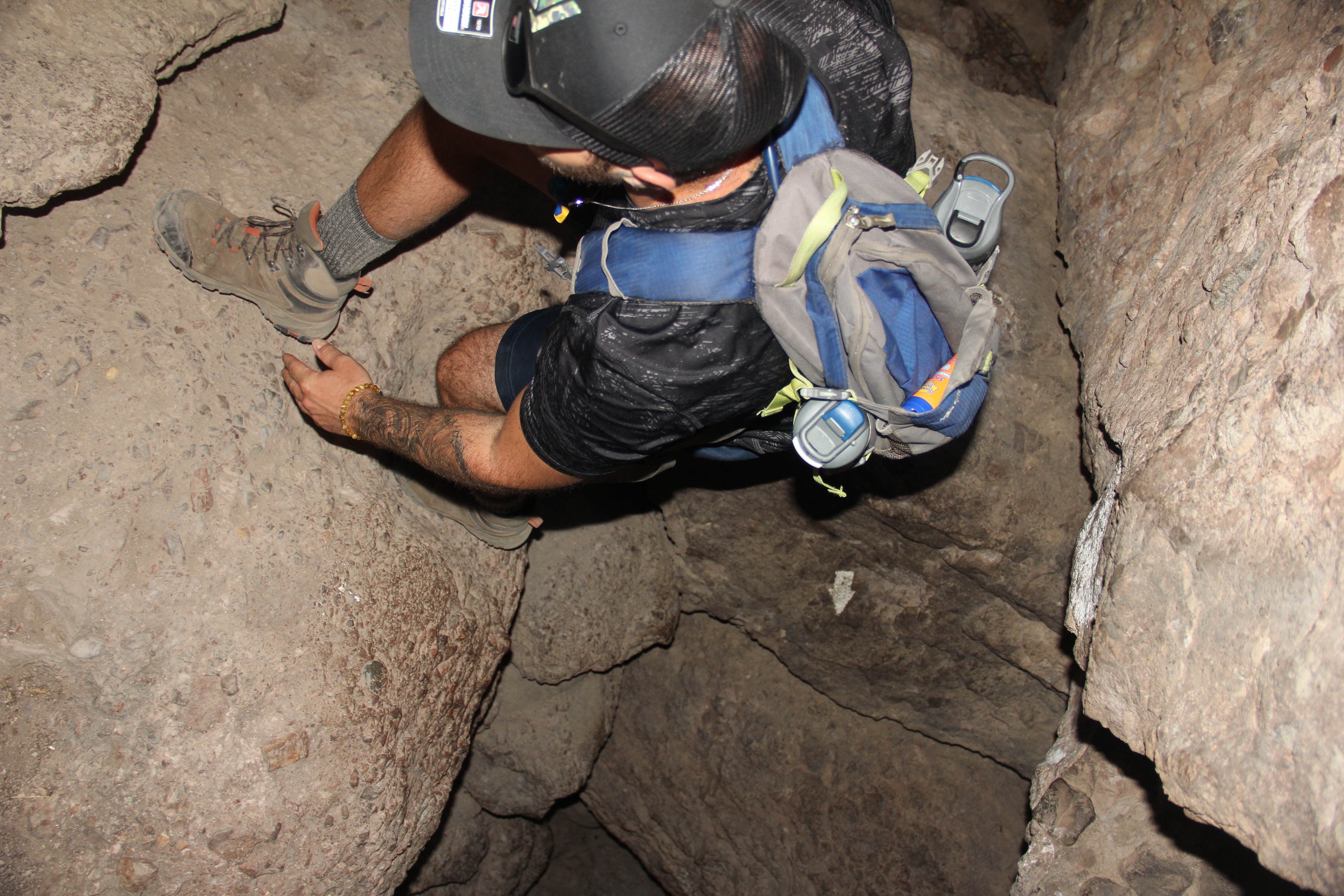
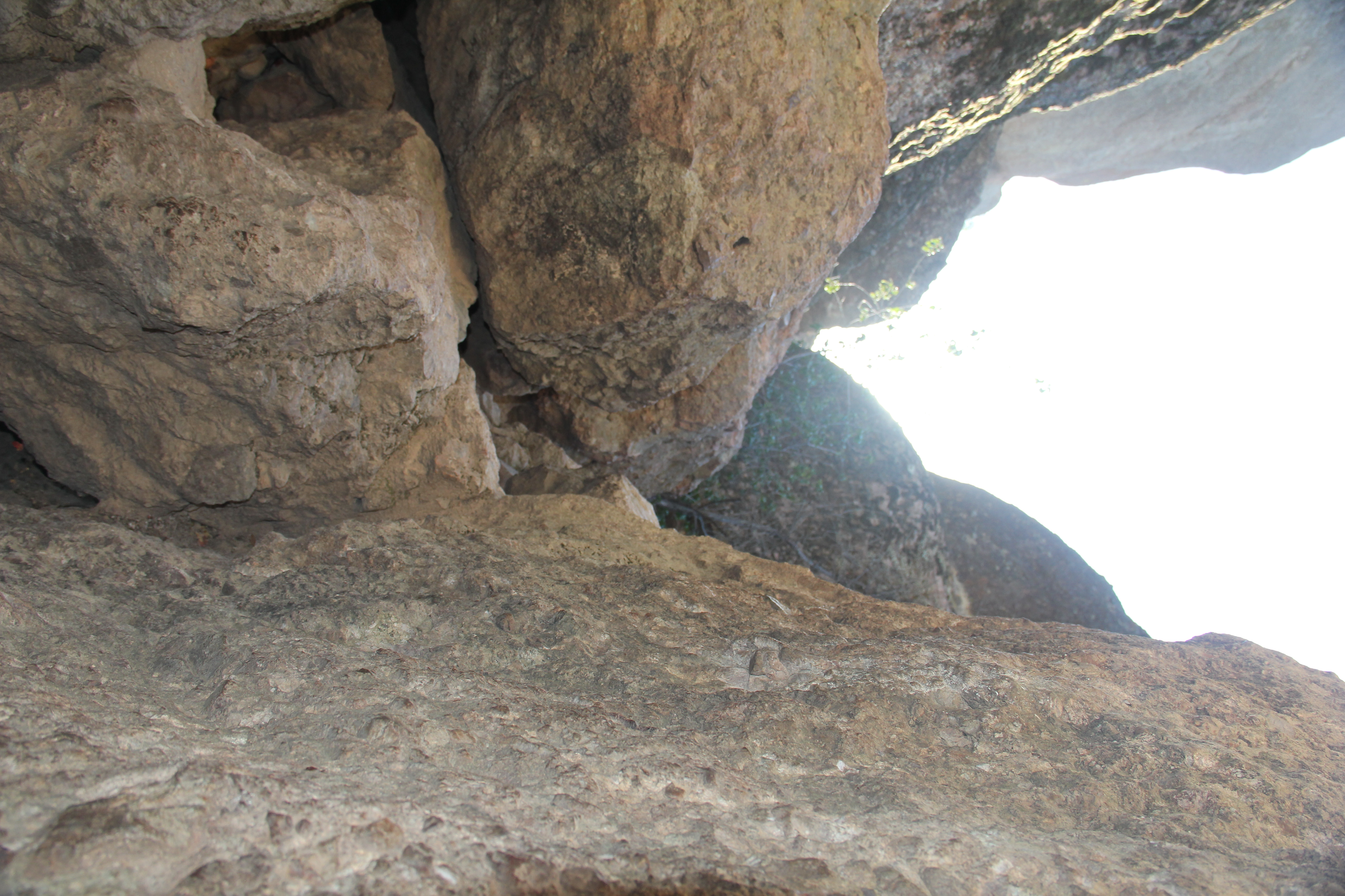
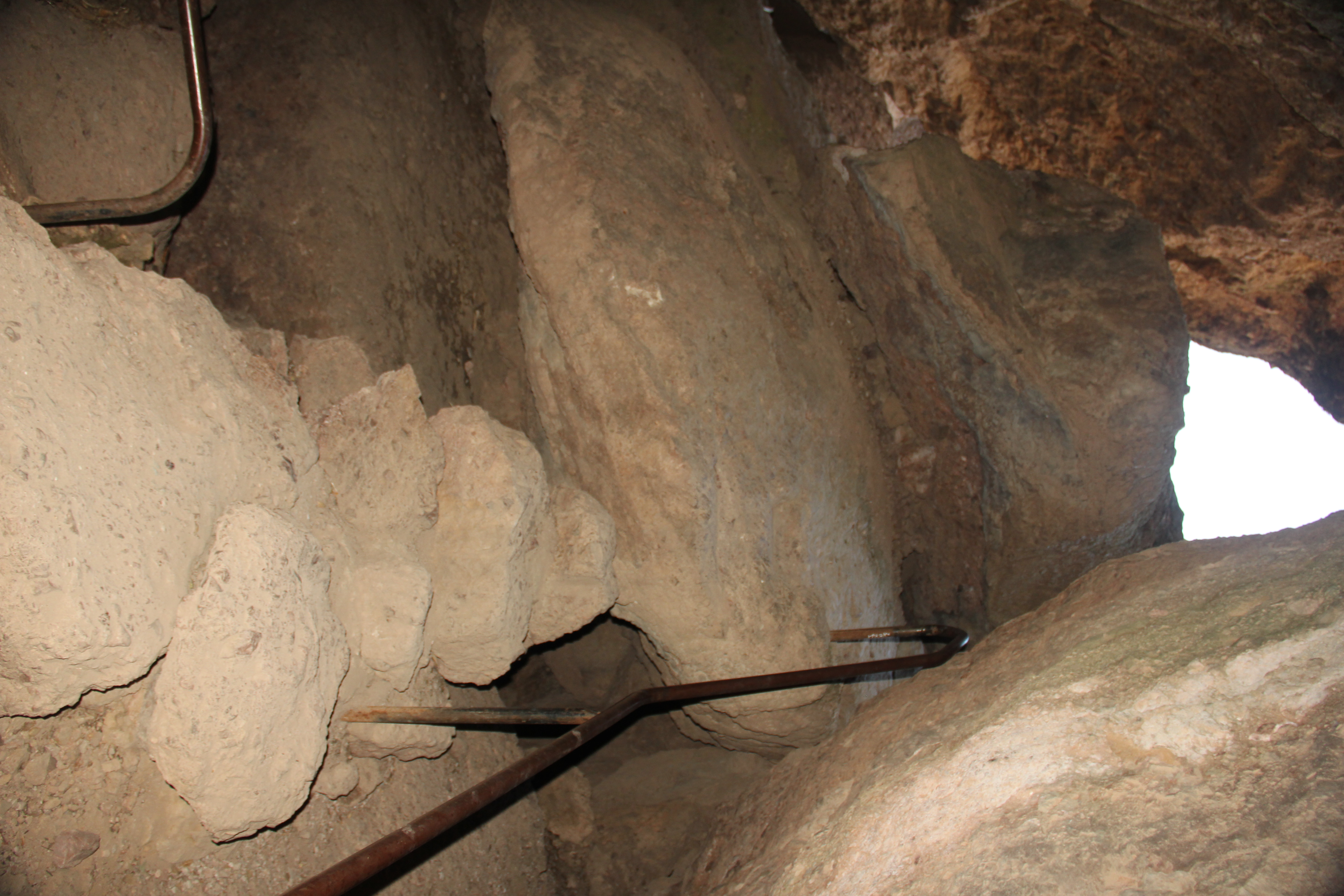
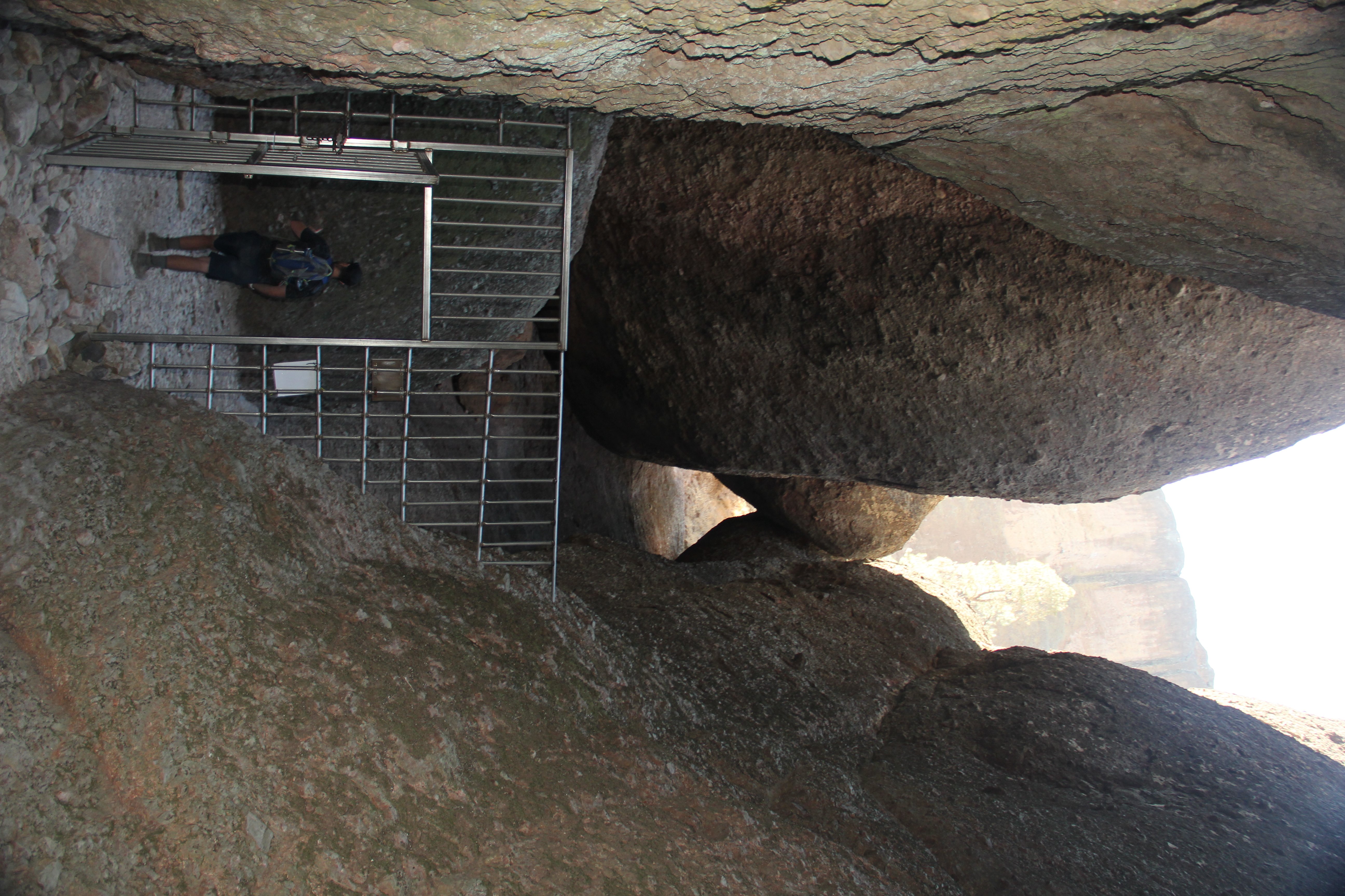
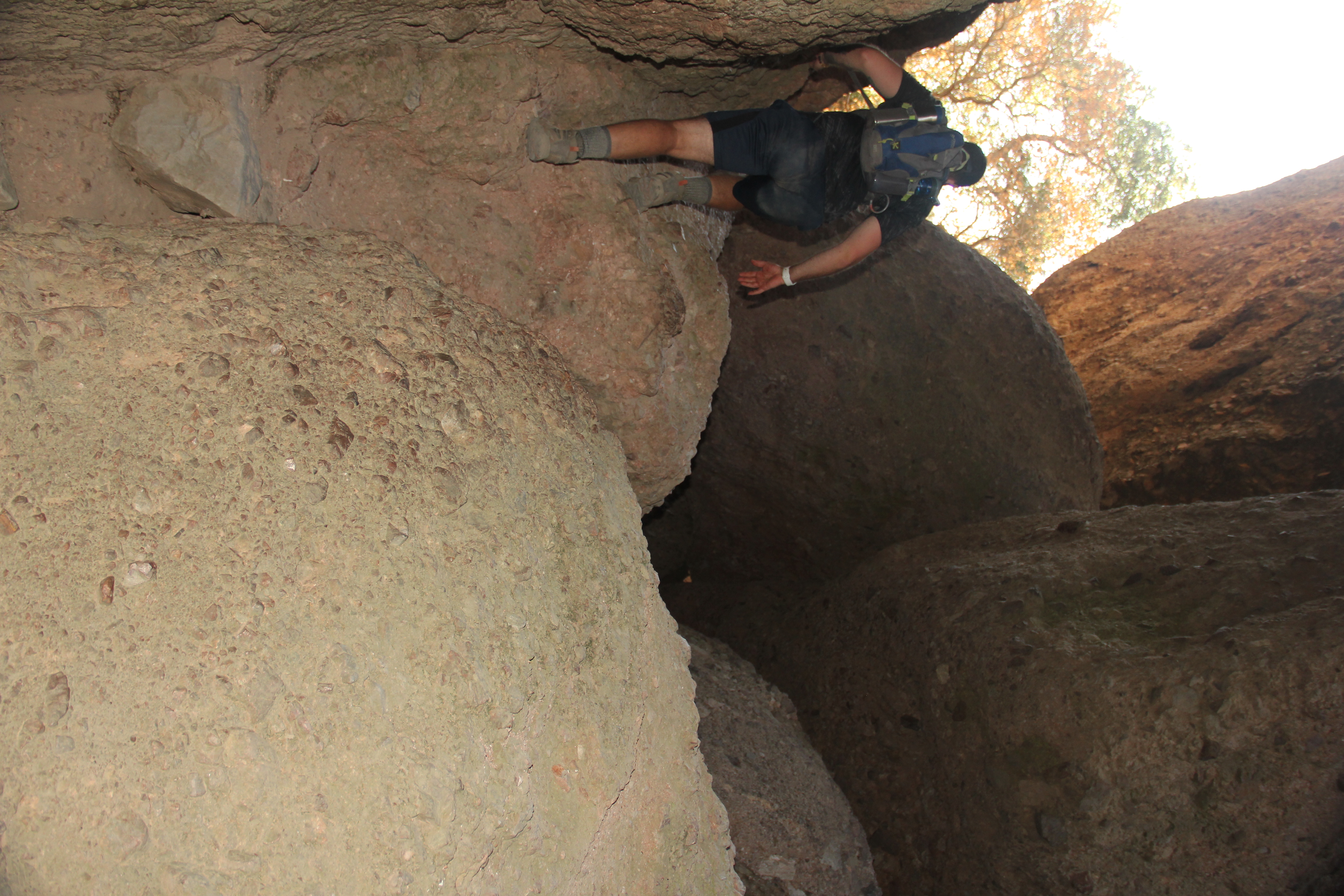
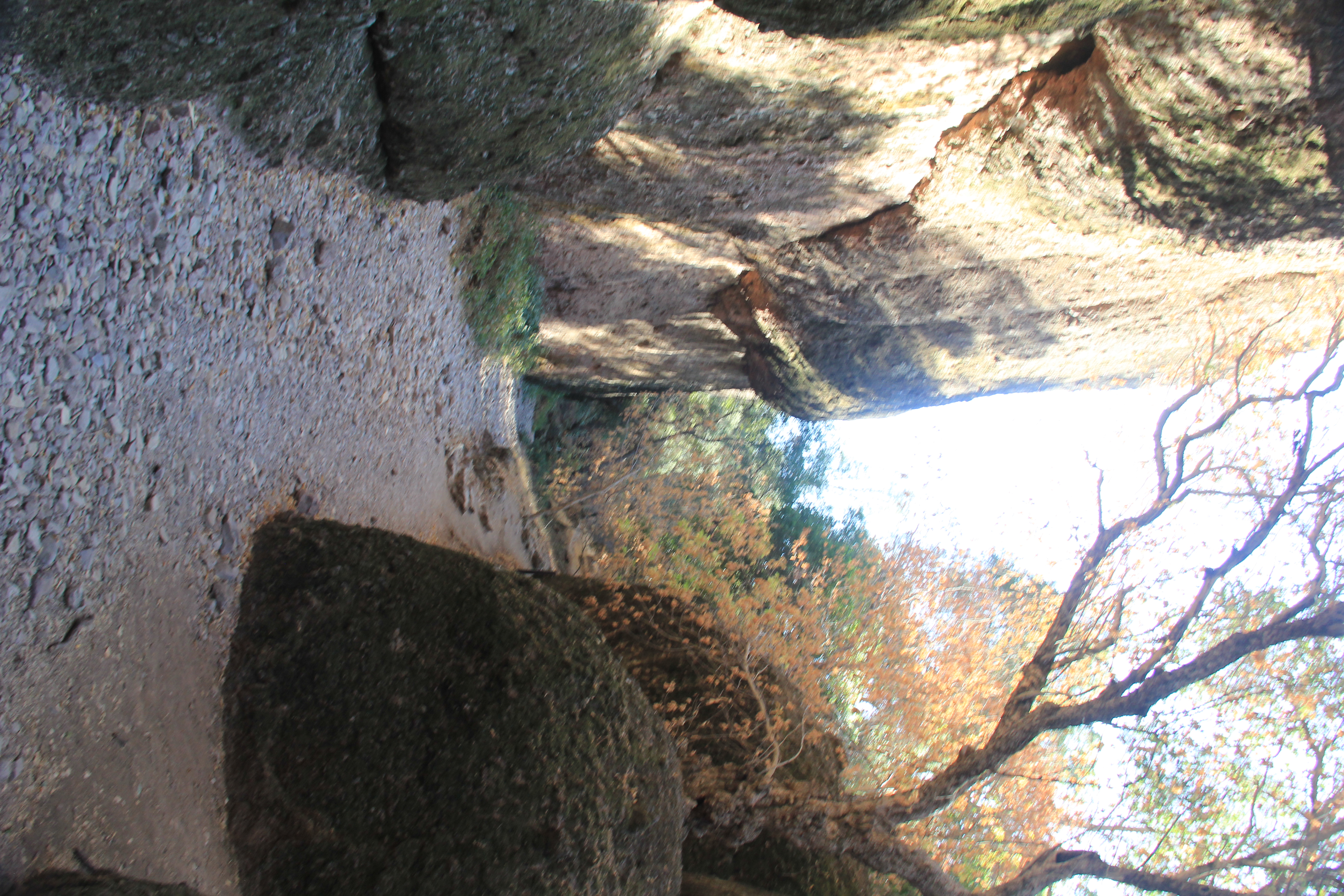
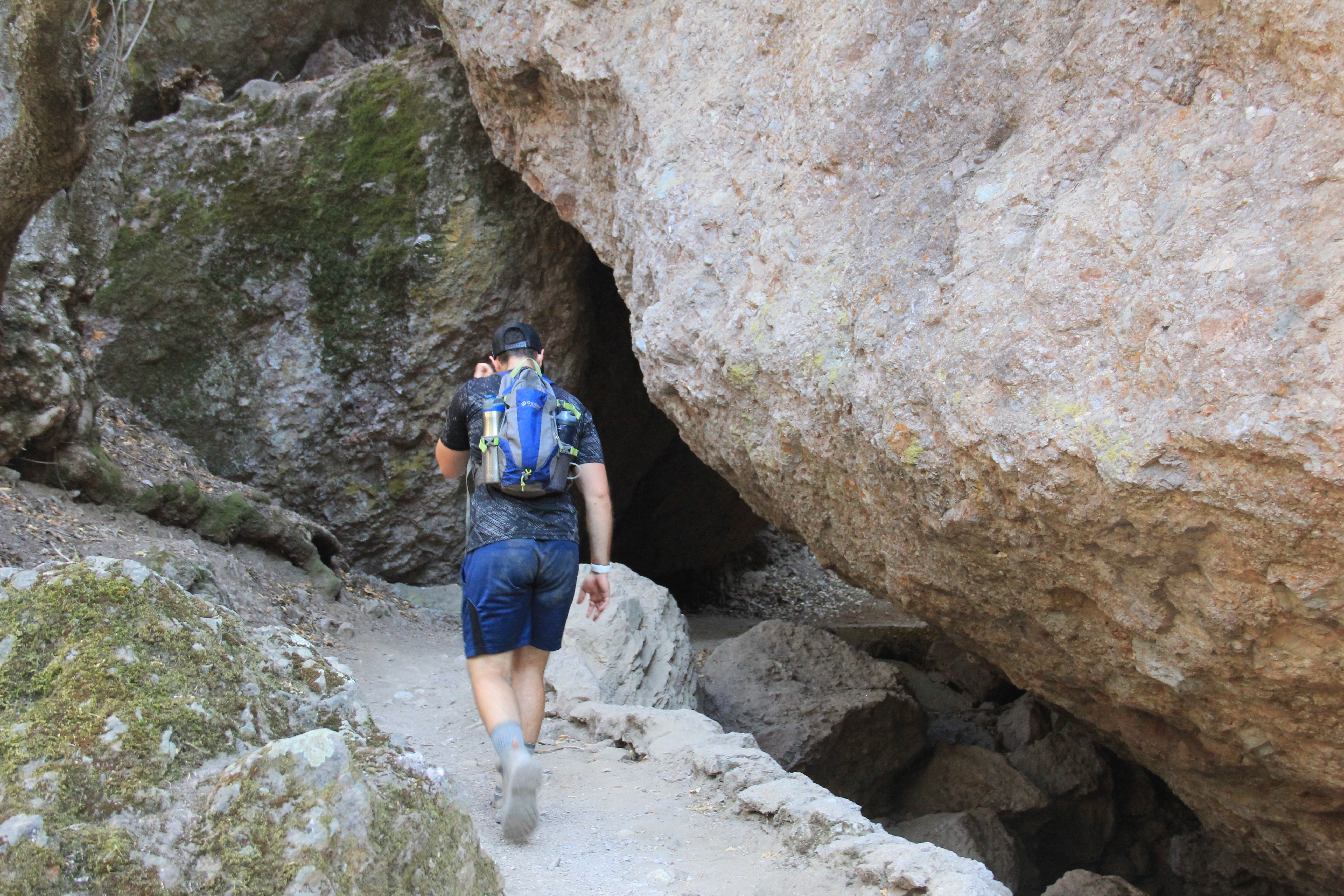
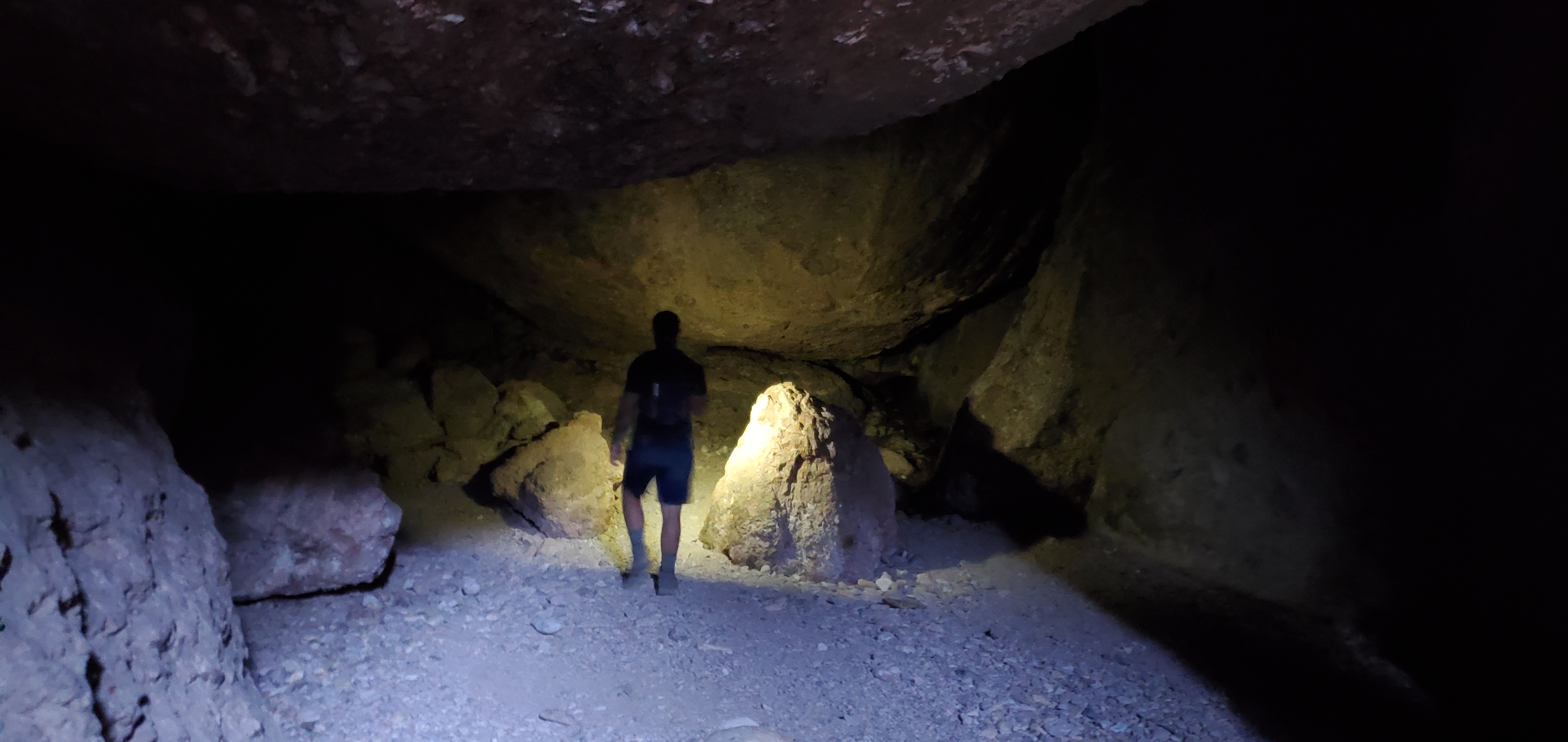
Bear Gulch Cave Loop Trail
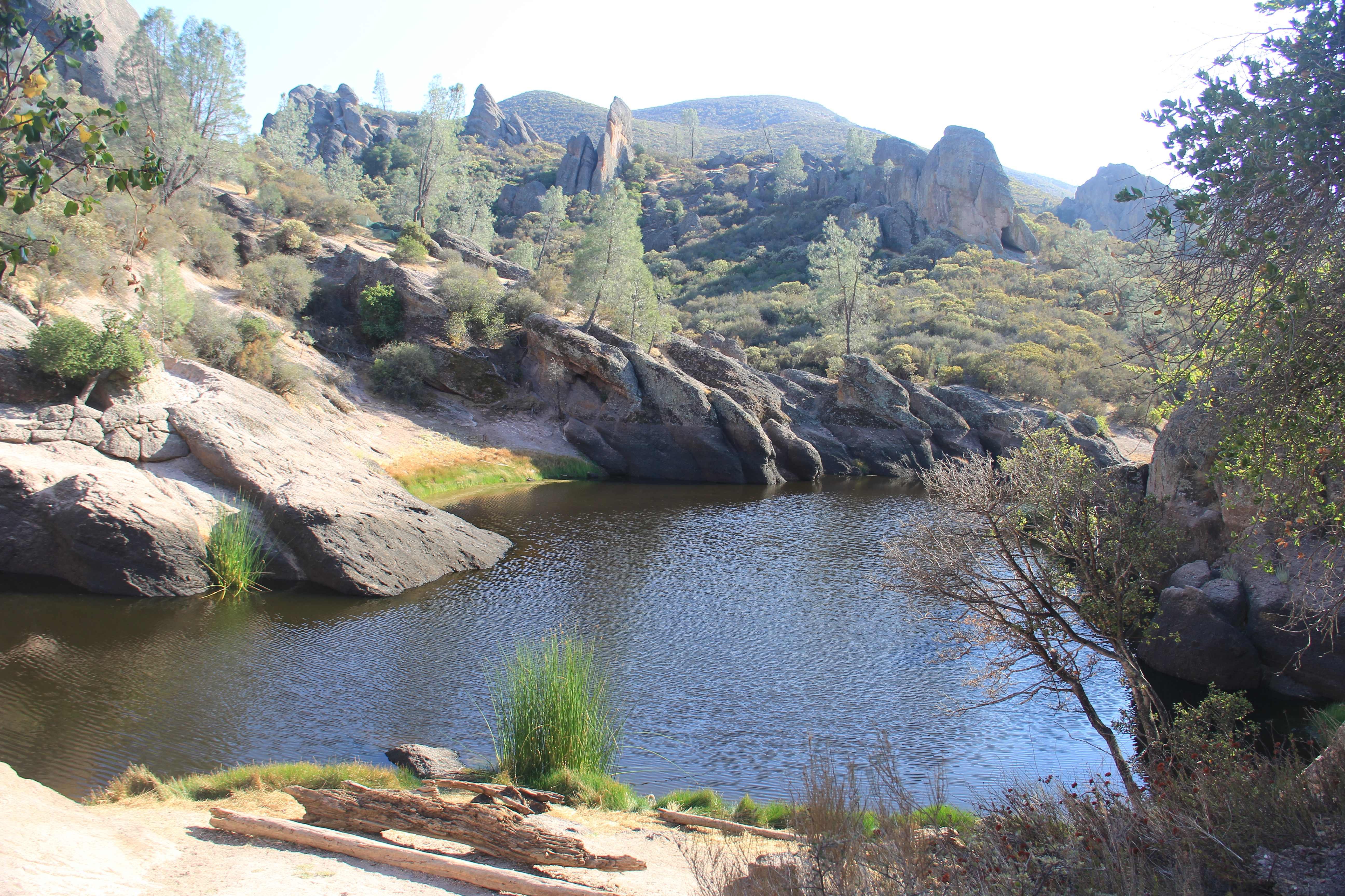
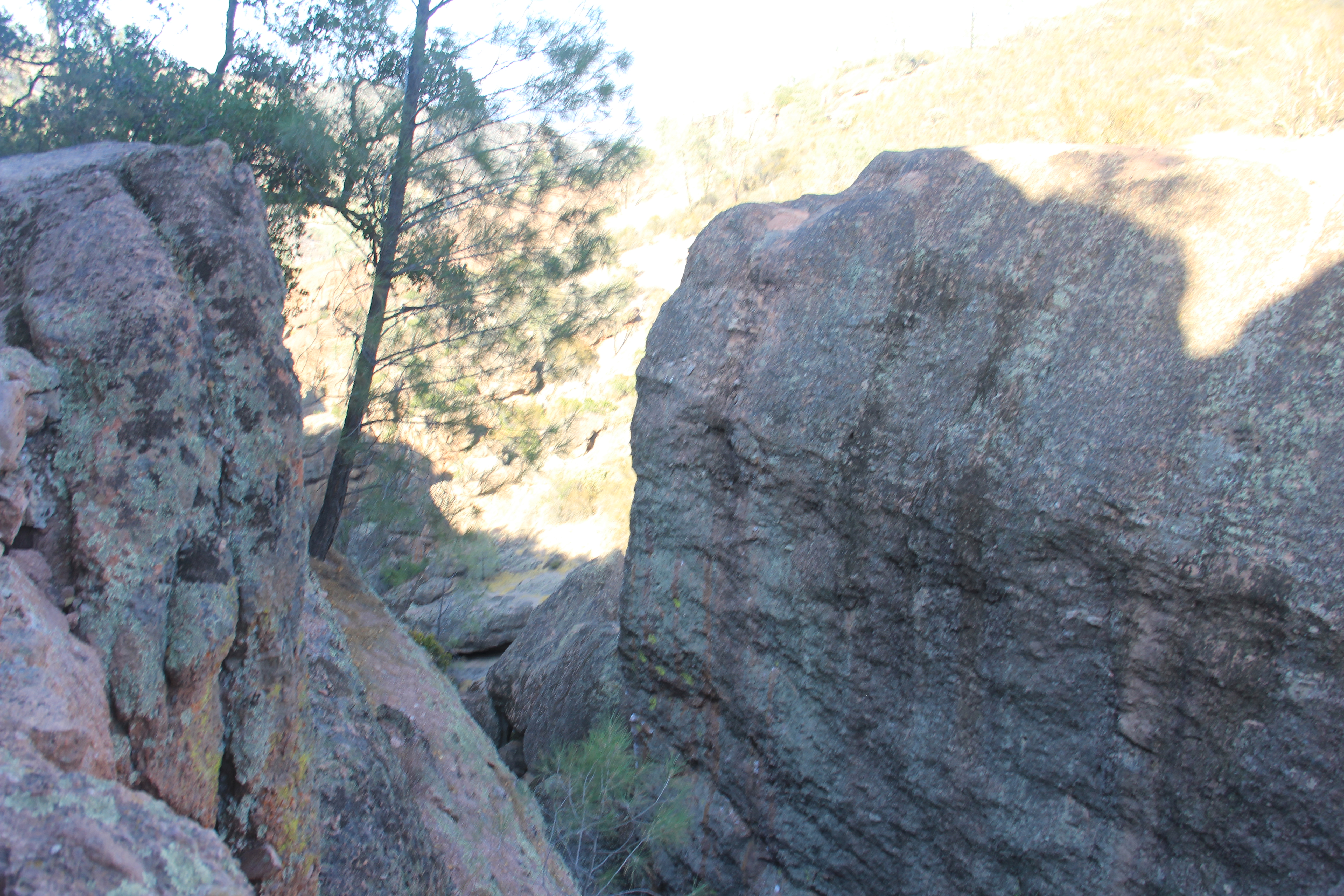
This hike took us to and through the bear gulch cave, it was bigger and longer than I had expected. Huge boulders wedged into place looking rather precarious. Then brought us to the Bear Gulch
Reservoir. We hung out for a while there before looping back to the start.

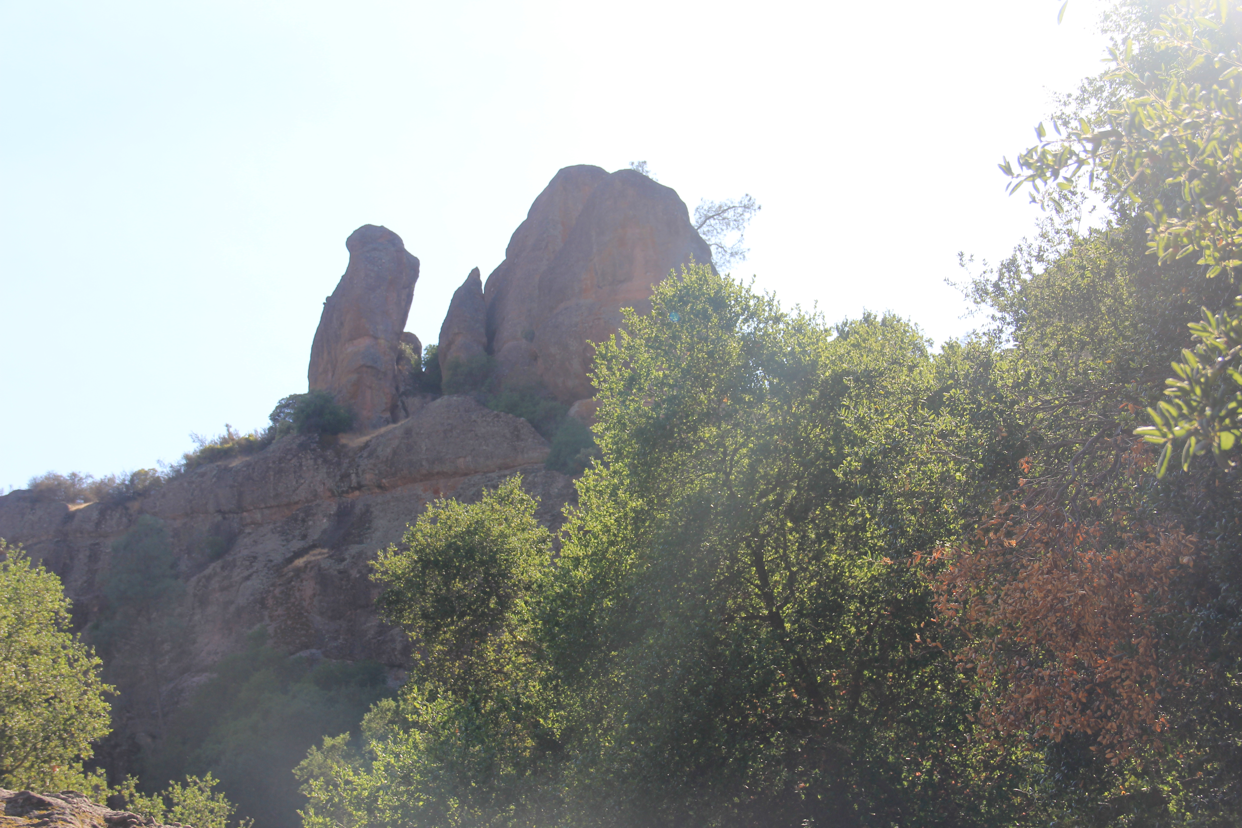

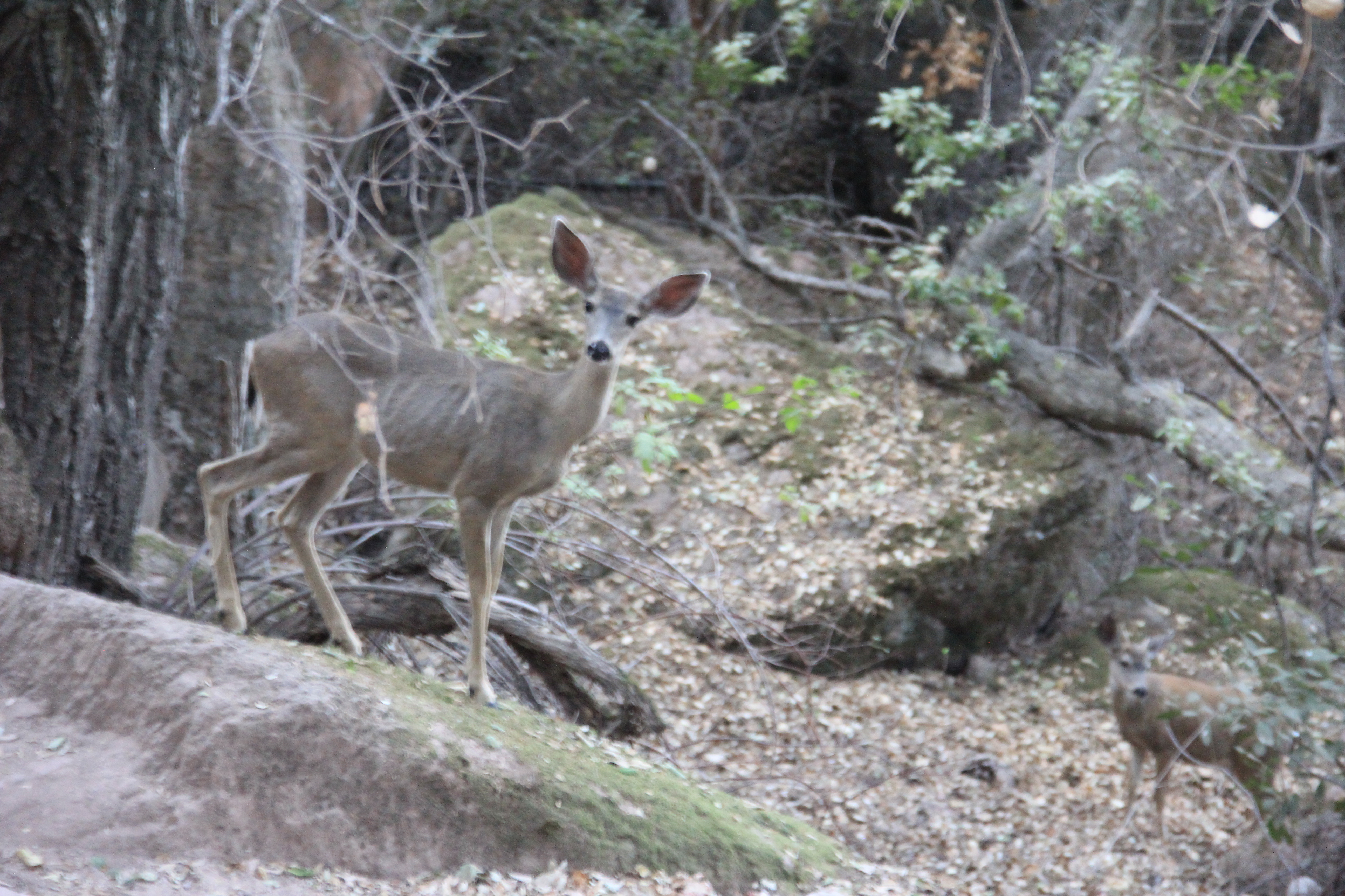
Condor Gulch Trail
Since it was getting late we did a short hike to finish the day. Up hill the whole way out to a nice look out point. On the way back down we saw a few deer. One, I got a picture got quite close
to us. Didn't seem to mind humans.


After the Condor Gulch hike it was getting pretty late in the day. Our hotel was not too far from the West entrance of the Park but, the road did not go all the way through the park so, we had to go pretty far around to get to the hotel in Soledad (another 40 mins of driving).
When we got to the hotel the woman at the front desk didn't seem to know what she was doing. She gave us a room with only 1 queen bed. We went back to the front desk and a manager had to assist in finding us a two queen bed room which is what we had booked. However, luck was on our side. Jake used his credit card to pay for the room. The woman credited his account for two nights ($205). but, she never charged us for the room in the first place or the 2nd room. So, we actually made a couple hundred dollars and 2 free nights in the hotel. Better lucky than good!
We had dinner and beer at the adjoining restaurant which was pretty good.
Thursday, Sep 16
Weather: Another great weather day.
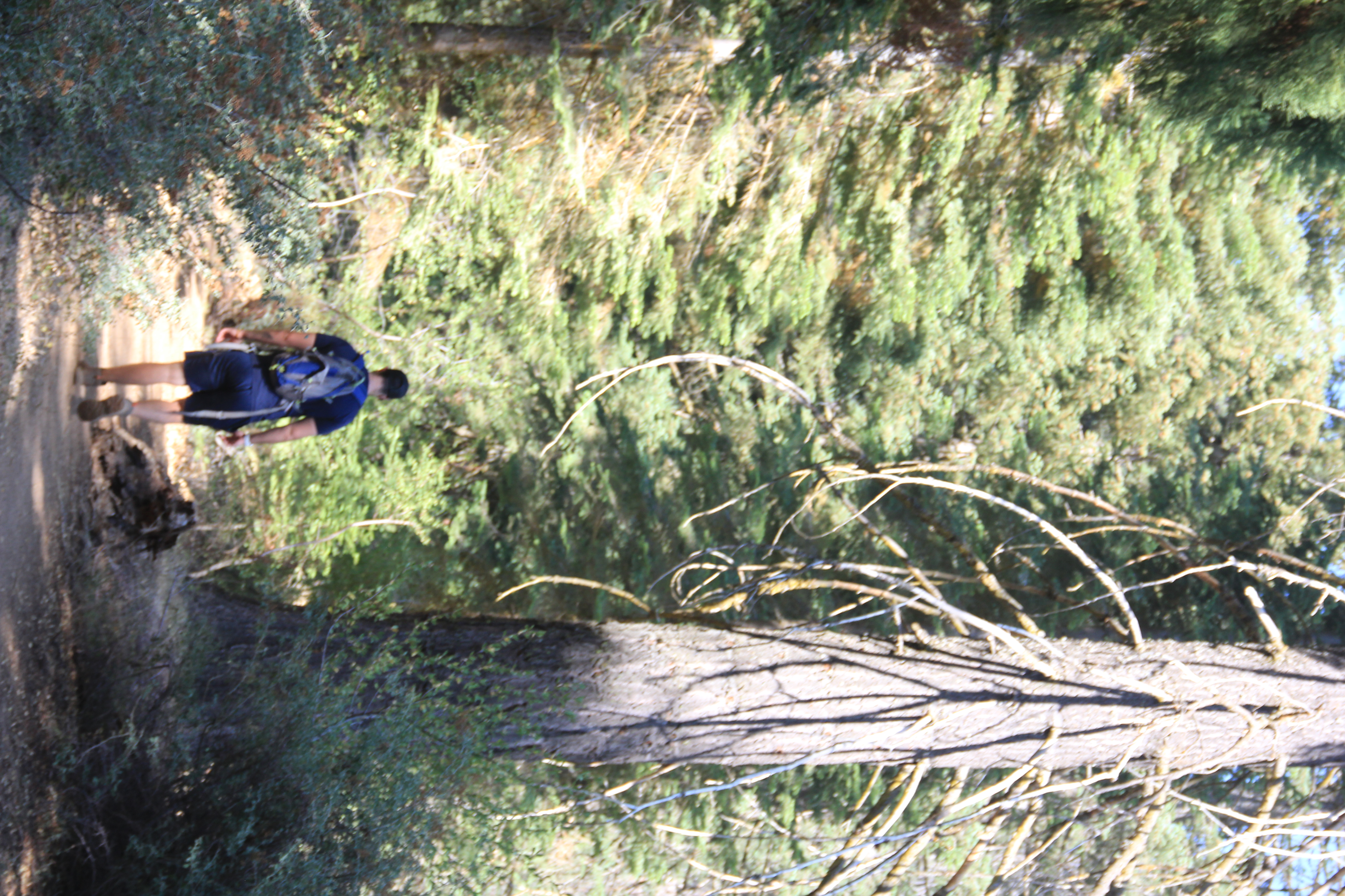
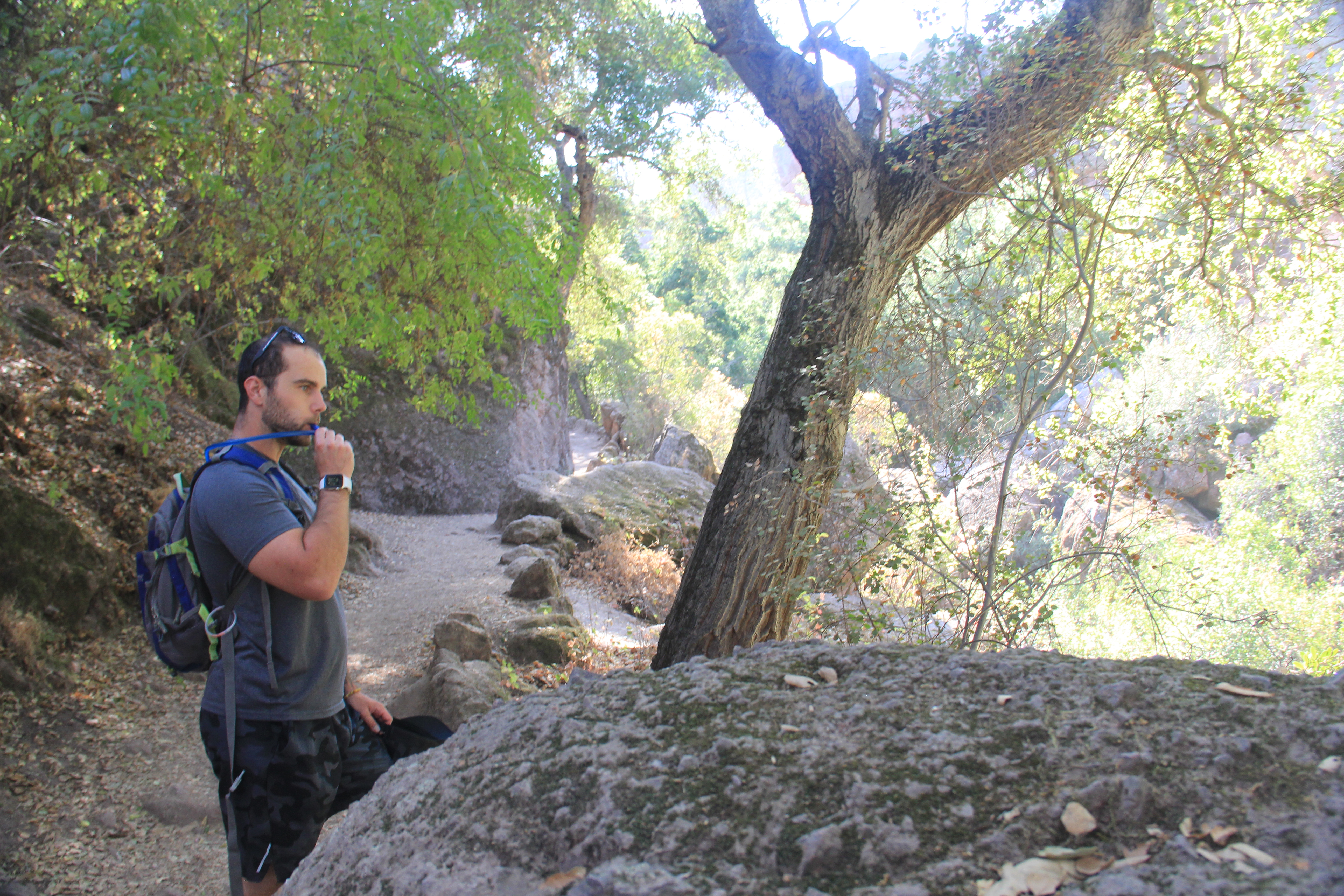
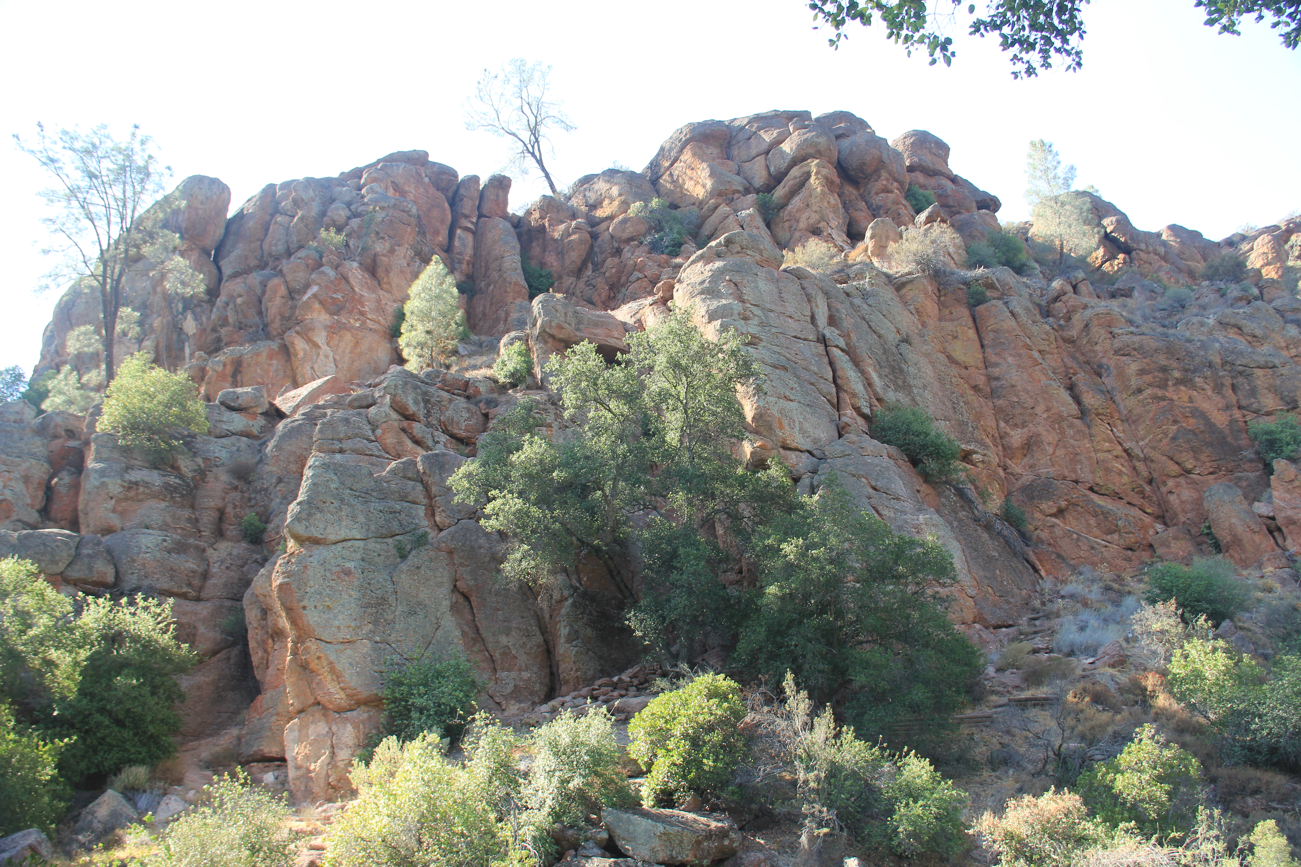
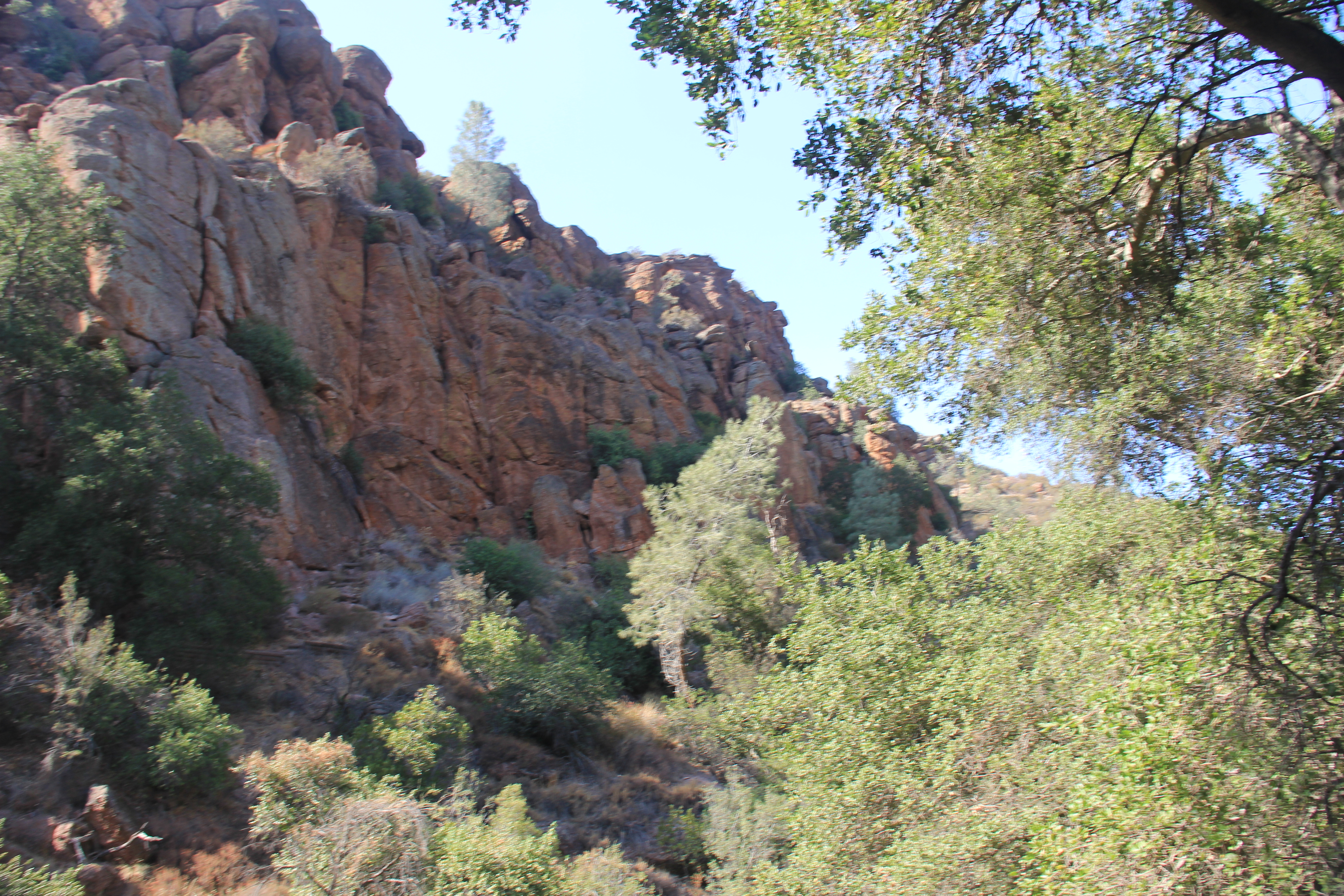
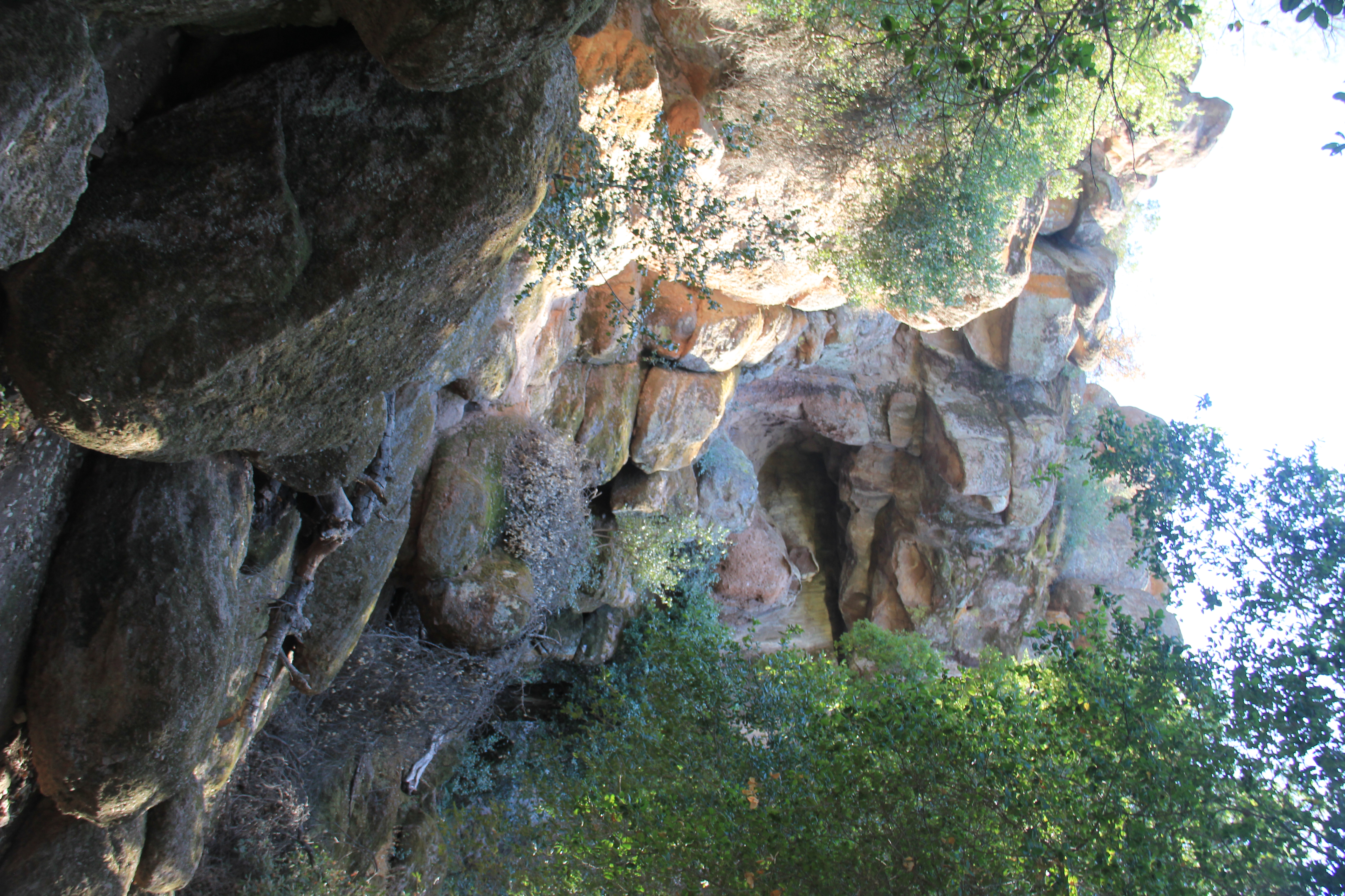
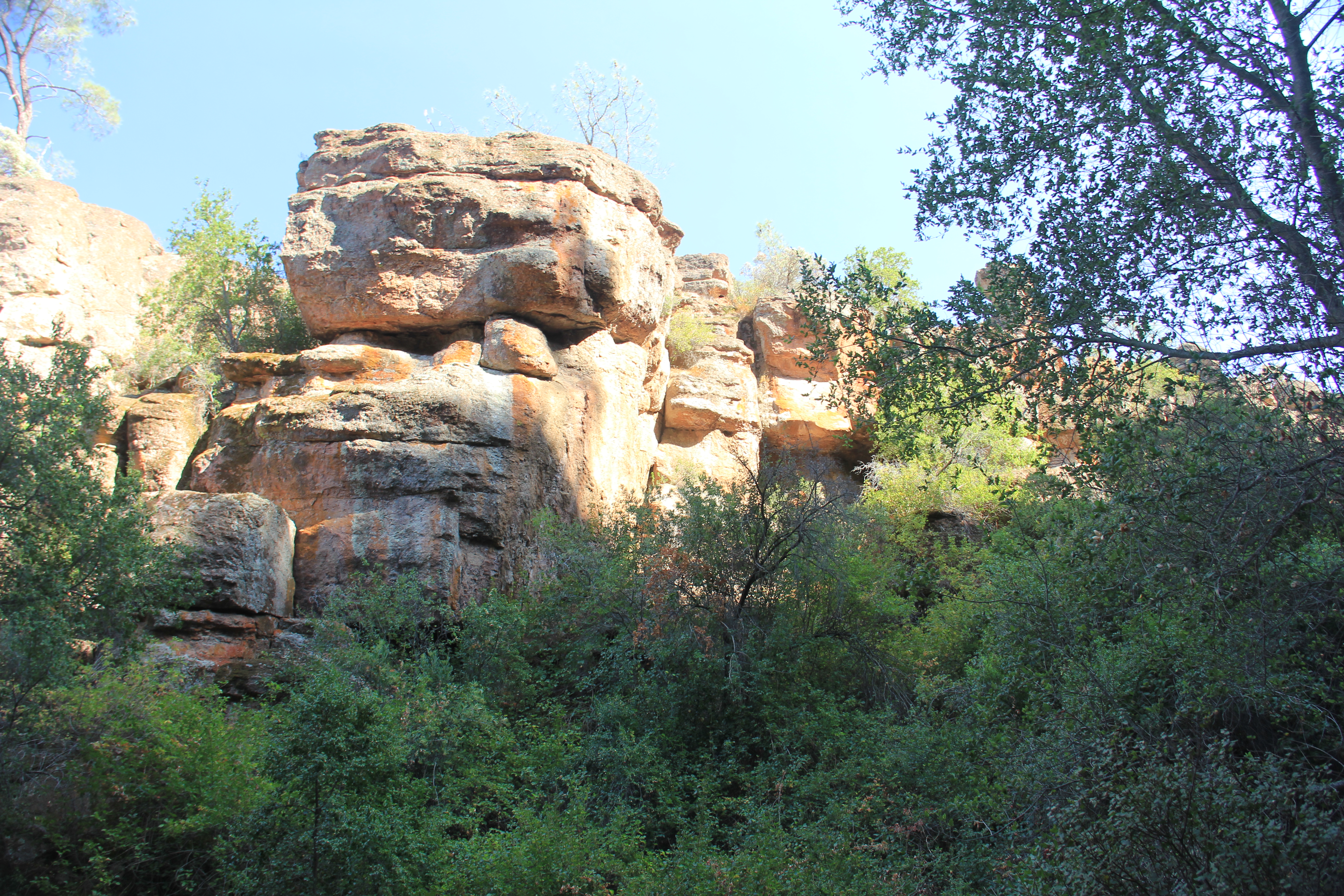
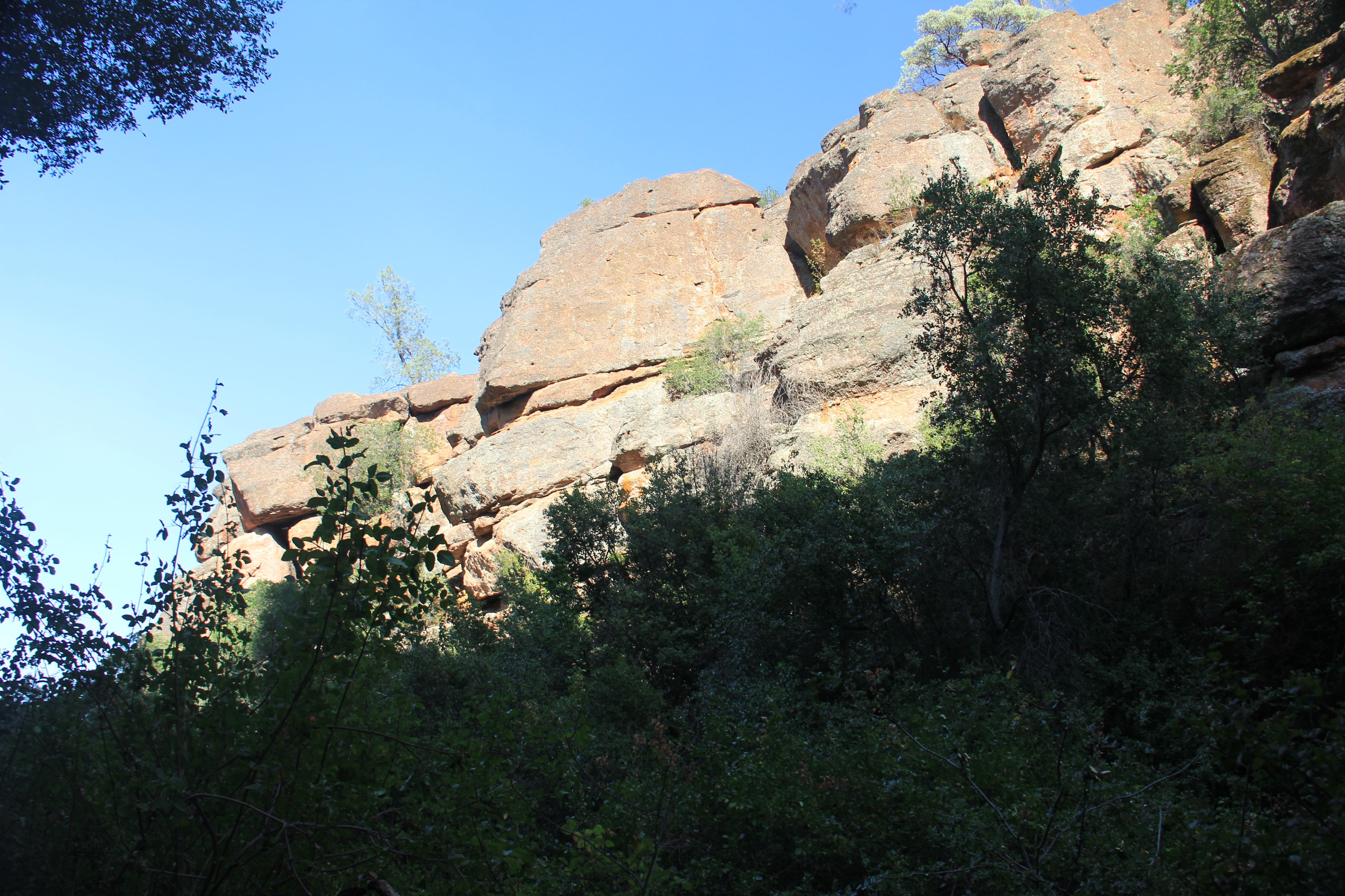
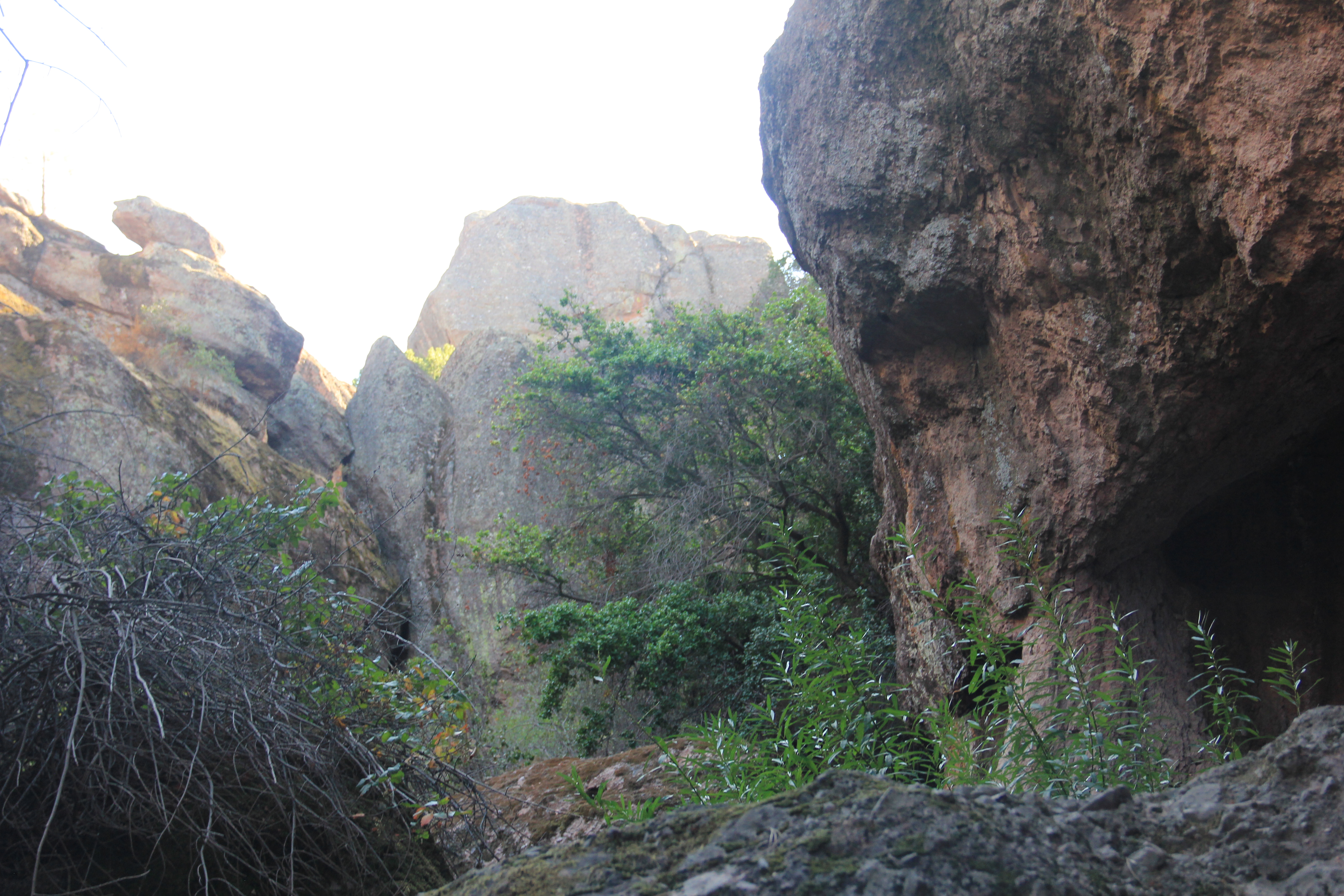
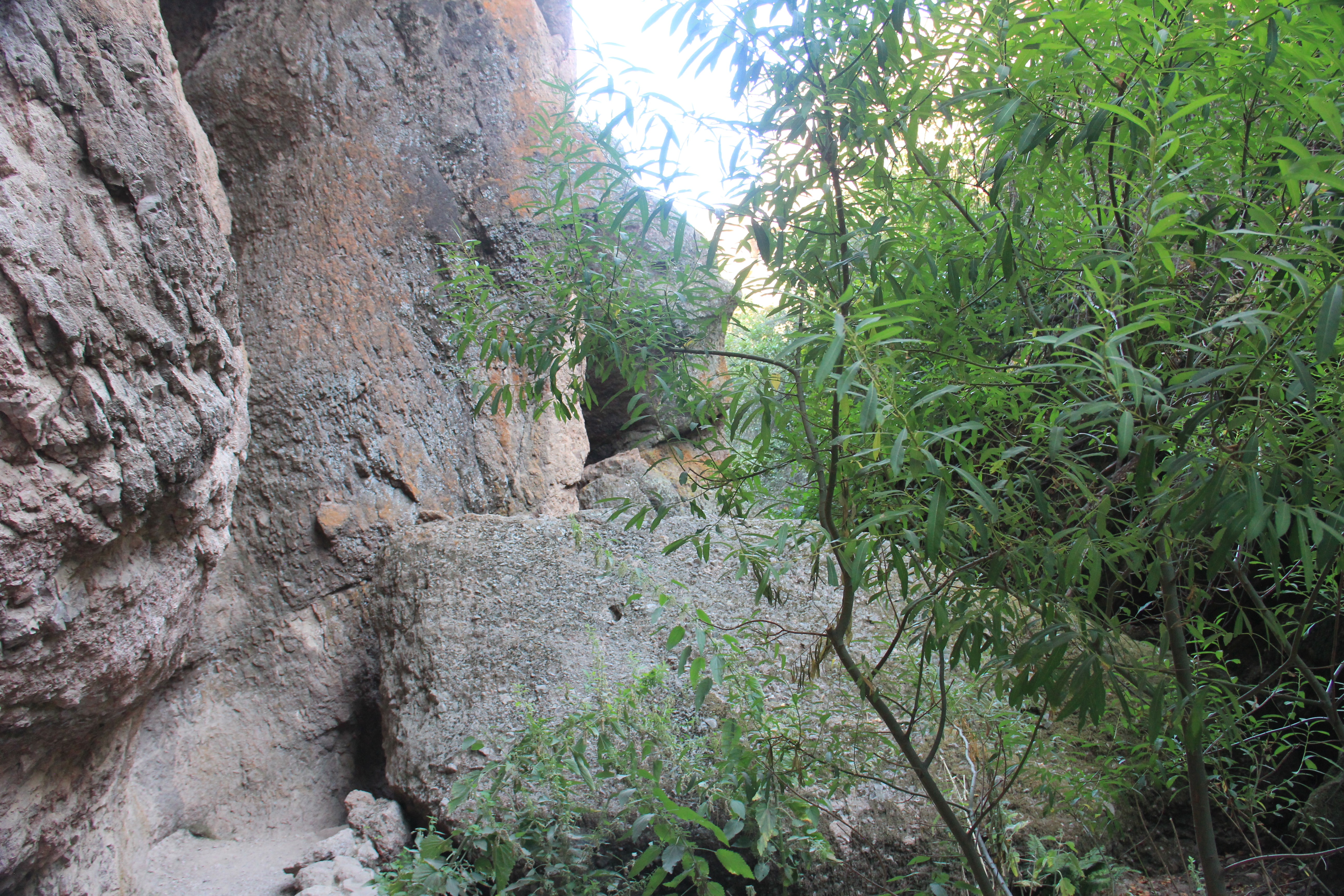
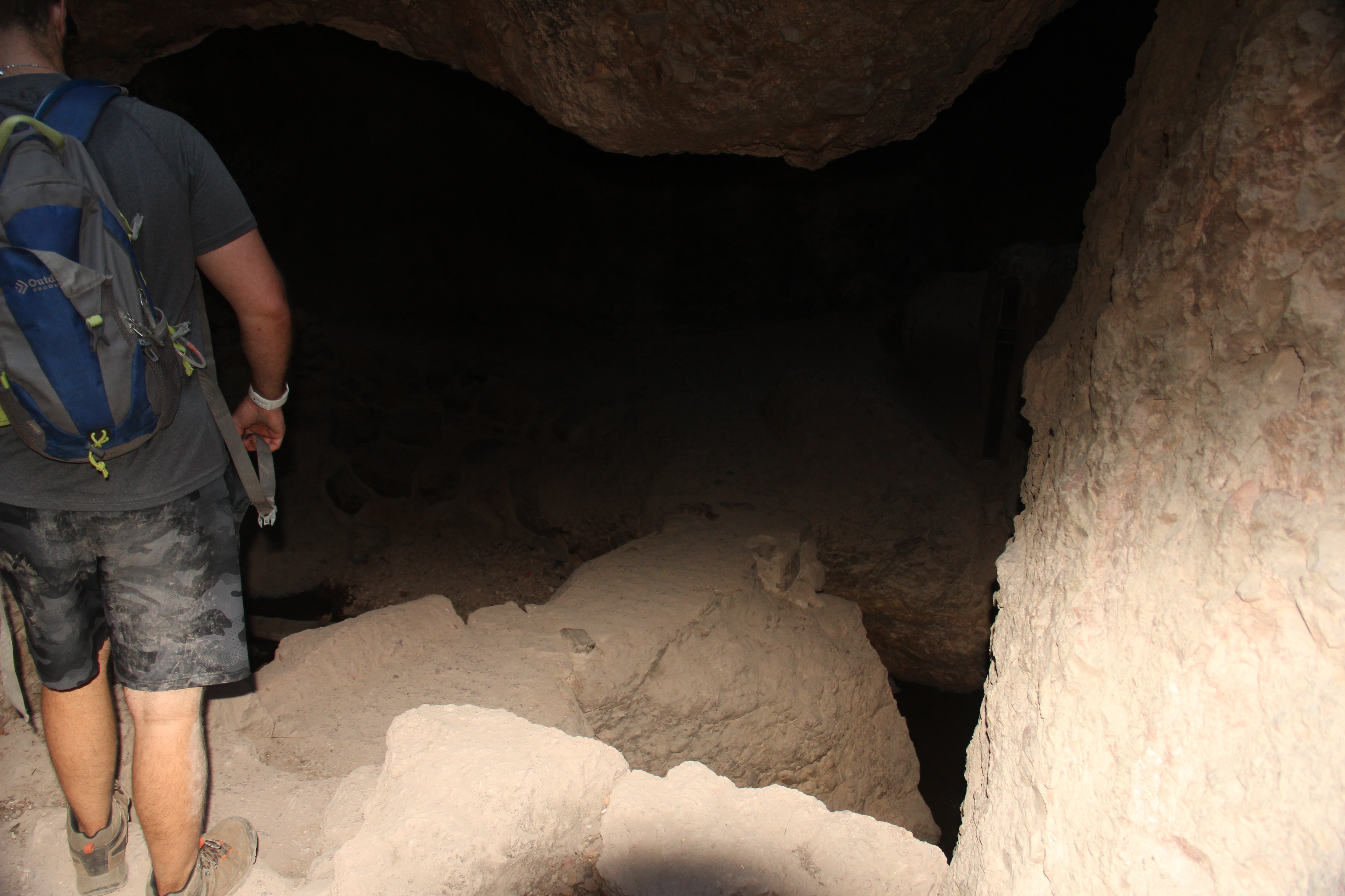
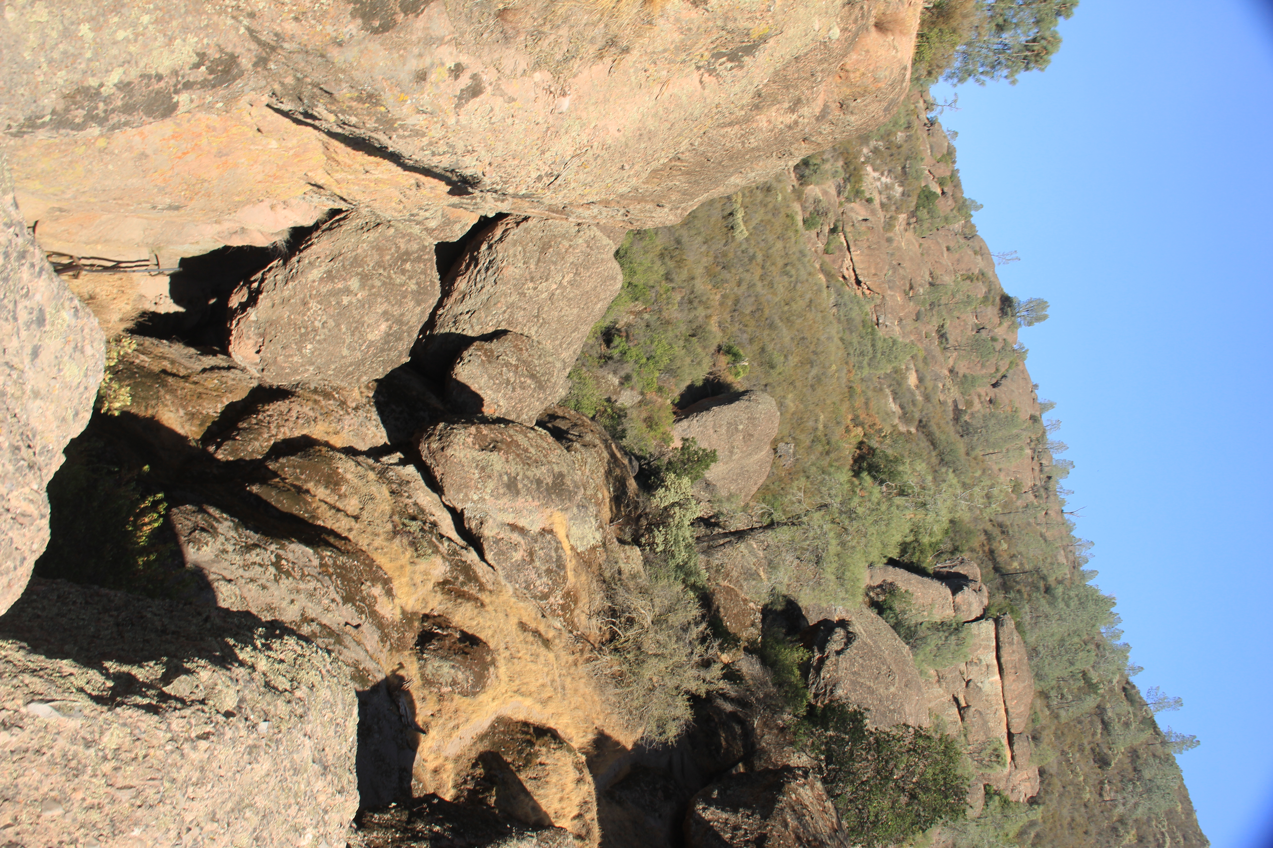
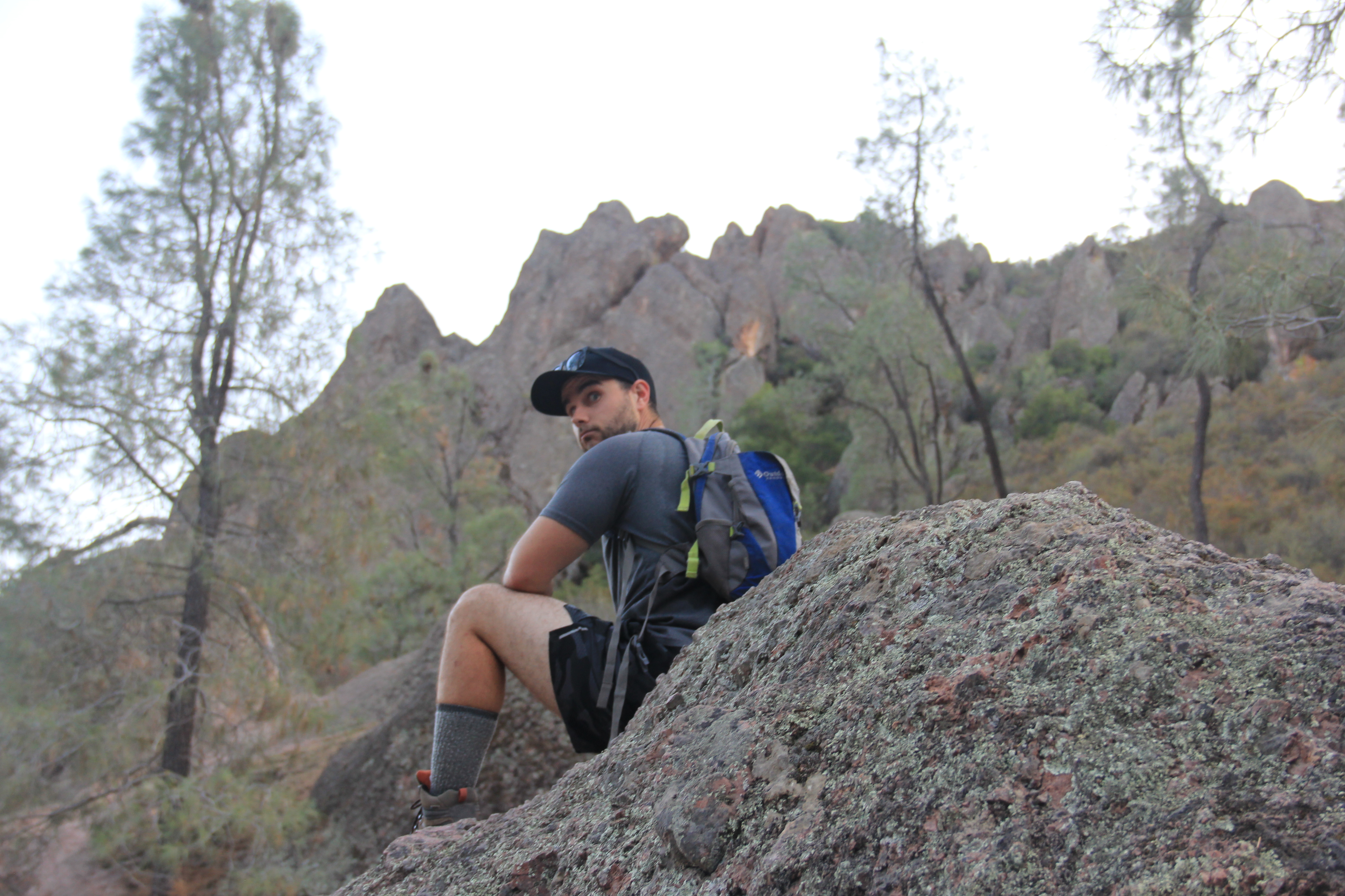
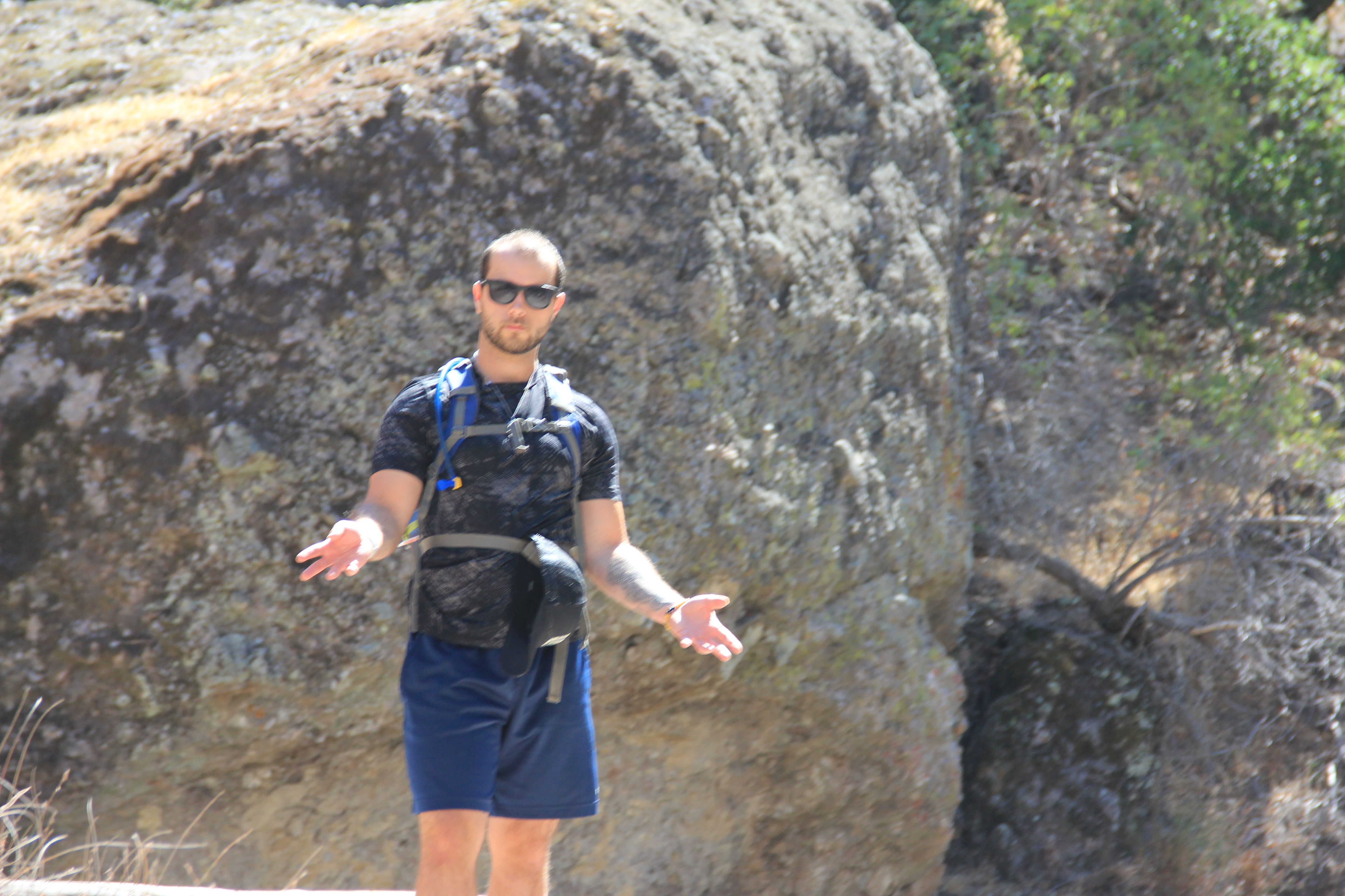
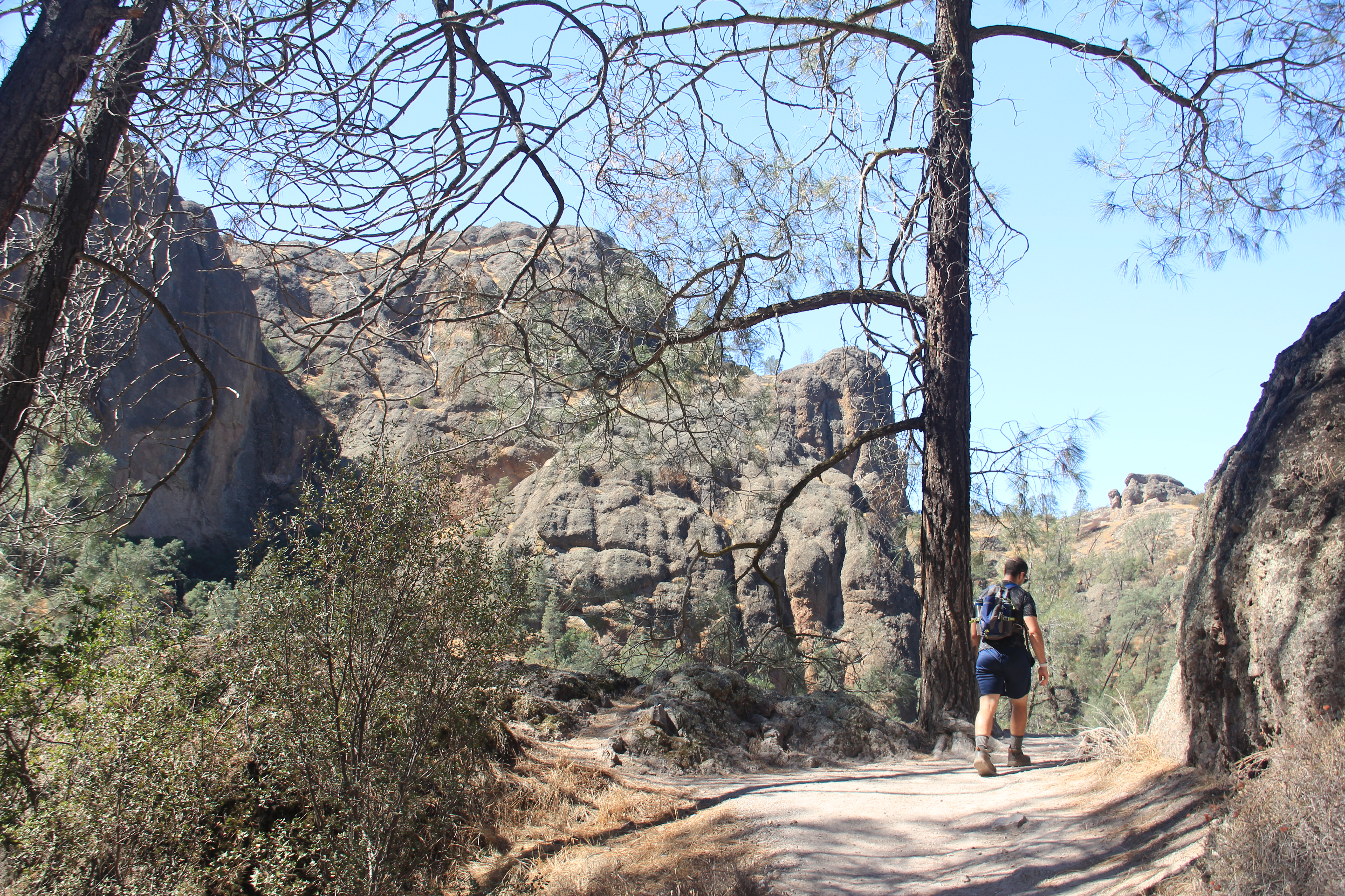
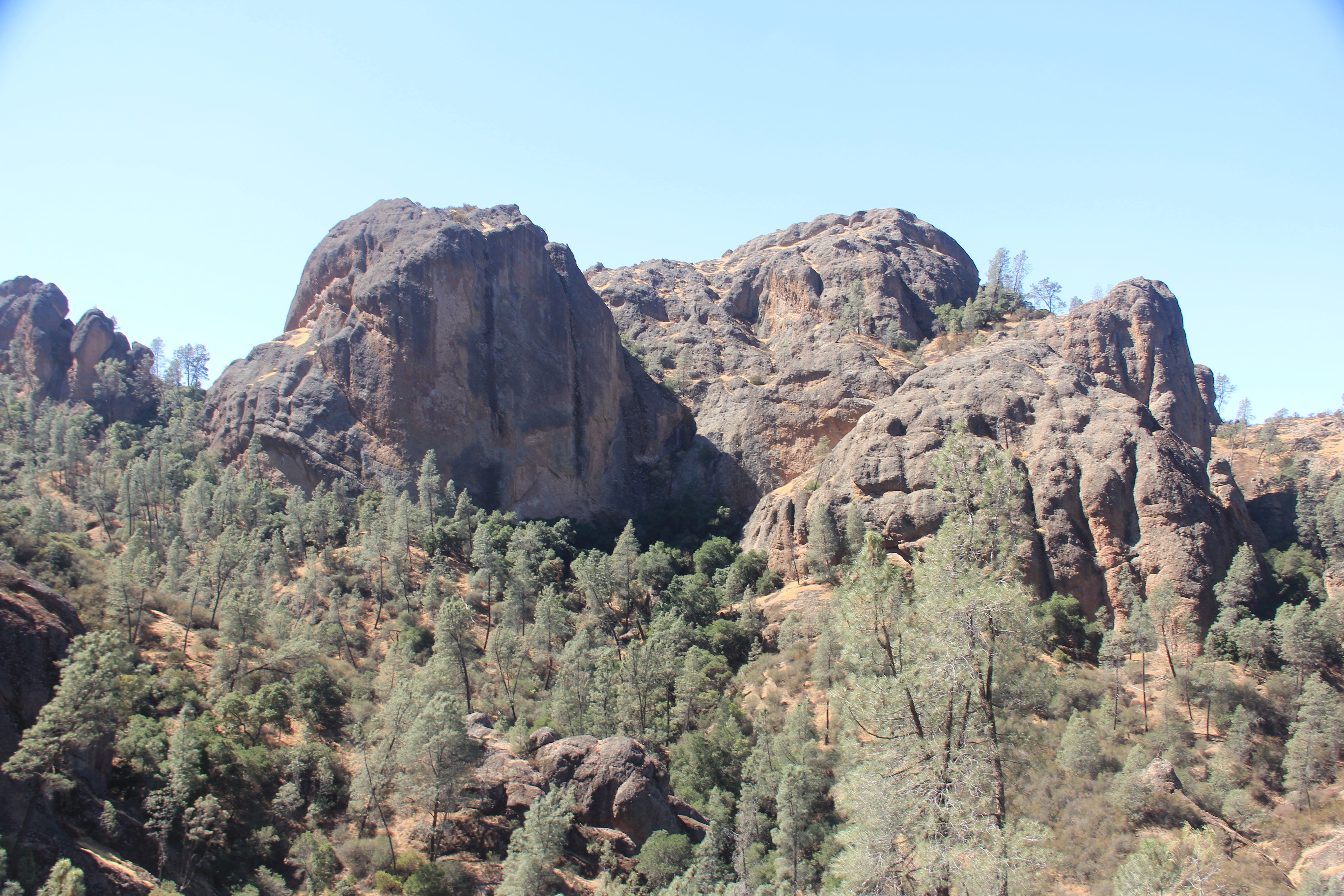
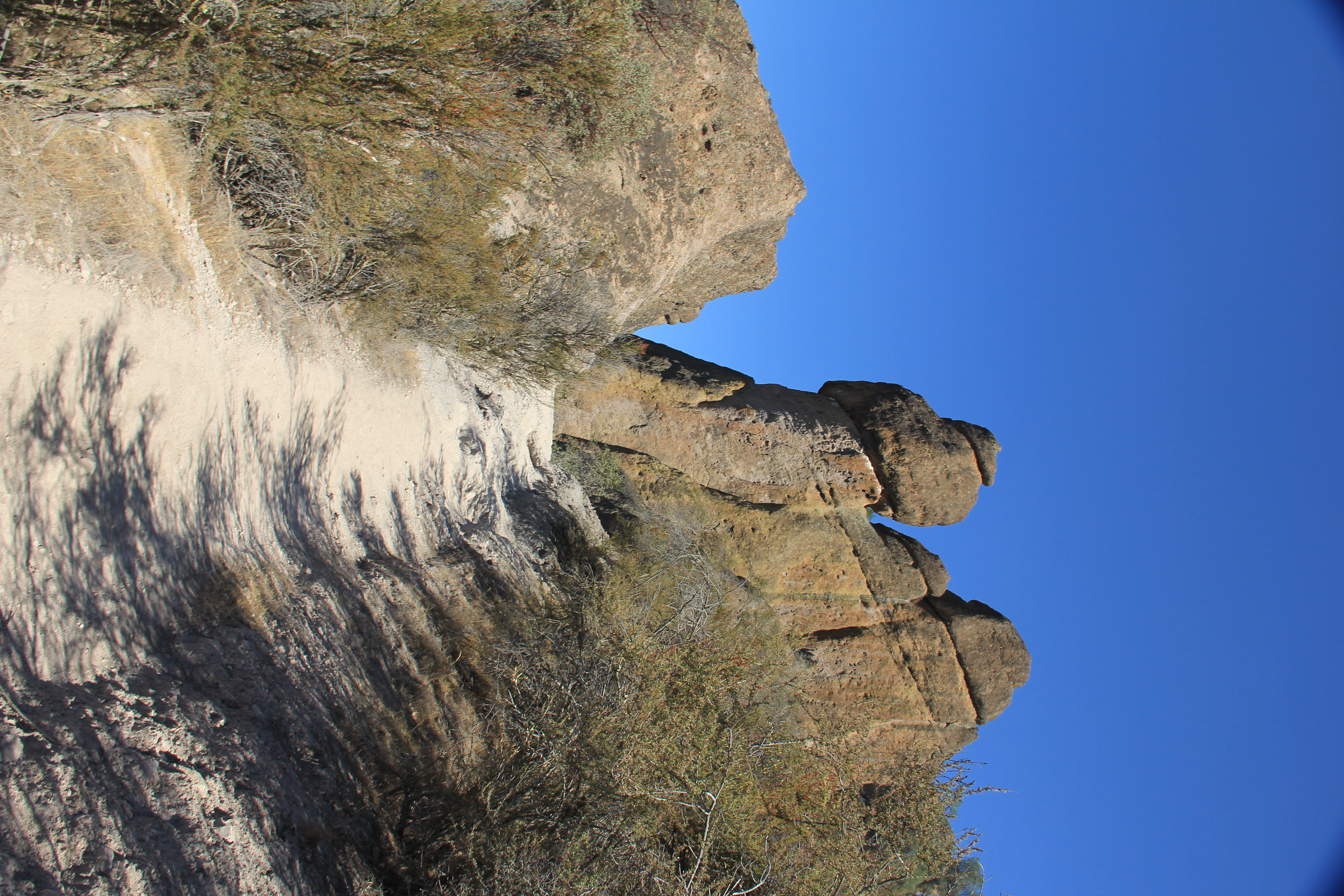
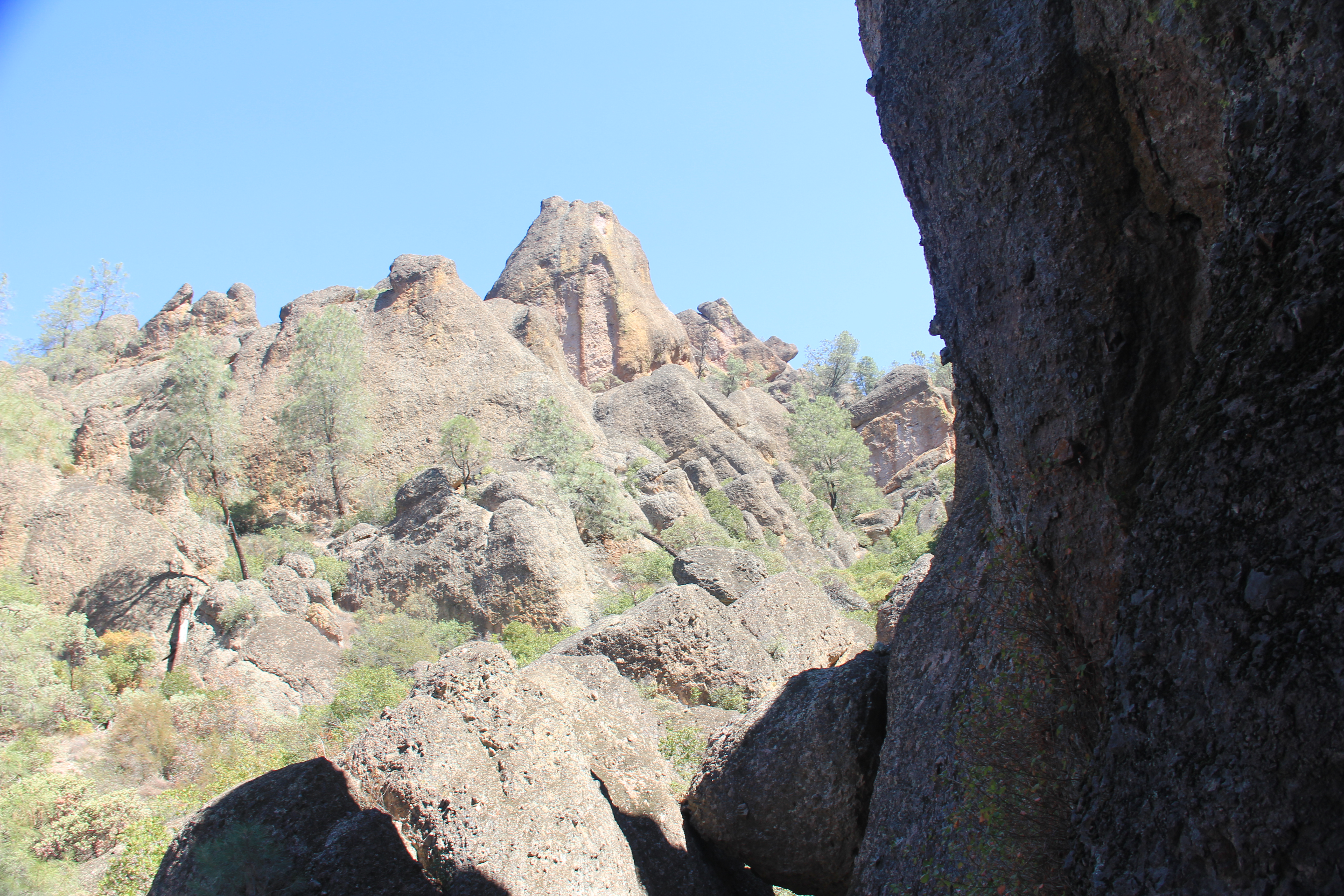
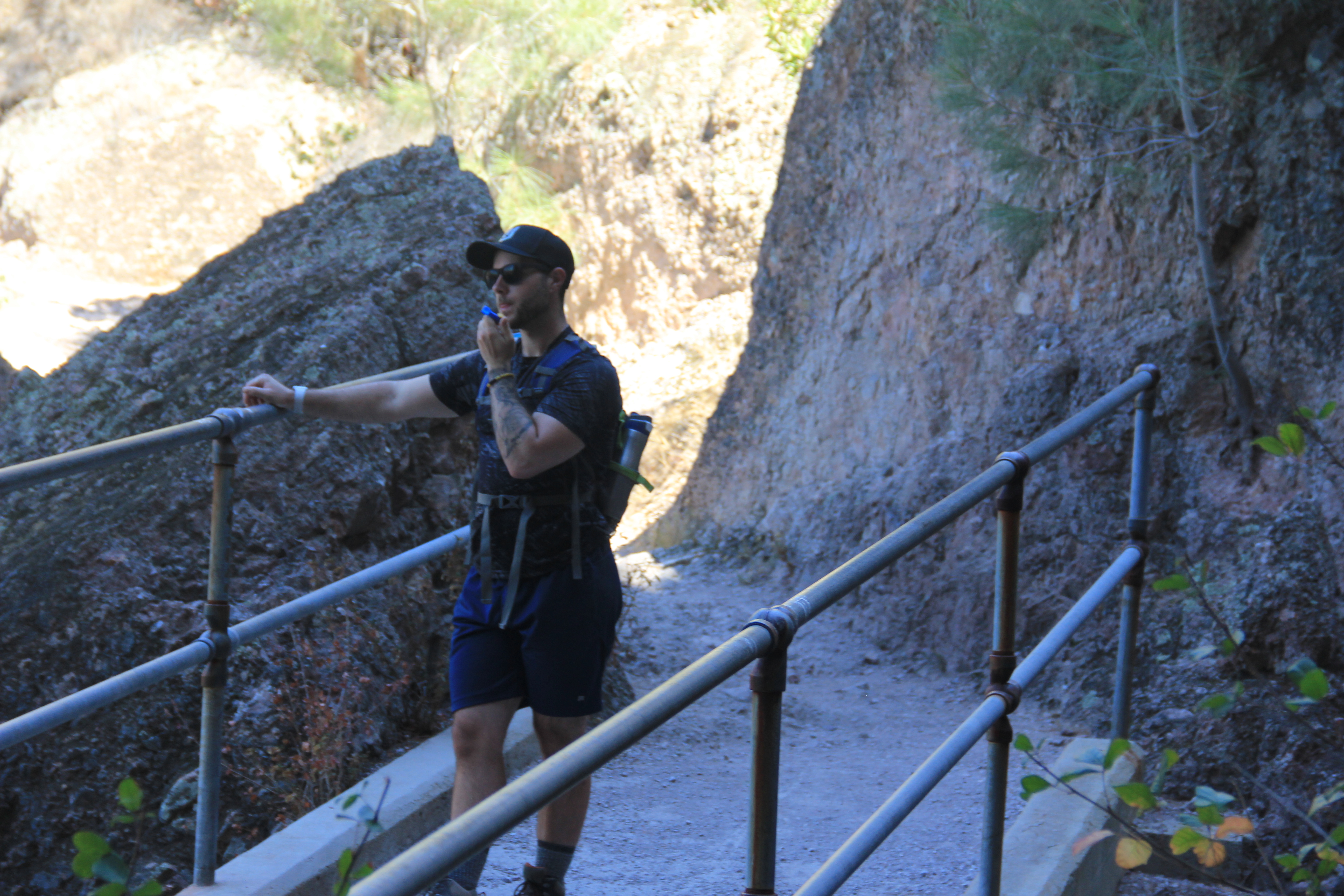
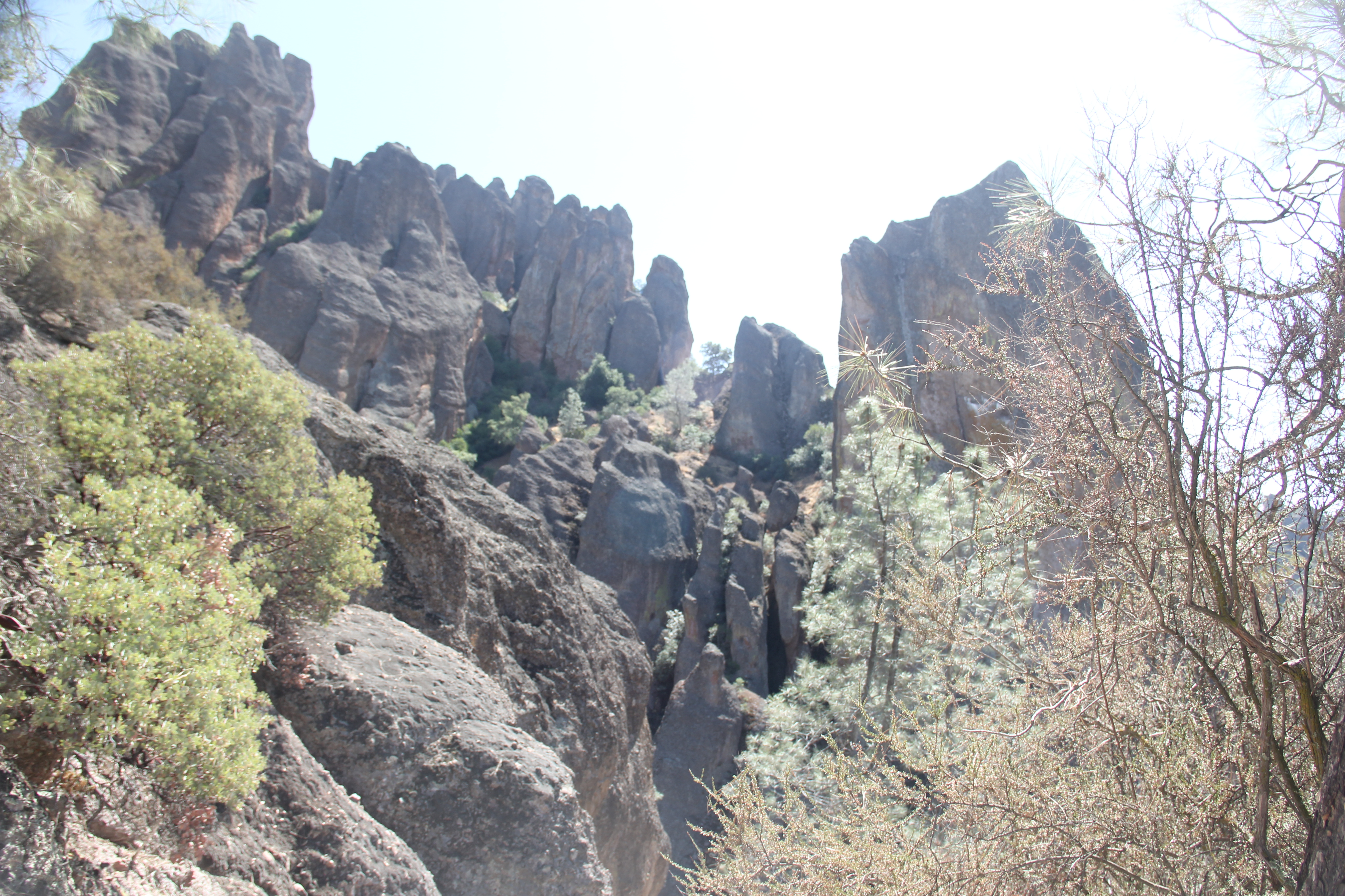
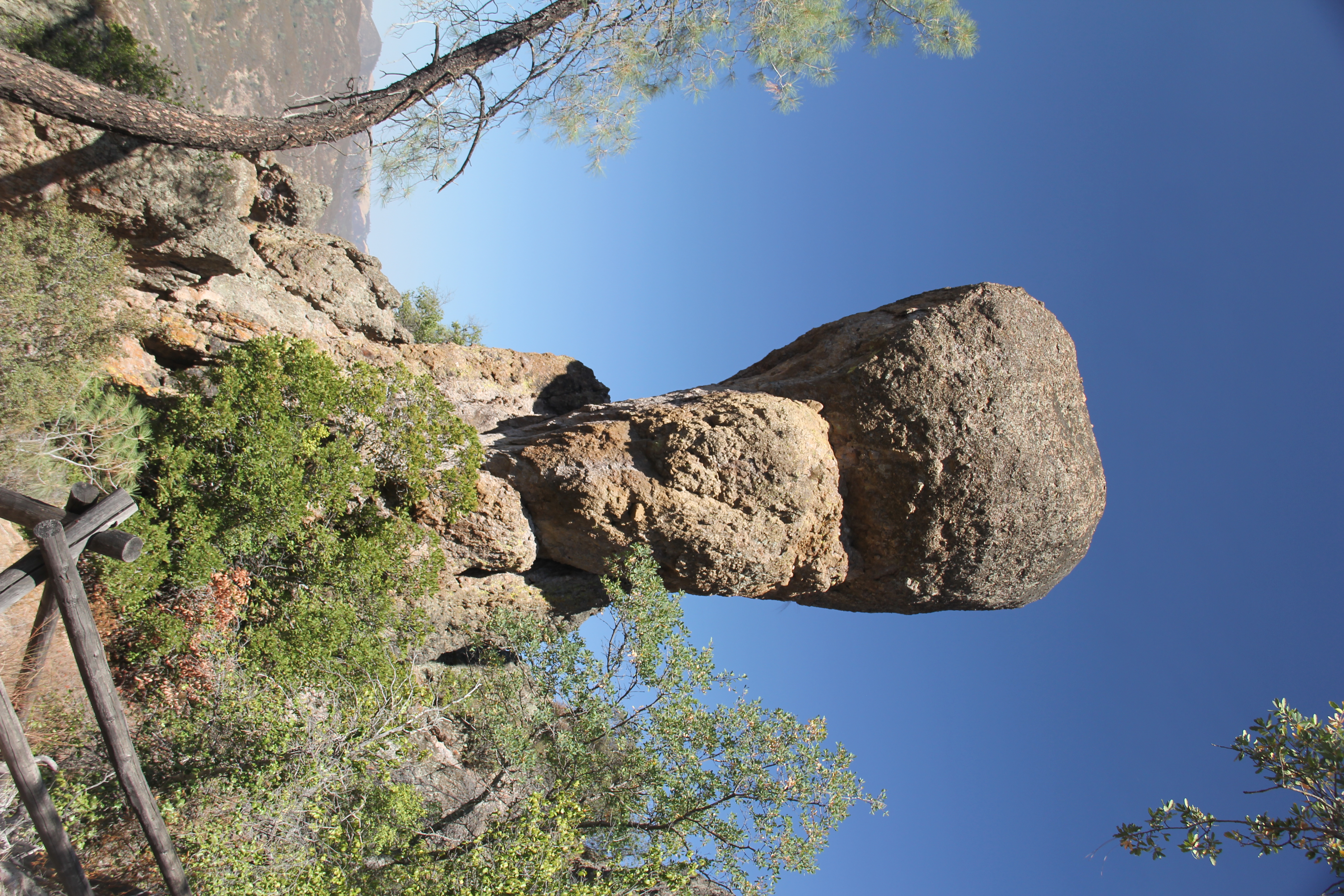
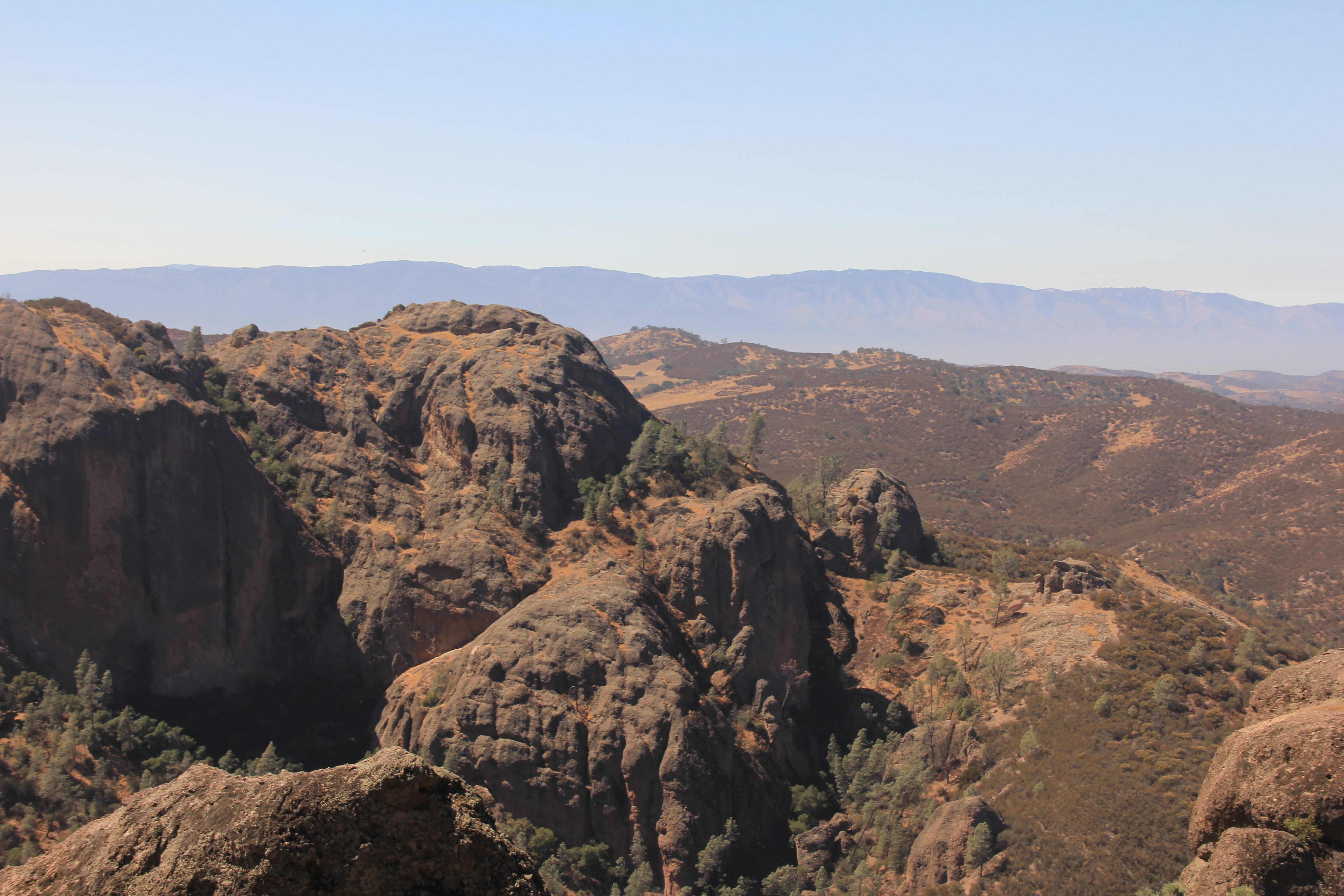
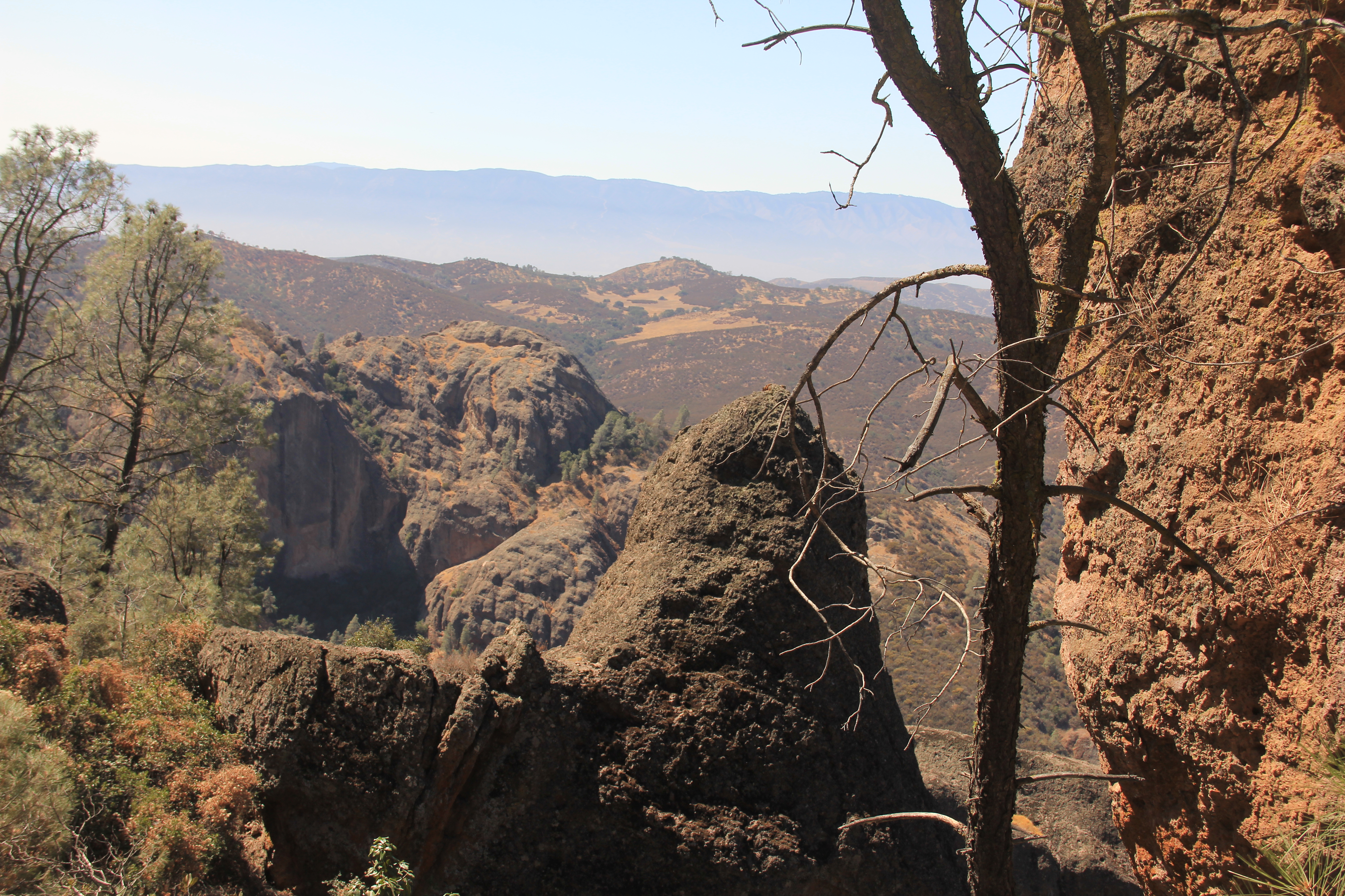
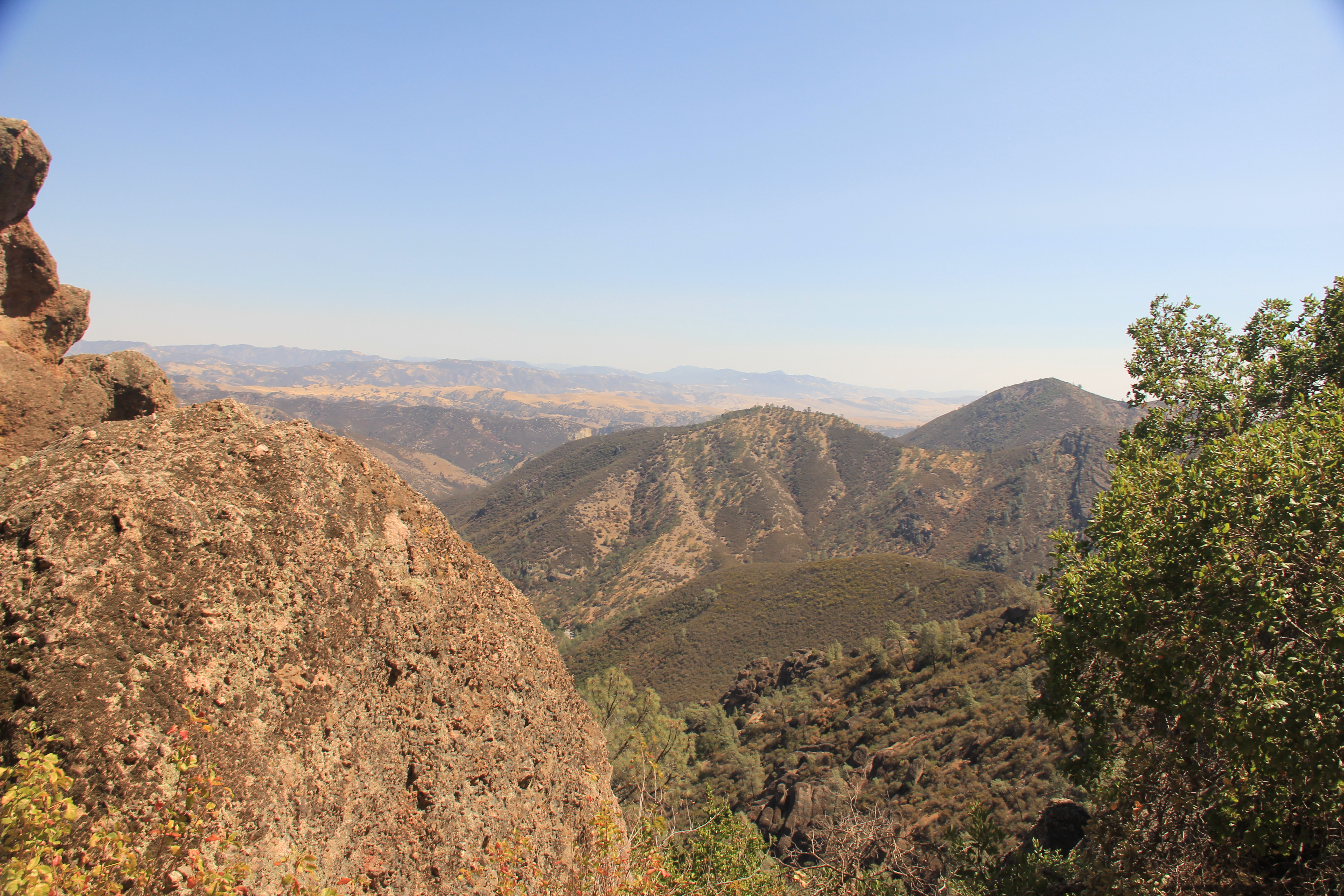
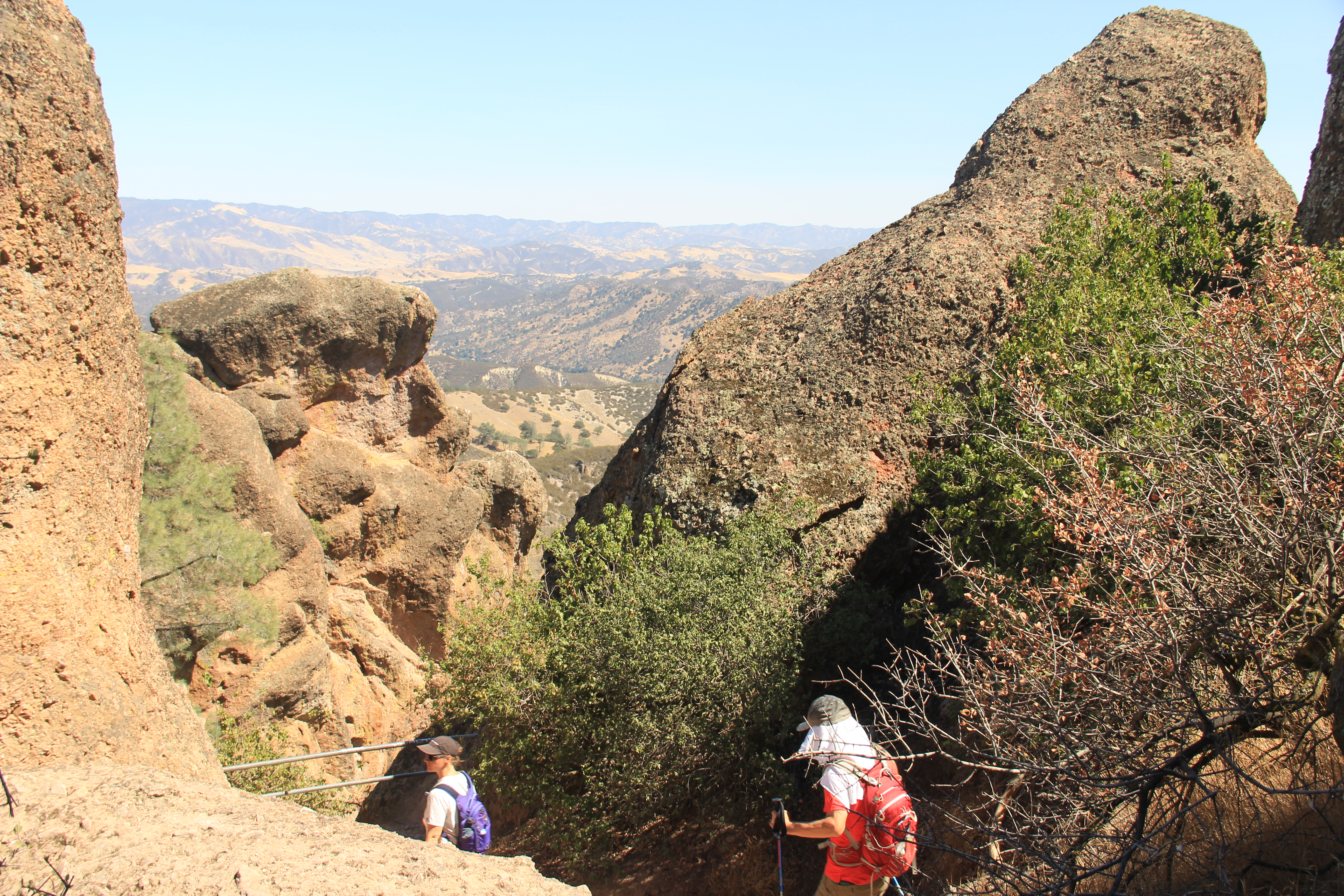
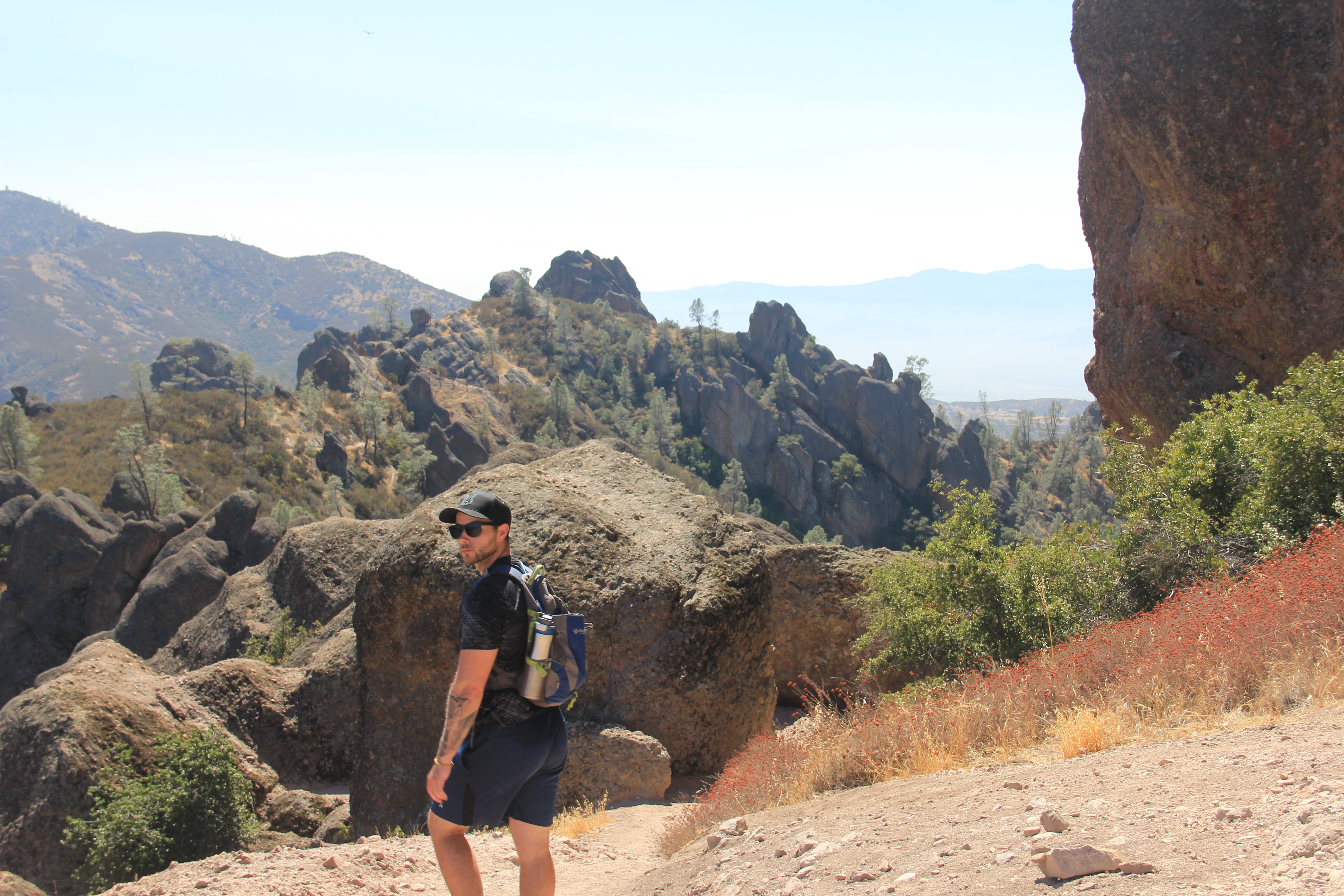
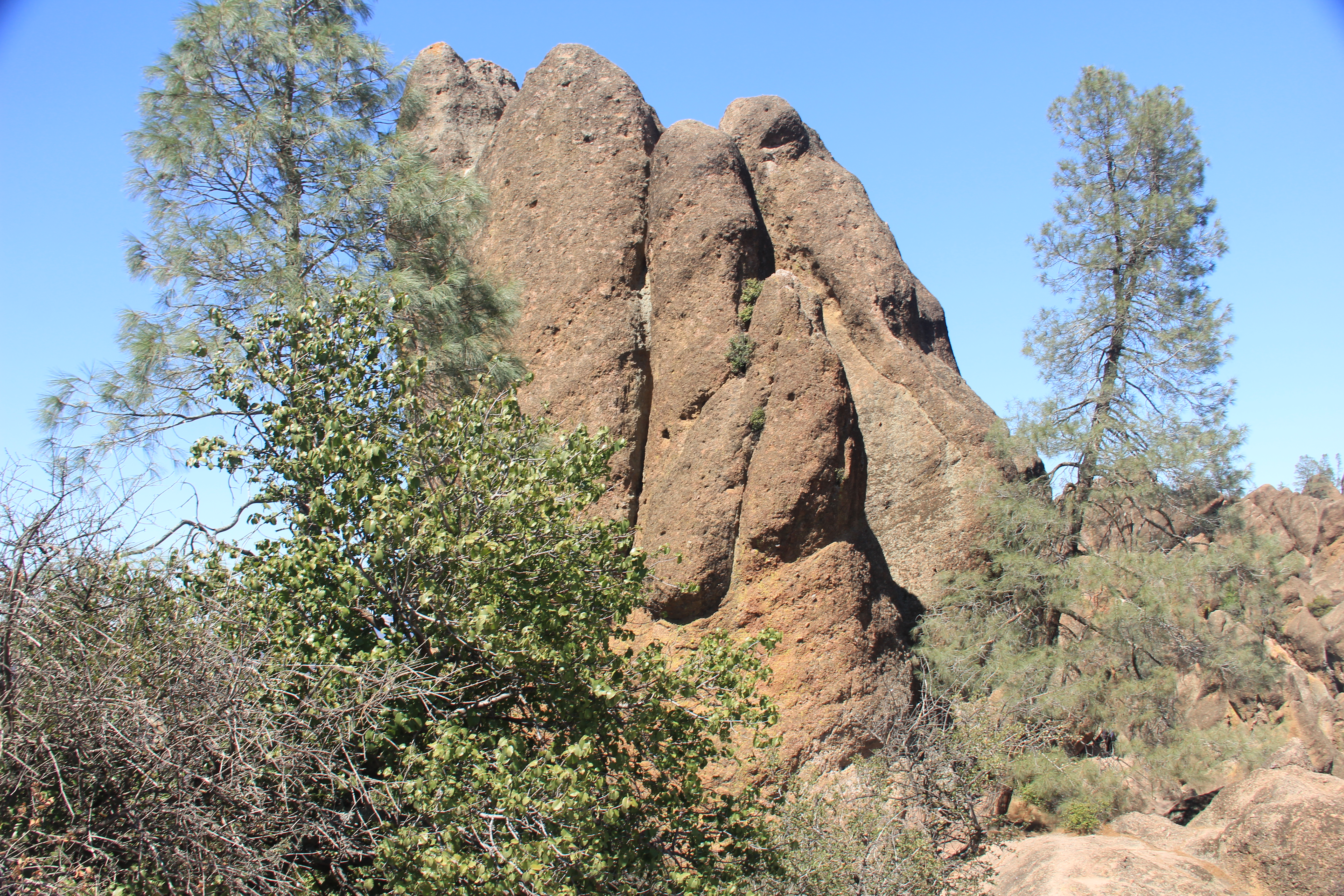
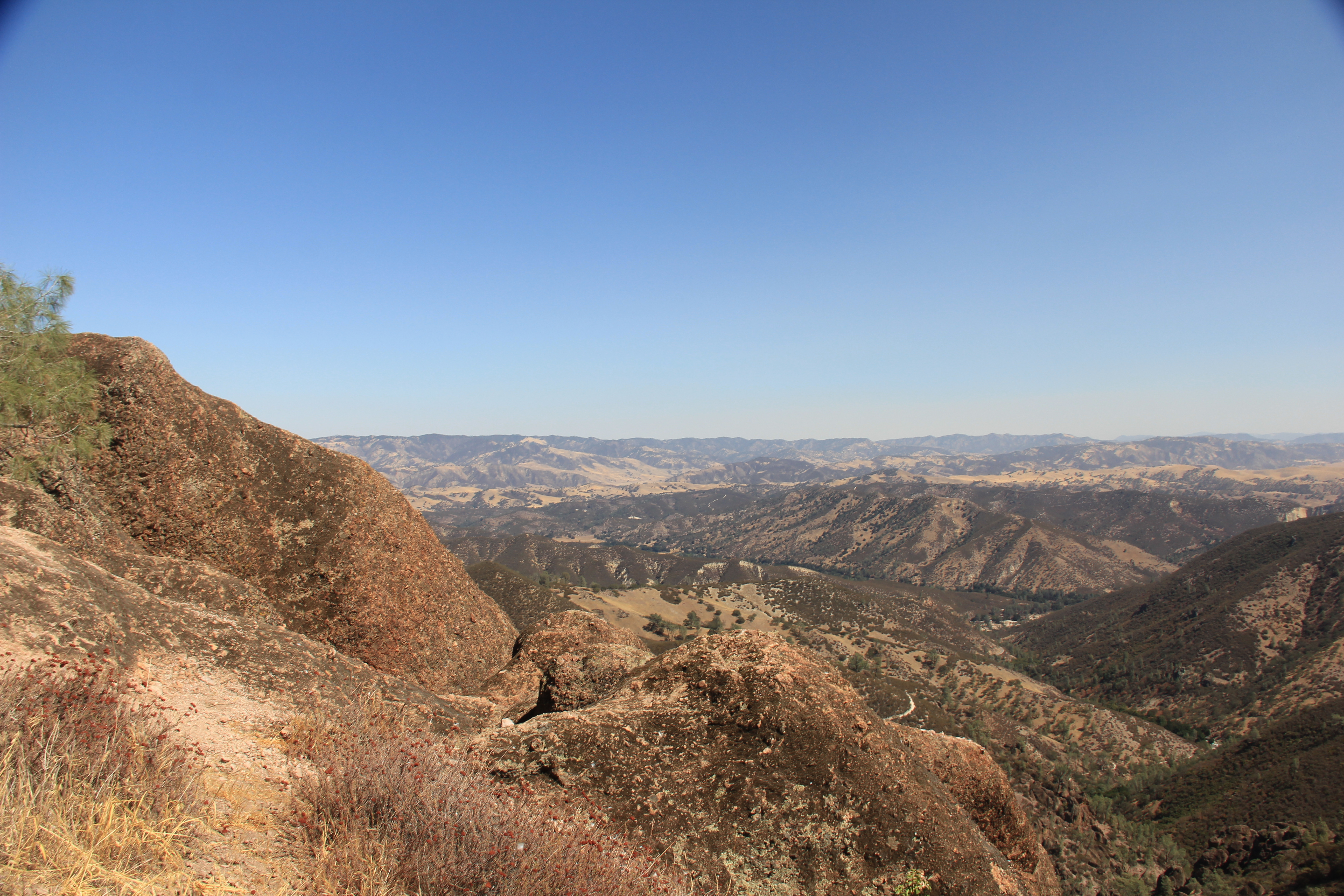
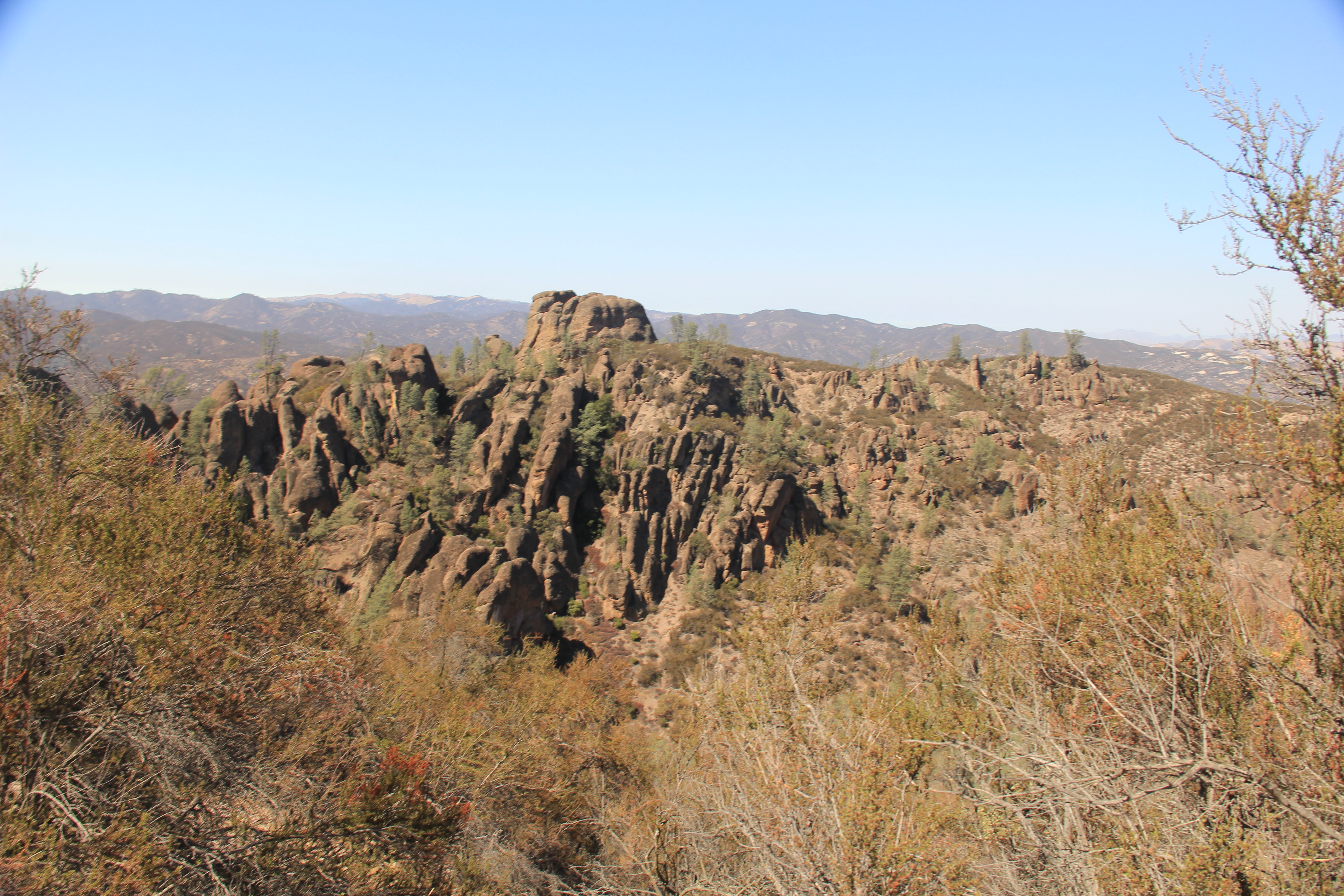
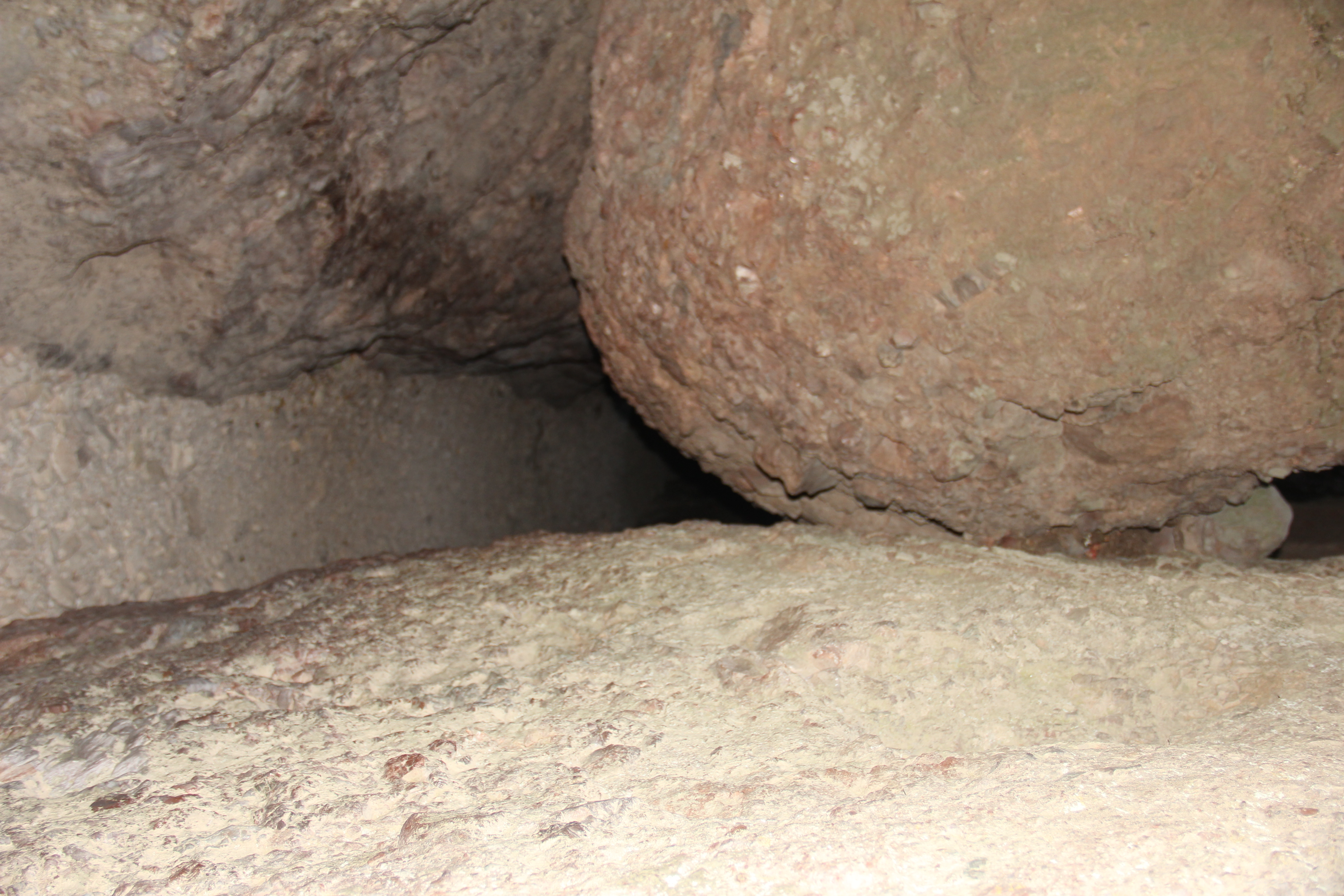
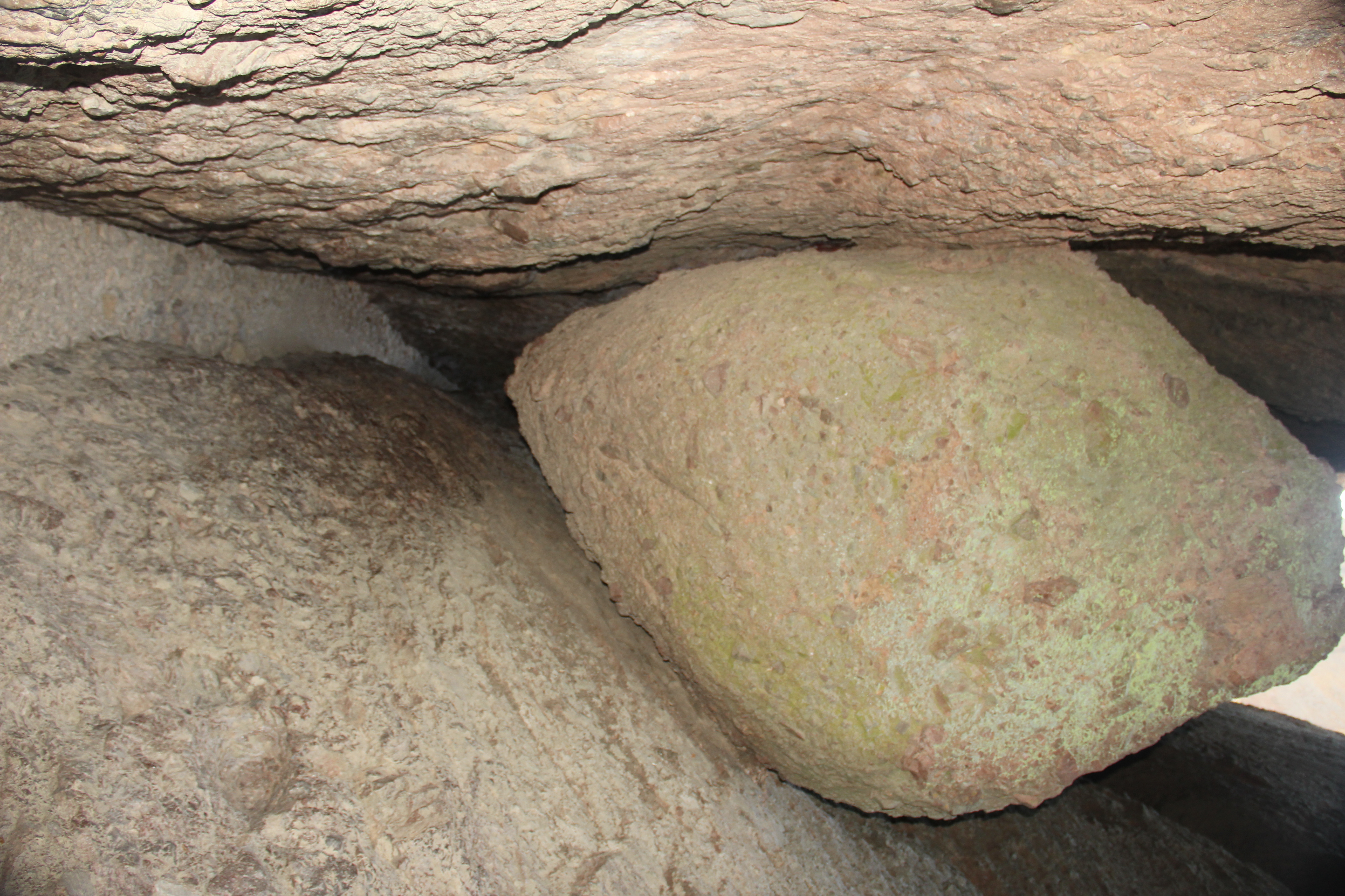
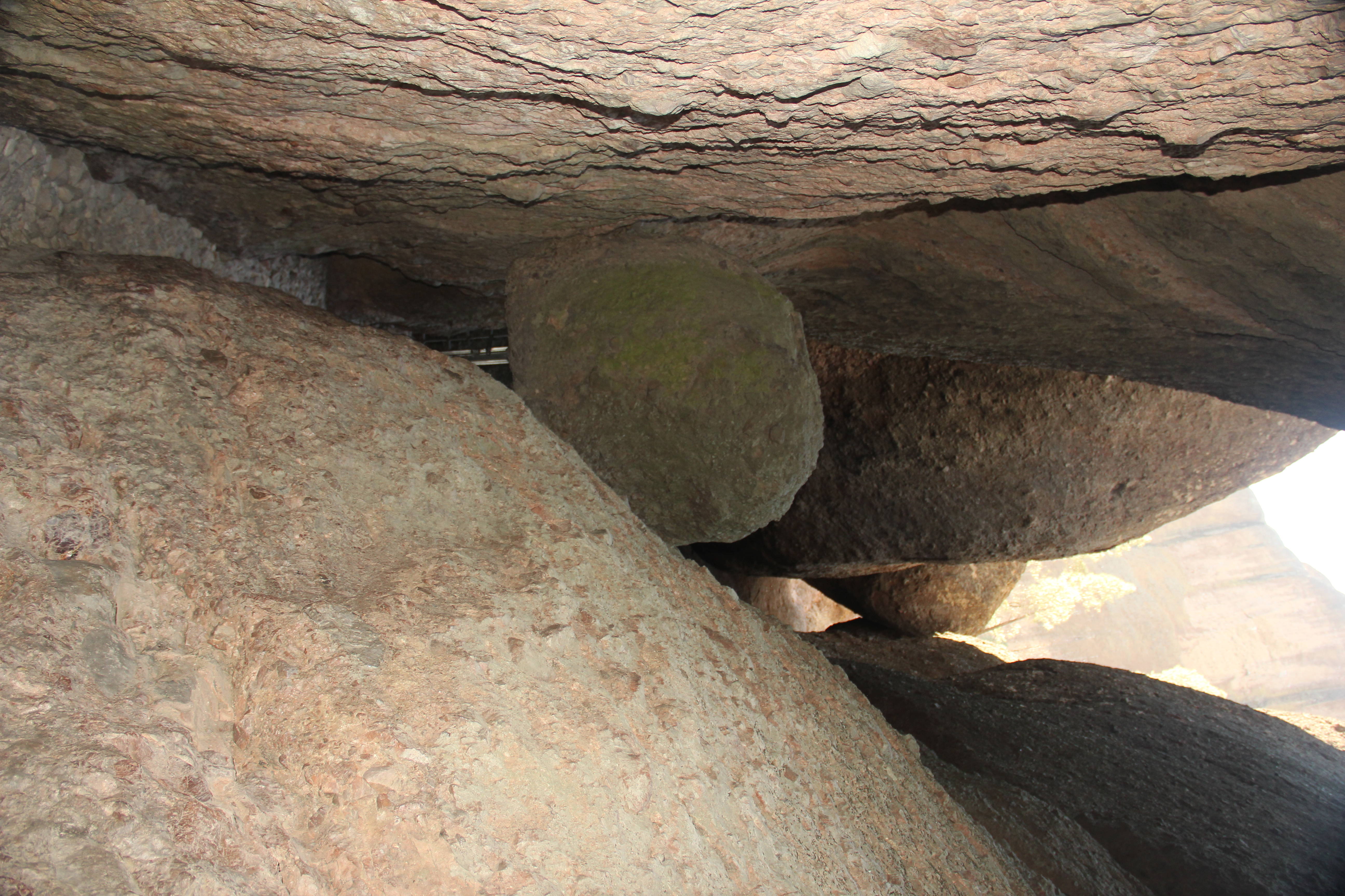
Finally, our first day without a ton of driving! Our hotel was only 30 minutes to the ranger station on the West end of the Park. This is our last day hiking so we wanted to make it a nice long and strenuous hike. Well we accomplished that! We had a great hike that was 9.3 miles and 1850' in elevation gain. We combined a number of trails and ended up doing part of the High Peaks trail on accident. Part of the High Peaks trail had a section right on the side of a pinnacle with steps cut into the rock and a short railing. It was still a little bit nervous for me to do but I remember thinking, at least were going up, I would not want to go down these steps. Then, shortly after that we discovered we had made a wrong turn and had to back track right down the side of the Pinnacle. But, we made it. I think we gained all the elevation in the first 3 miles of the hike up to the top of the pinnacles. The rest was a slow down hill. Finally, near the end of the hike, we got to the Balconies Cave. We had to crawl and climb up and around the giant boulders. Very cool cave!
Juniper Canyon, High Pass (prtl), Blue Oak, Old Pinnacle, Balconies Cave, Balconies Trails!


Friday, Sep 17
Weather: Another nice California Day!
Checked out of our hotel and had another long driving day. We had an early flight the next morning so booked a hotel near the airport. It was almost a 300 mile drive back to Los Angeles.
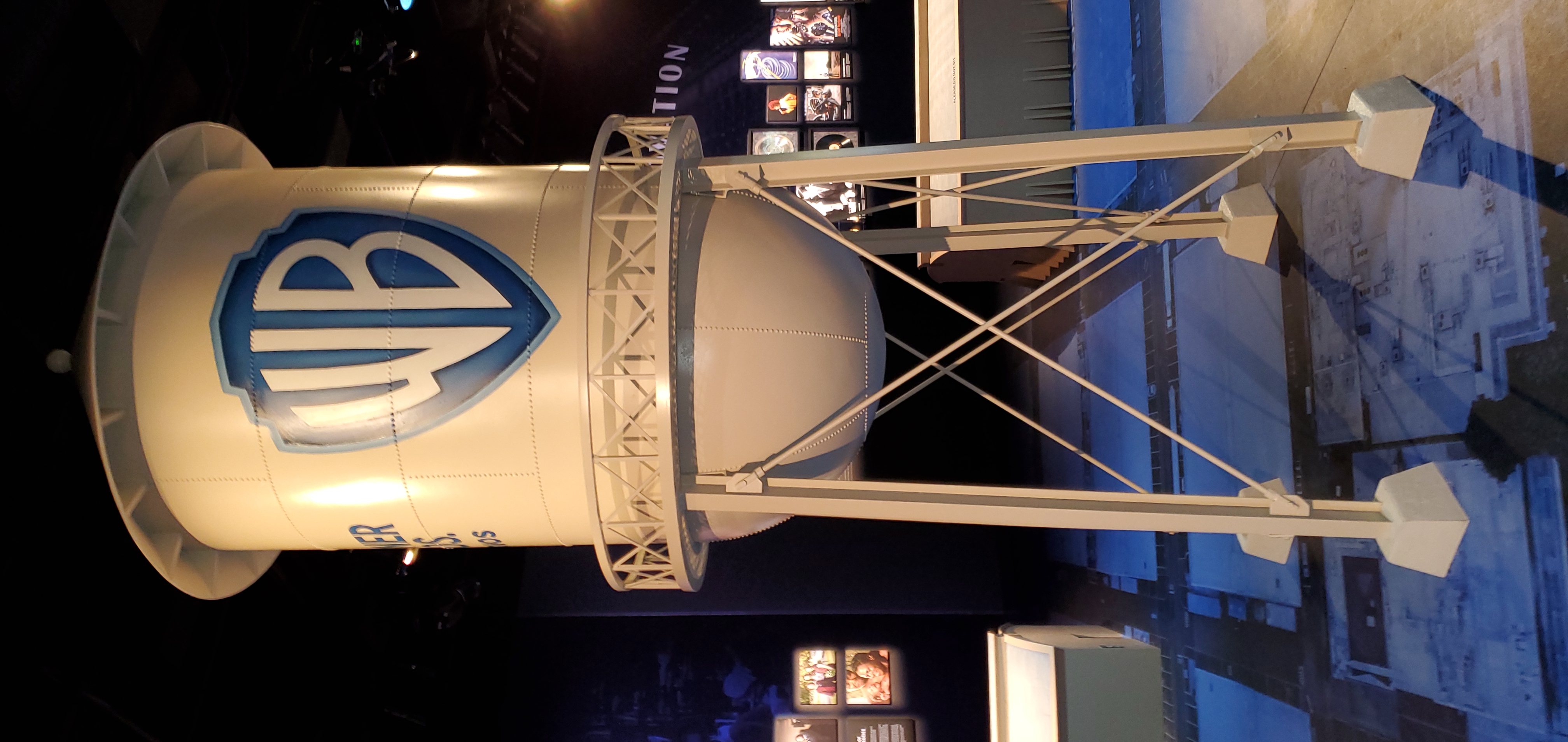
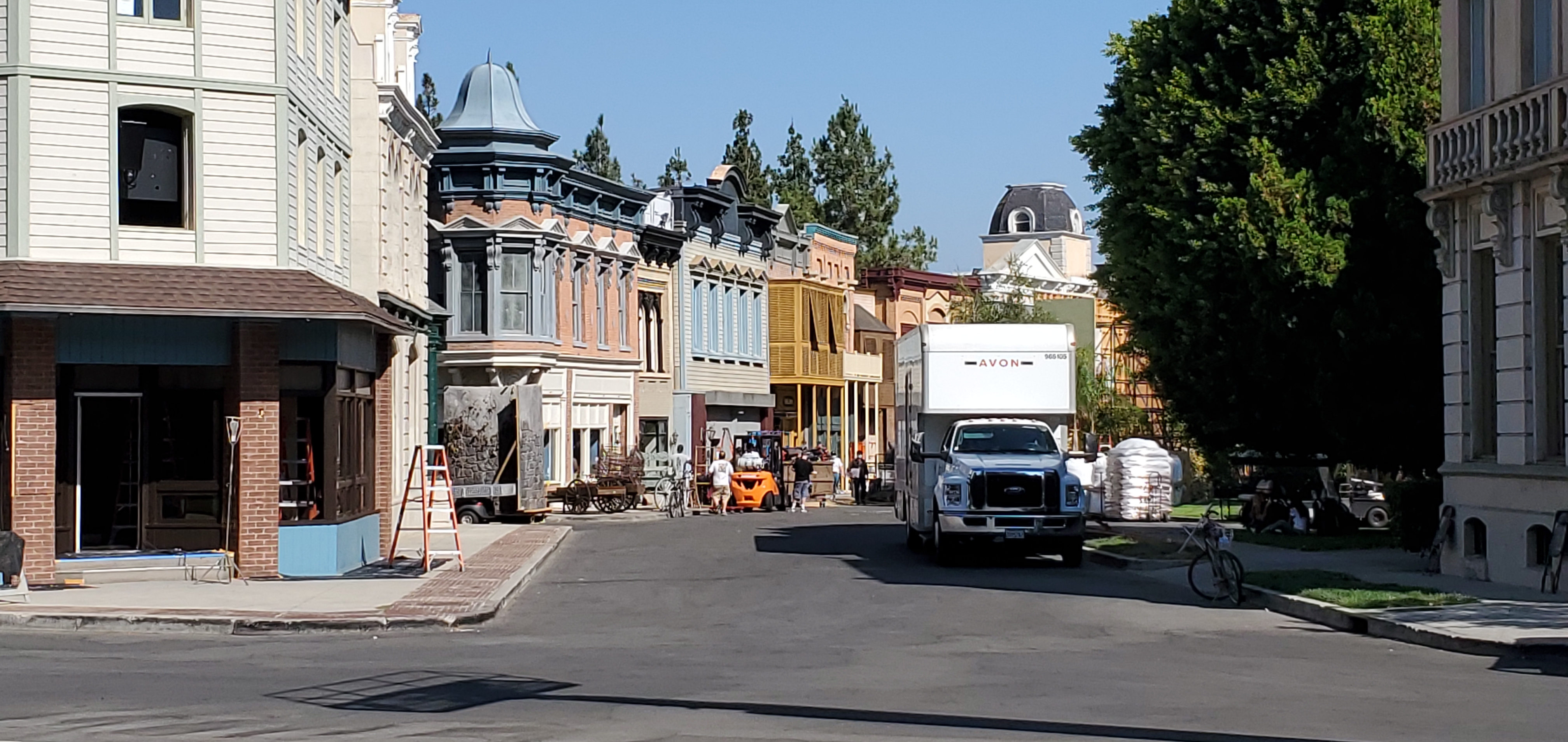
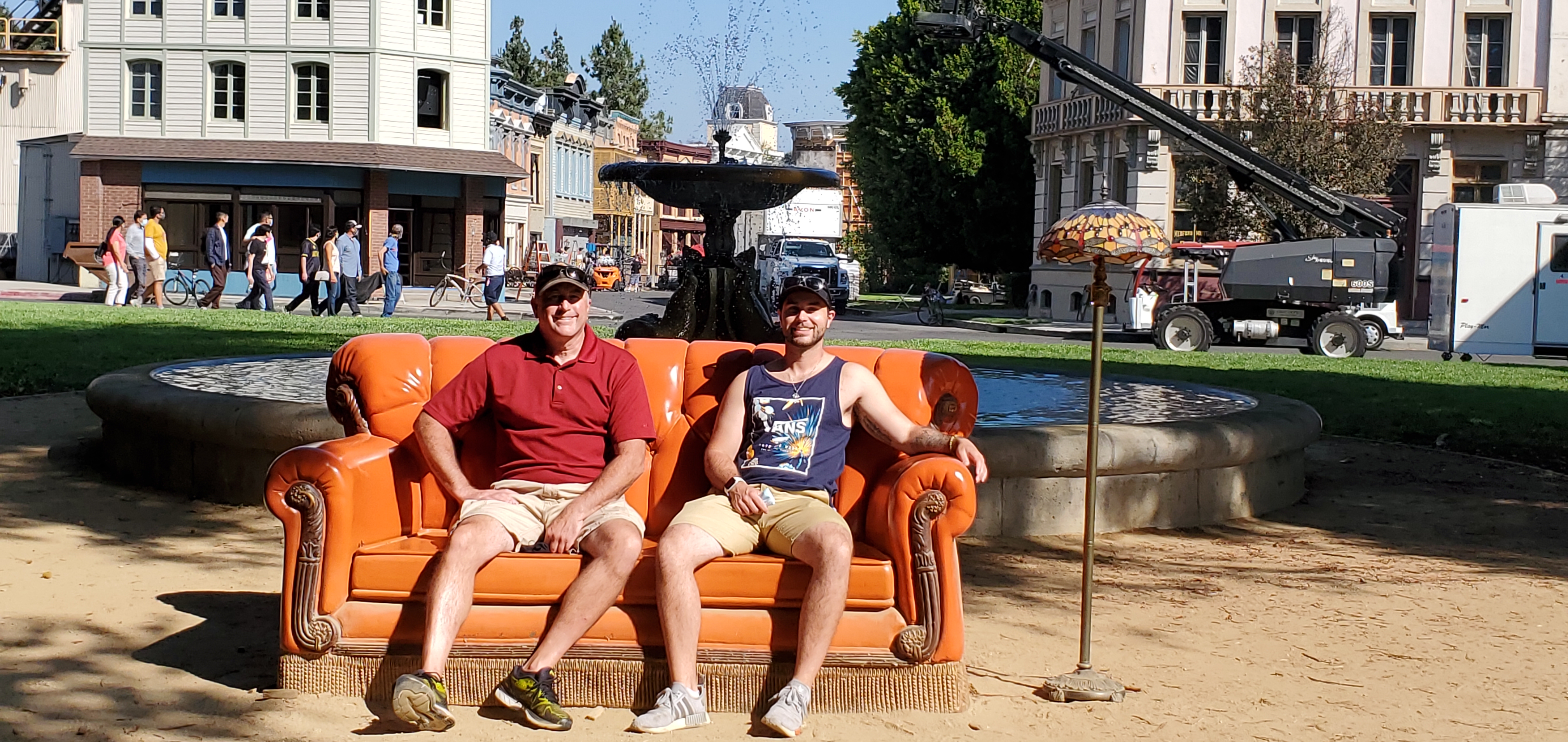
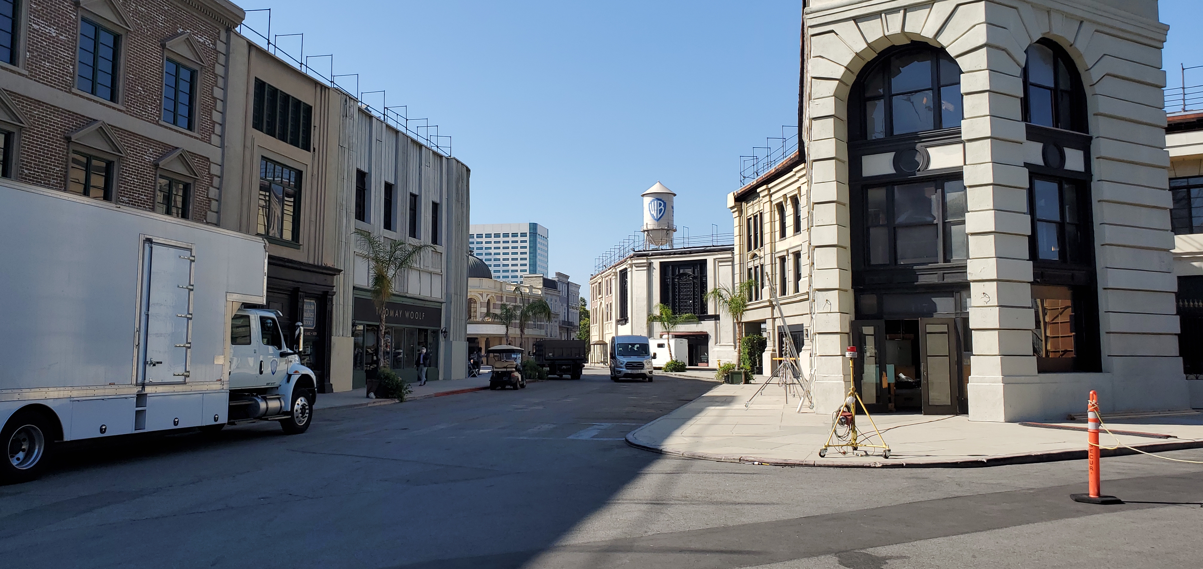
We parked at Warner Brothers Studios and had time to walk around the neighborhood and found a nice place to eat lunch. After lunch we walked back to Warner Brothers for the tour we had booked for the afternoon.
Warner Brothers Tour
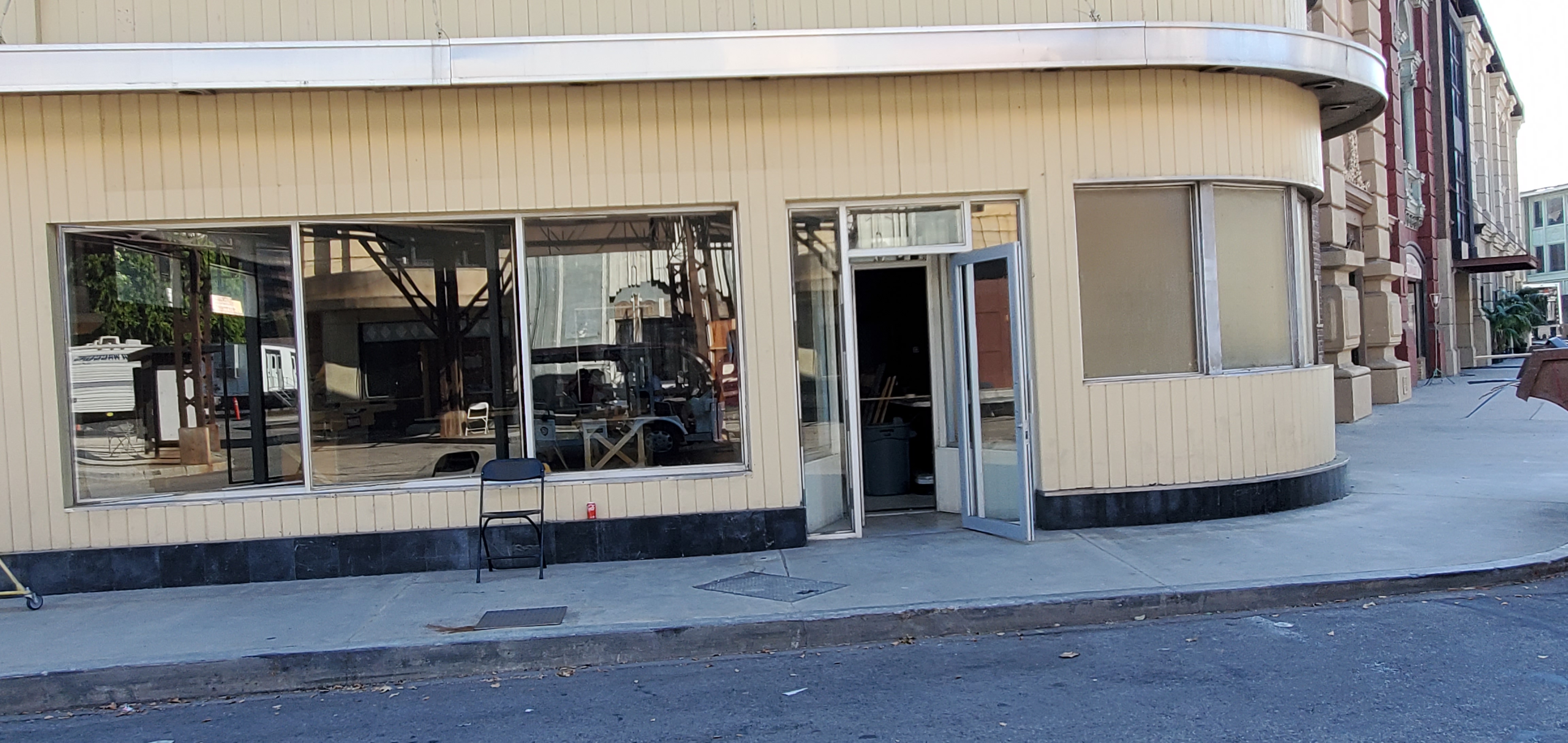
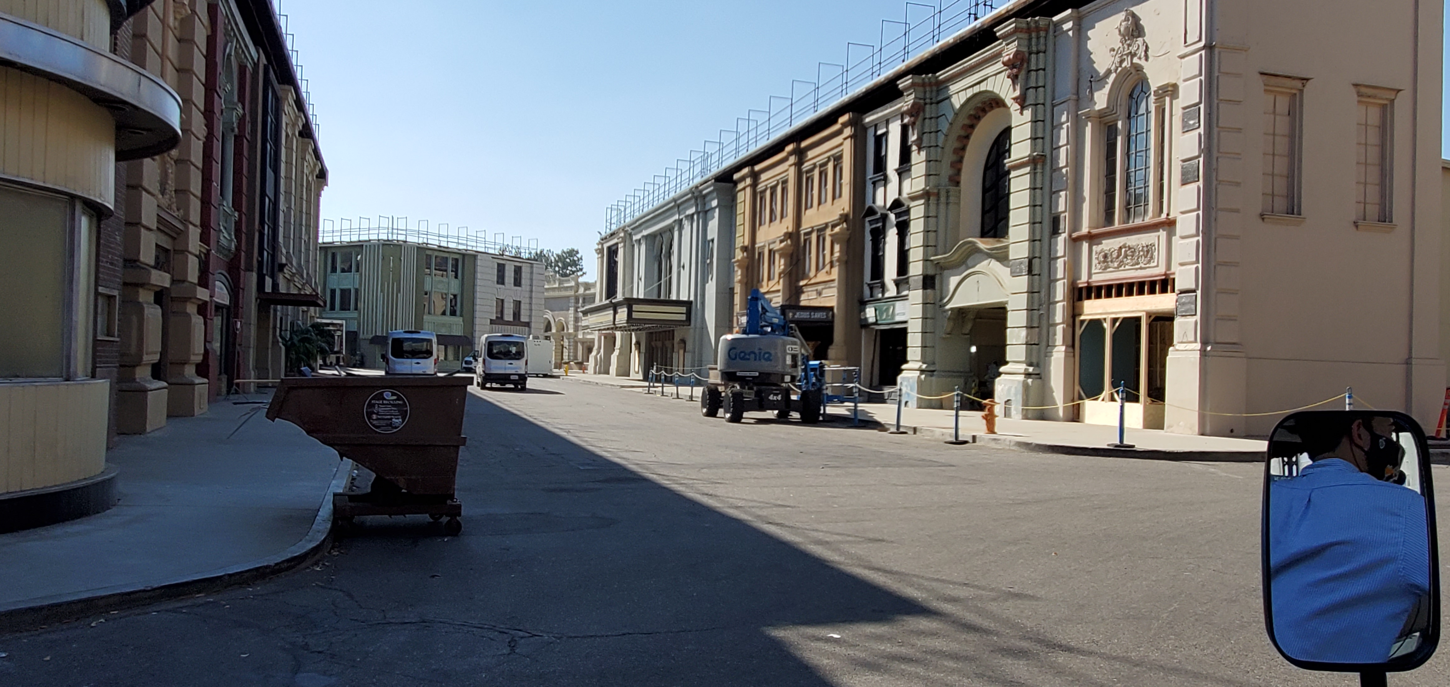
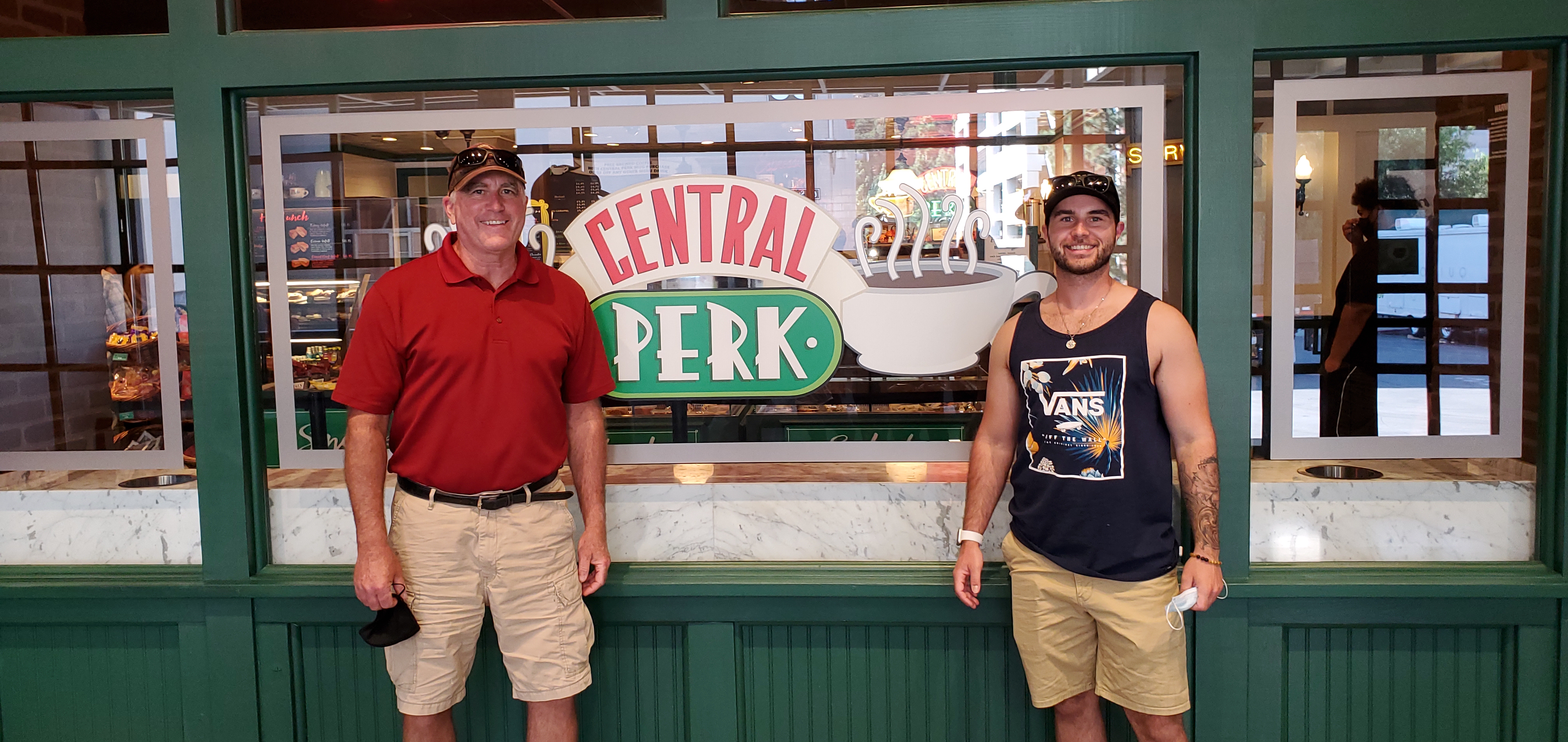
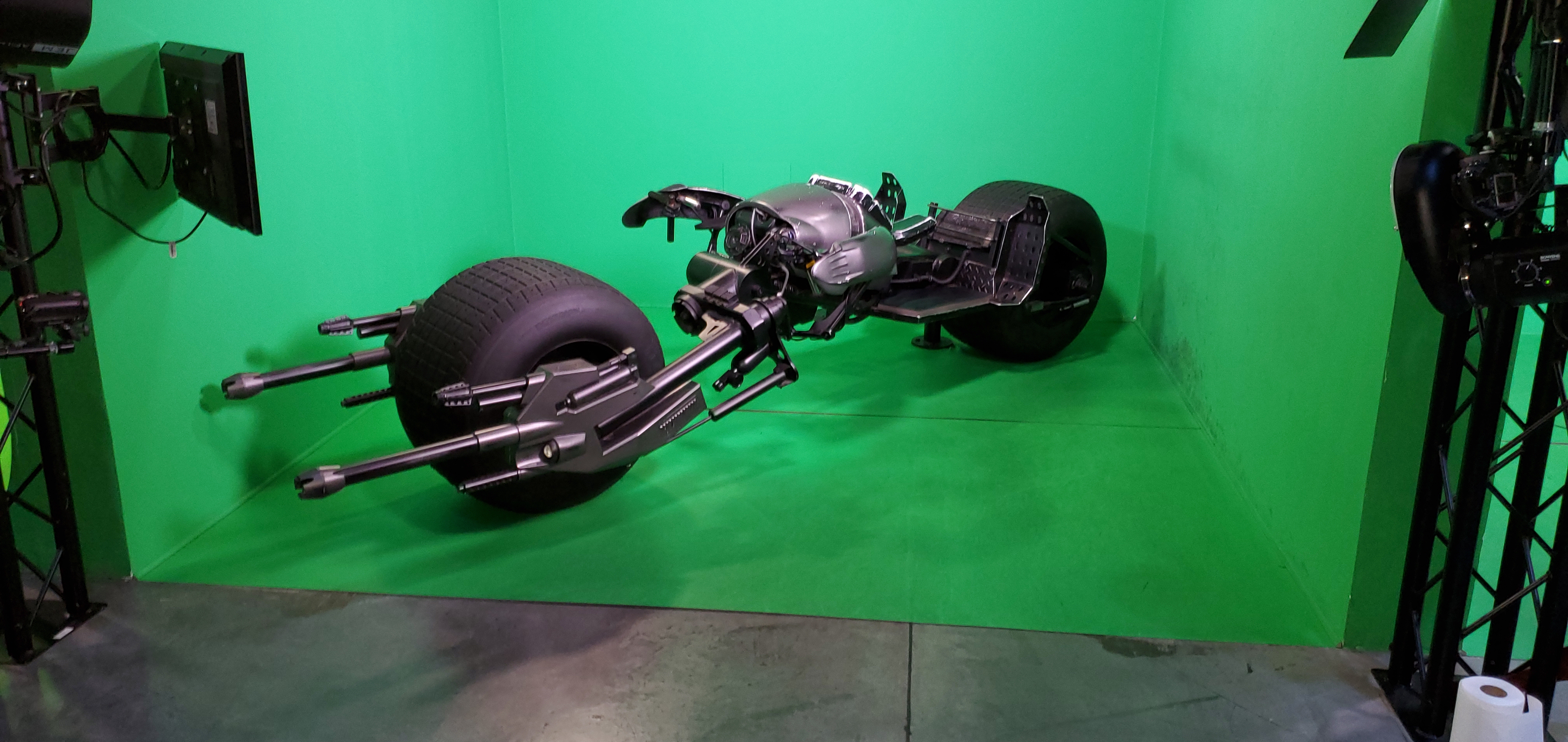
There were only two other people on the tour. Our guide drove us around the grounds pointing out which buildings were in which movies etc. What is interesting is all the insides of the buildings are office space. All the show and movie sets are in the large studio buildings. Ellen Degeneres seems to have her own whole huge studio. We did go into that studio and saw were the show is filmed. The set is actually kind of dingy. After the tour guide left us we were free to walk around the museum seeing some of the sets for Friends and The Big Bang Theory. It is funny the cafateria set for Big Bang Theory is tiny, just that small table and chairs you see. They also had the apartment for that show too. The coolest part for us was the Batman stuff. They had a bat mobile and the motorcycle. Jake did a virtual ride on the bike in a green screen set. The tour was OK. Worth doing once but not twice.


After the tour we drove around LA some to get a feel for the city. We drove down Sunset Blvd. Some restaurants some music venues, no parking. Then it took us 45 minutes to go about 10 miles heading toward our hotel. Now I have feel for LA. Doesn't feel all that great.
And... to finish off the California experience, just after settling into our hotel in LA we felt the ground shake!! Turns out it was a 4.3 magnitude earth quake. No damage was caused but the ground shook pretty hard for a few seconds.
Saturday, Sep 18
We had a 7am flight so left early. The flight was full but uneventful. Kathryn and cutter picked us up at the airport.
Home Sweet Home!
All in all this was a pretty cool trip for Jake and I. We had lots of changes to our original plan due to the fires and caused us tons more driving than we had planned but, a lot of the driving was scenic, or at least interesting and different than Illinois. We bagged two national parks on the trip too!